Charlie and Janice's home page

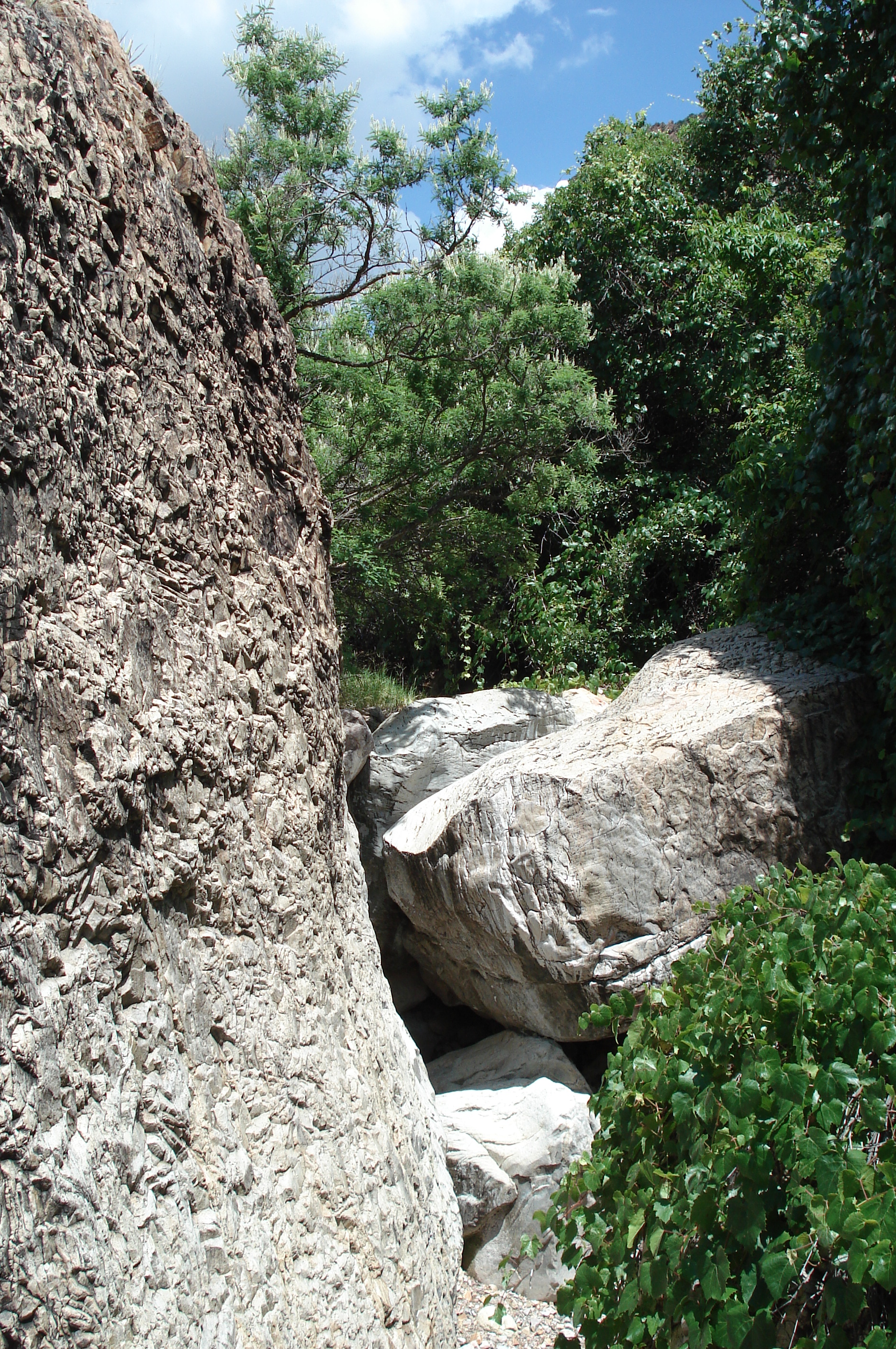
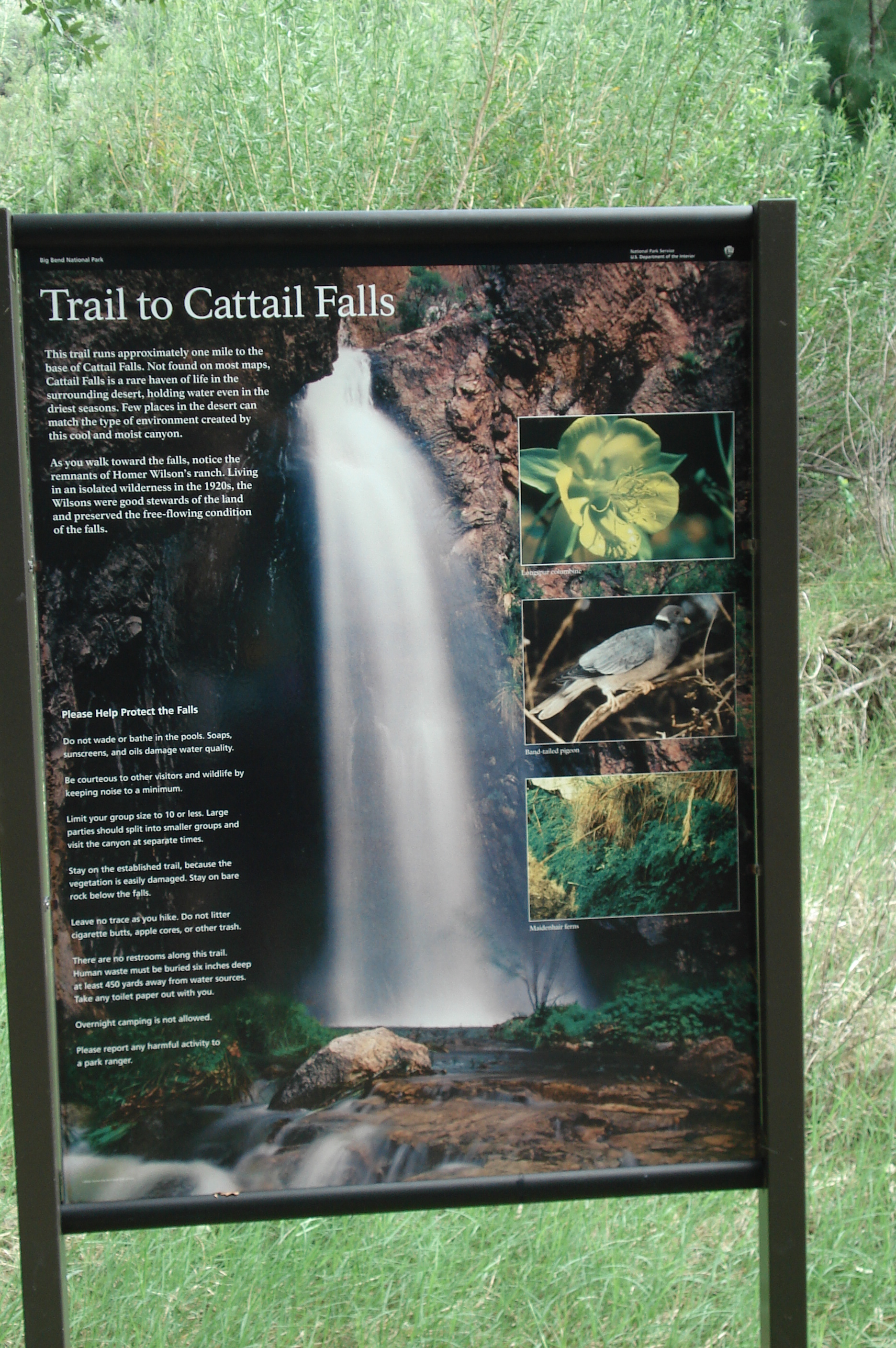
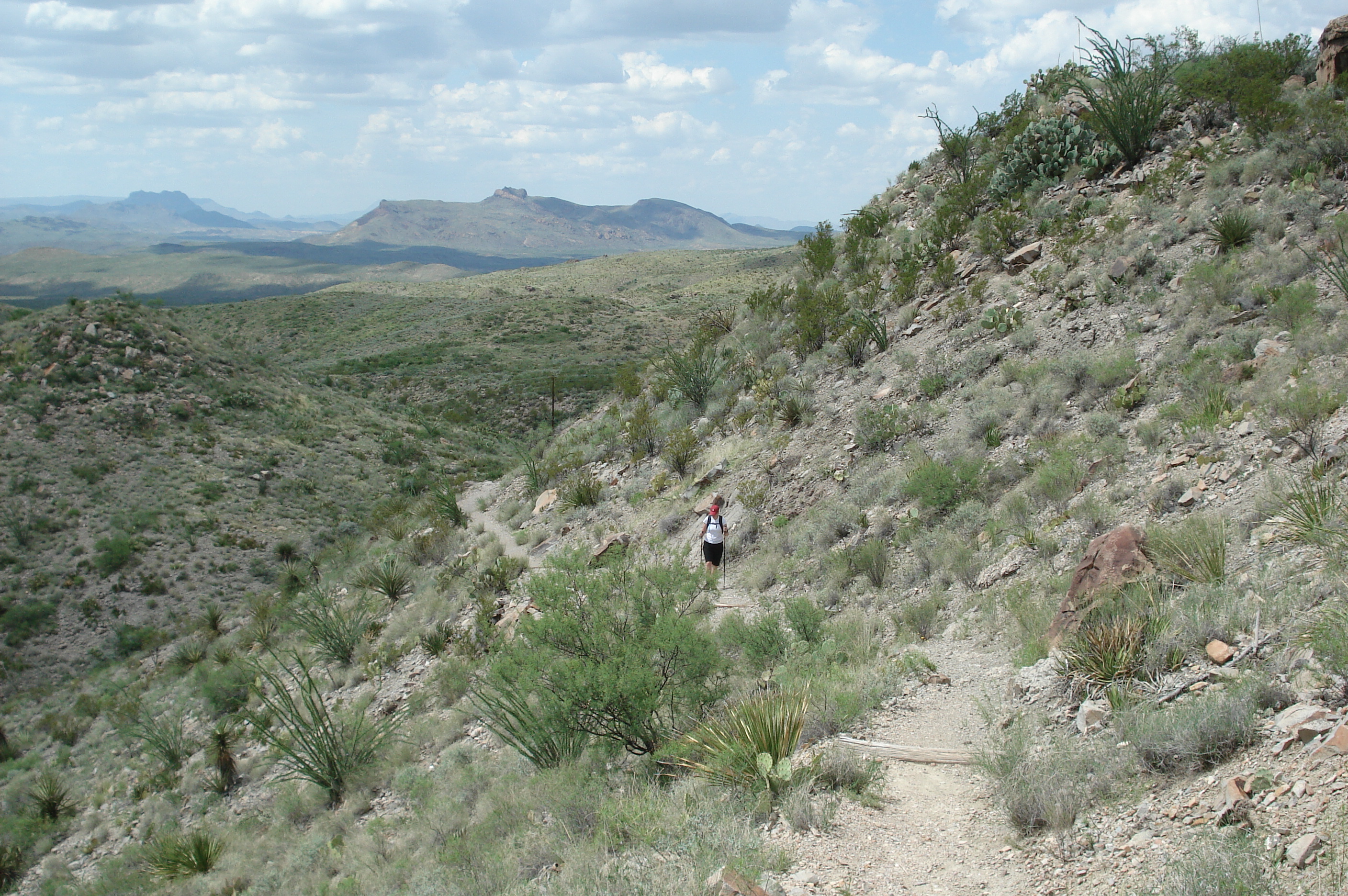
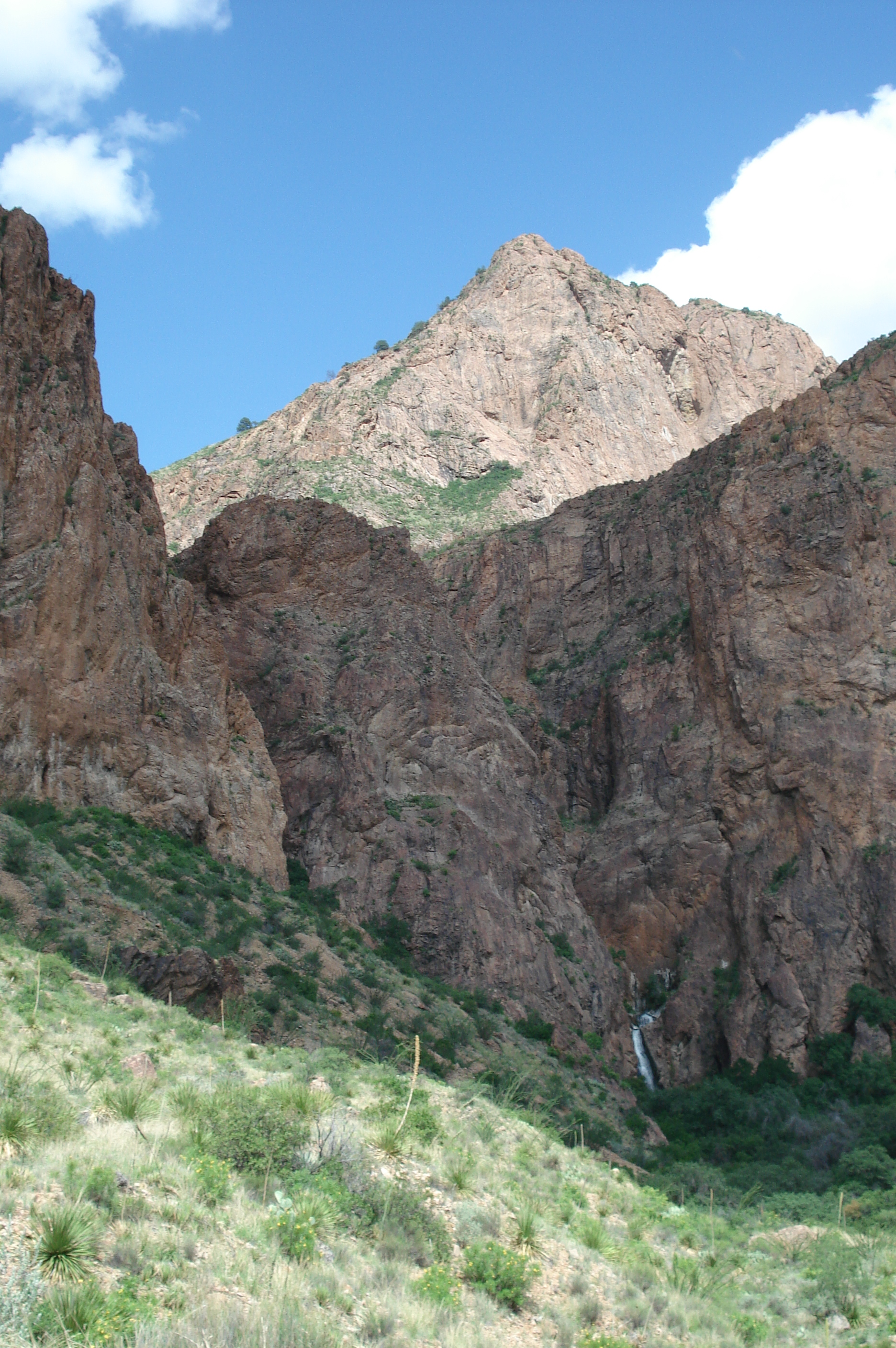
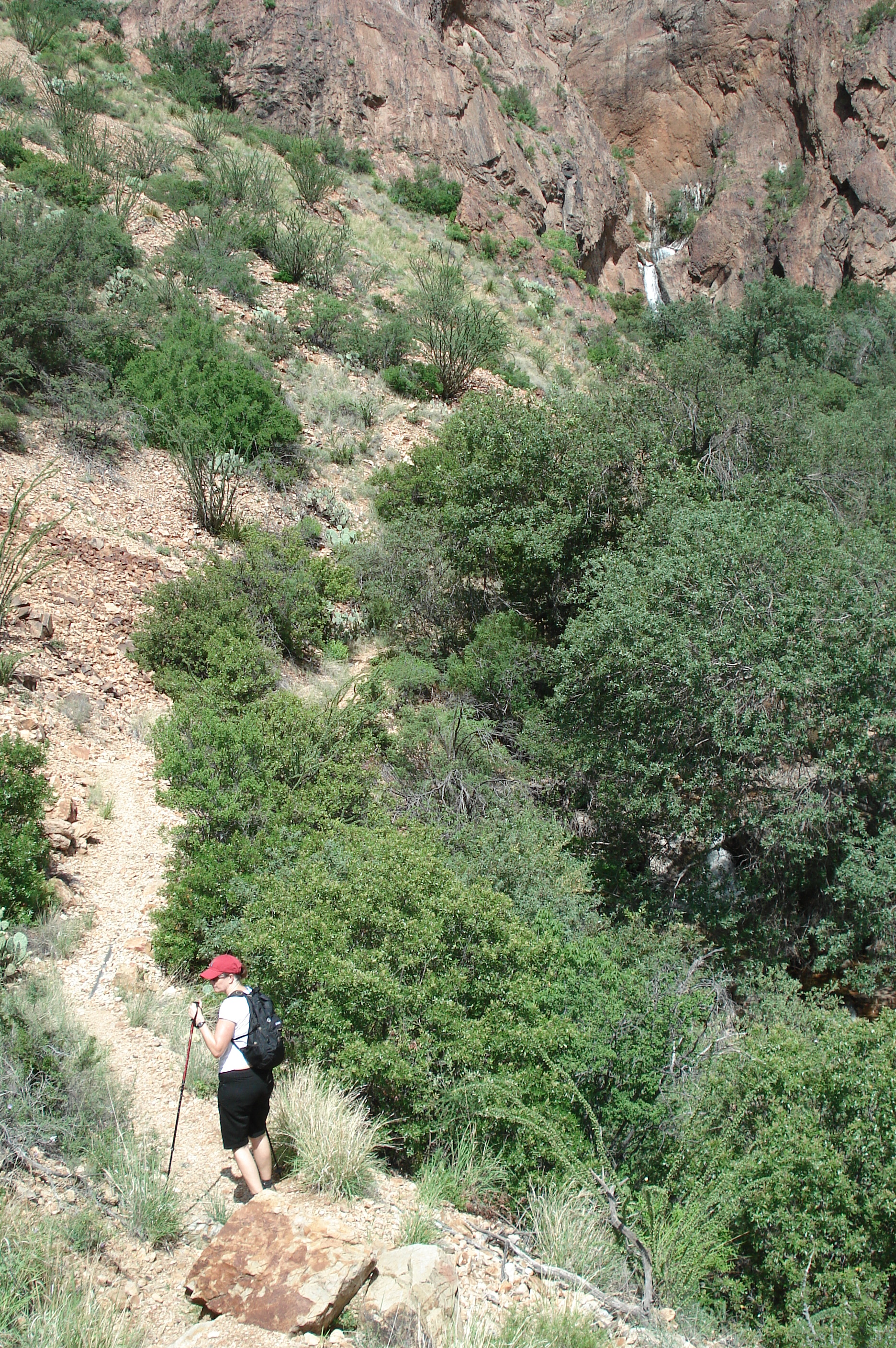
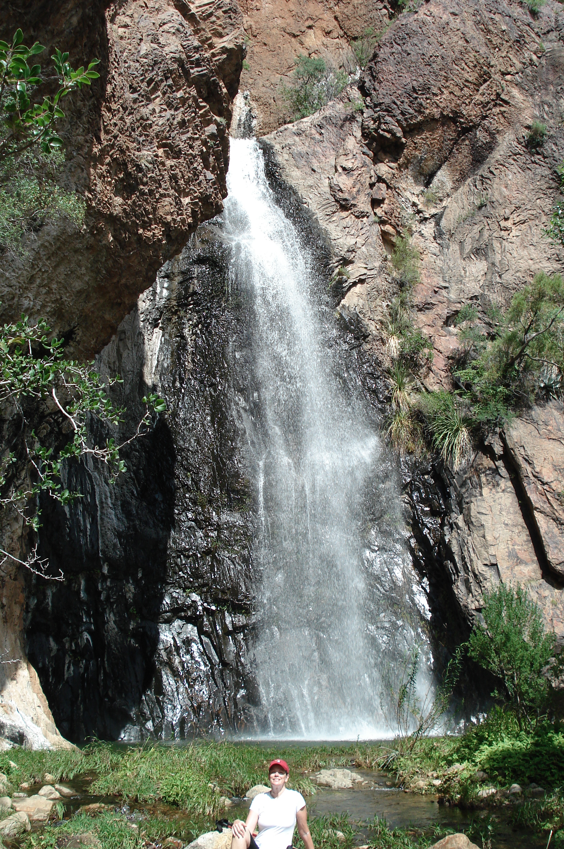
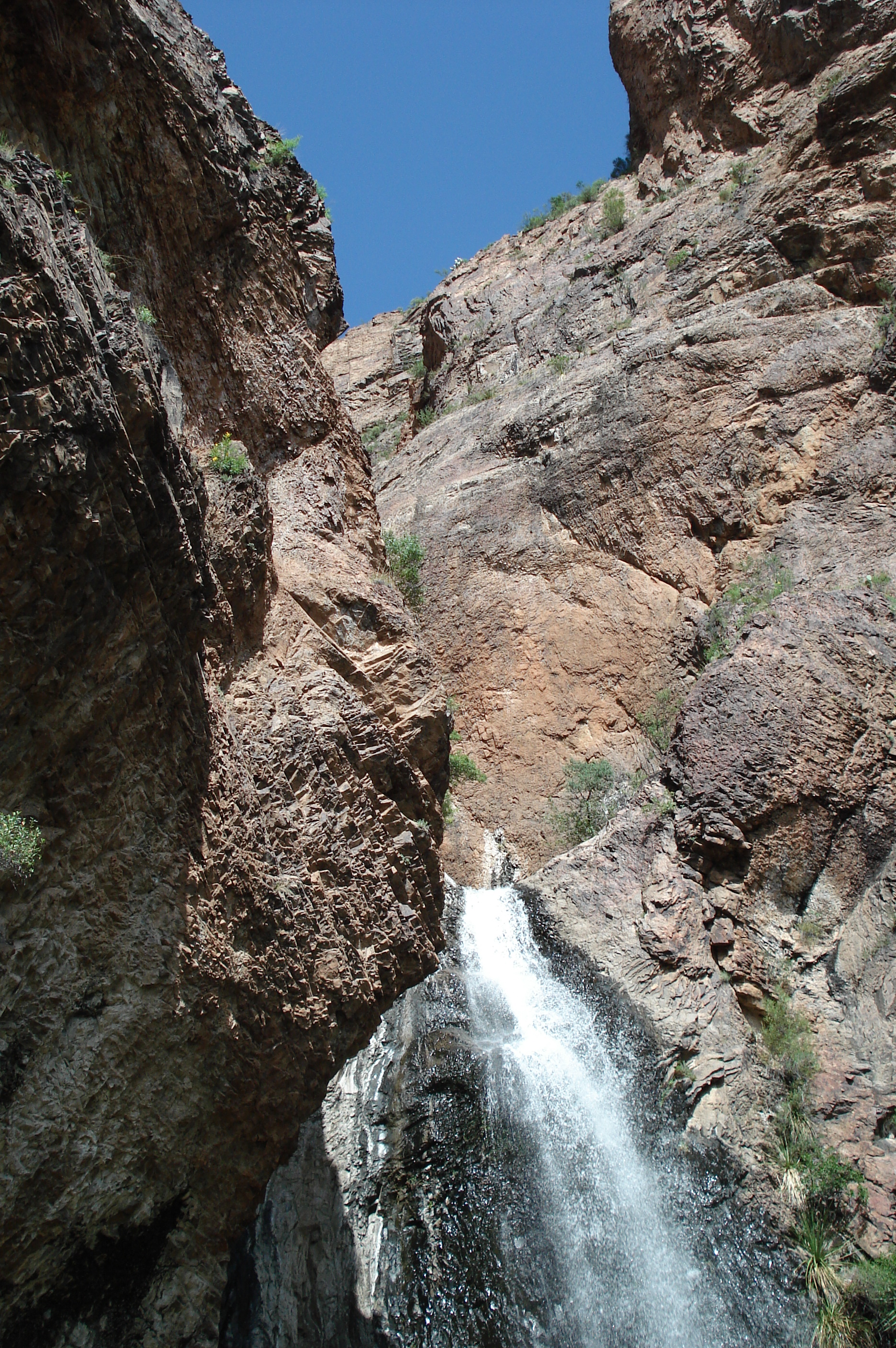
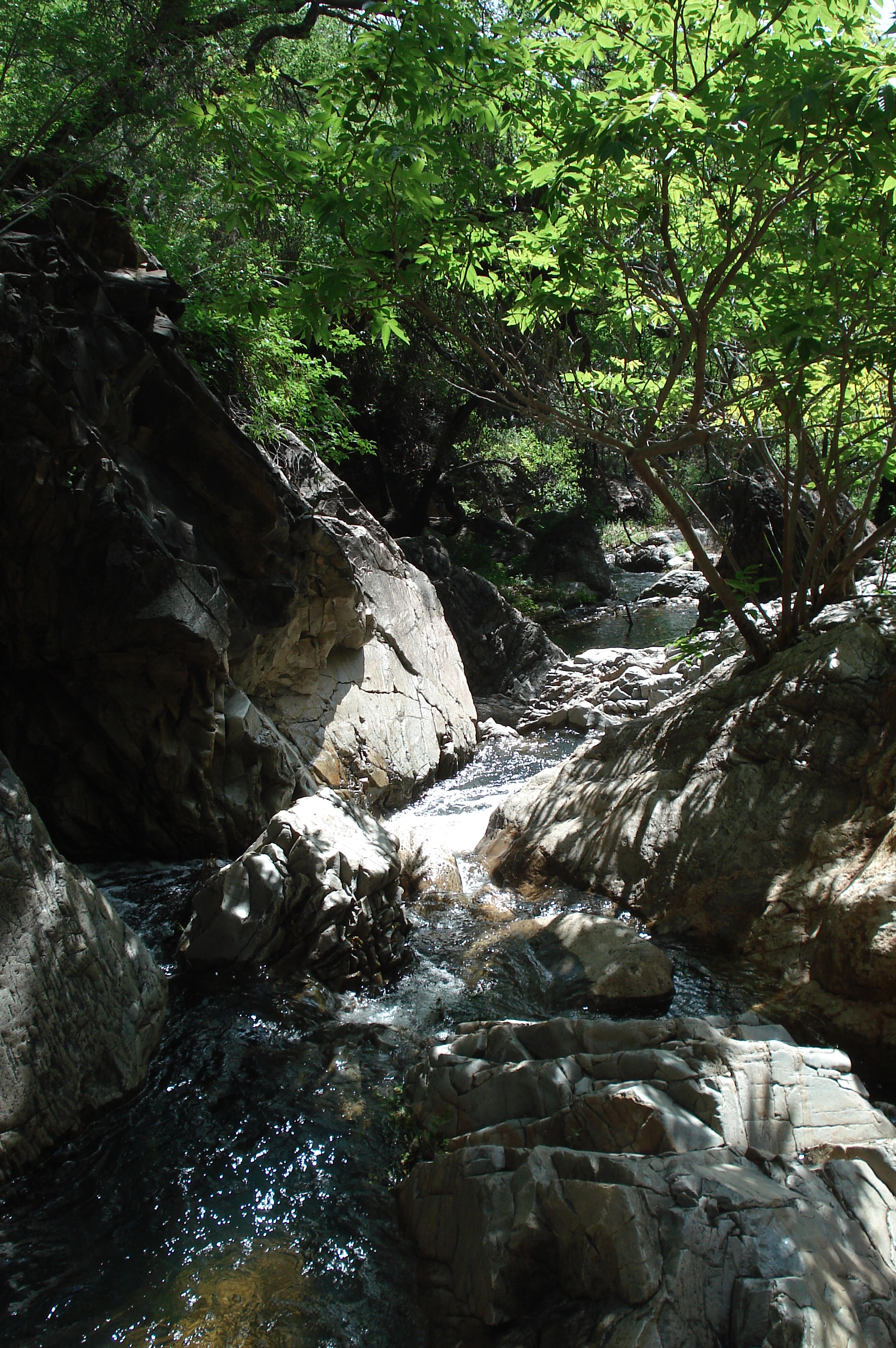
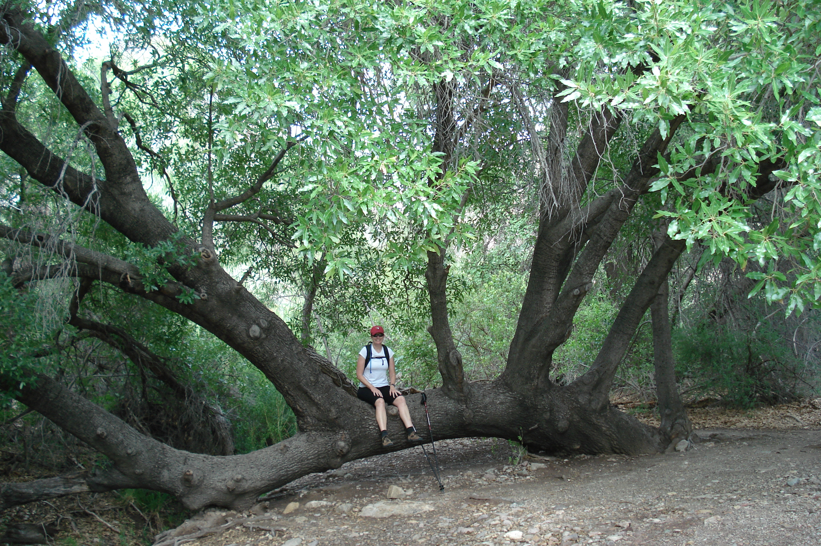
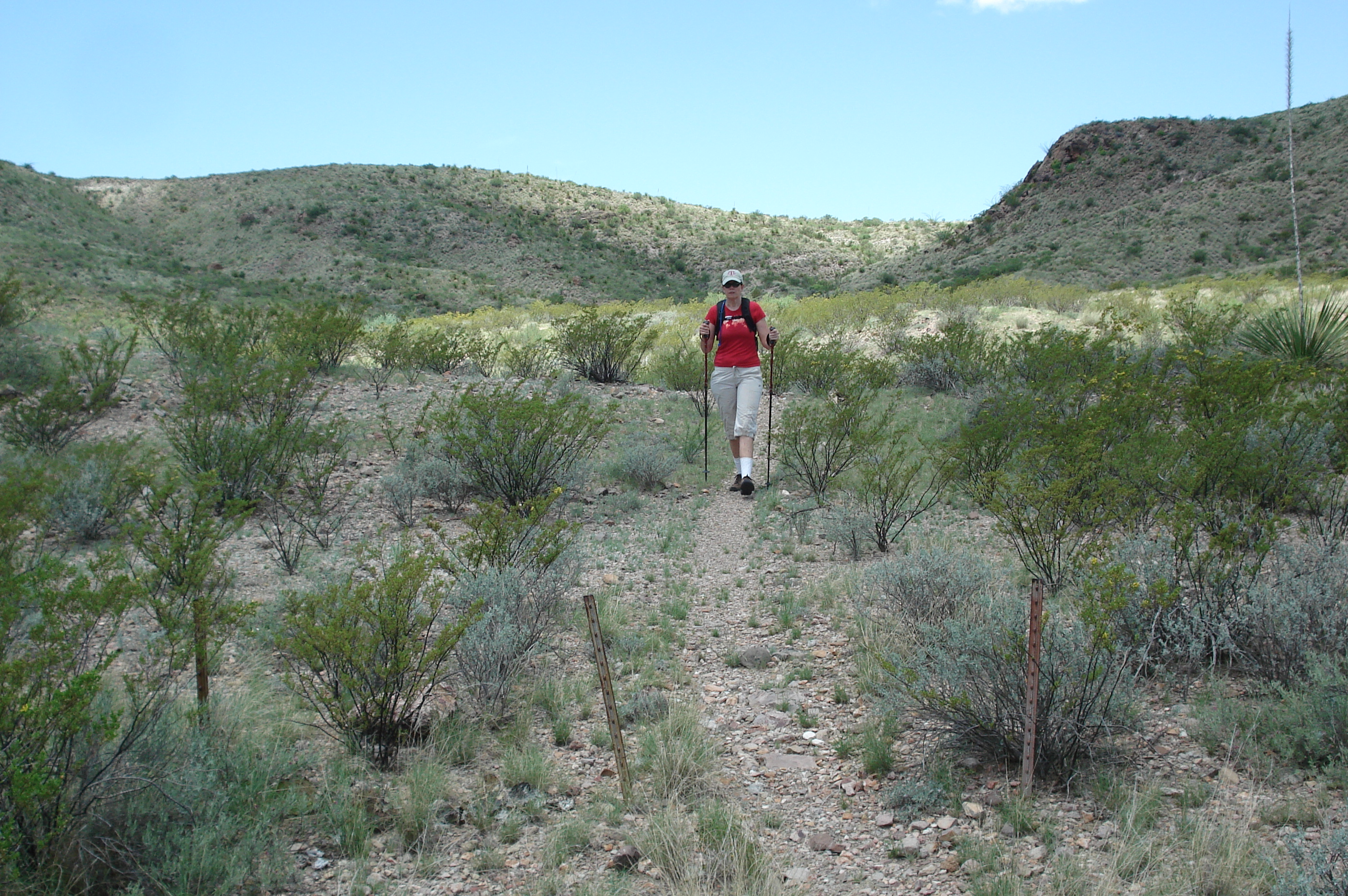
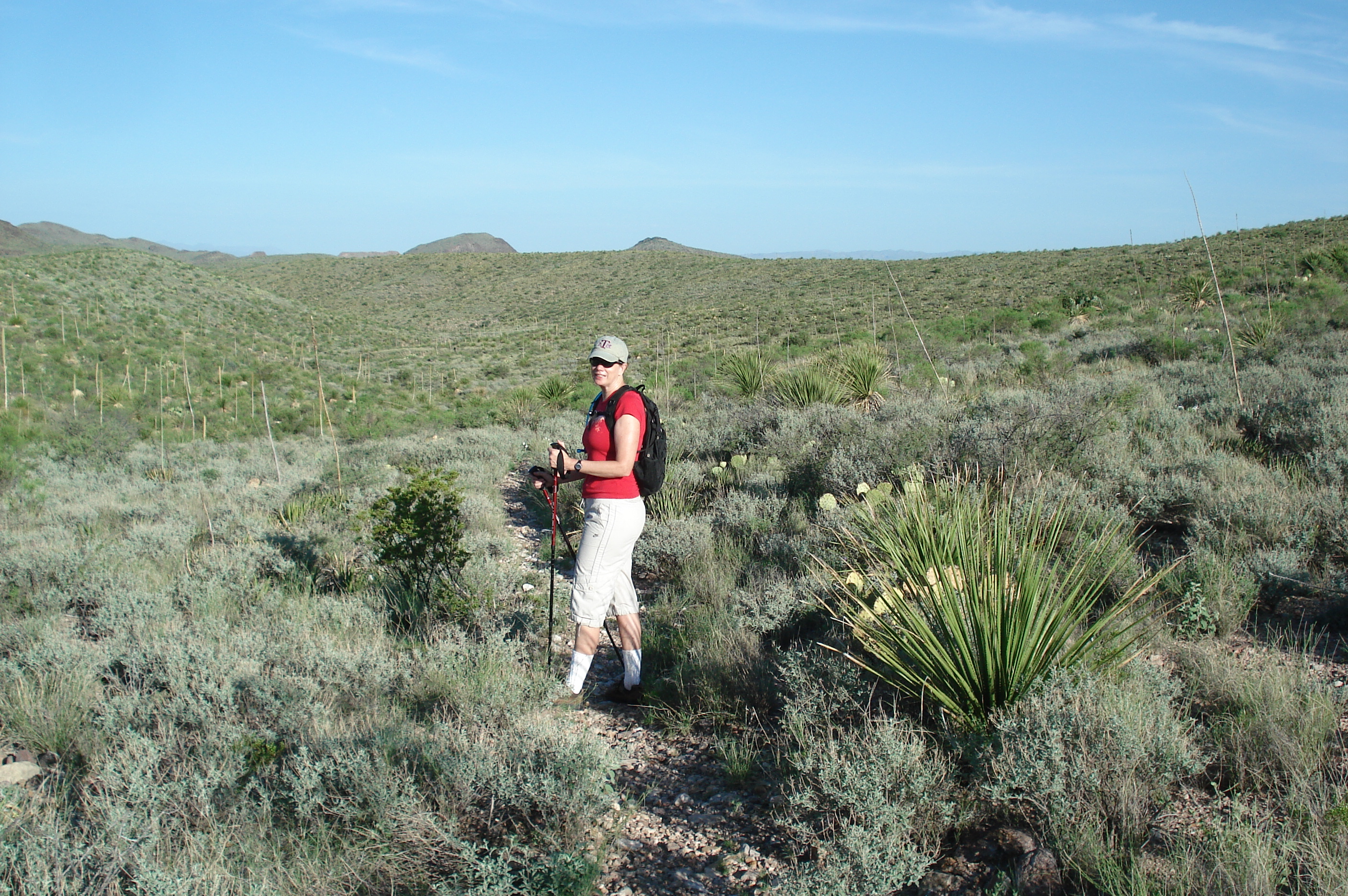
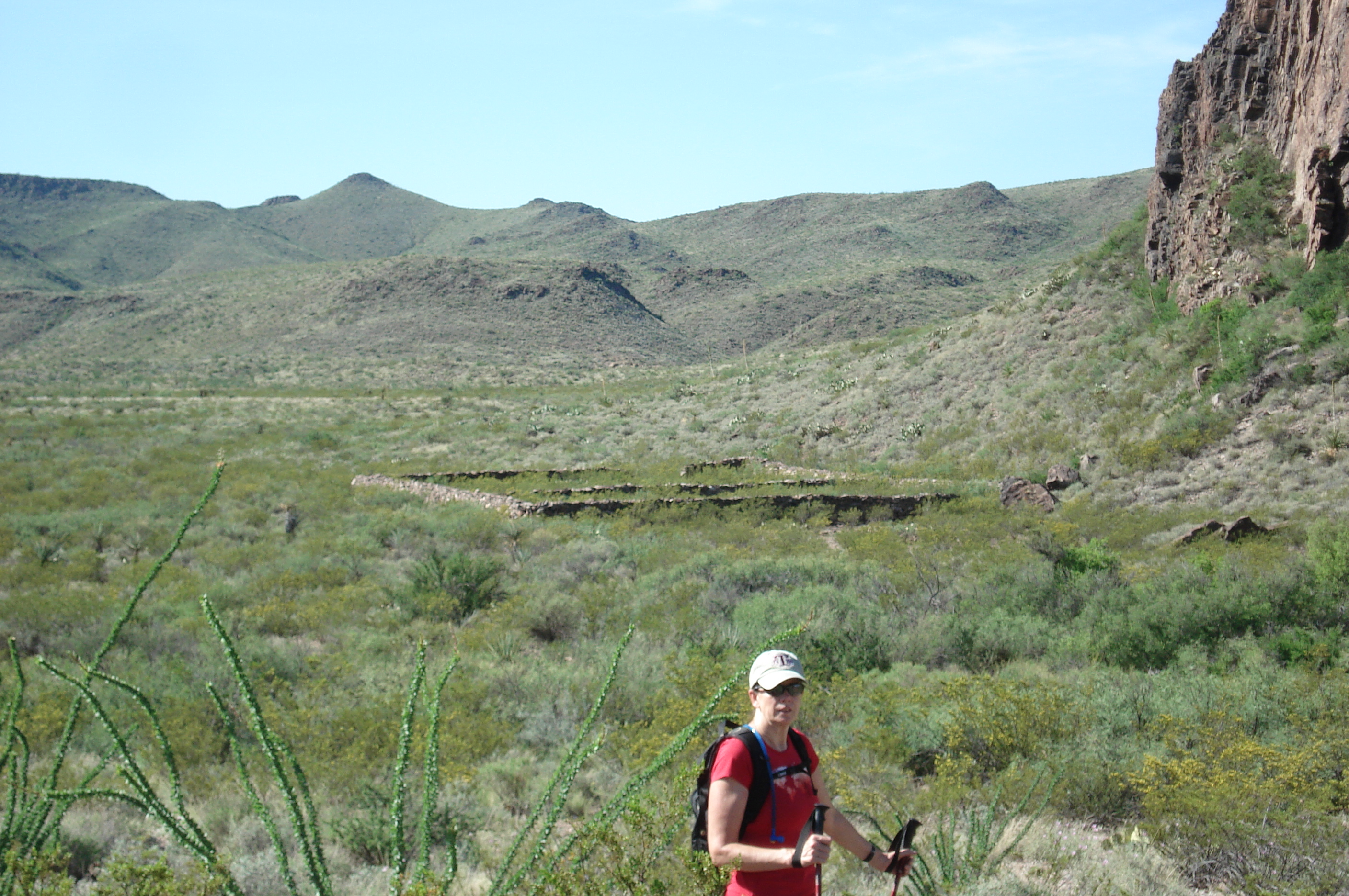
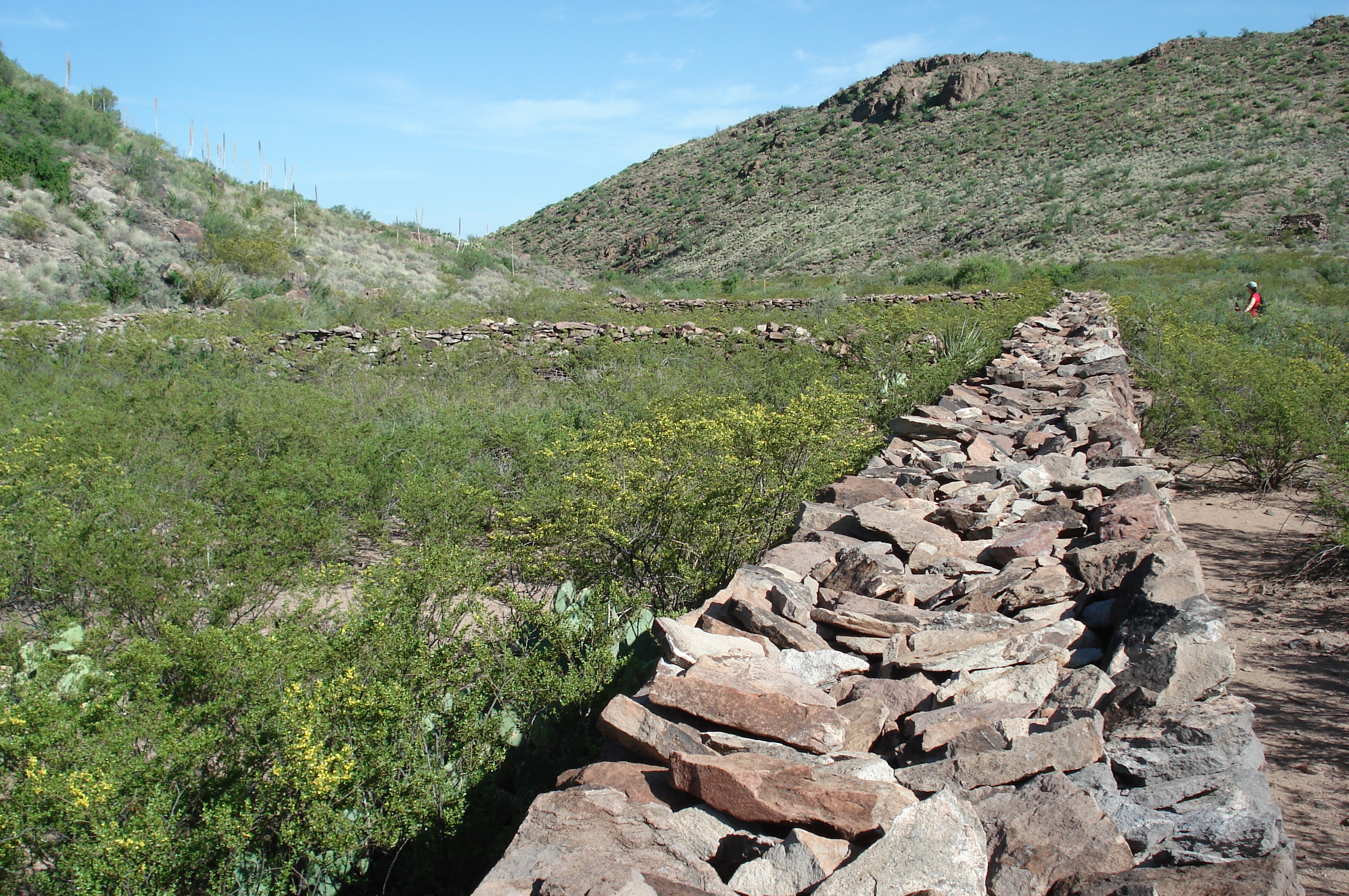
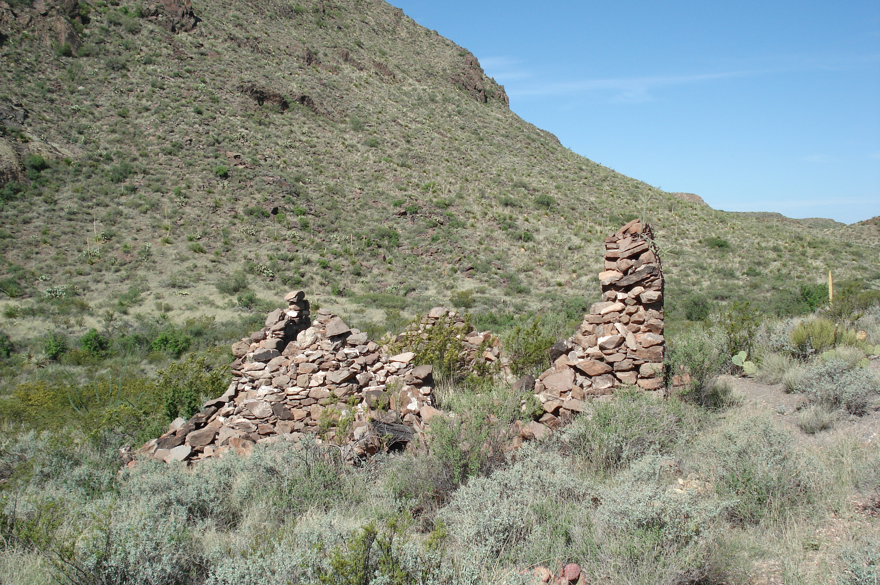
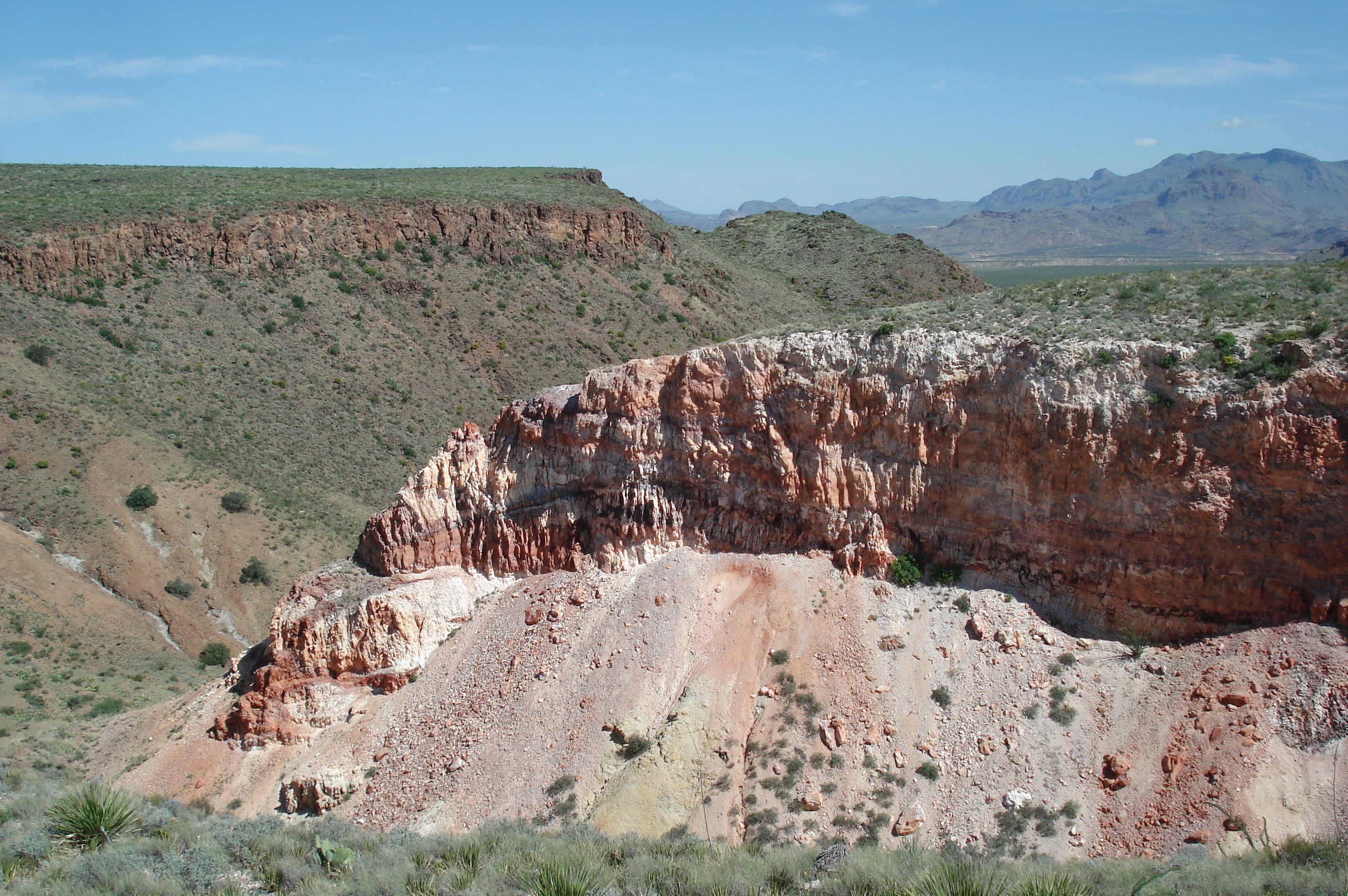
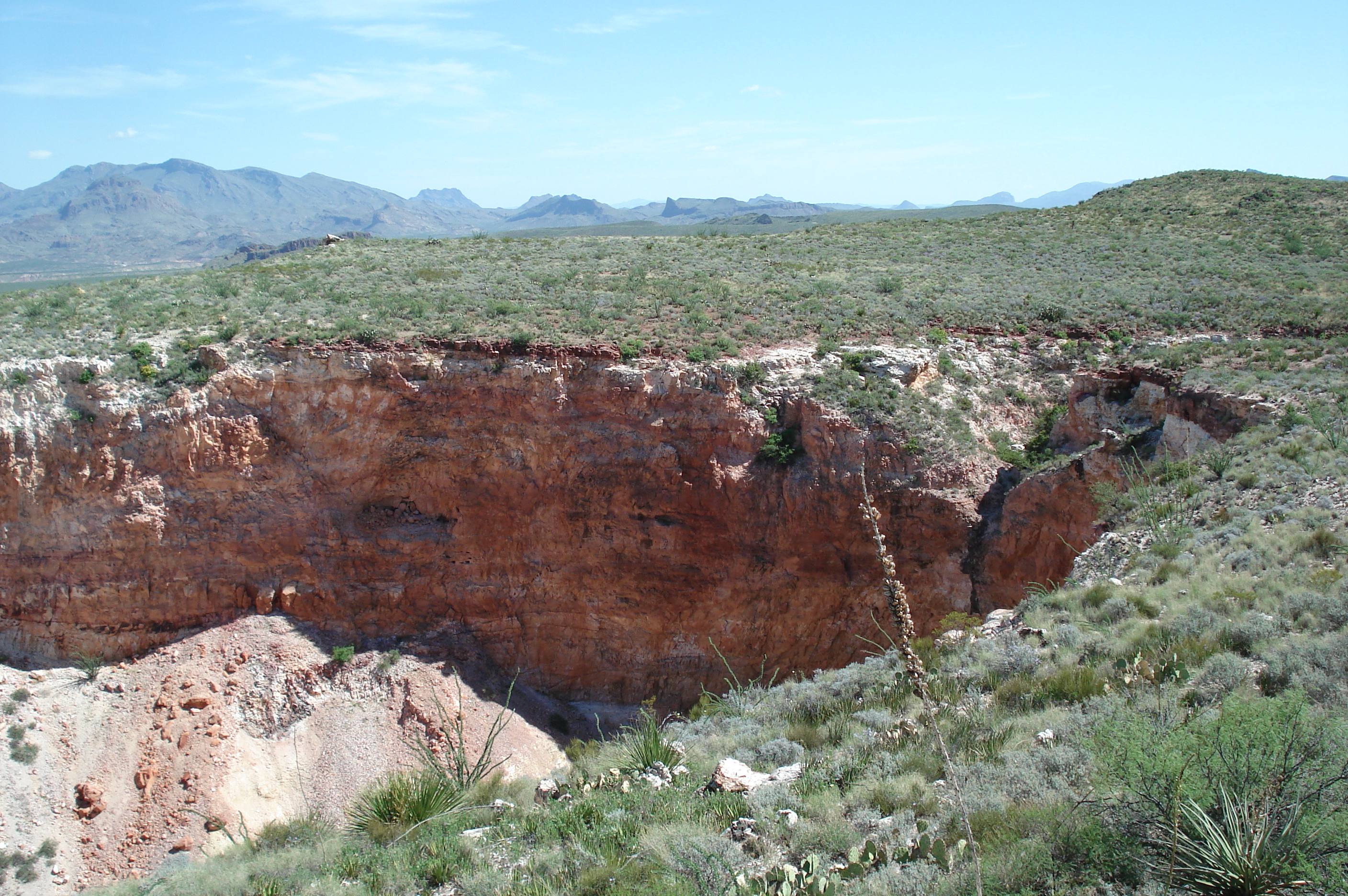
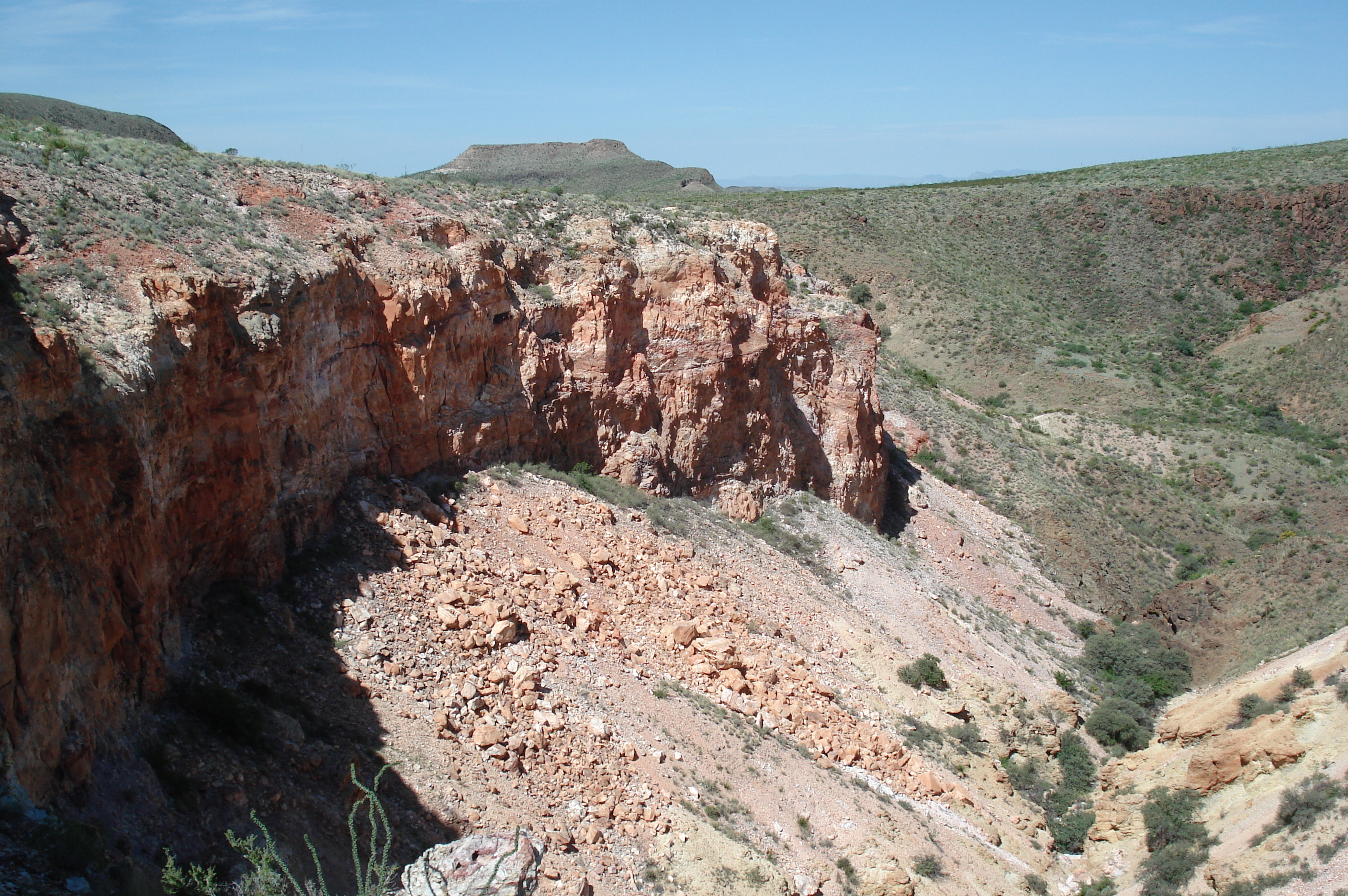
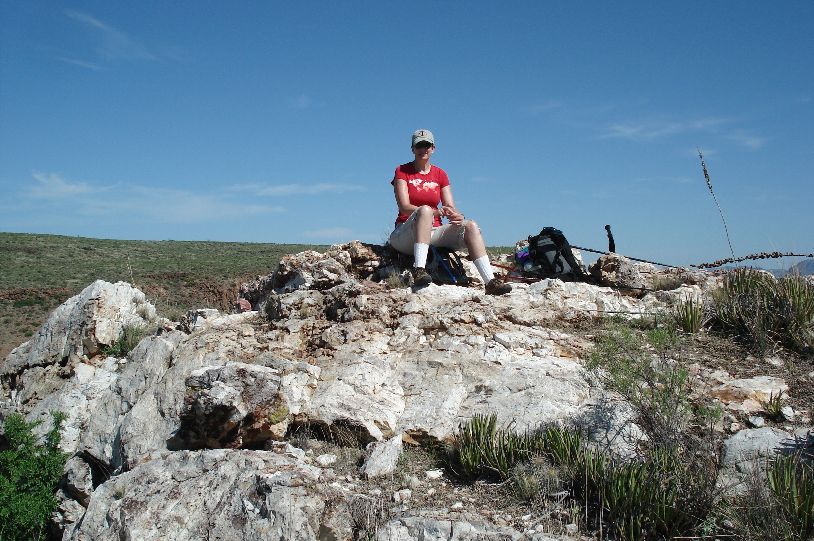
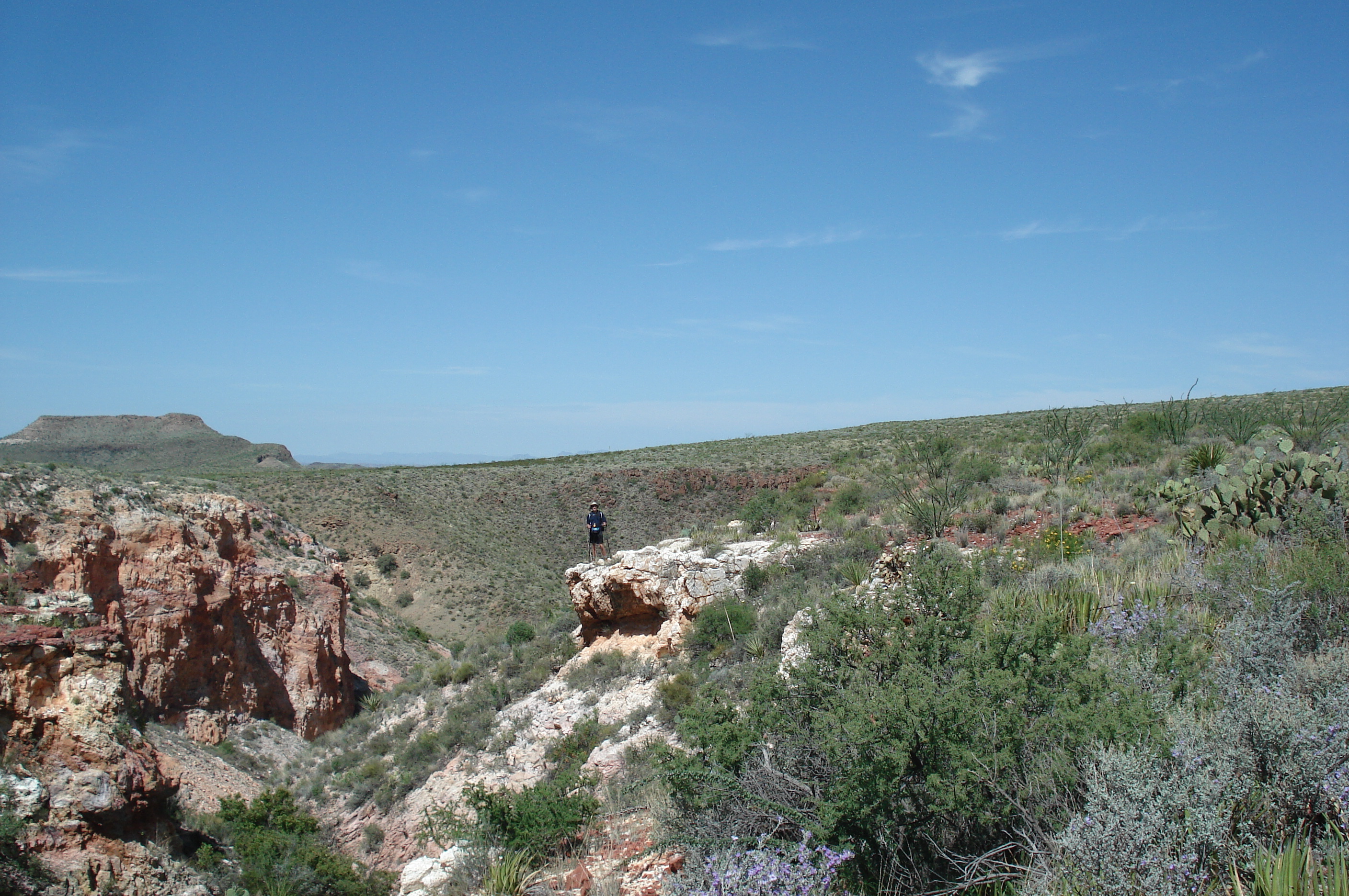
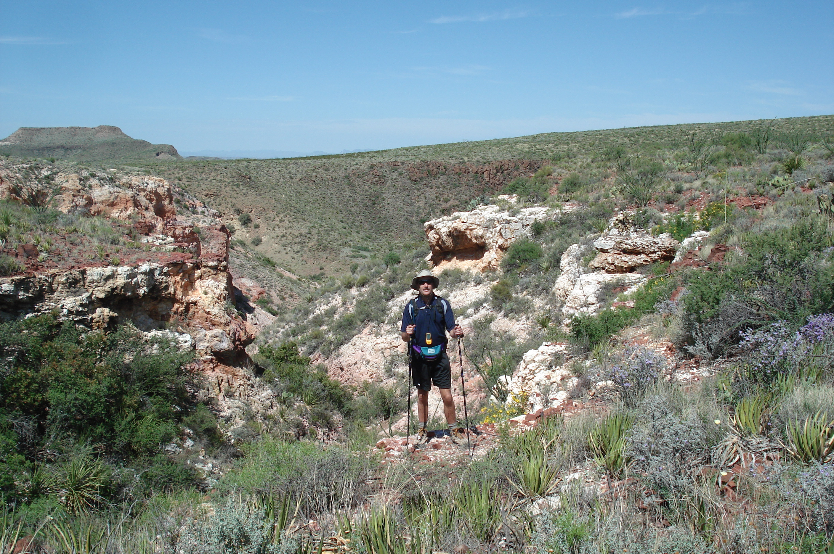
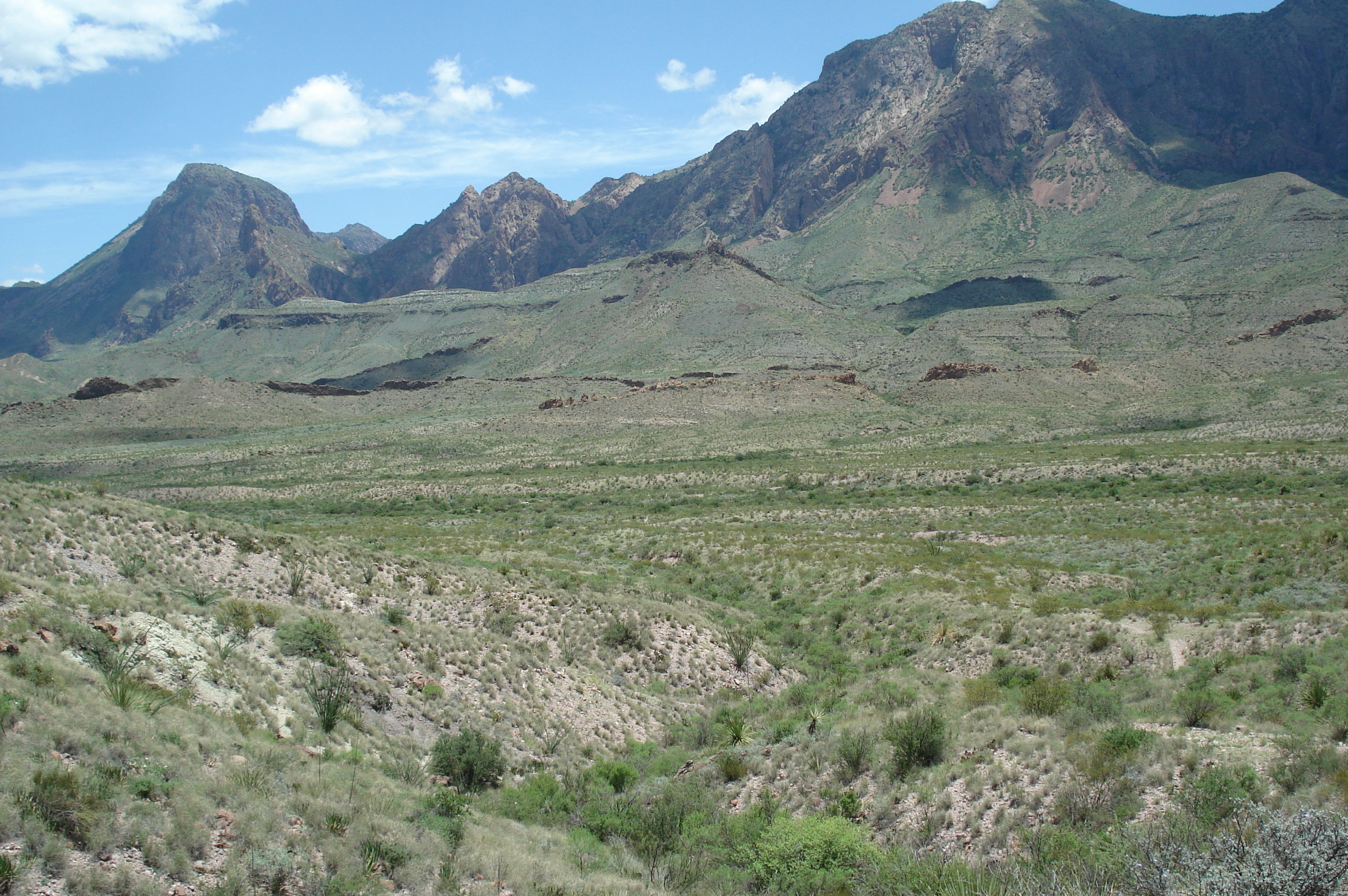
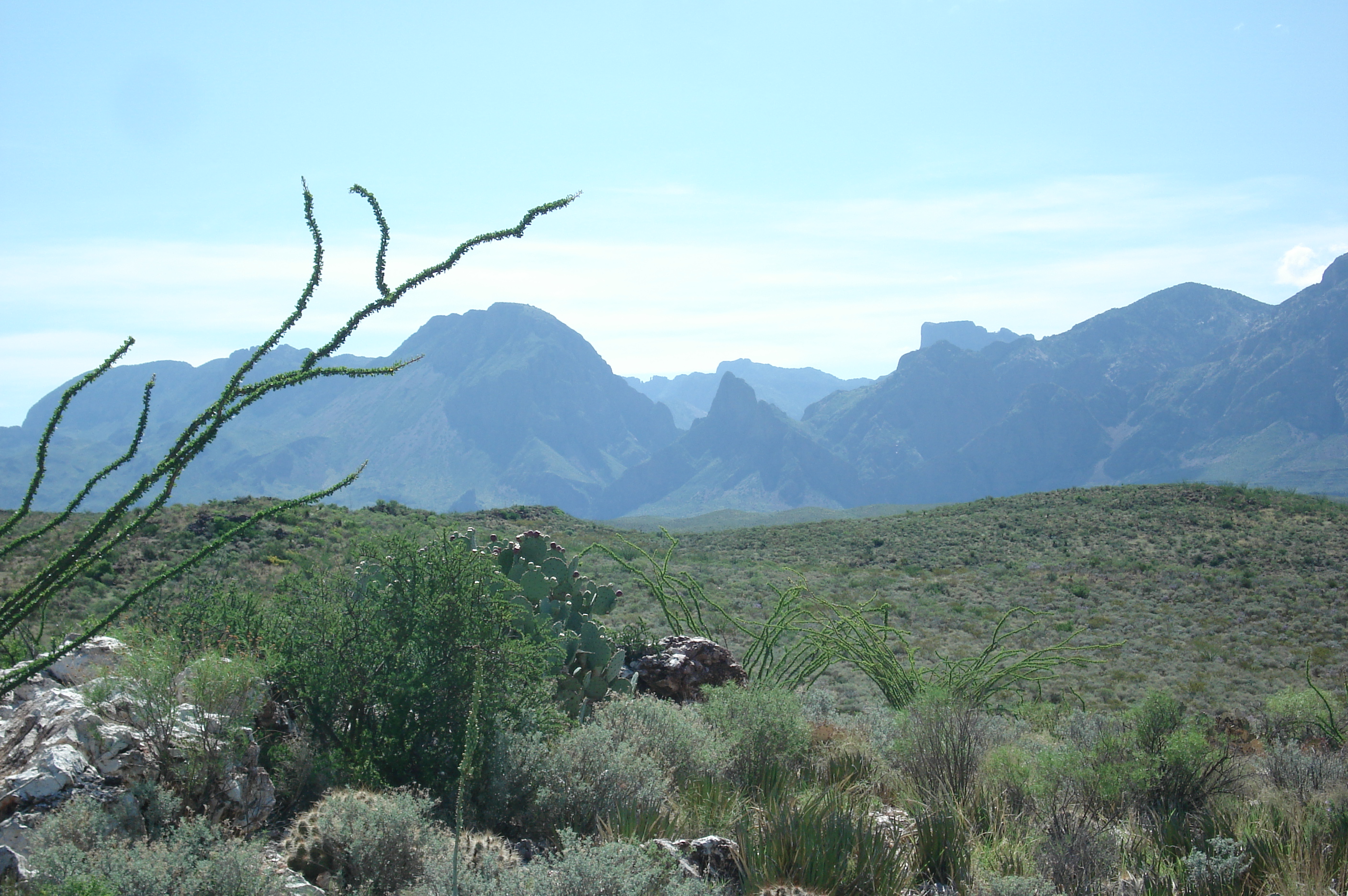
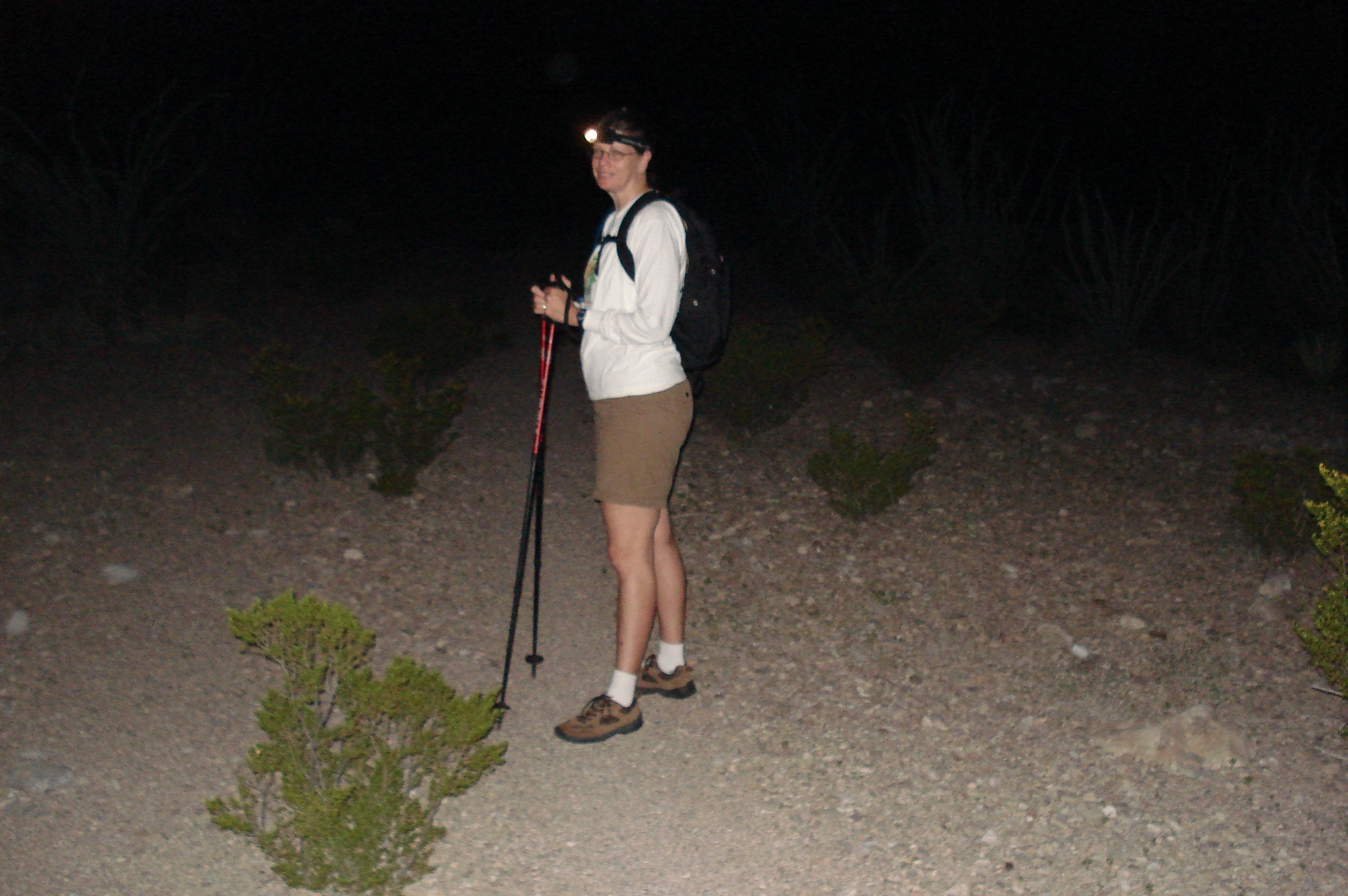
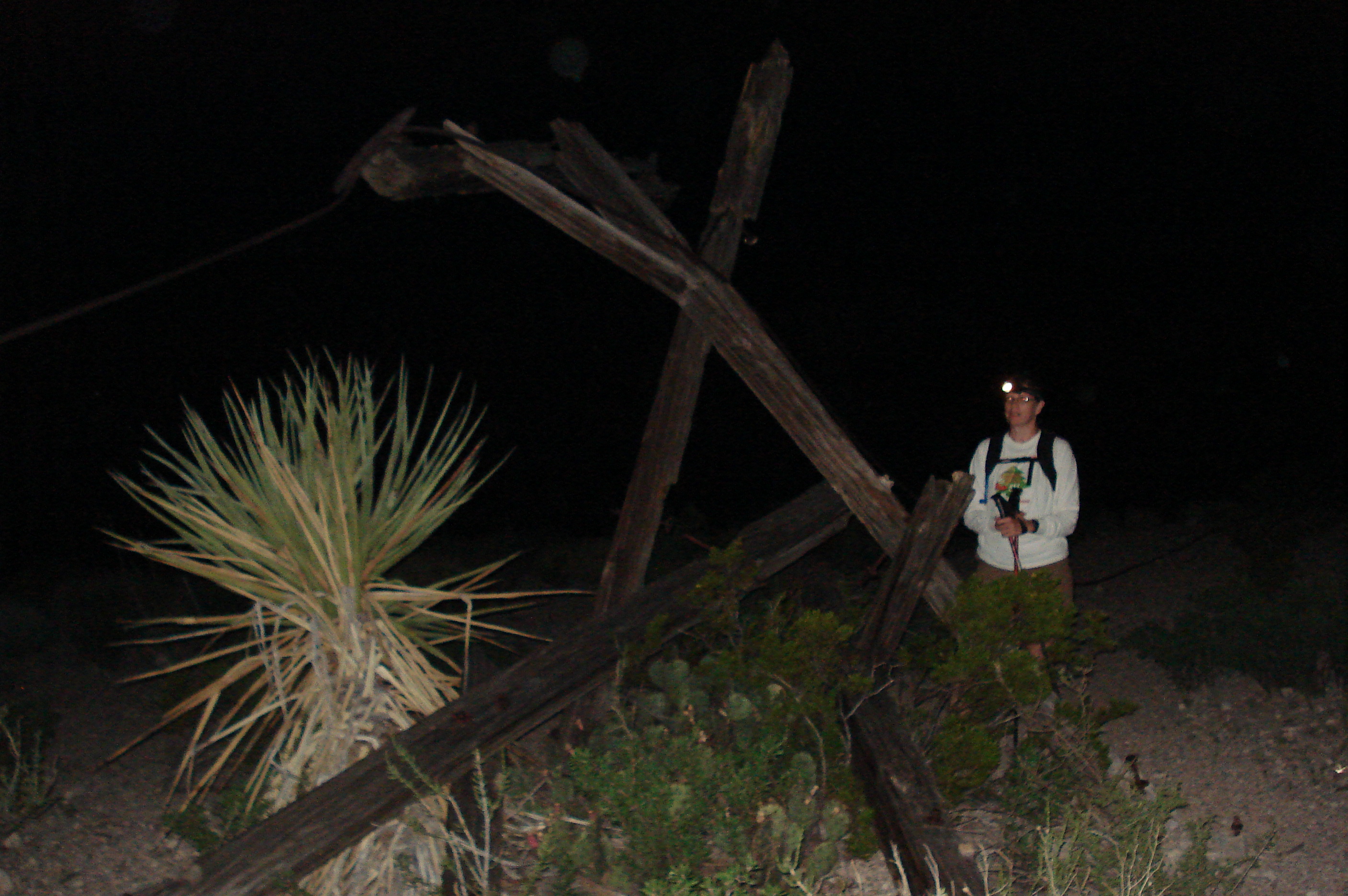
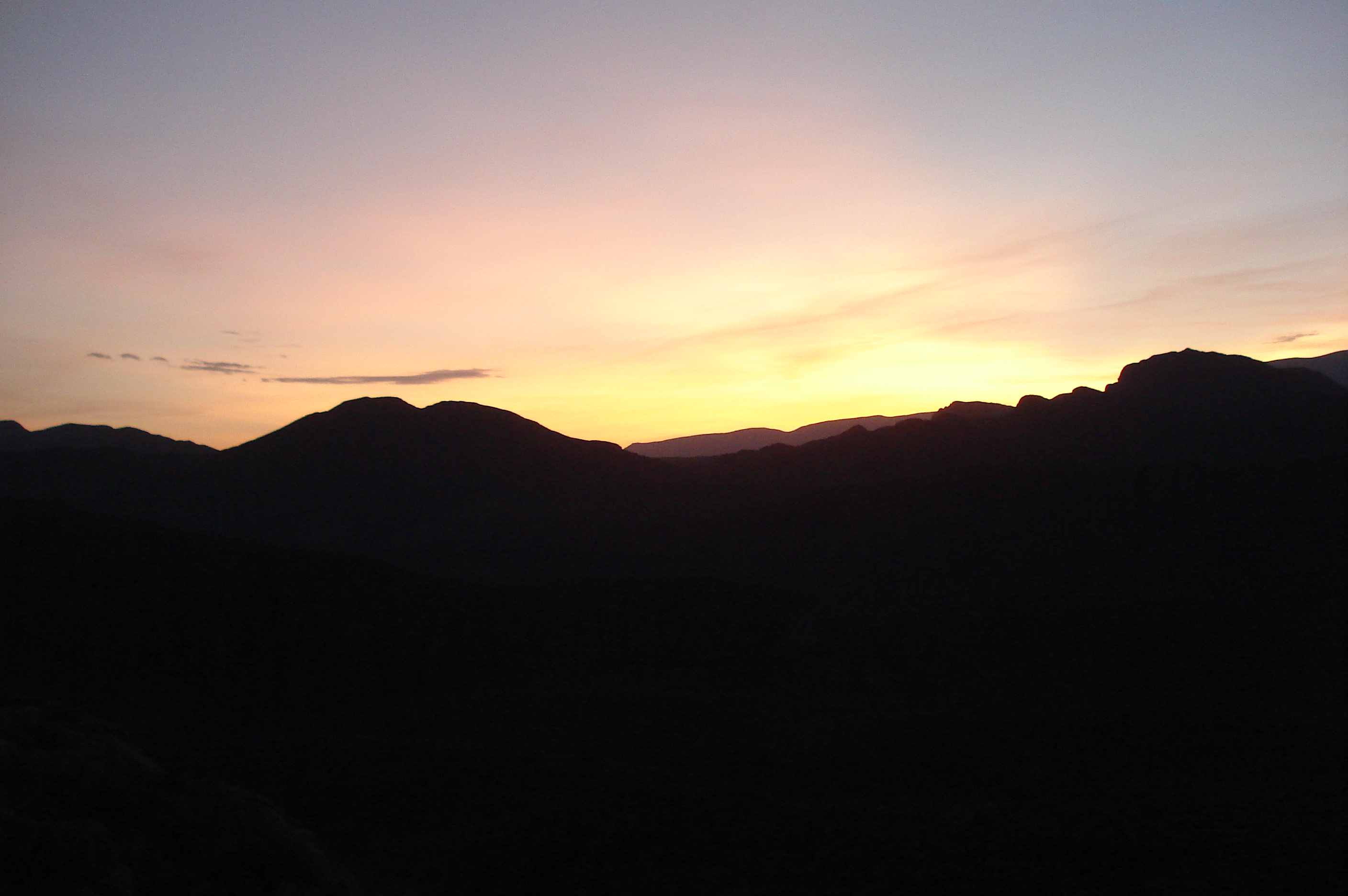
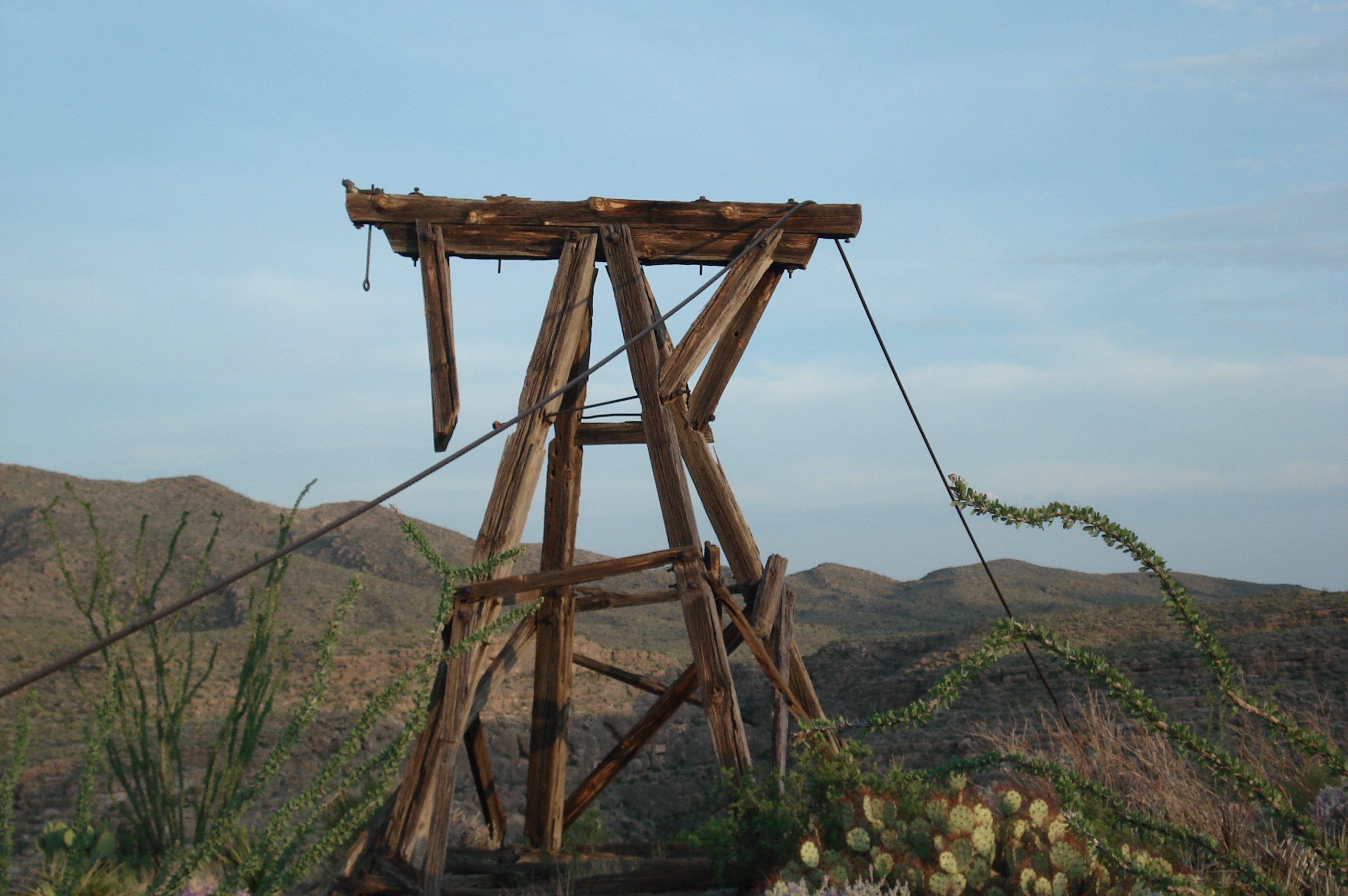
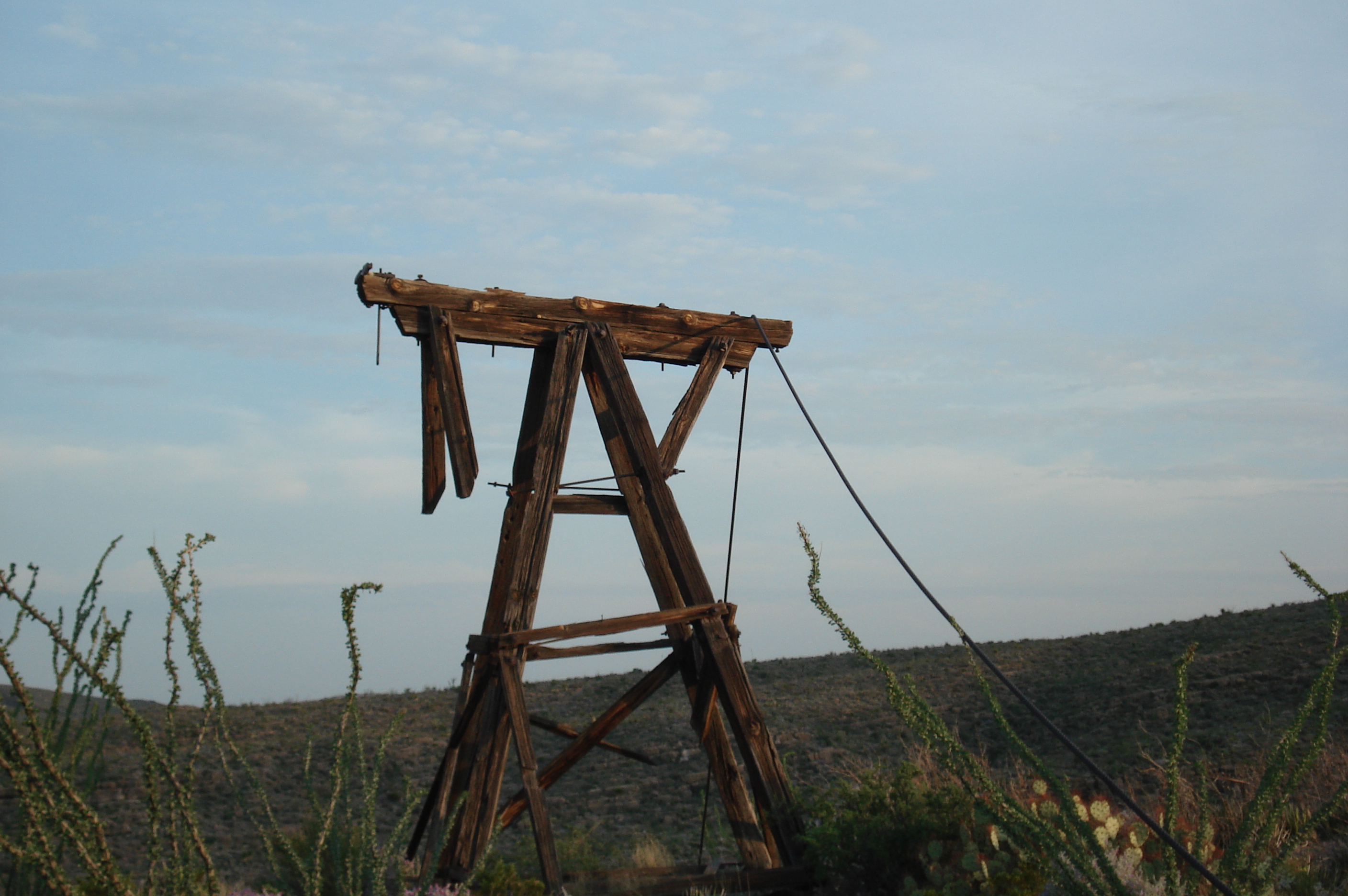
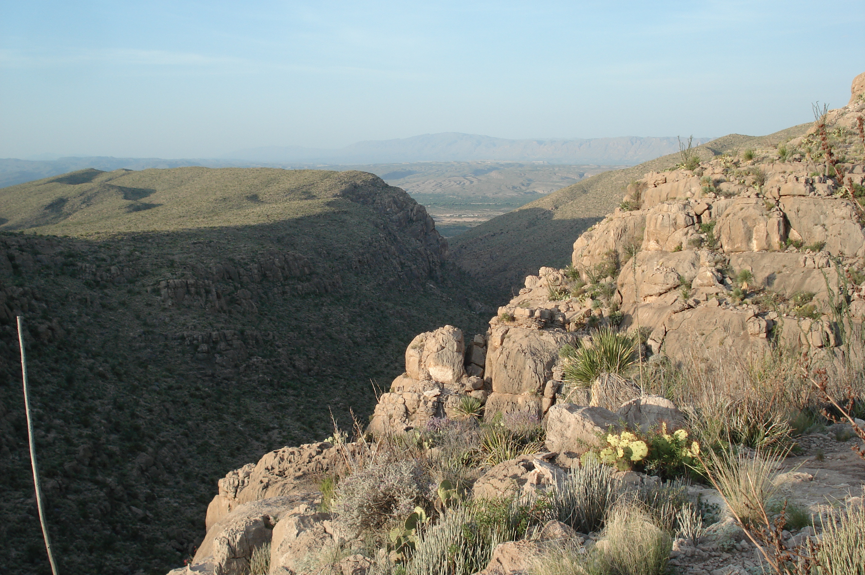
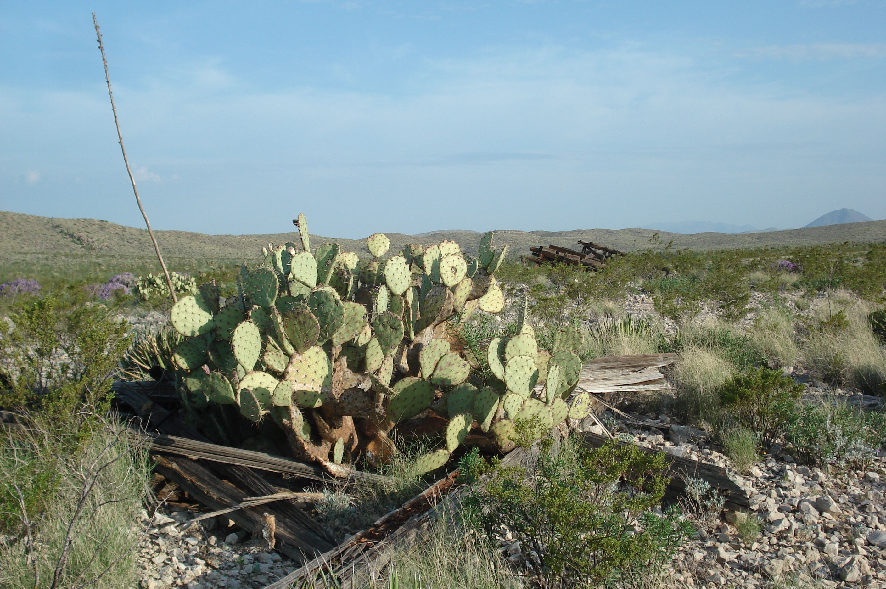
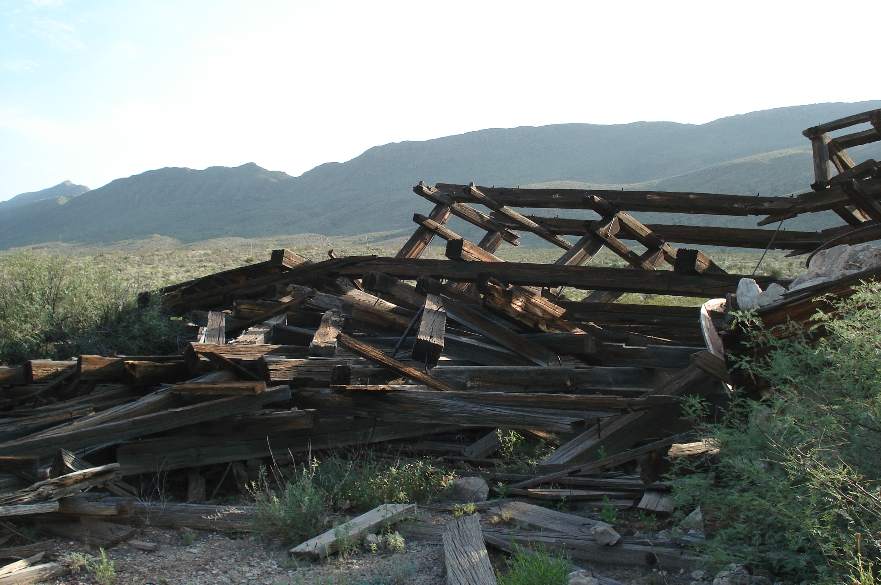
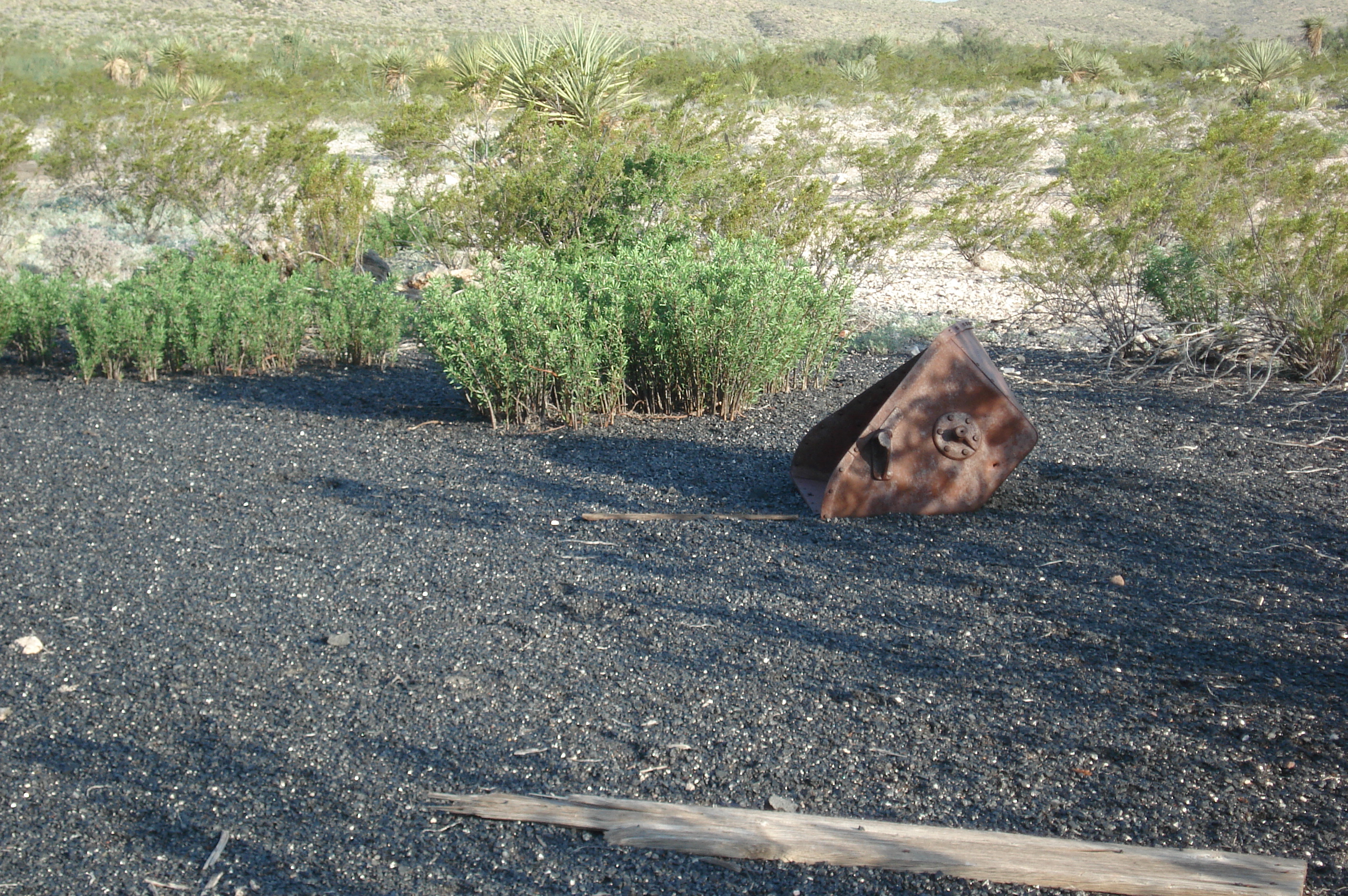
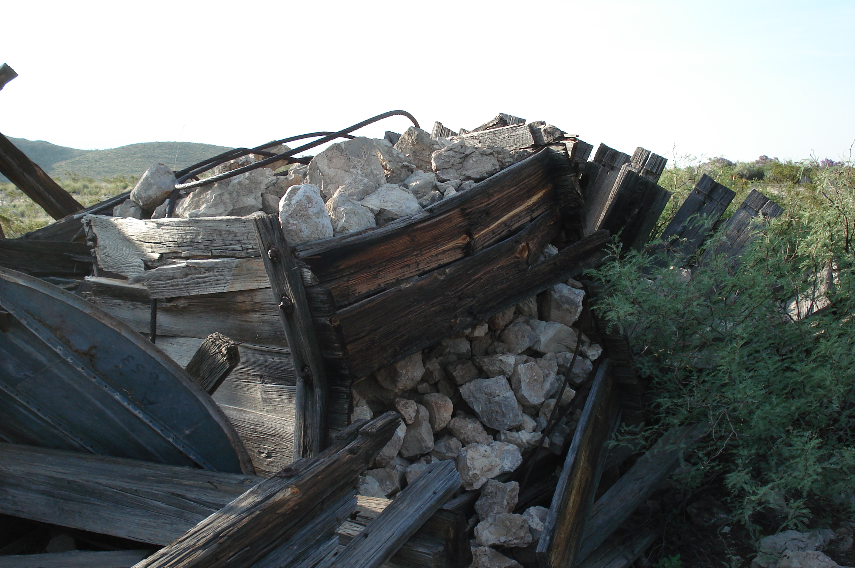
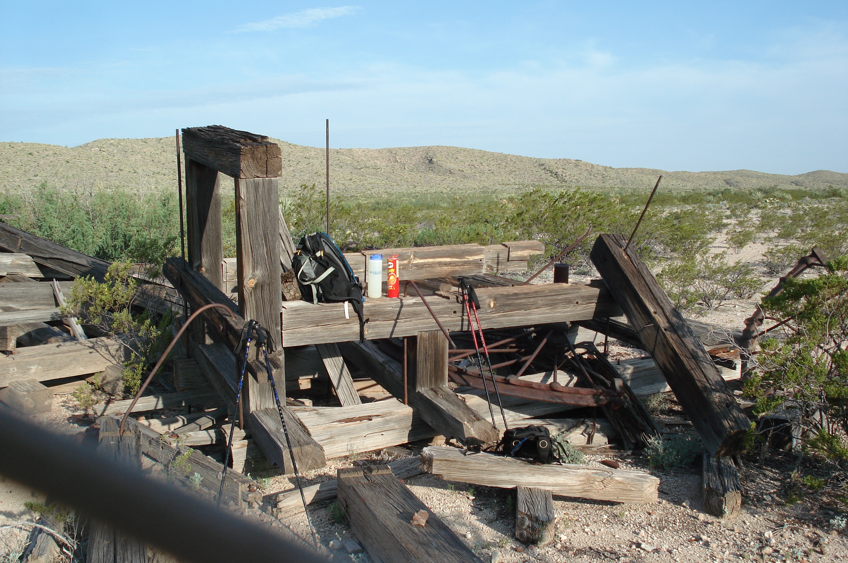
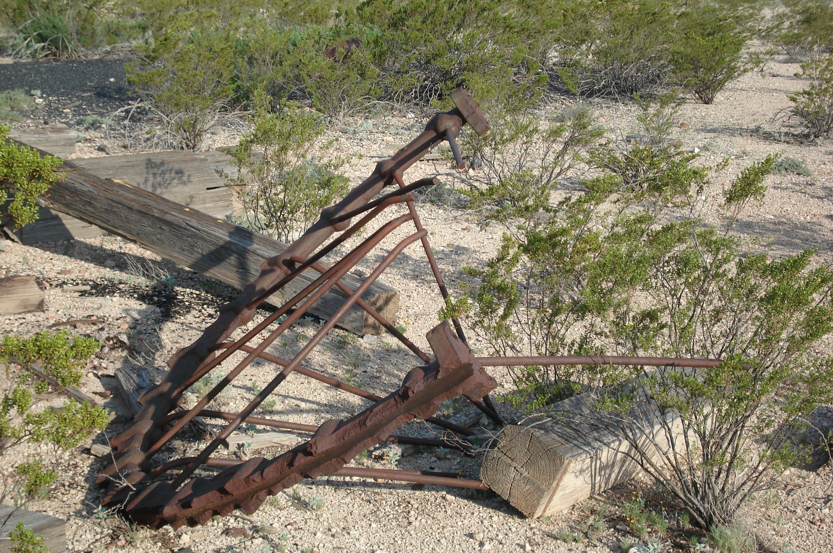
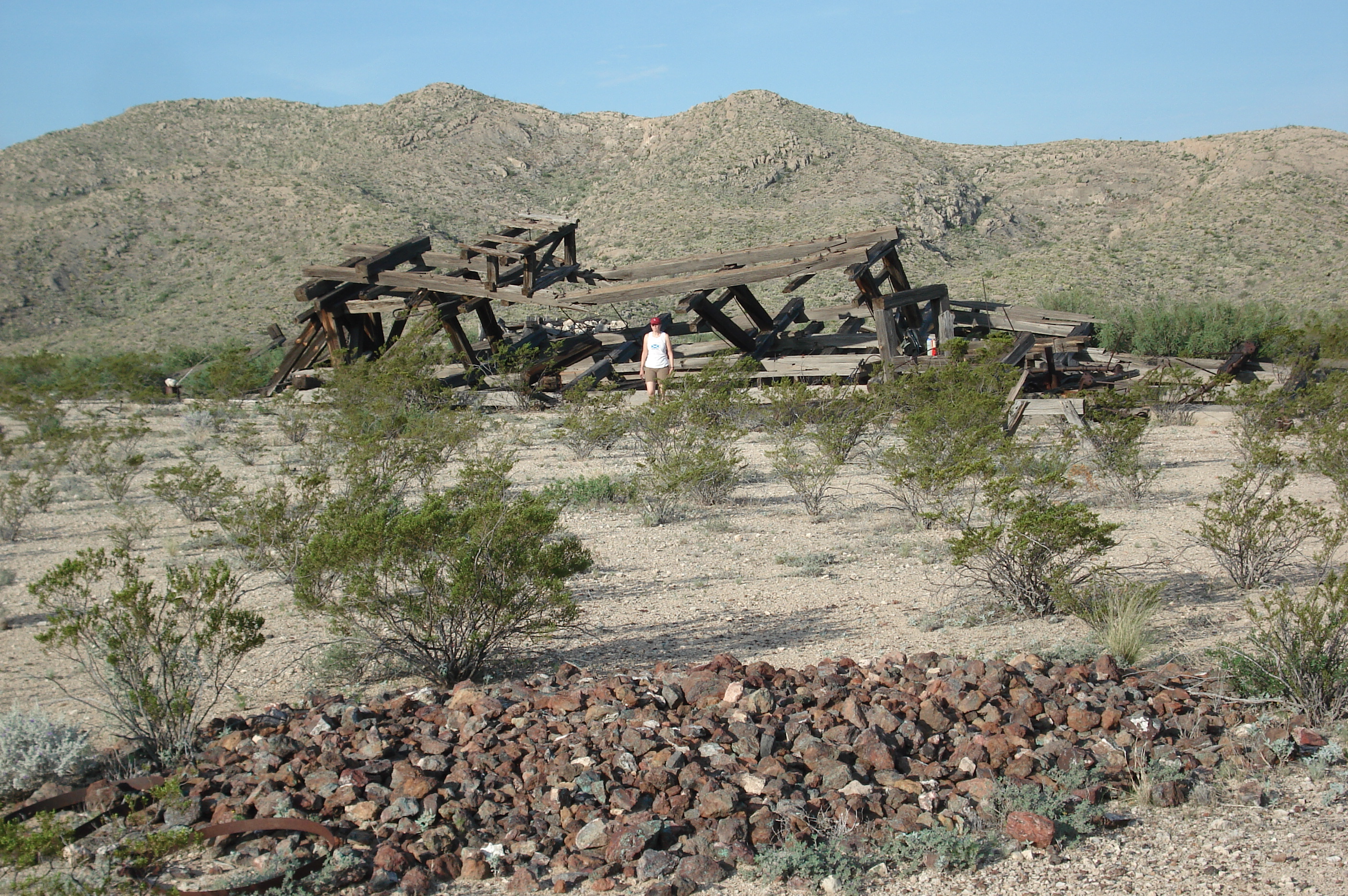
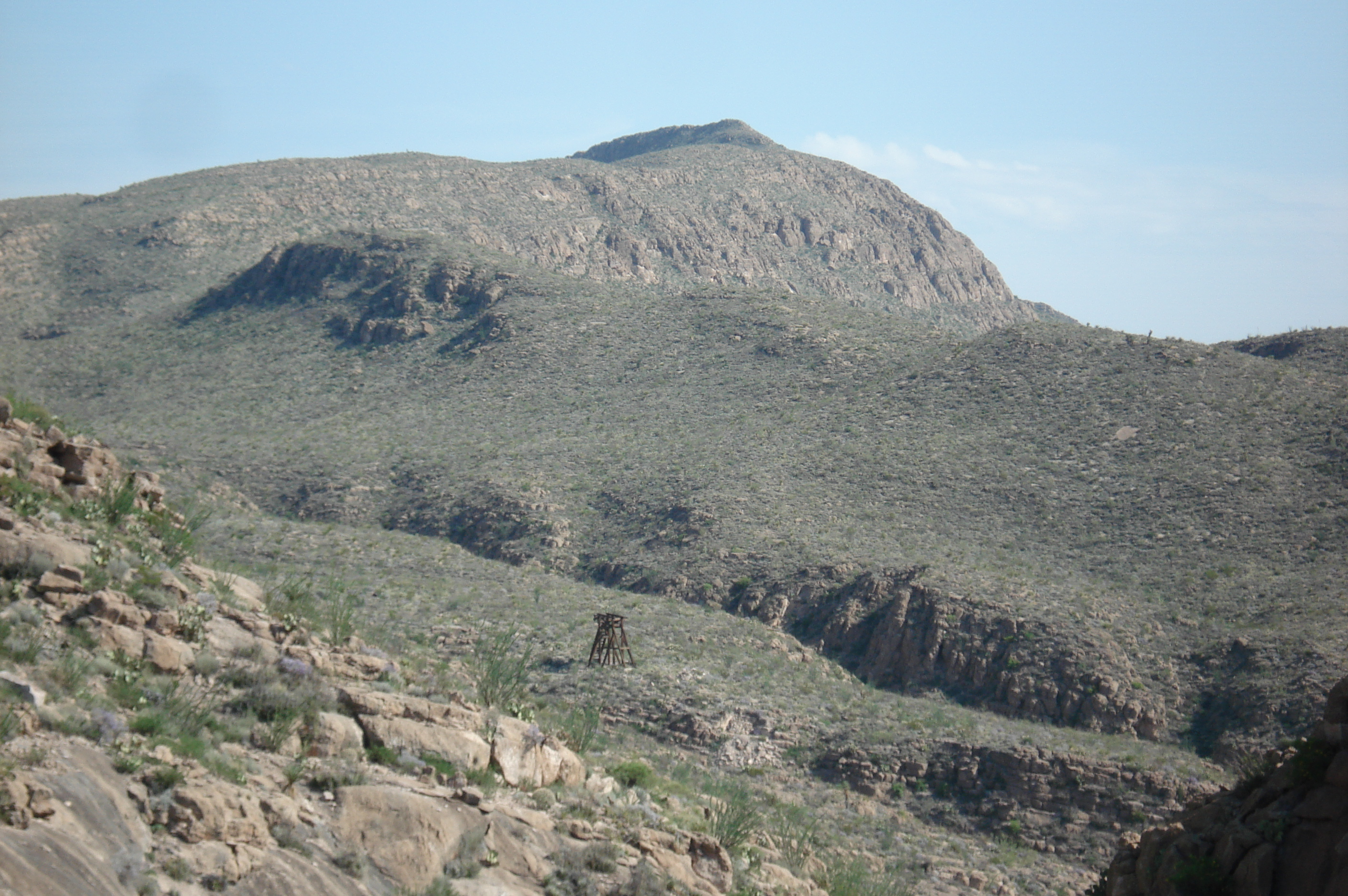
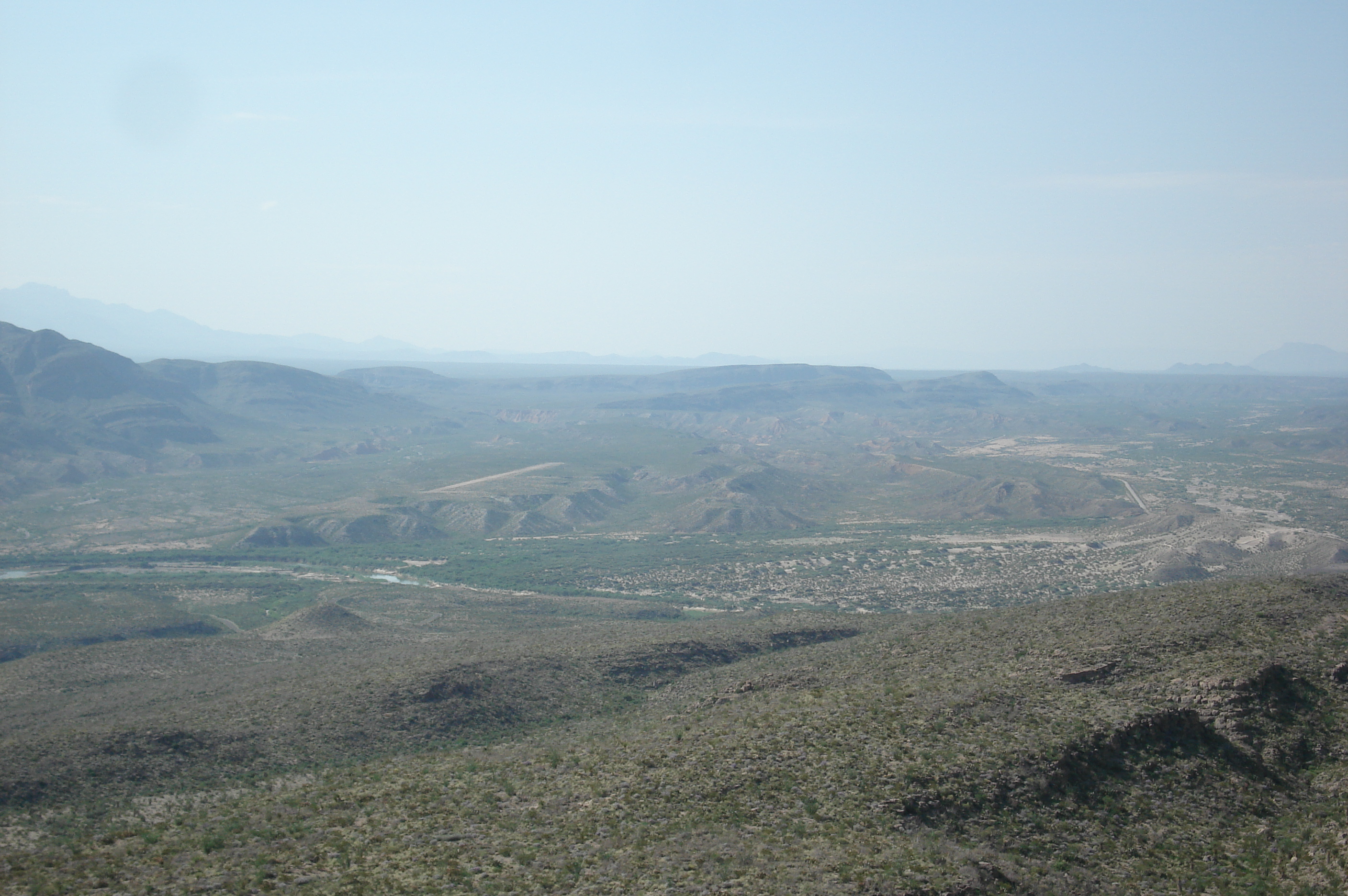
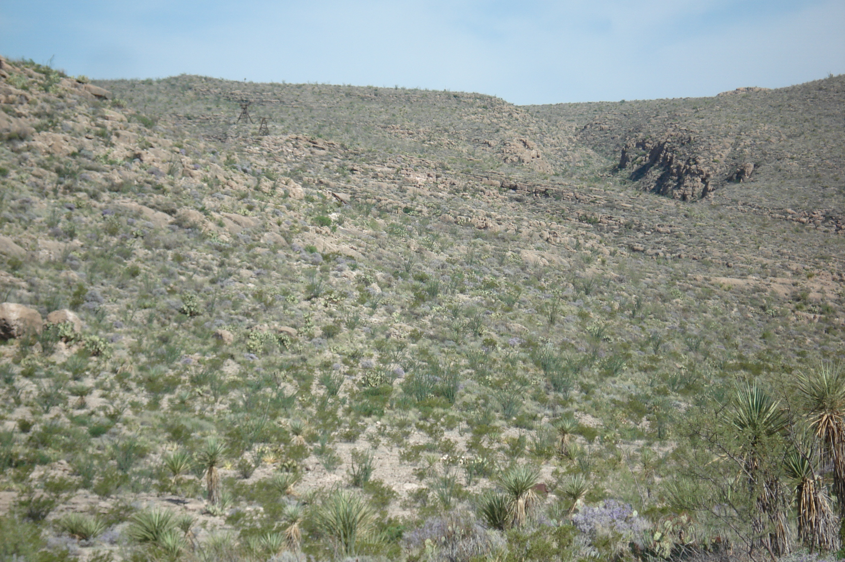
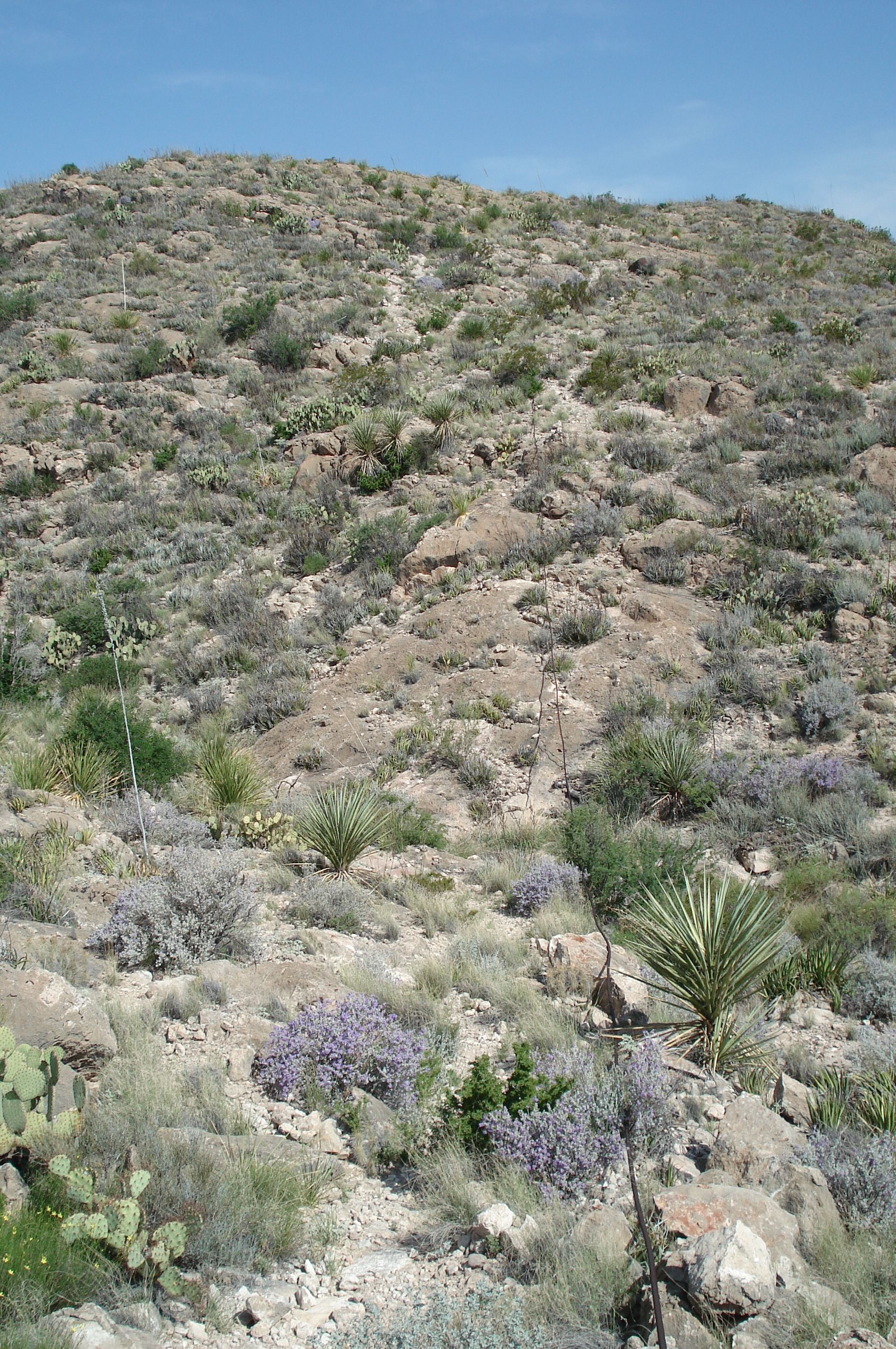
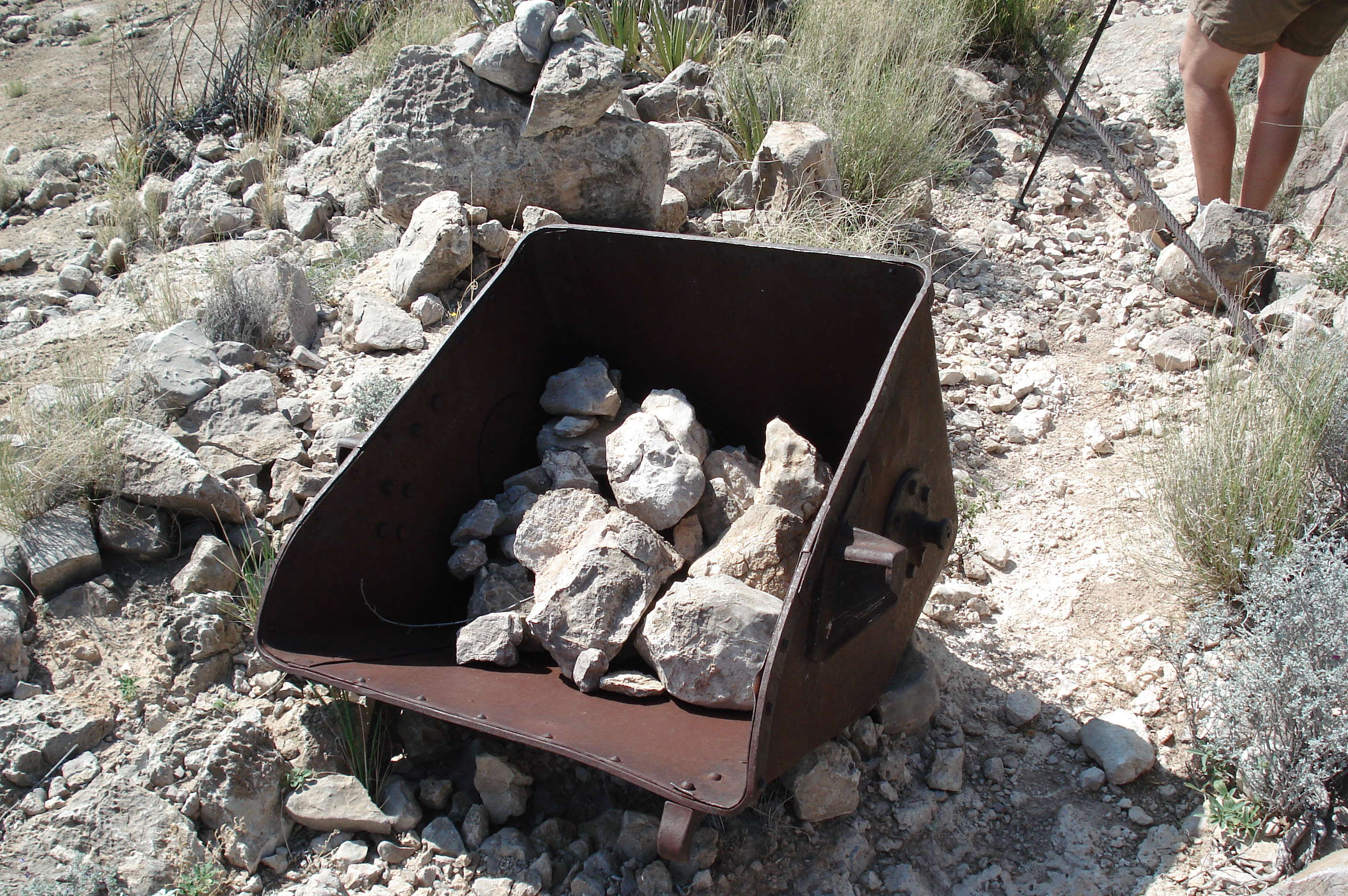
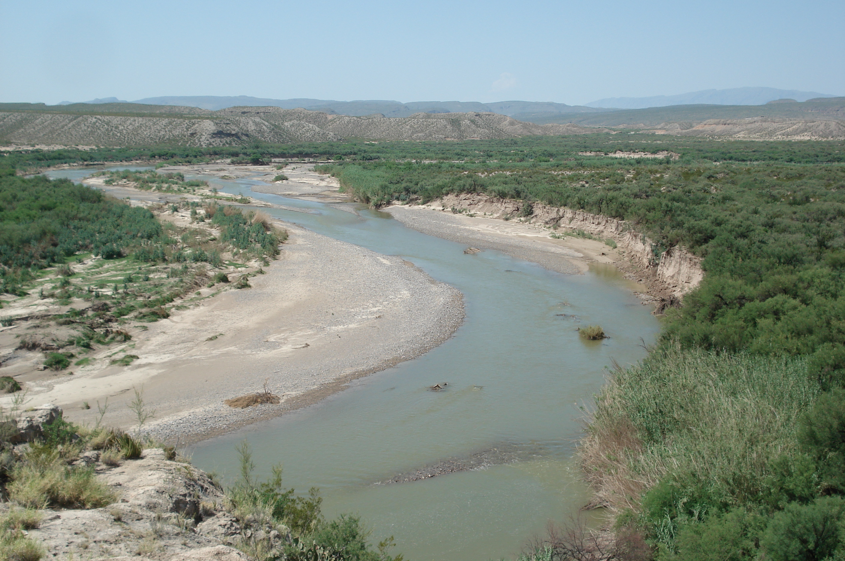
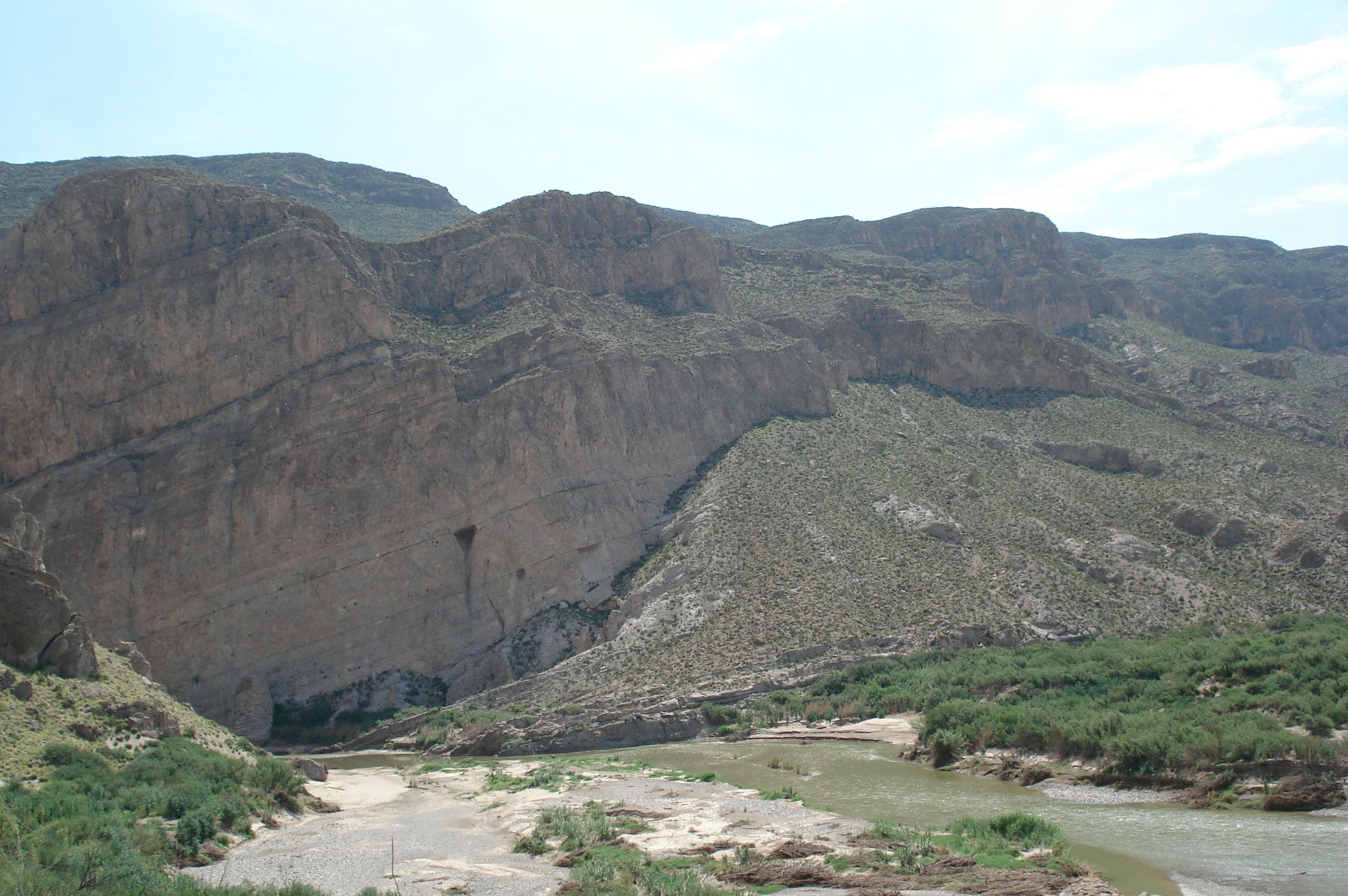
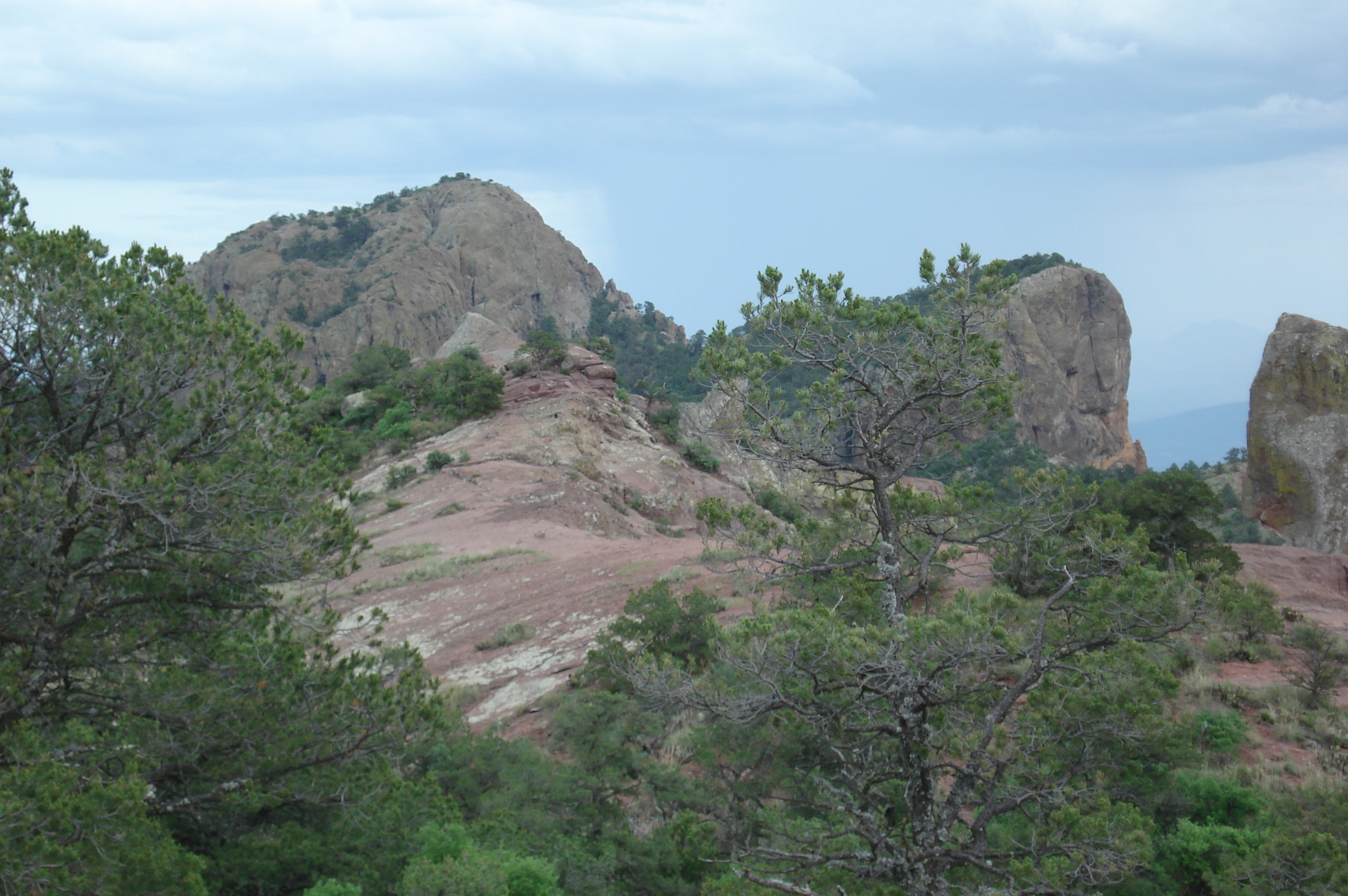
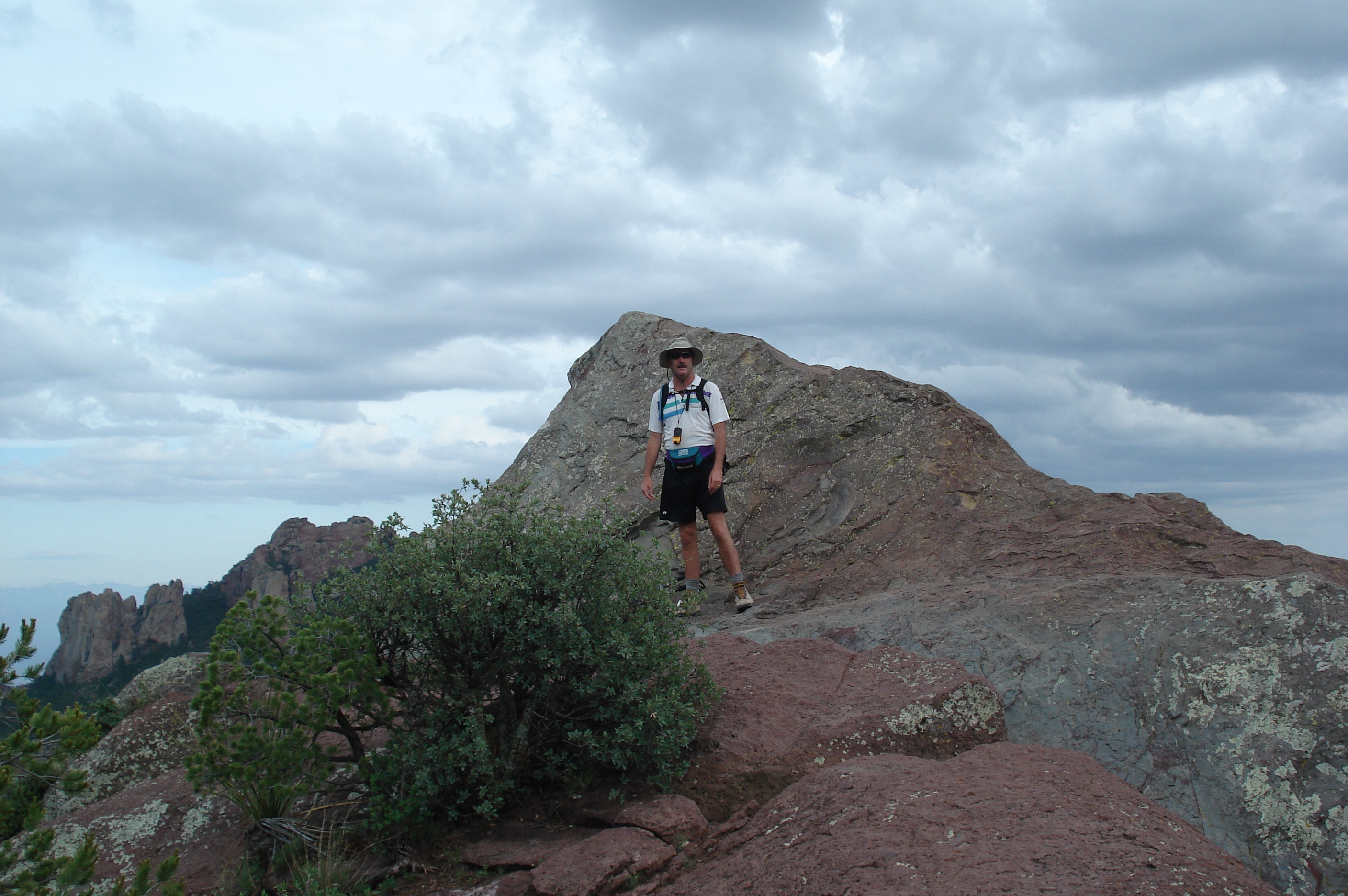
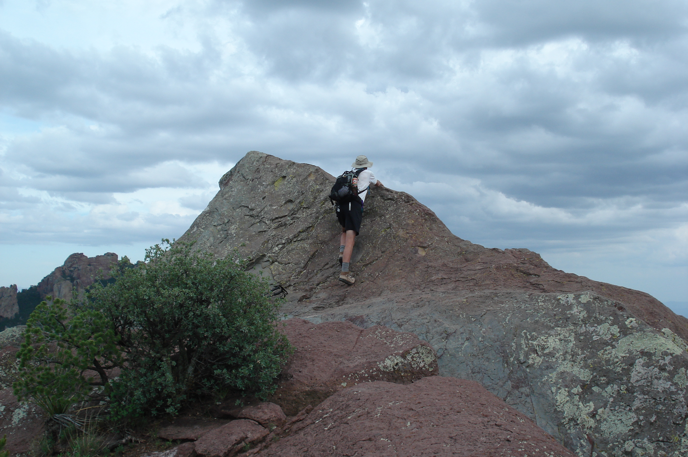
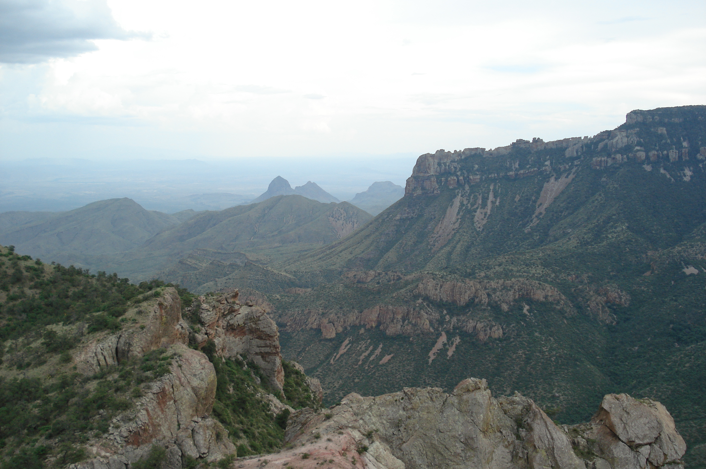
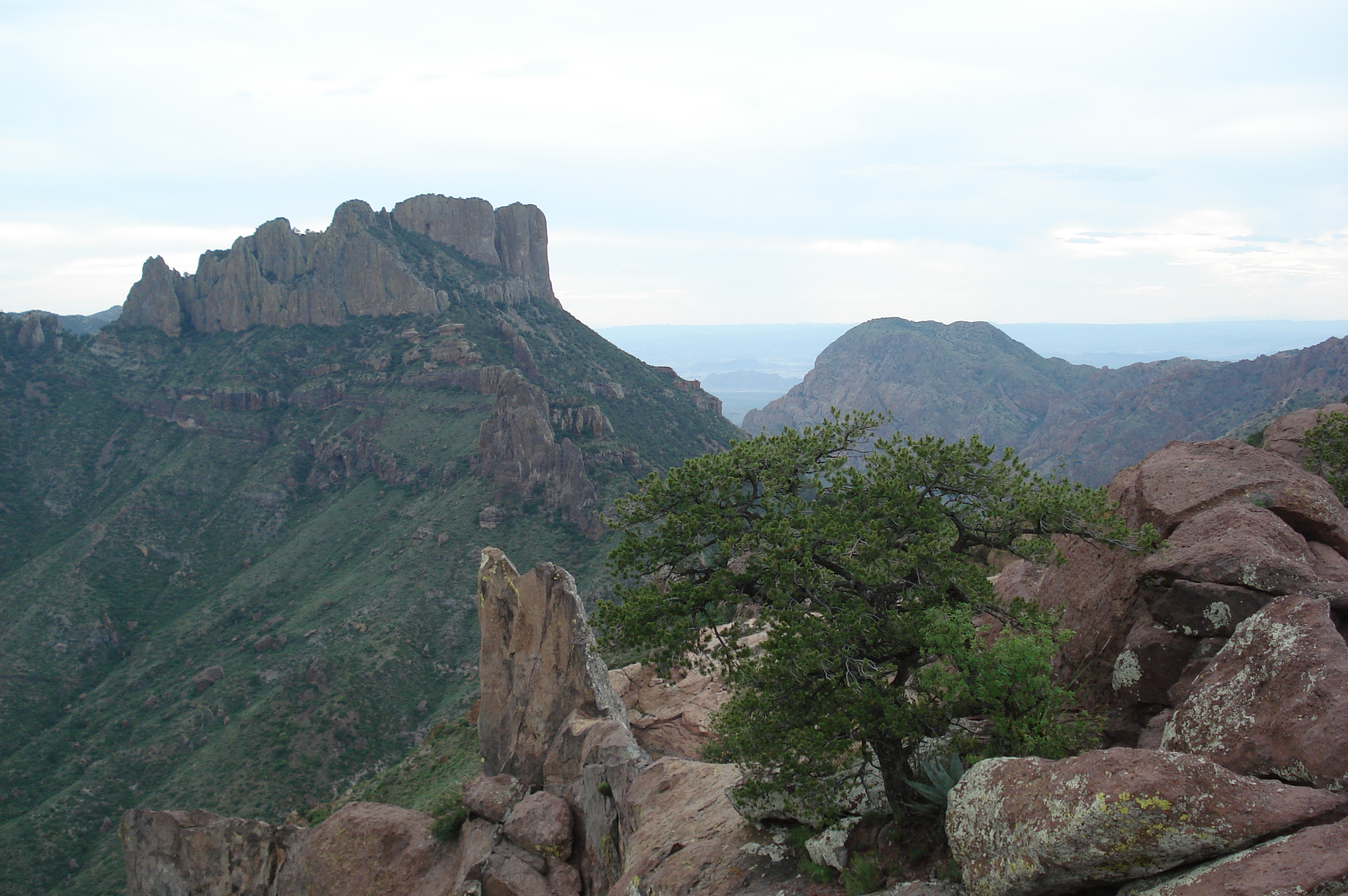
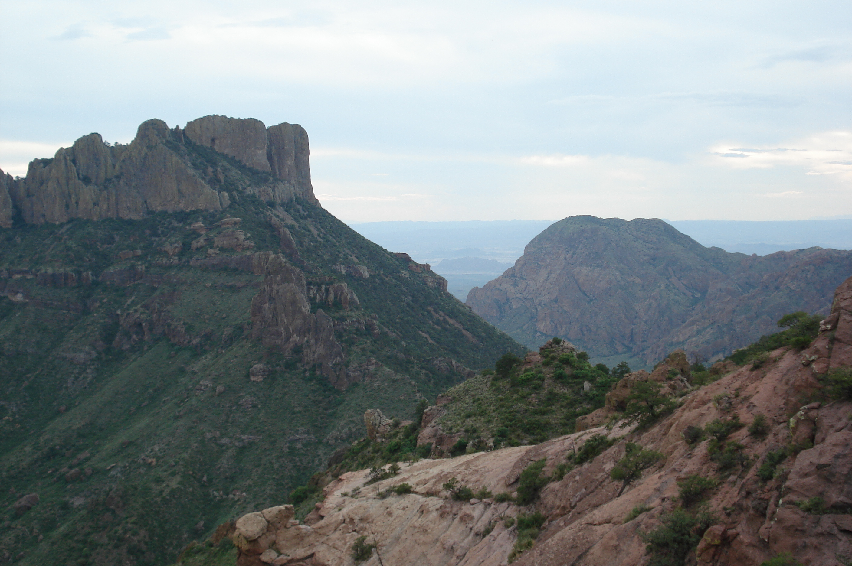
Here are a few photos from our trip to Big Bend National Park, Texas in July 2009 for the Fourth of July holiday. Click on one of the small images below to see it full size.

We tried hiking right to the base of the Window waterfall but this boulder stopped us The story of Cattail Falls On the trail to Cattail Falls First view of Cattail Falls
On the trail to Cattail Falls Cattail Falls Cattail Falls The creek below Cattail Falls
Legend says that Comanches tied this tree down as a marker The Apache Canyon trailhead is not marked and is hard to find: it's at N 29 15.604' / W 103 22.334' (notation is WGS 84) These metal posts mark the trailhead but you can't see them from the road On the trail to Apache Canyon
View of the corral south of Apache Canyon The corral south of Apache Canyon The ranch house south of Apache Canyon Apache Canyon
Apache Canyon Apache Canyon Lunch at Apache Canyon Apache Canyon
Apache Canyon The view South from Apache Canyon The view East to the Chisos Mountains from Apache Canyon At the Ore Terminal trailhead
The first collapsed tramway tower on the Ore Terminal trail Sunrise on the Ore Terminal trail Sunrise on the Ore Terminal trail Some towers are still standing, most have collapsed
This tower still stands on the edge of a canyon This tower still stands on the edge of a canyon Rio Grande village far in the distance The first view of the collapsed Ore Terminal
The remains of the final tower in the six-mile tramway leading to the Ore Terminal The tramway and Ore Terminal were in use from 1909 to 1919 The Ore Terminal Still some ore scattered around and a bucket if anyone wants one
Maybe this was the last bucket hauled to the terminal? The Ore Terminal Half of a massive wheel under the remains of its supports The rest of the wheel
The Ore Terminal One intact tower visible from the trail Boquillas, Mexico on the far side of the Rio Grande Two intact towers (just) visible from the trail
Miles of steel cable are still marking the tramway route Ore buckets are everywhere along the trail In 2008 the Rio Grande flooded and rose 25 feet The Rio Grande entering Boquillas Canyon
The summit ridge on the Lost Mine trail Janice taking a nap Charlie on the Lost Mine trail Looking for a quick way down
The East rim of the Chisos Mountains from the Lost Mine trail Boot Canyon from the Lost Mine trail Casa Grande and the Window from the Lost Mine trail Casa Grande and the Window from the Lost Mine trail

Charlie and Janice's home page

Last updated: 12/15/12 09:30 PM by Charlie Ashton