Charlie and Janice's home page

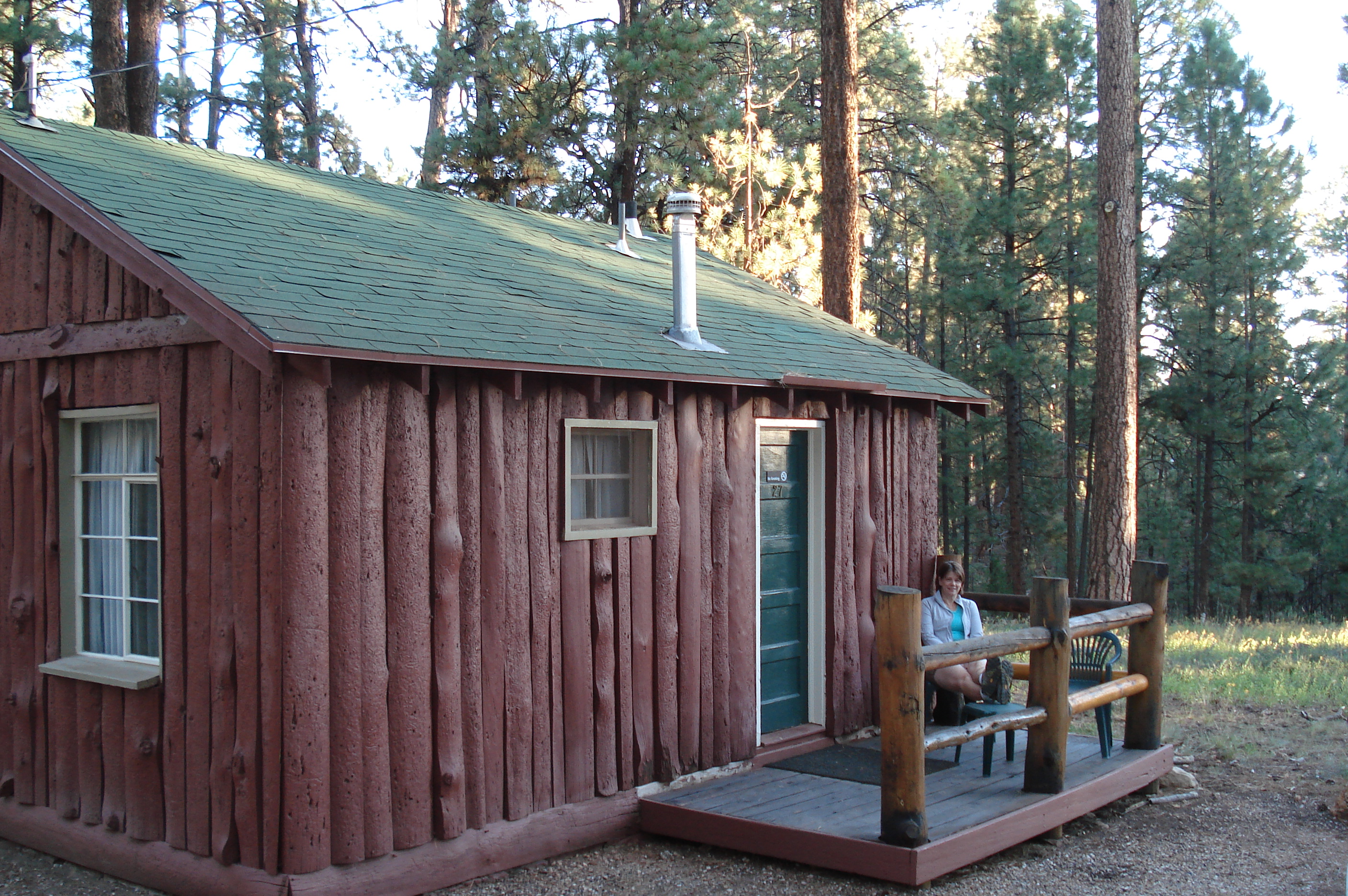
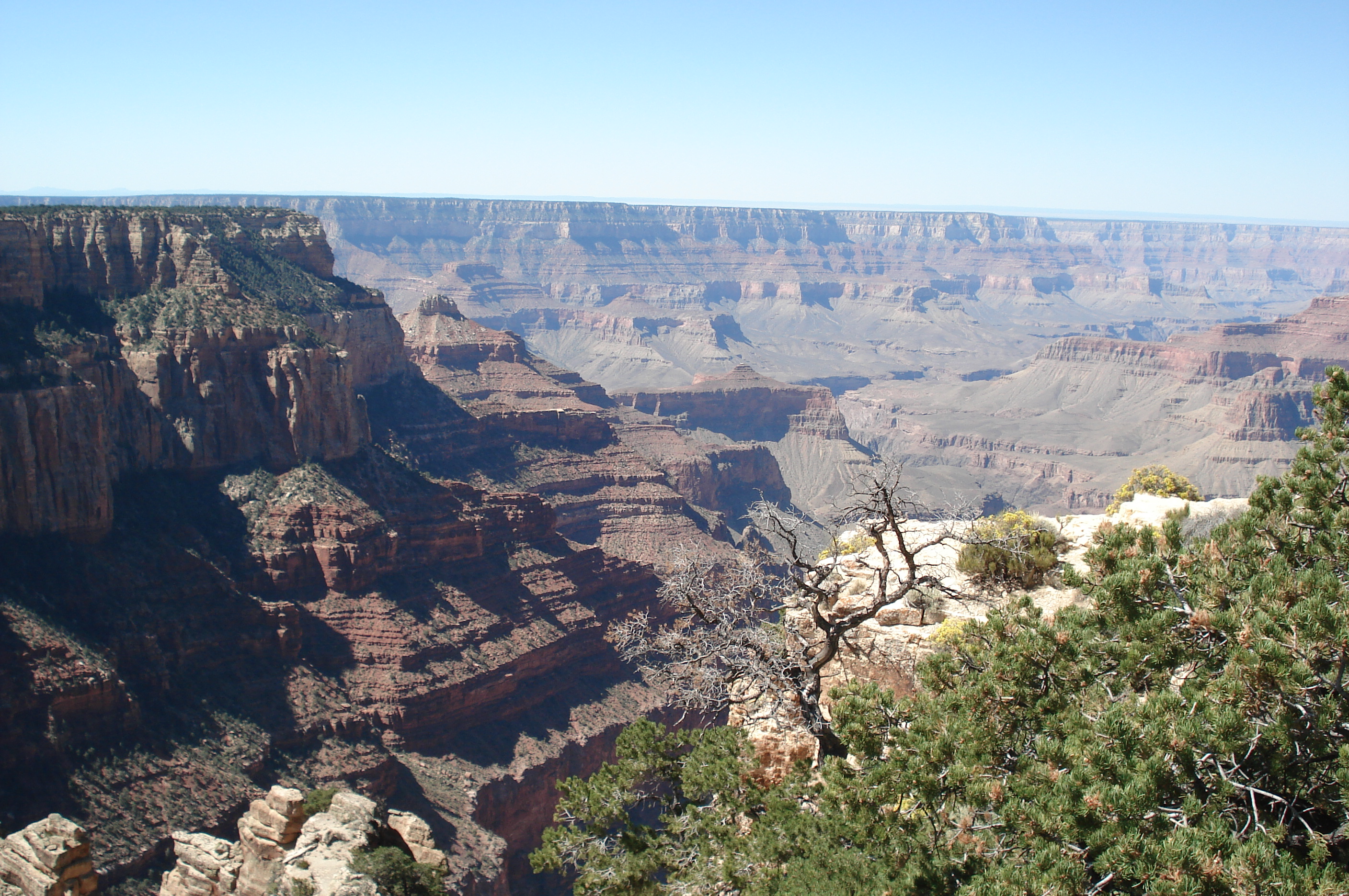
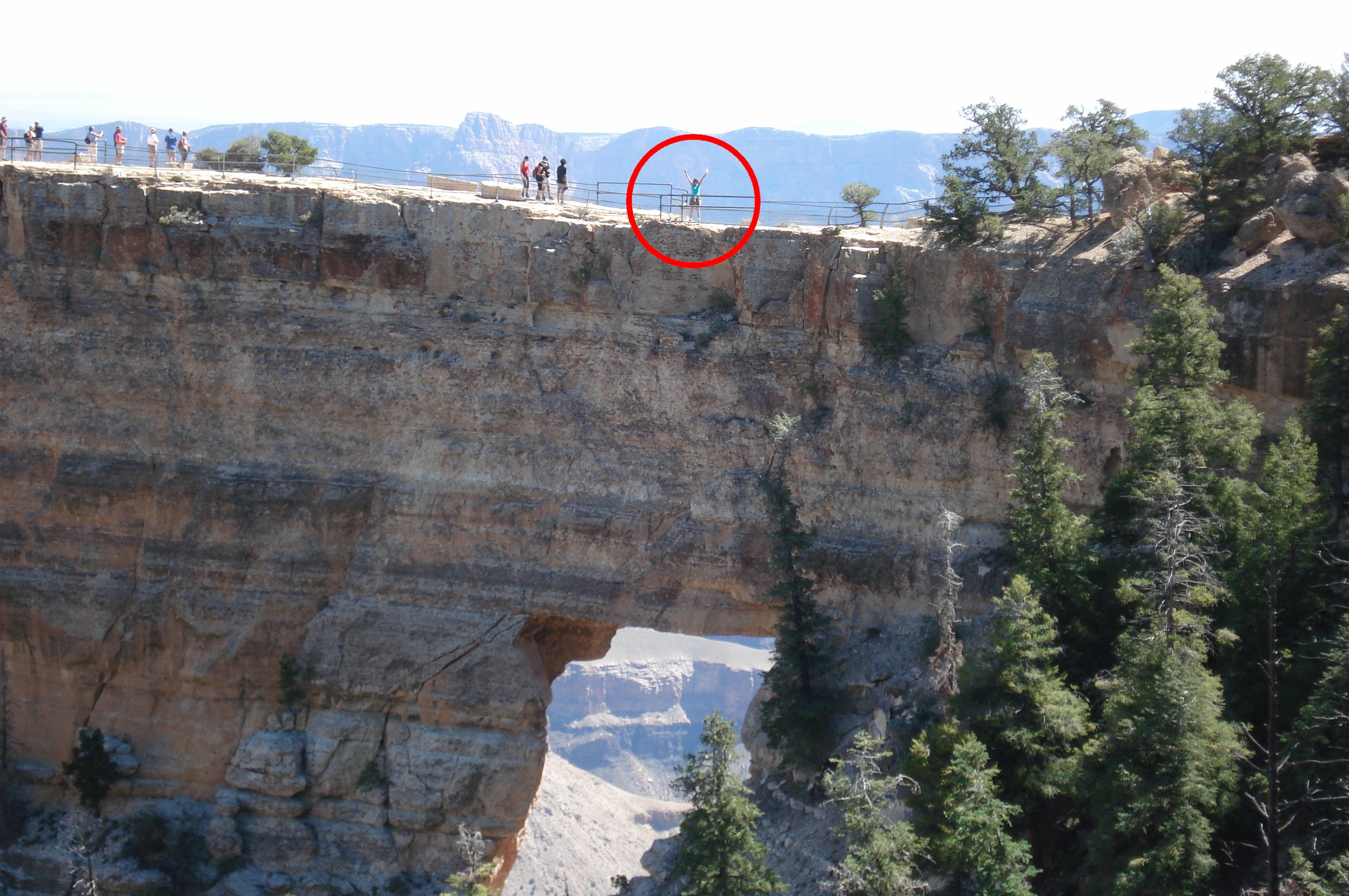
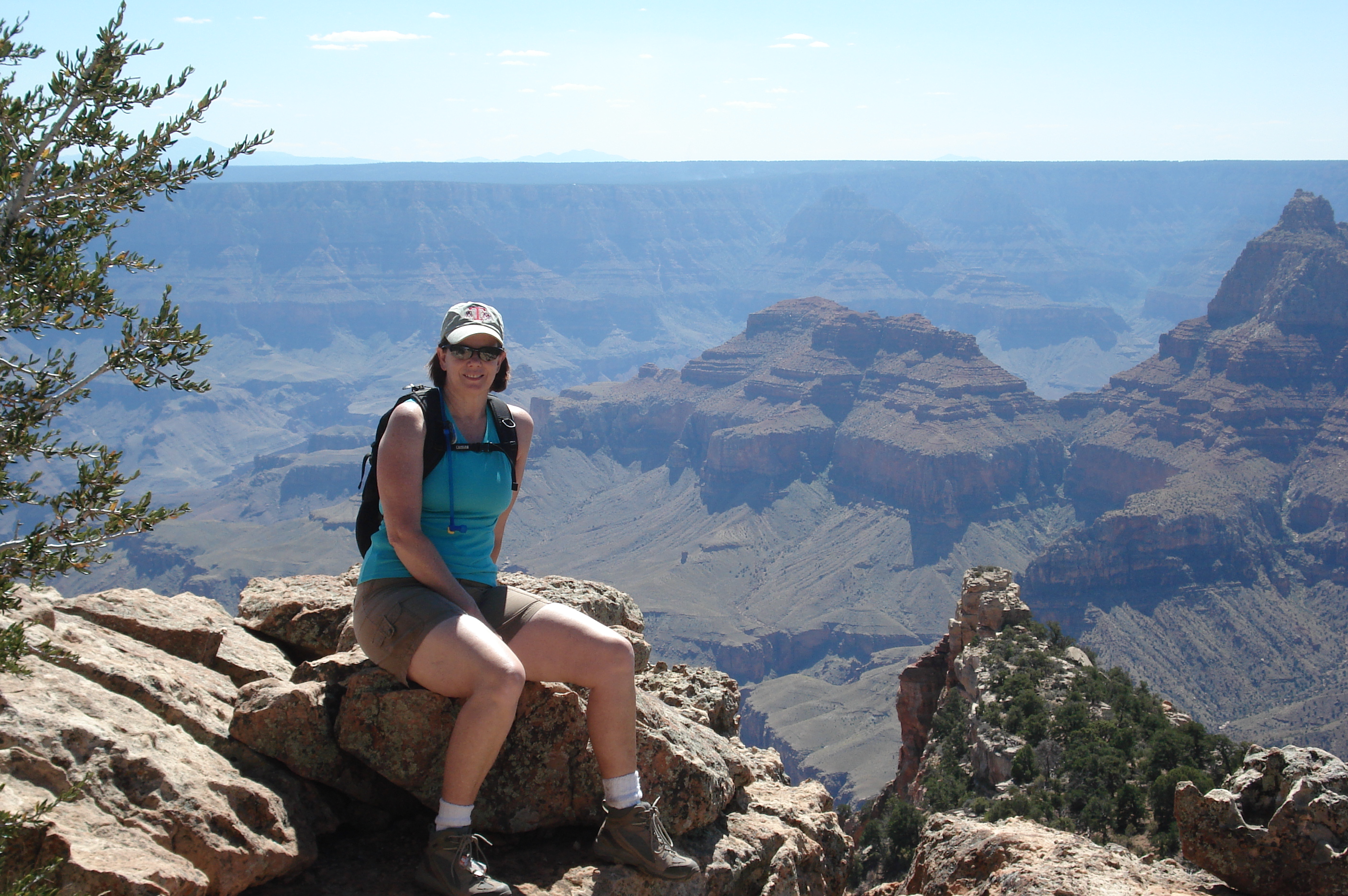
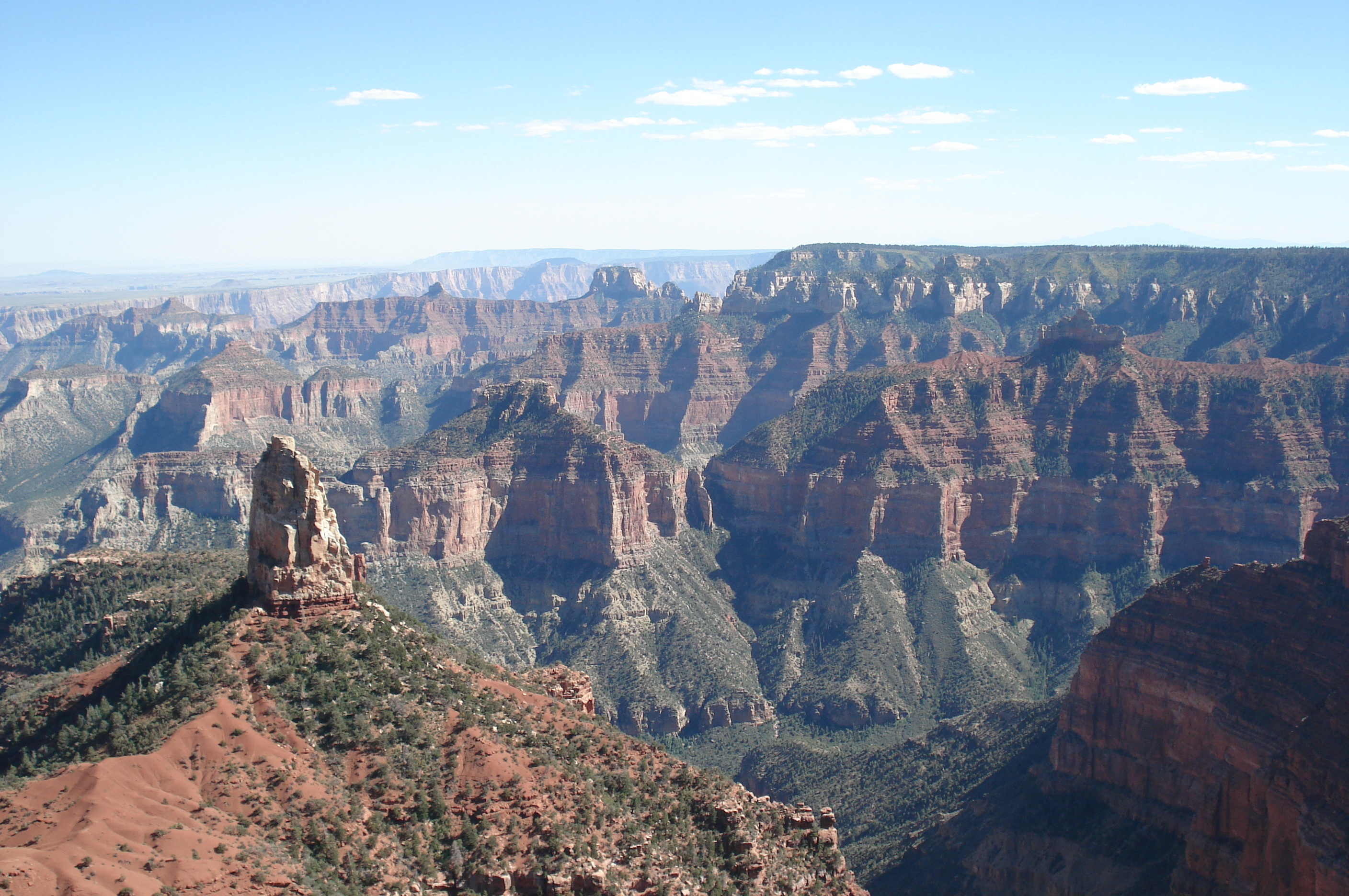
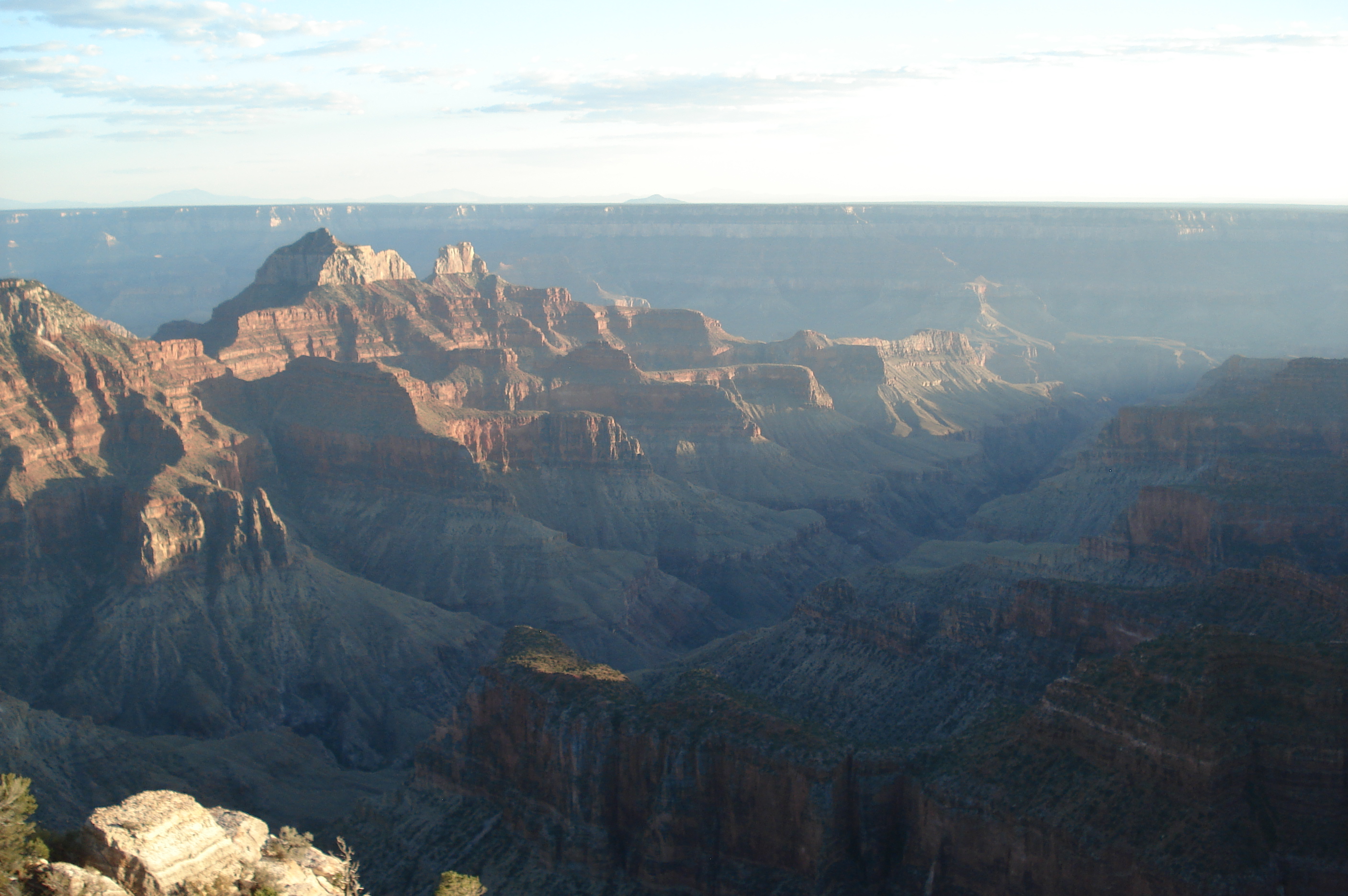
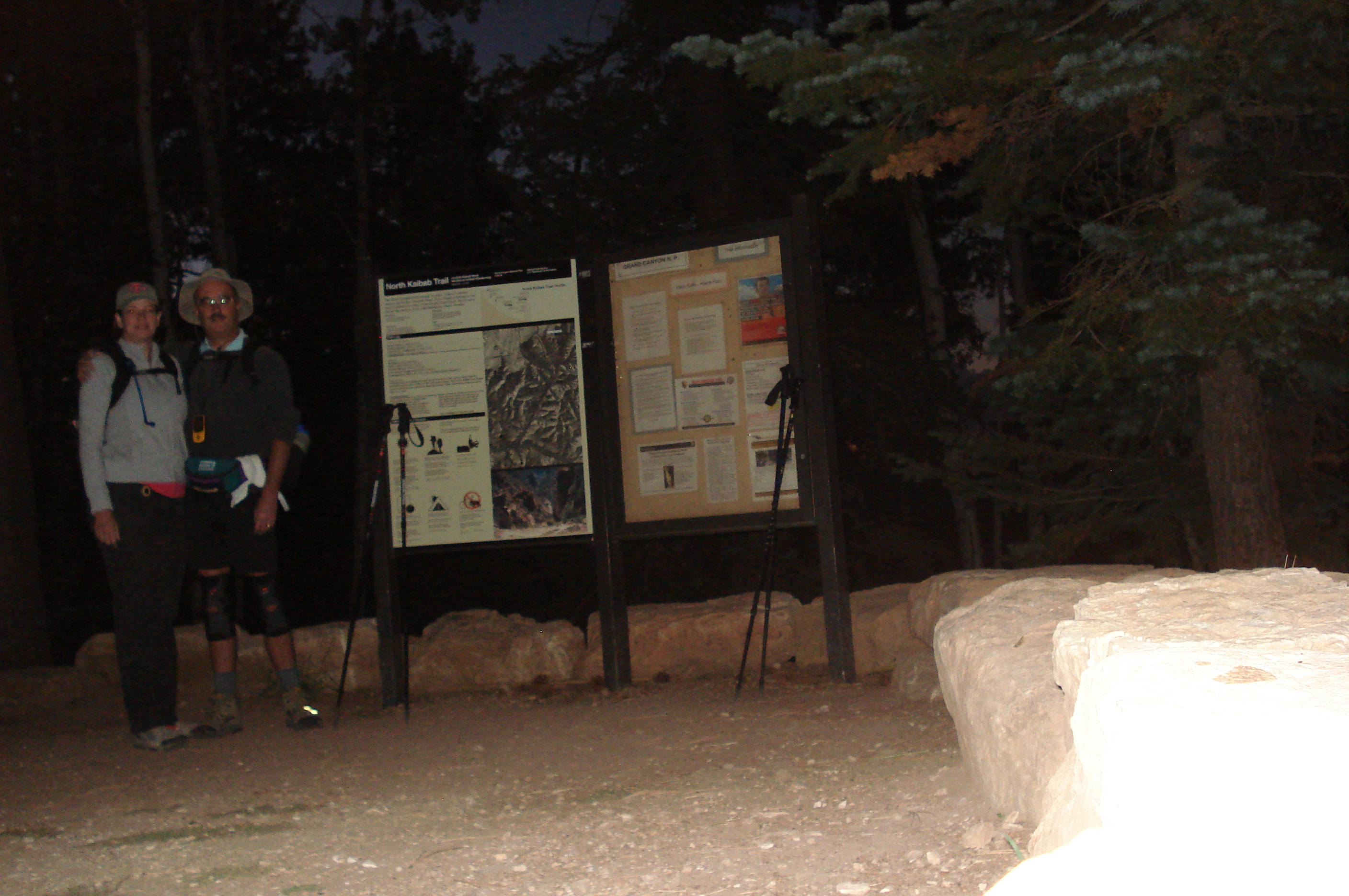
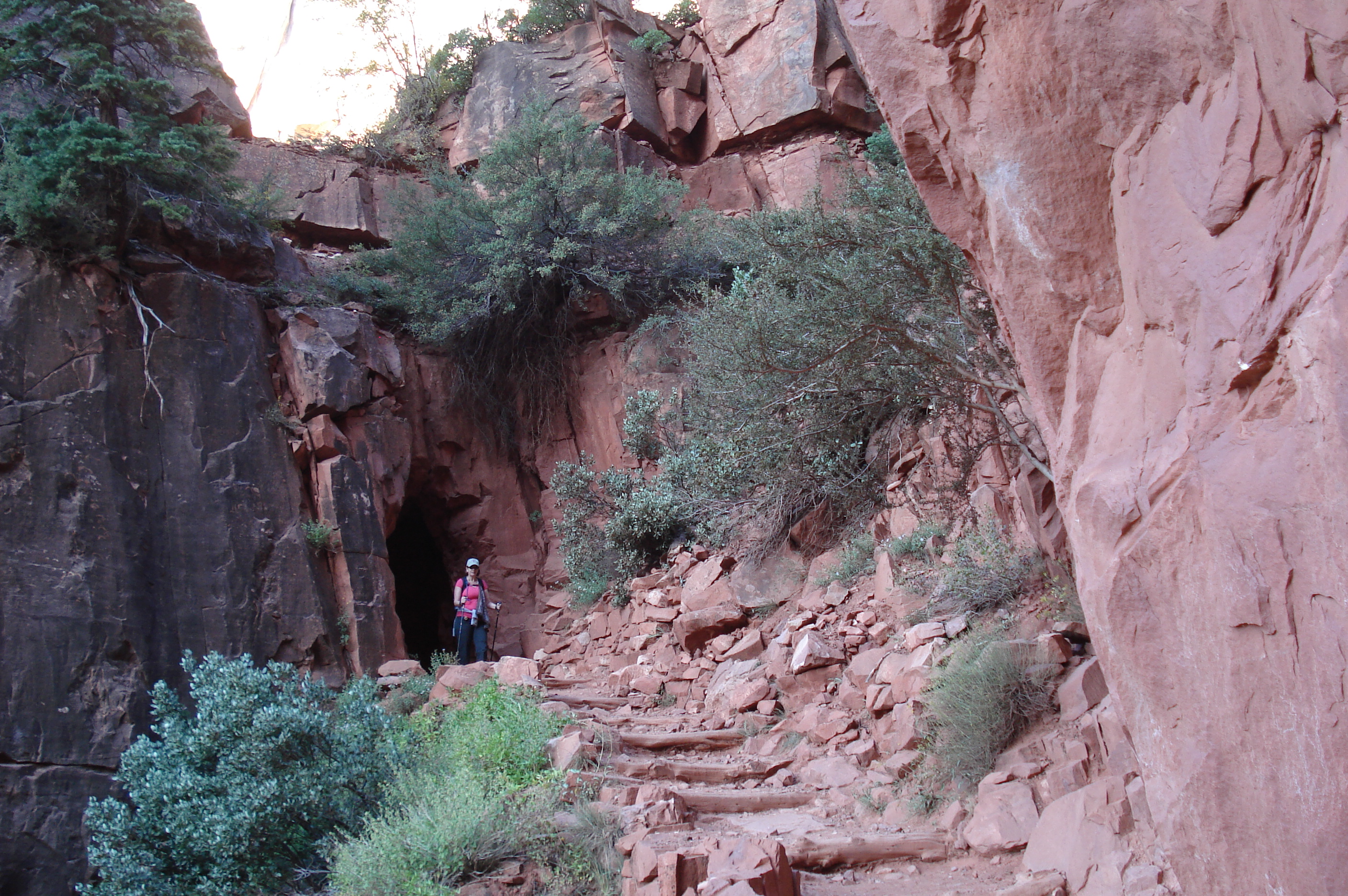
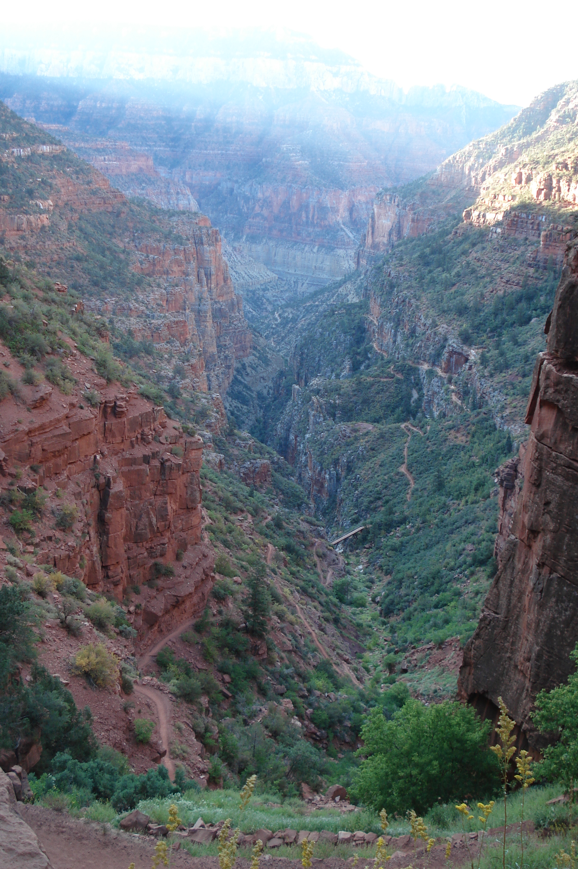
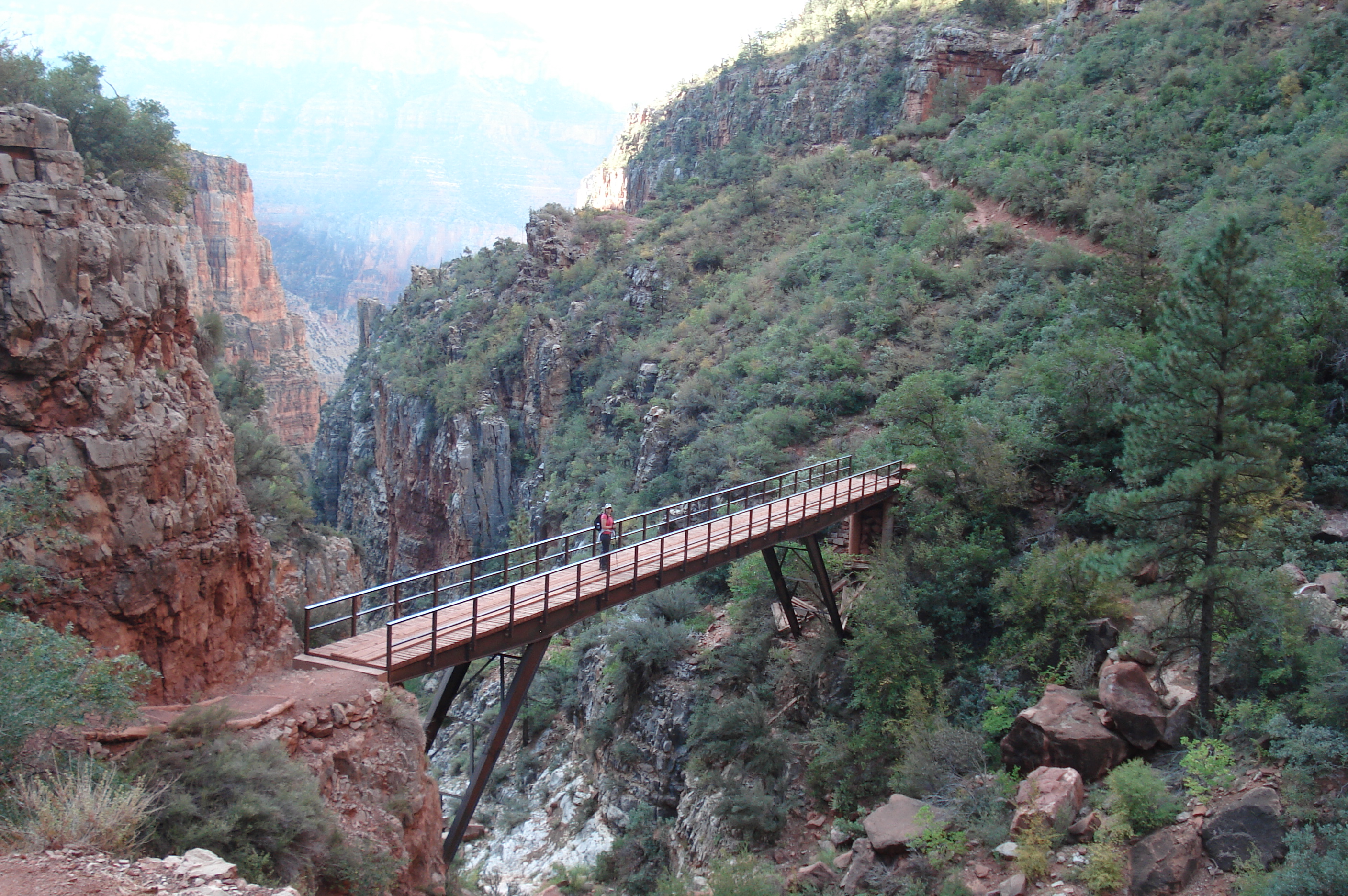
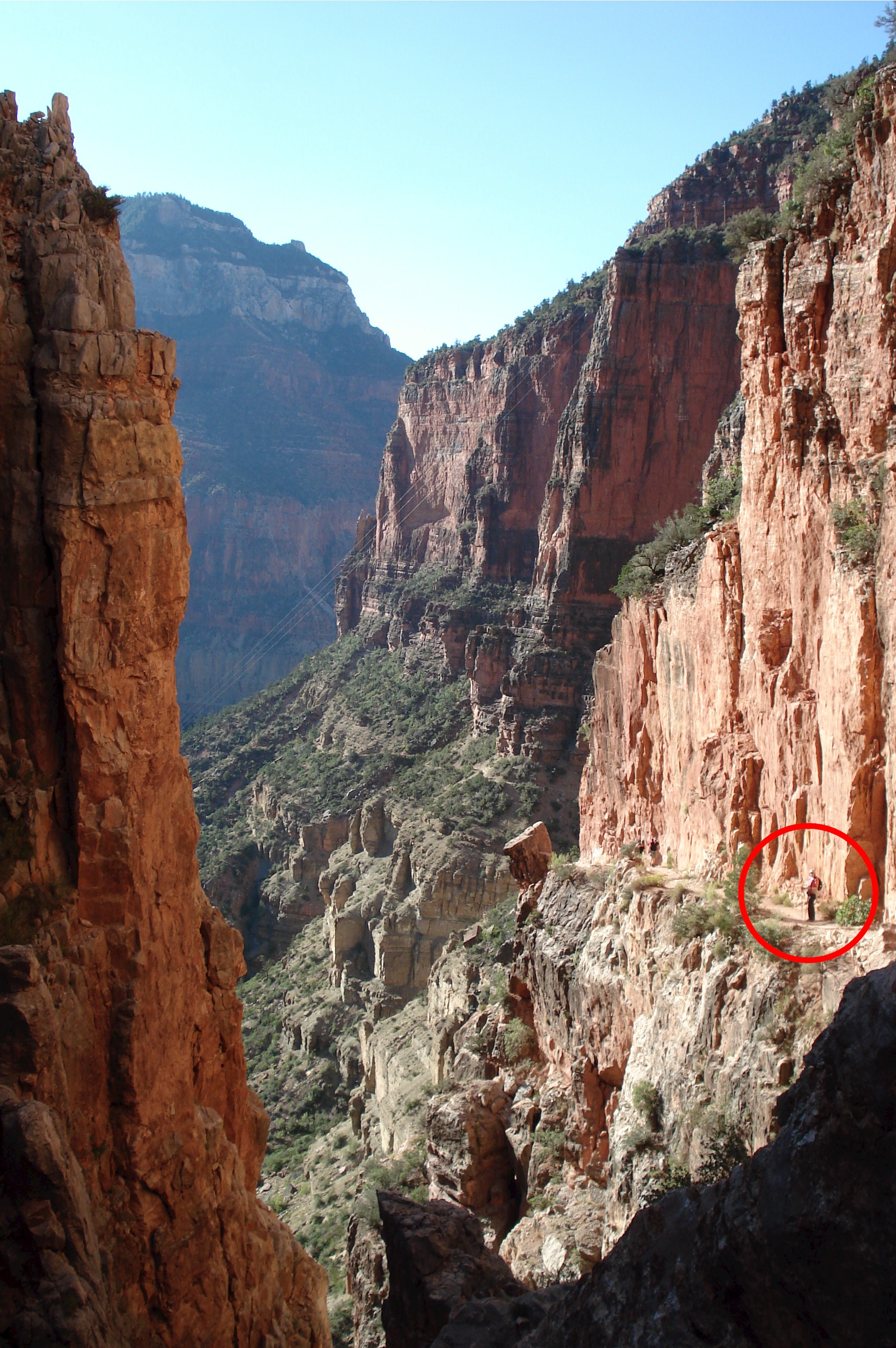
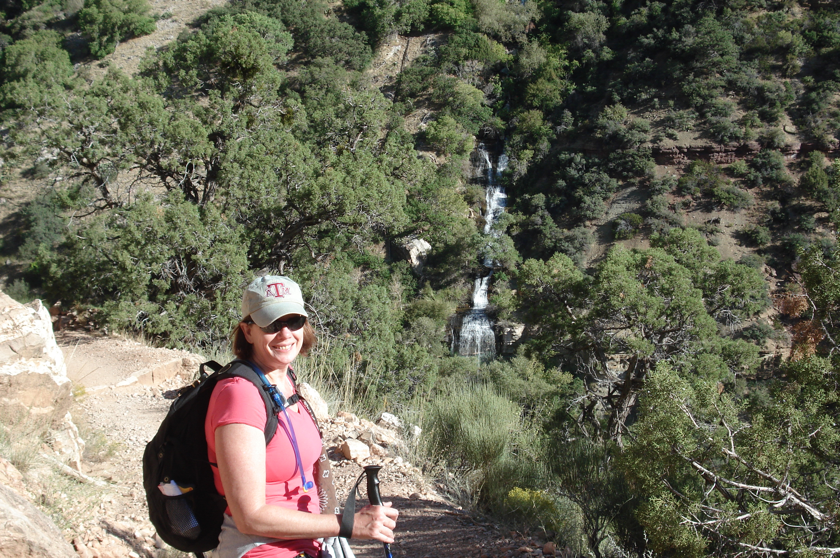
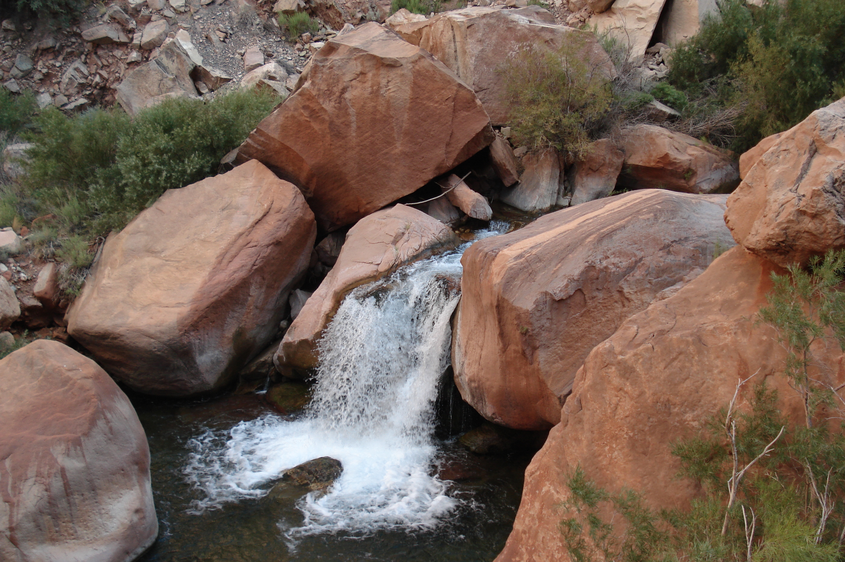
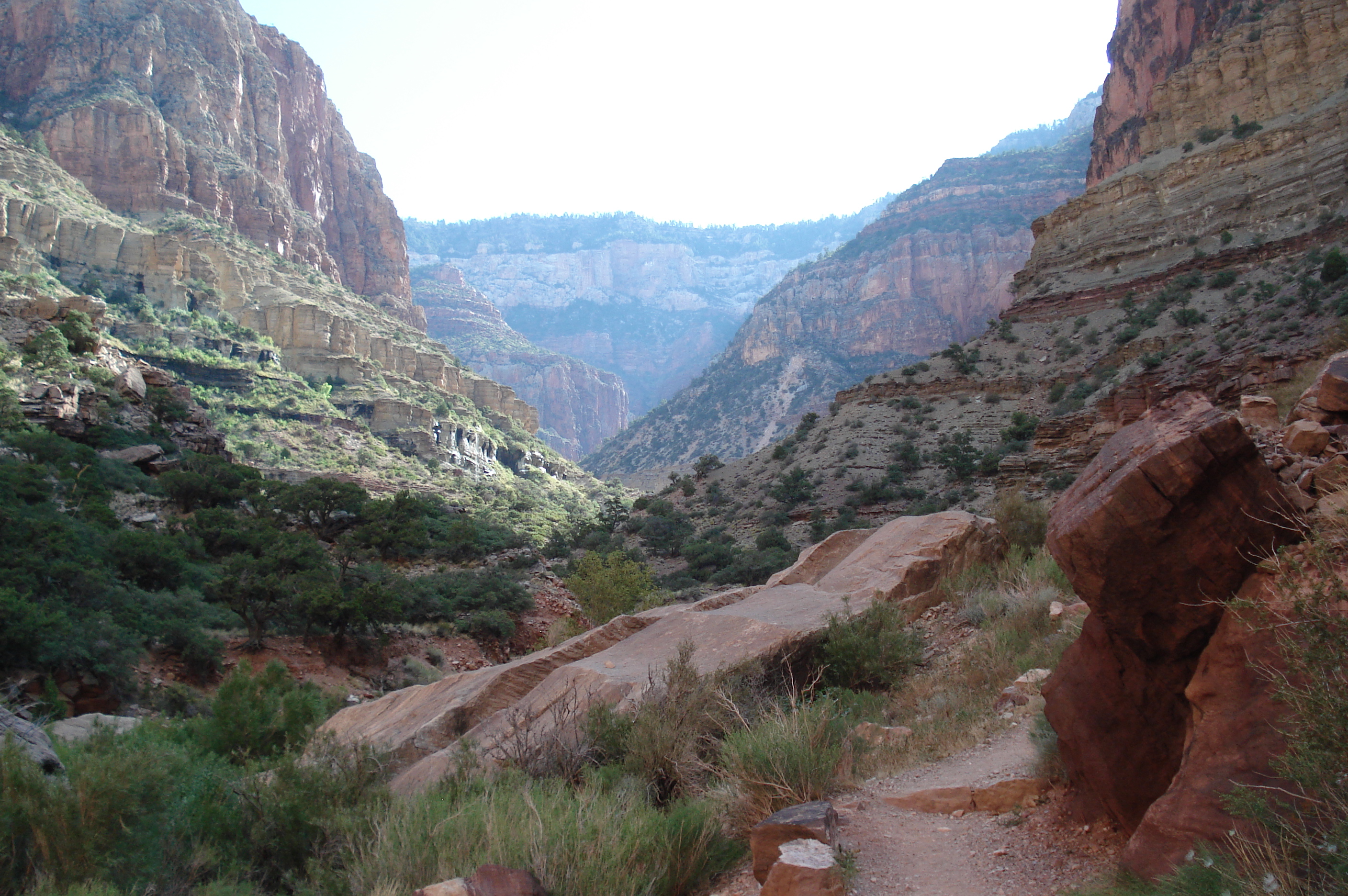
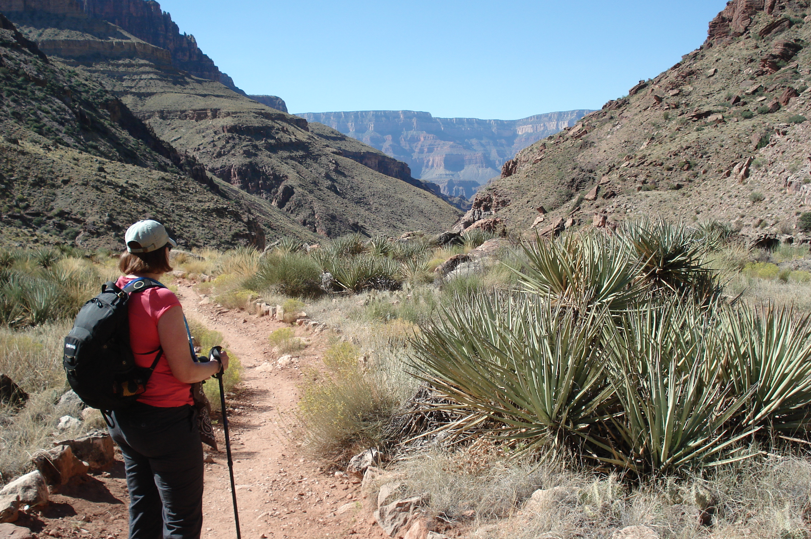
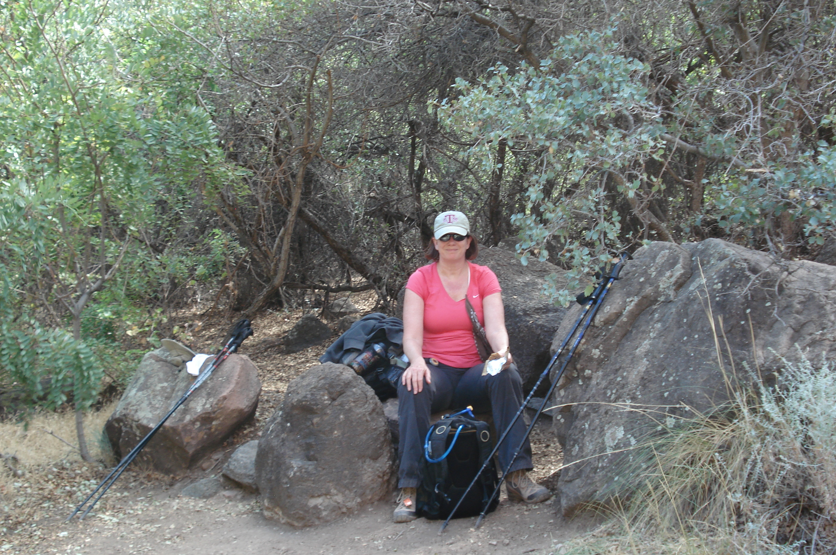
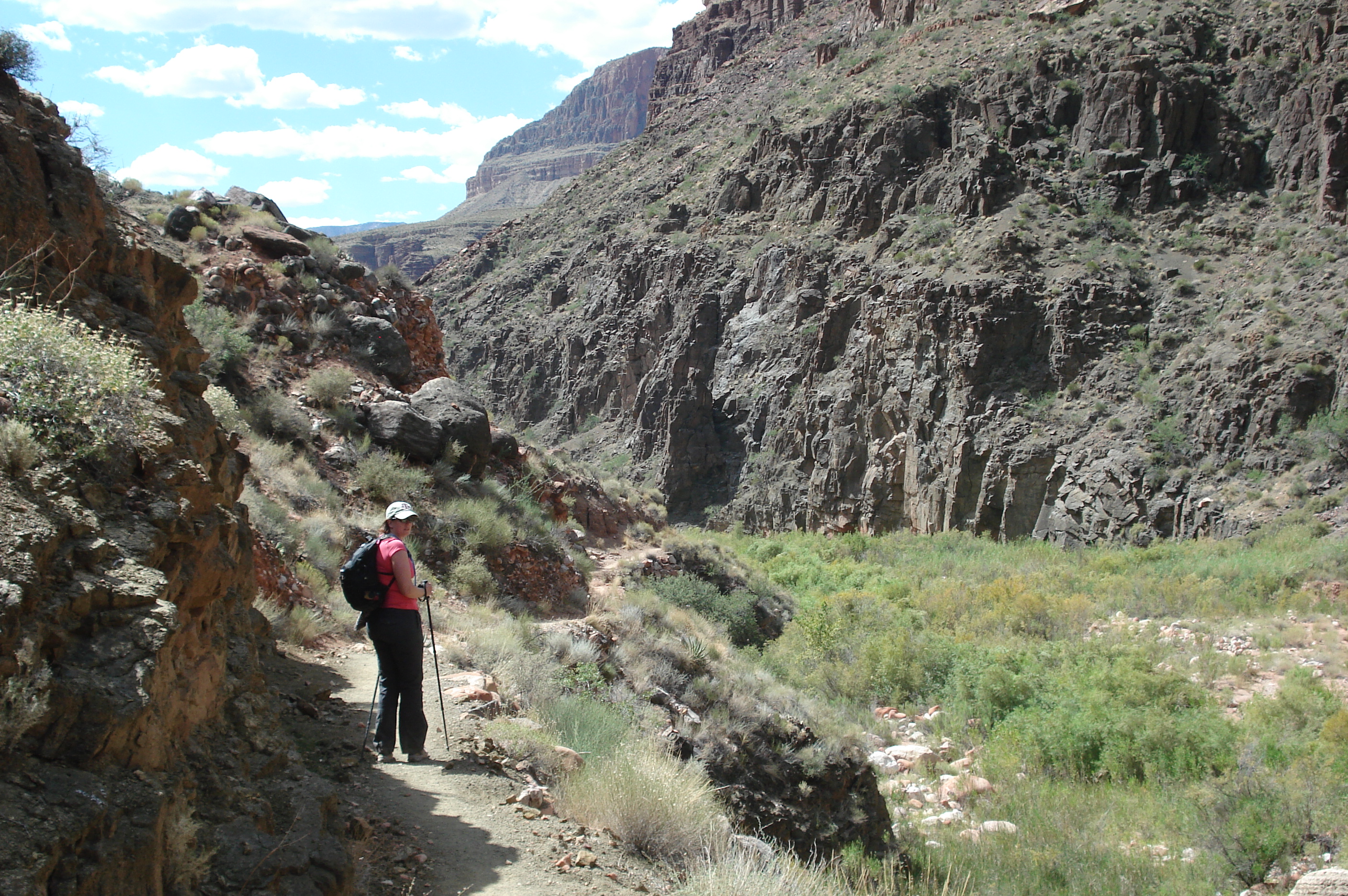
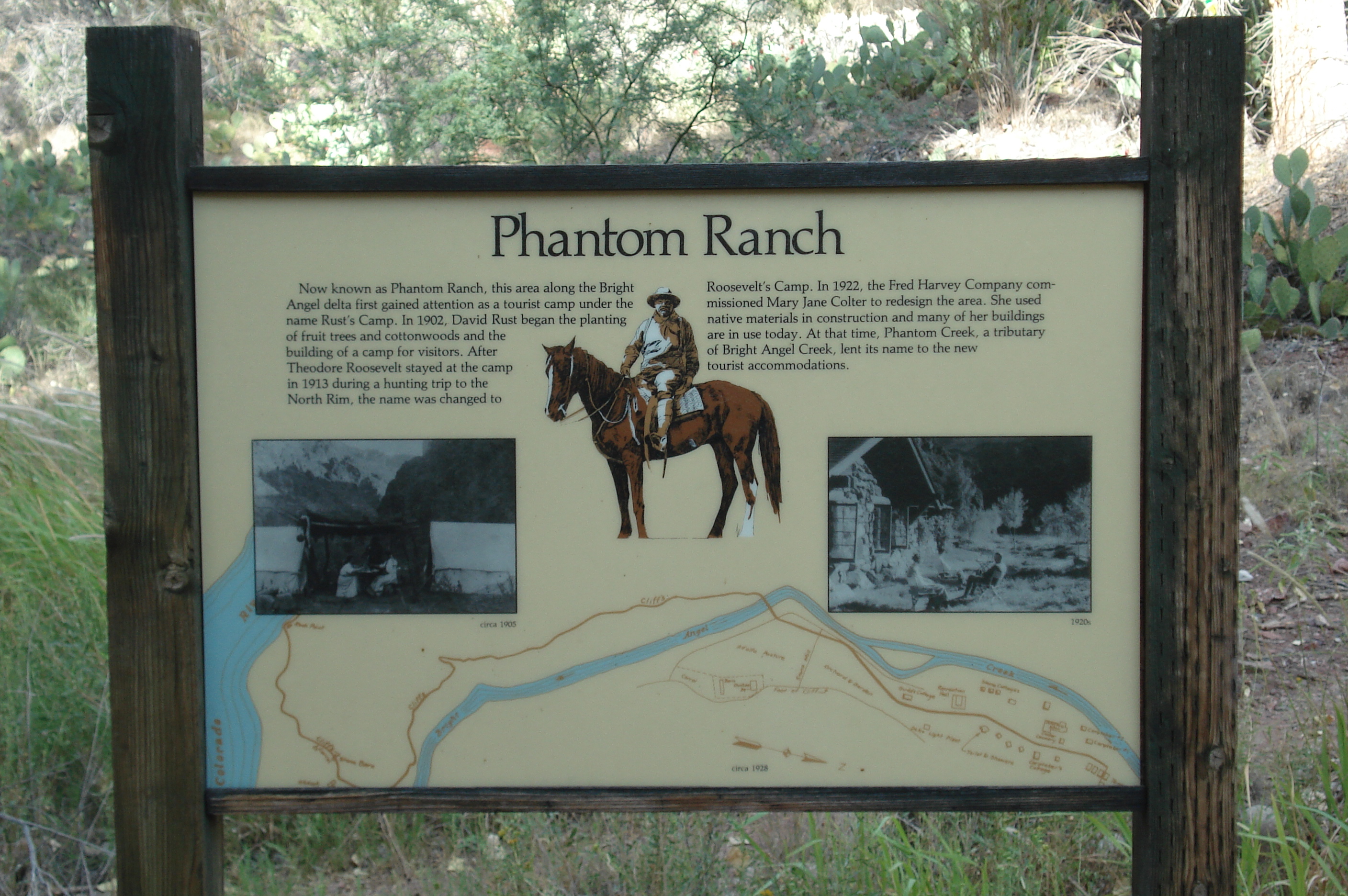
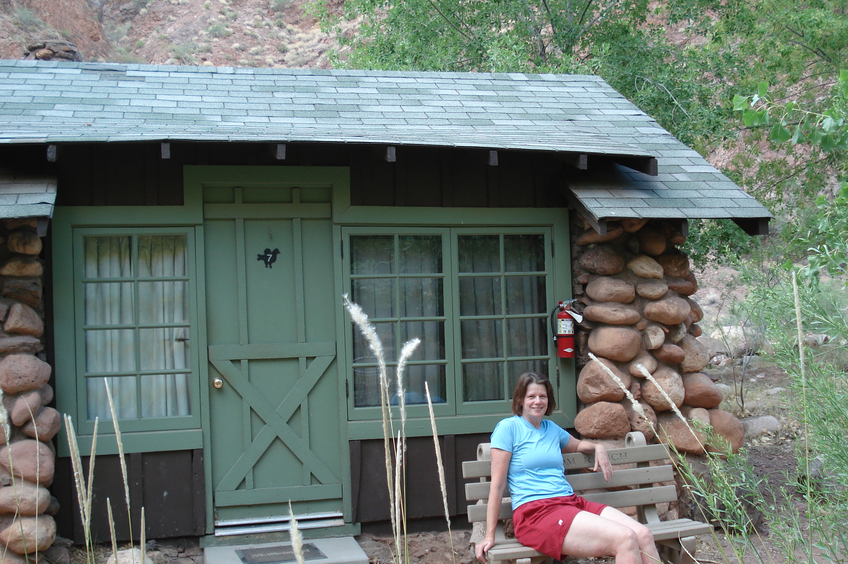
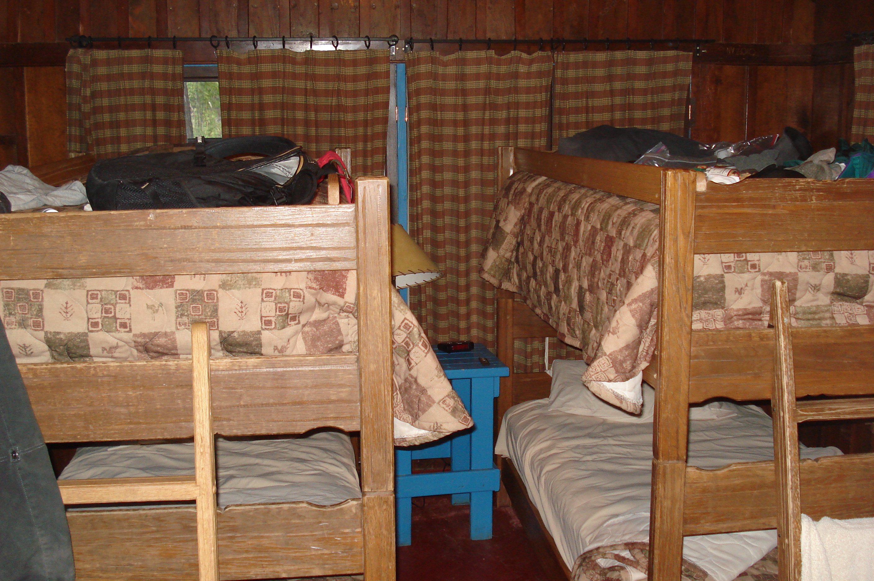
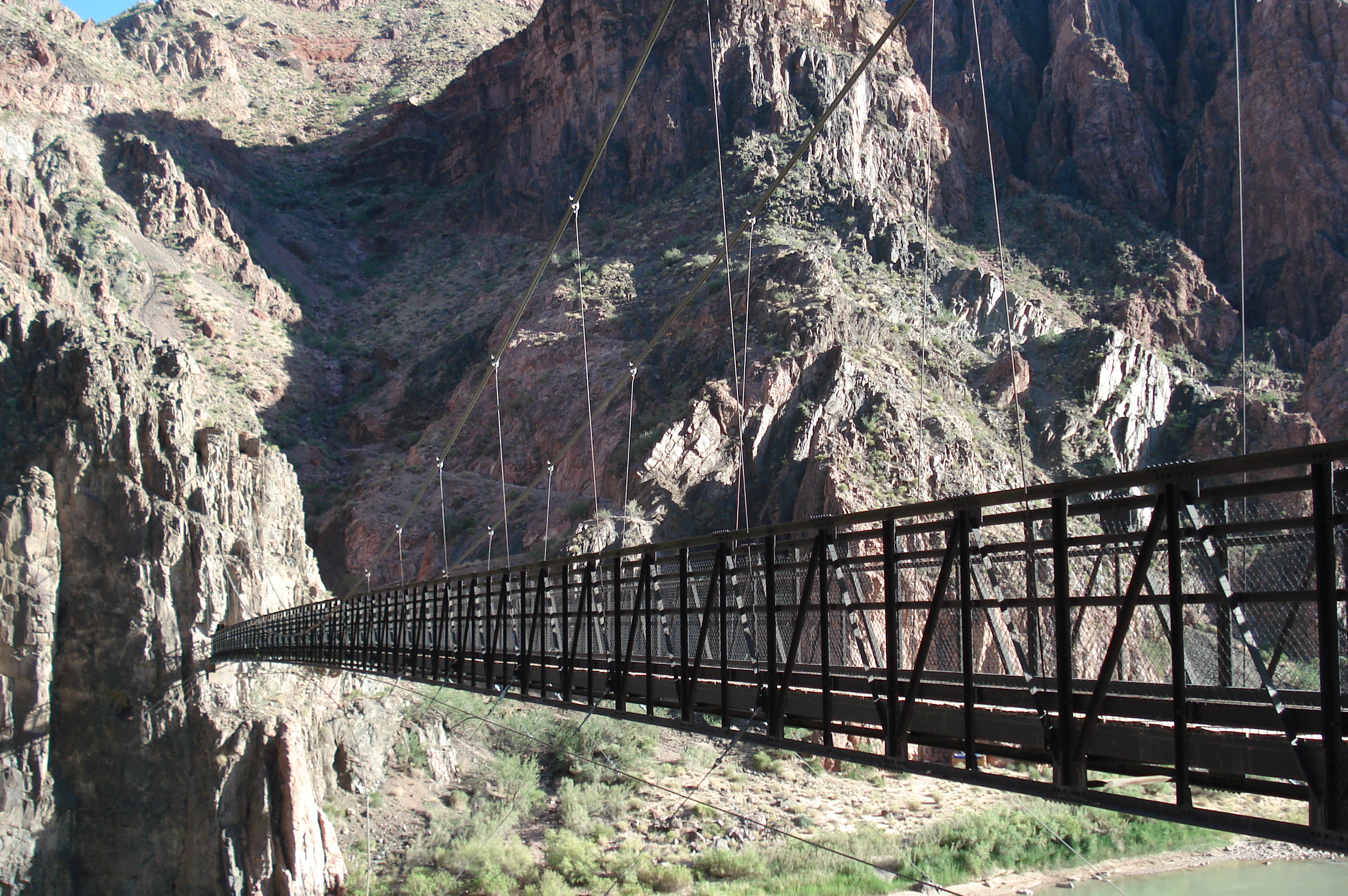
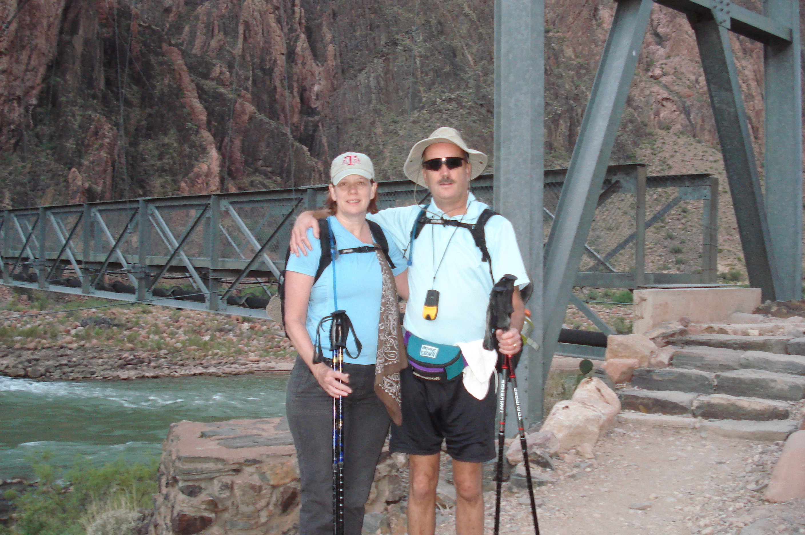
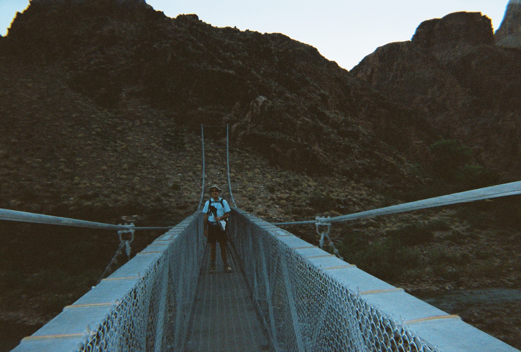
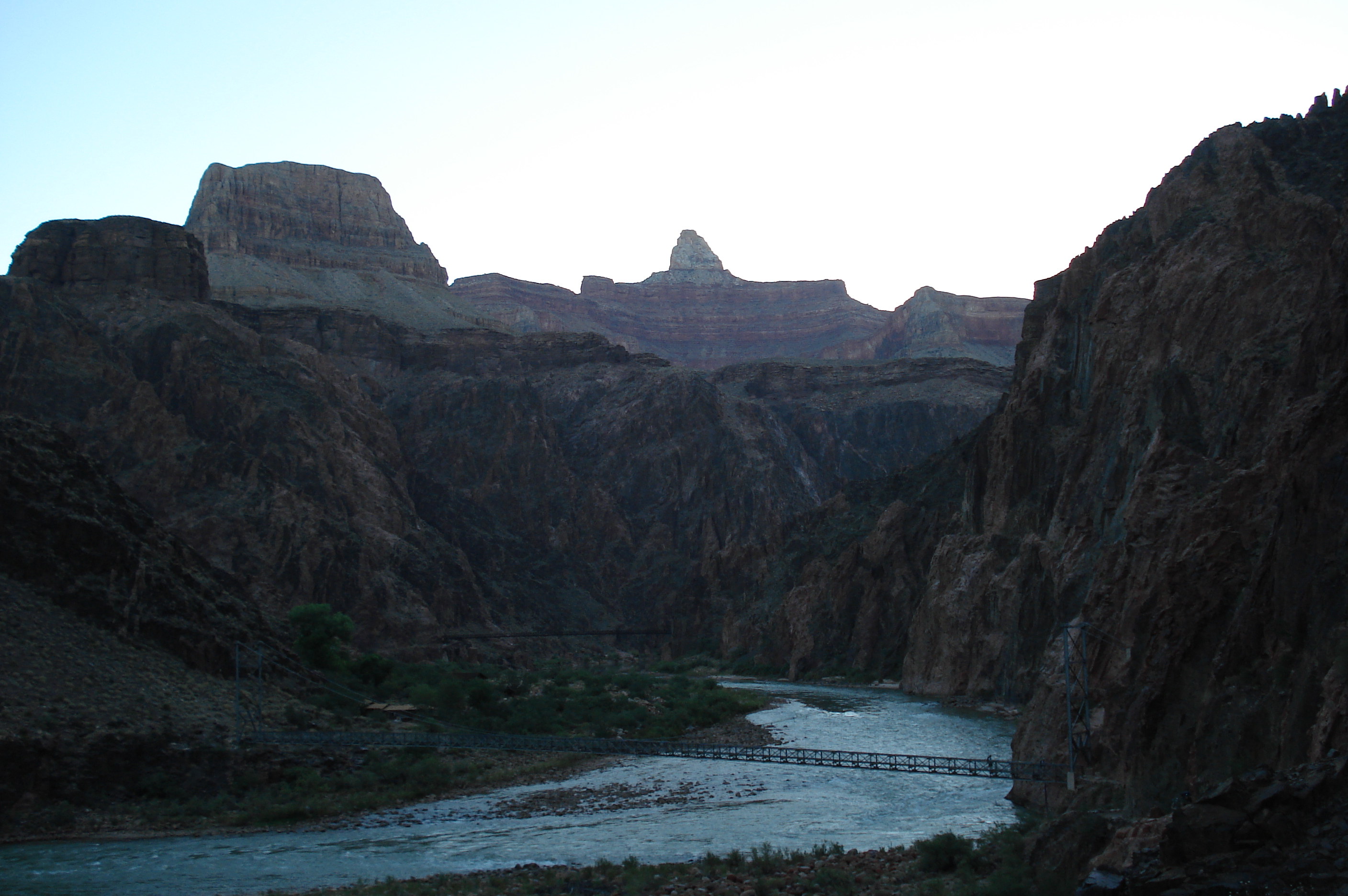
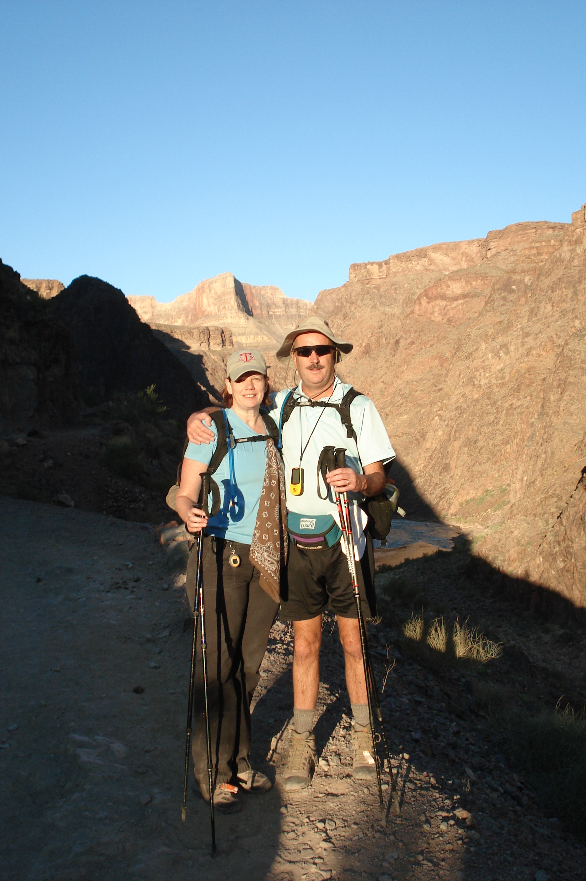
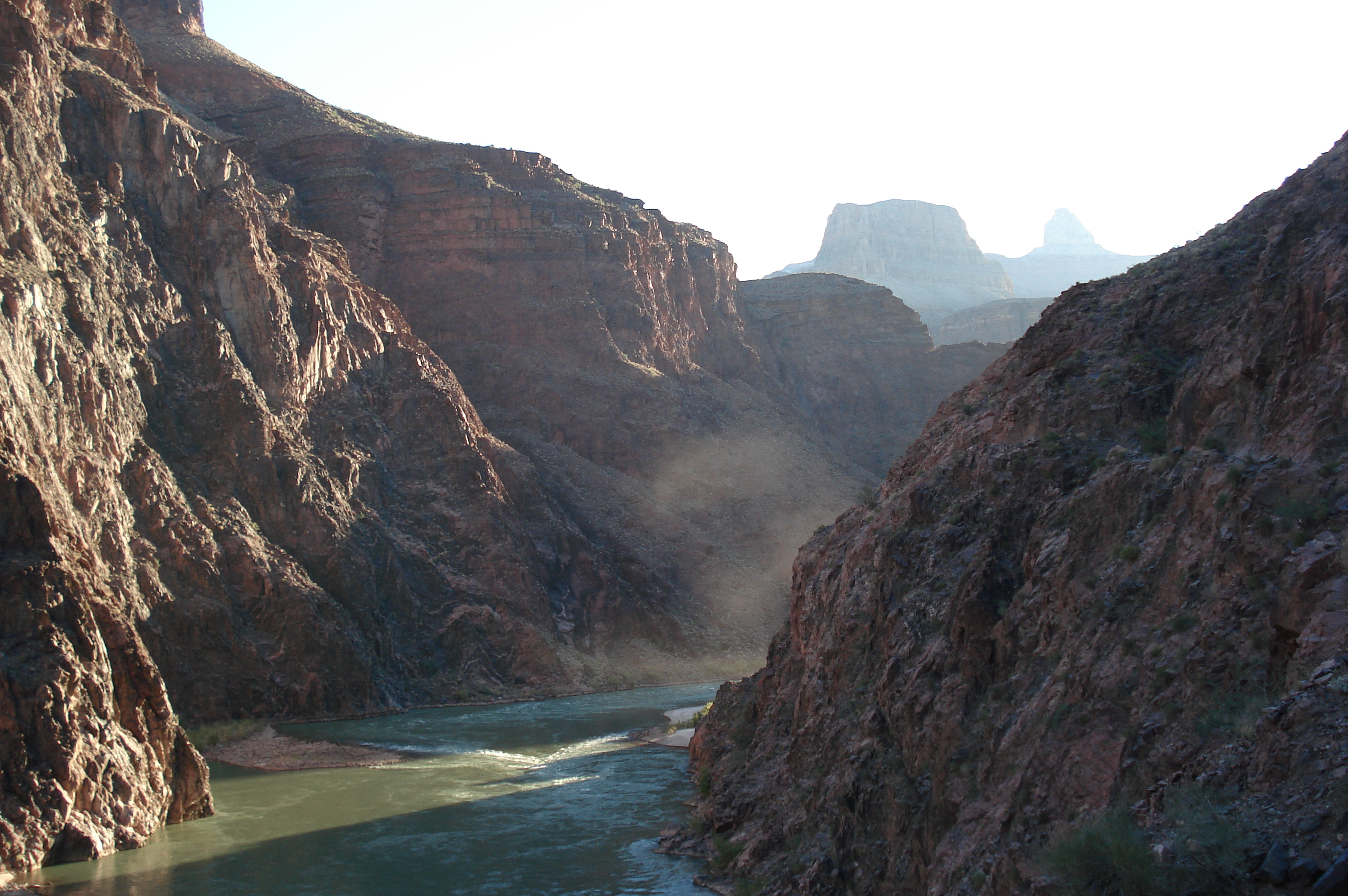
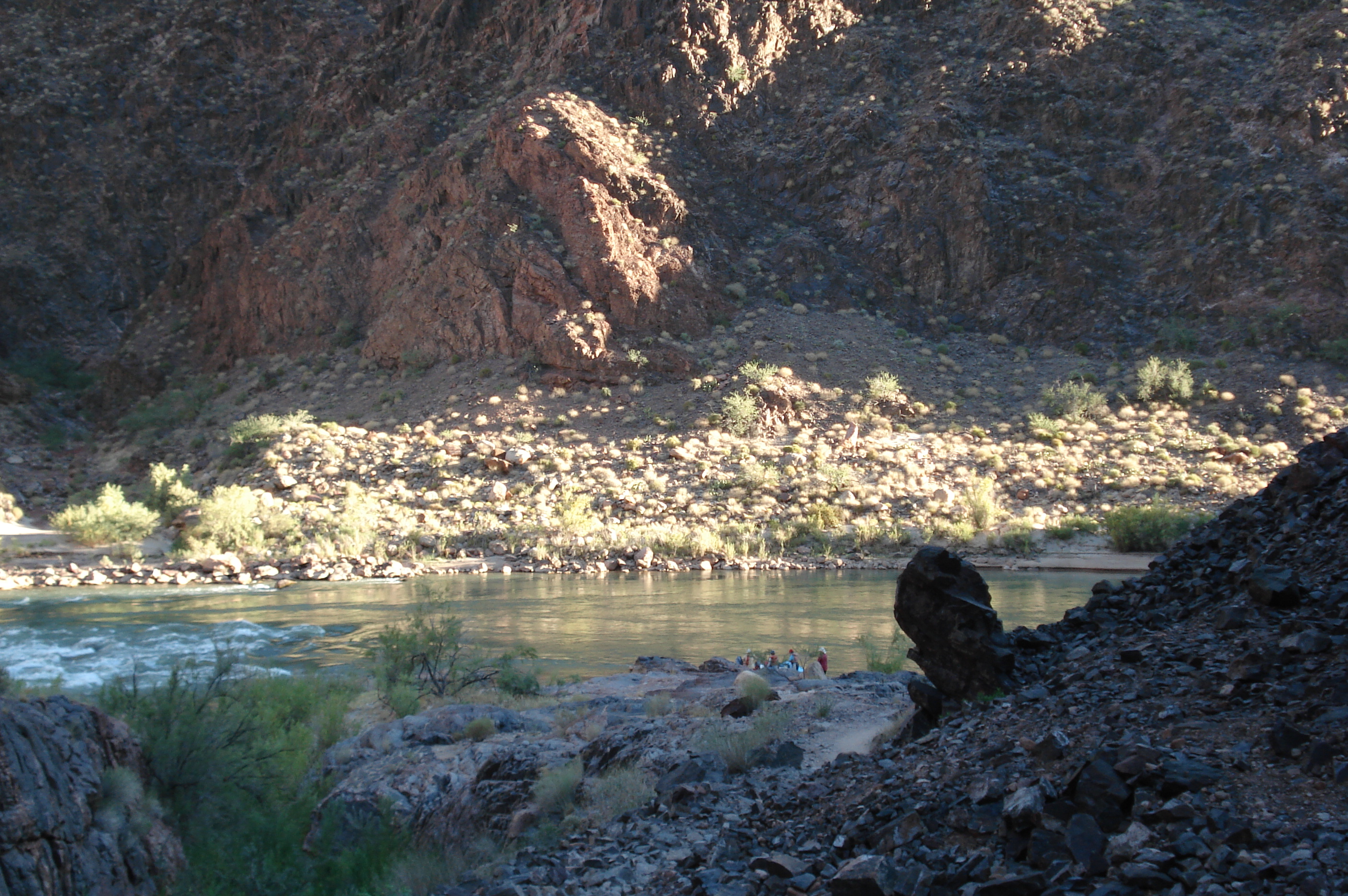
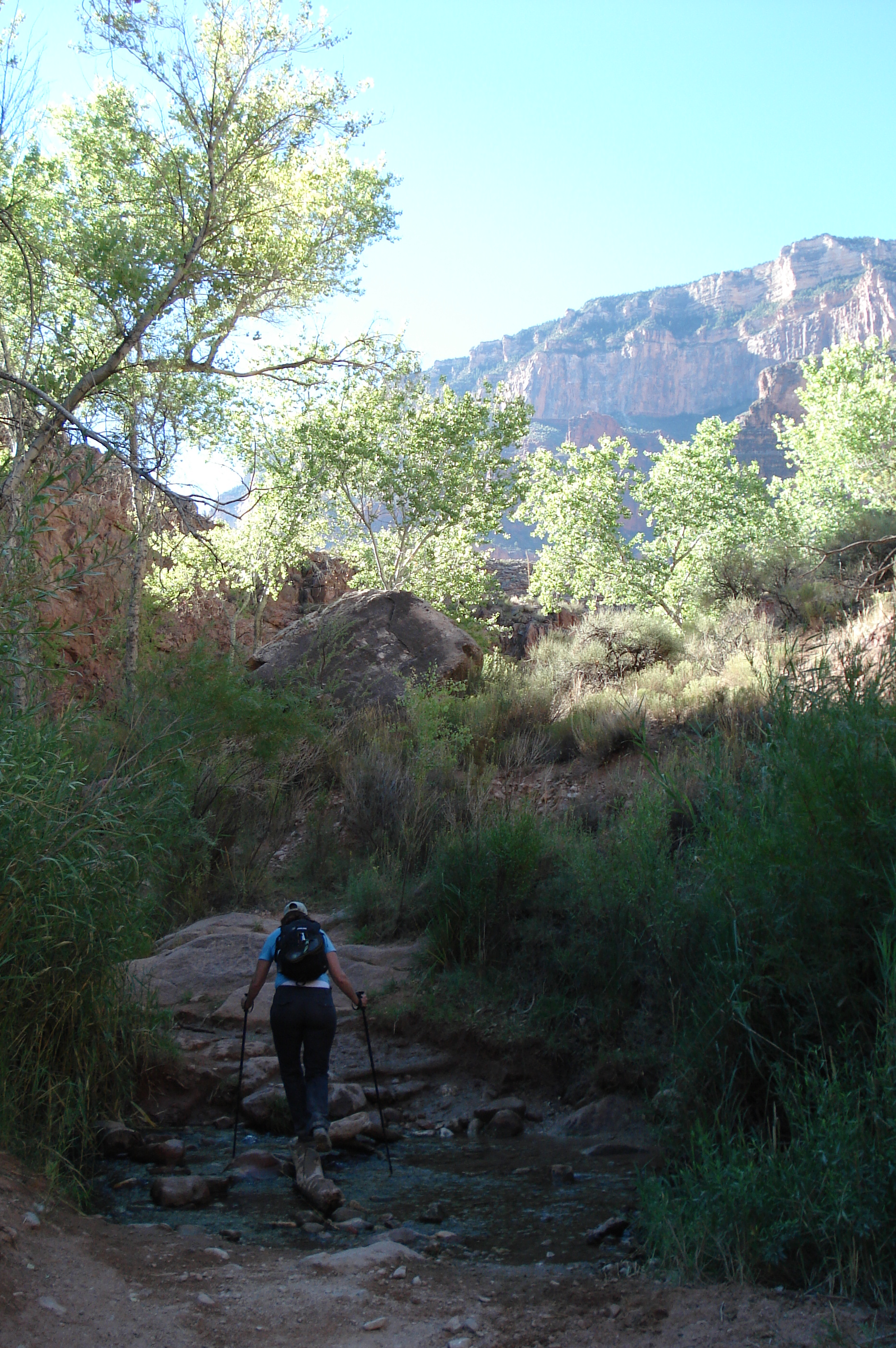
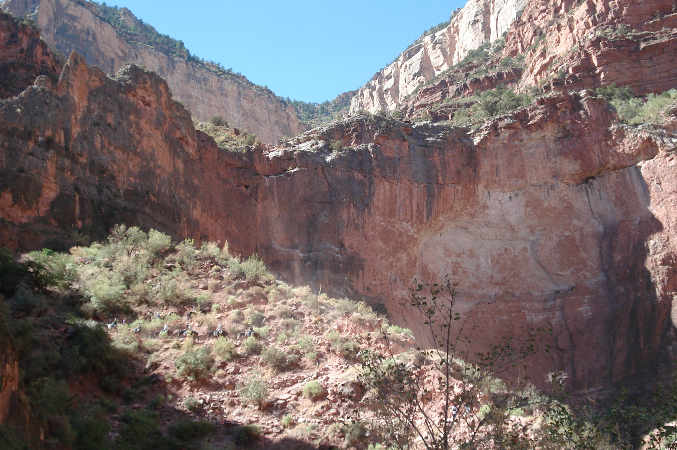
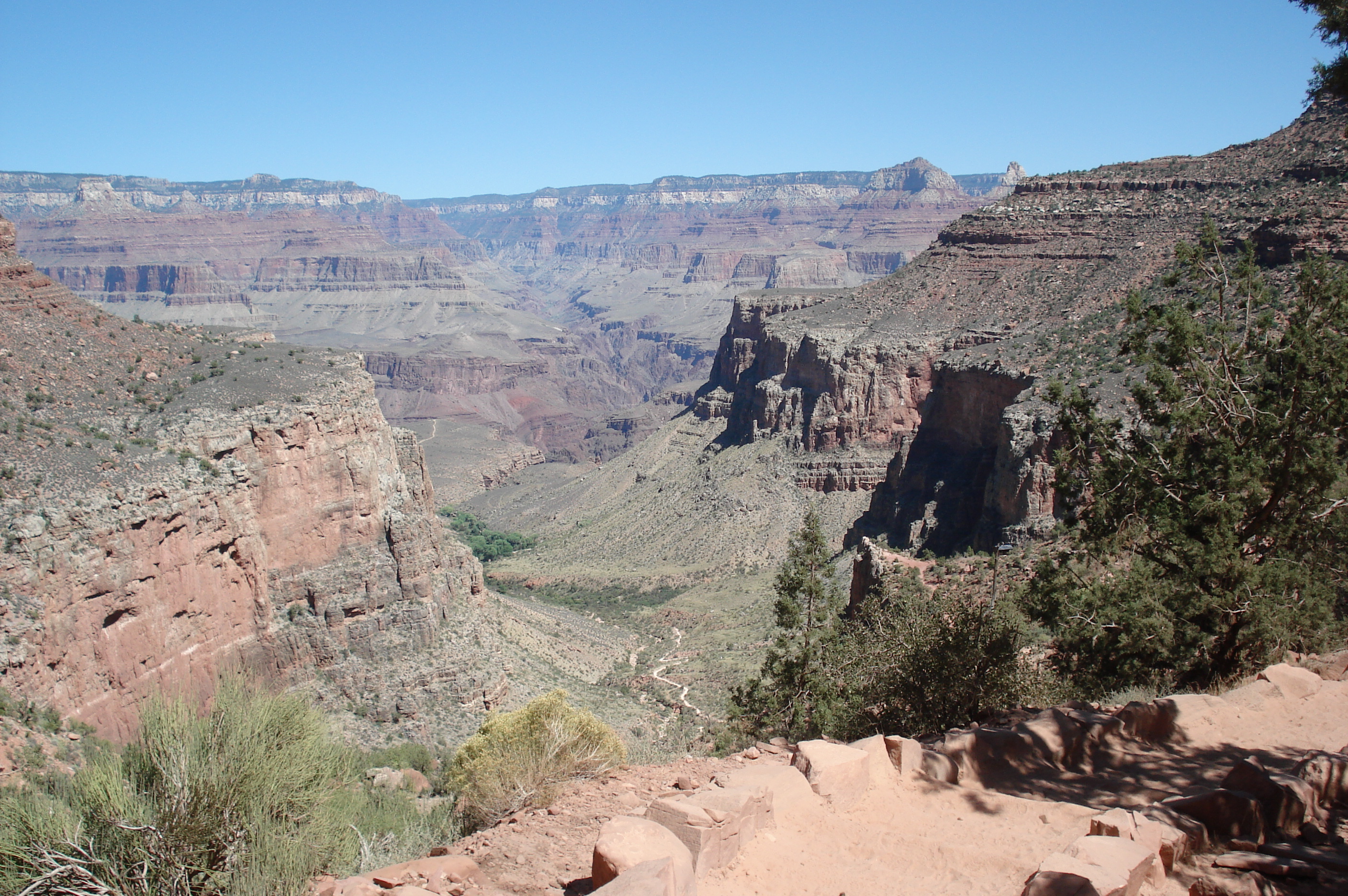
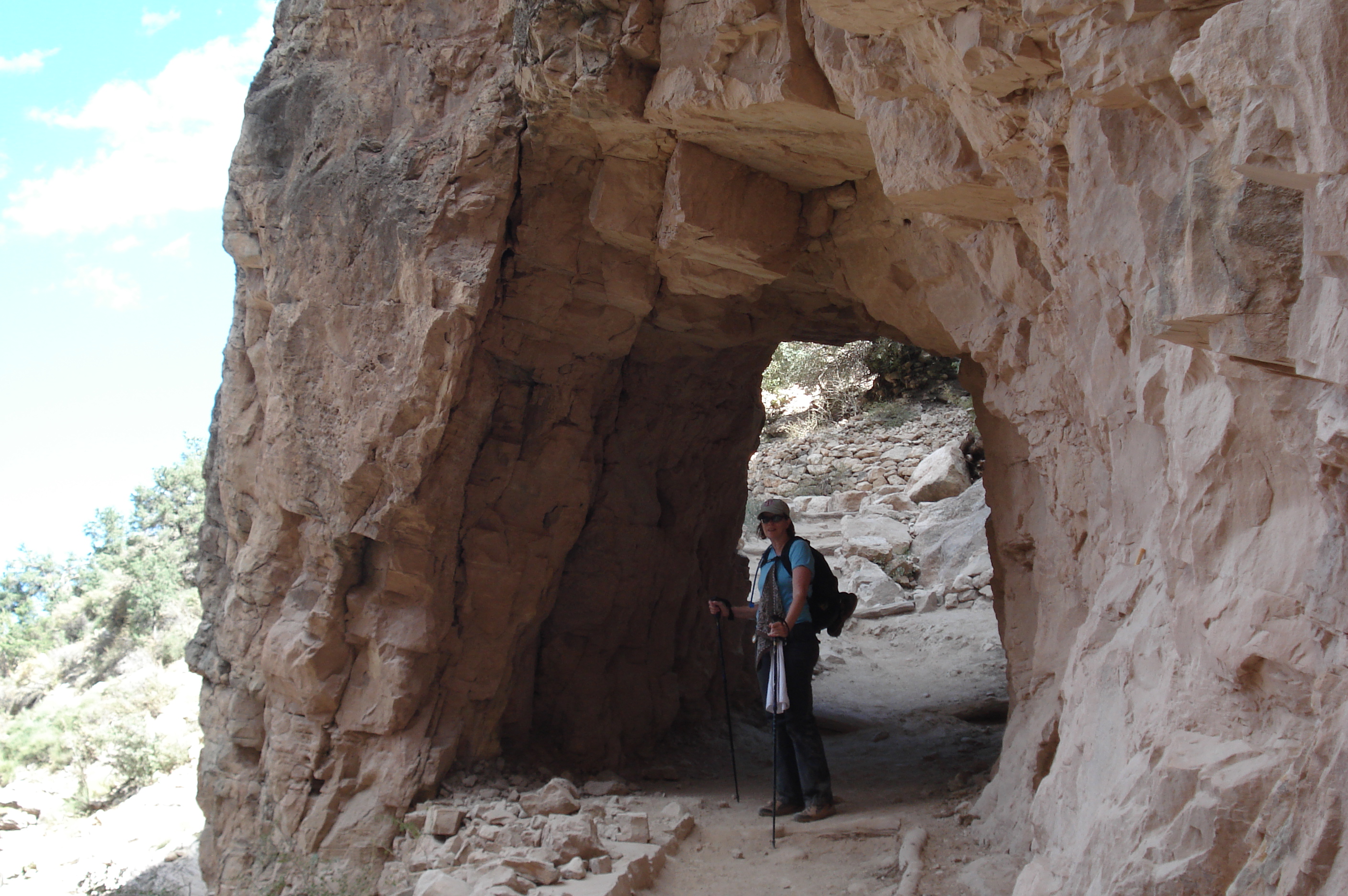
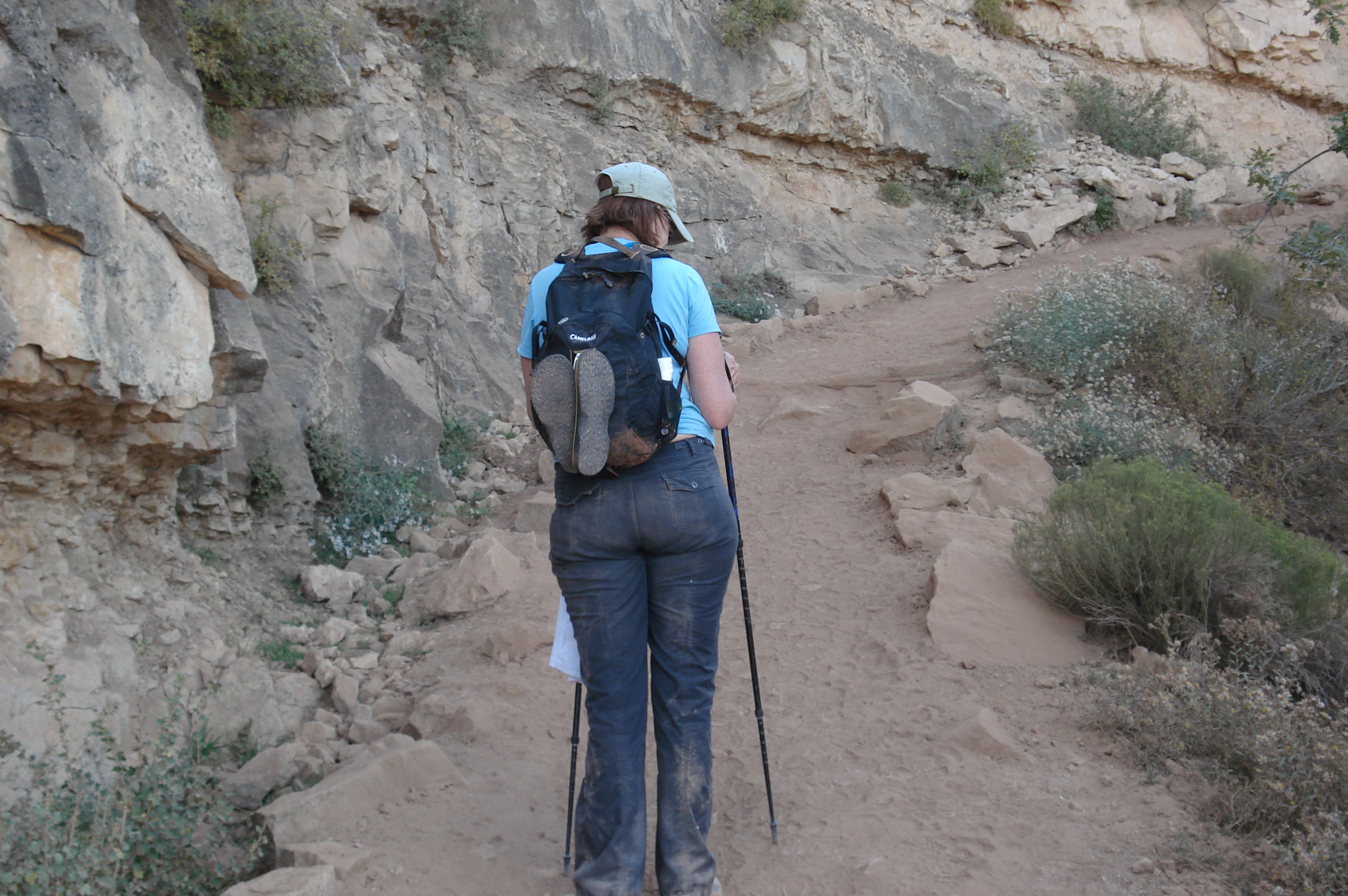
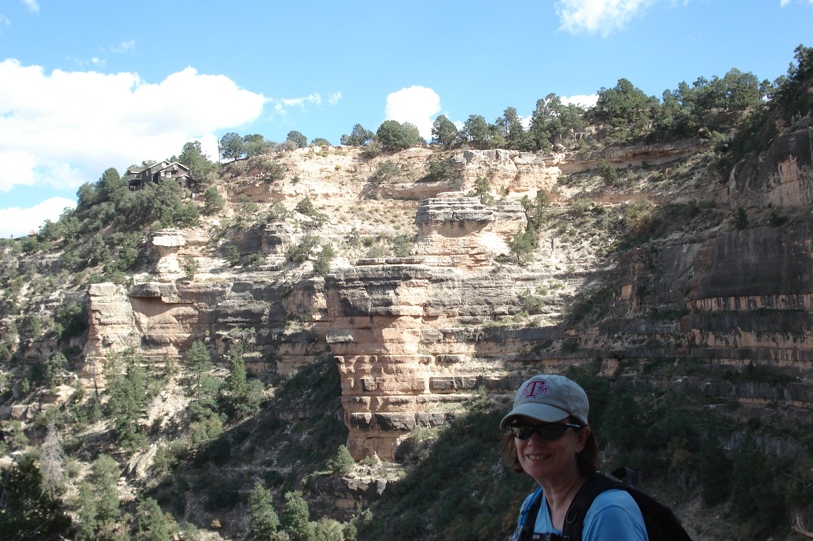
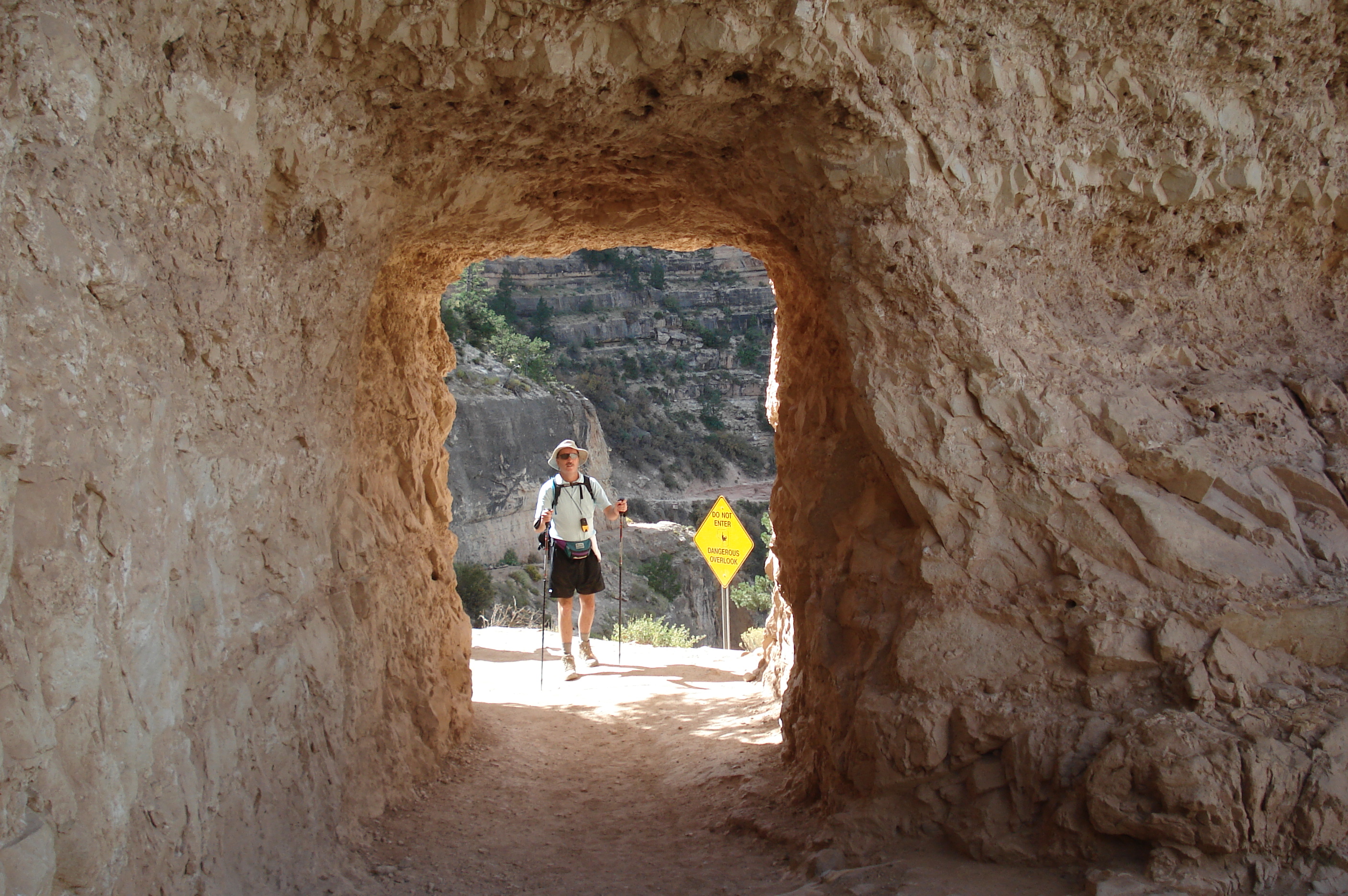
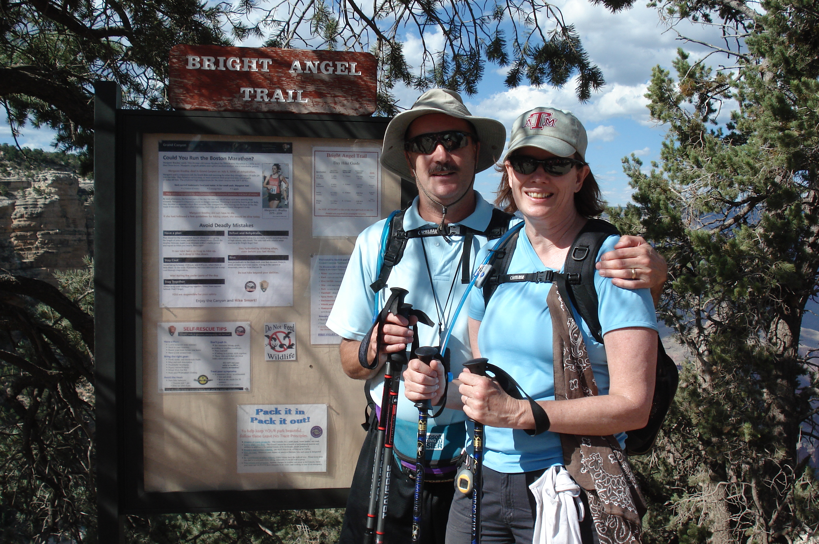
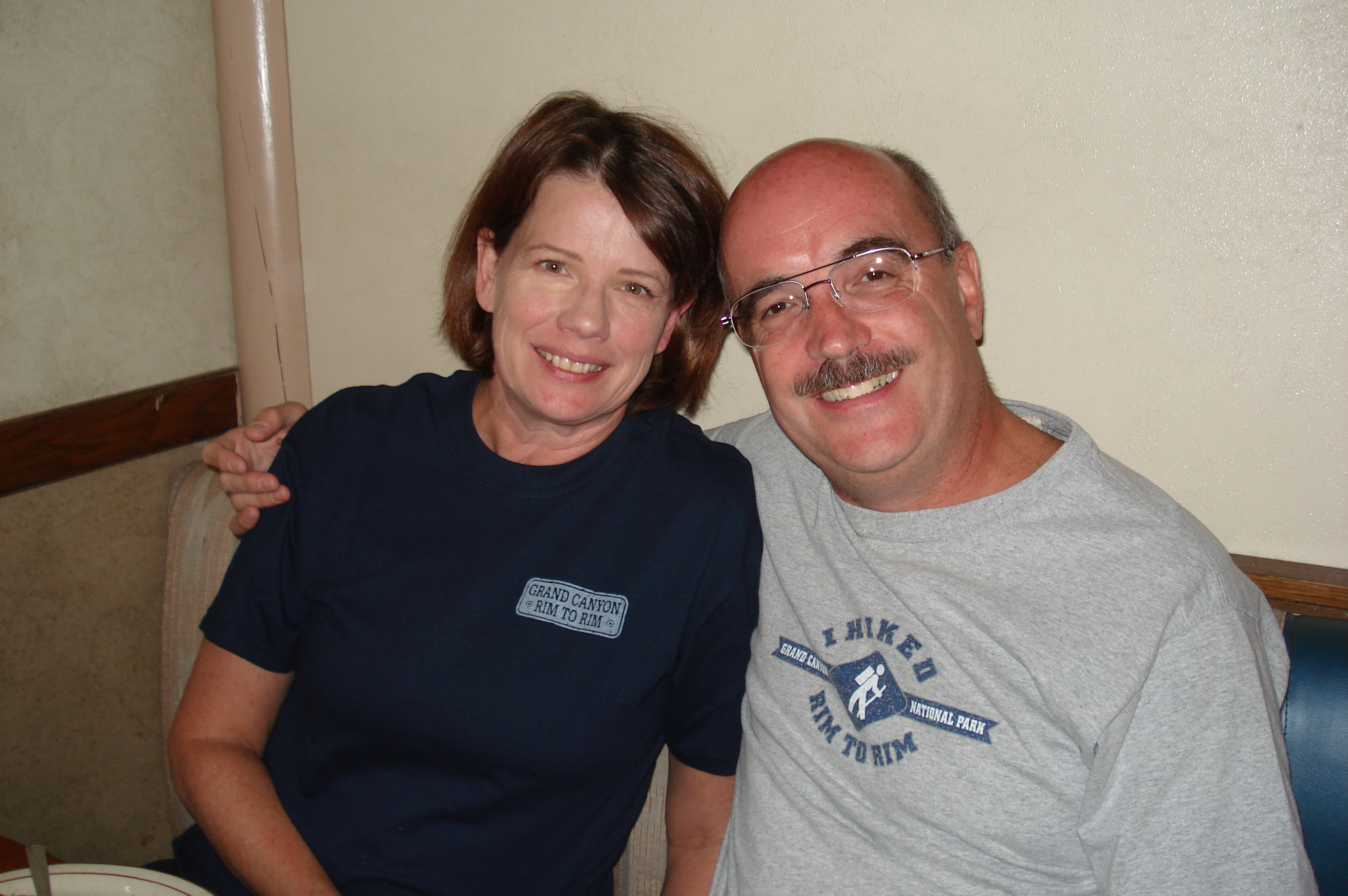
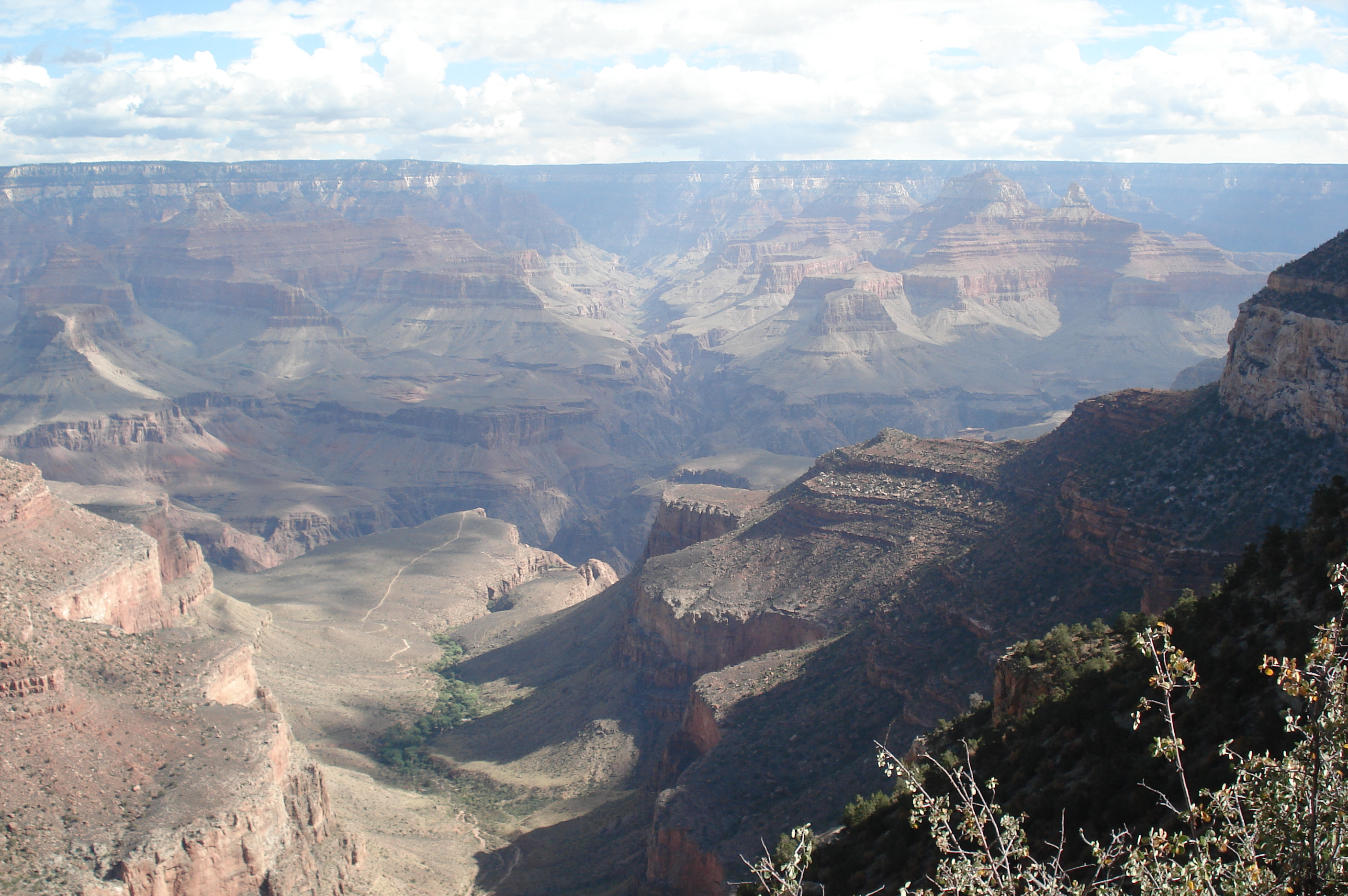
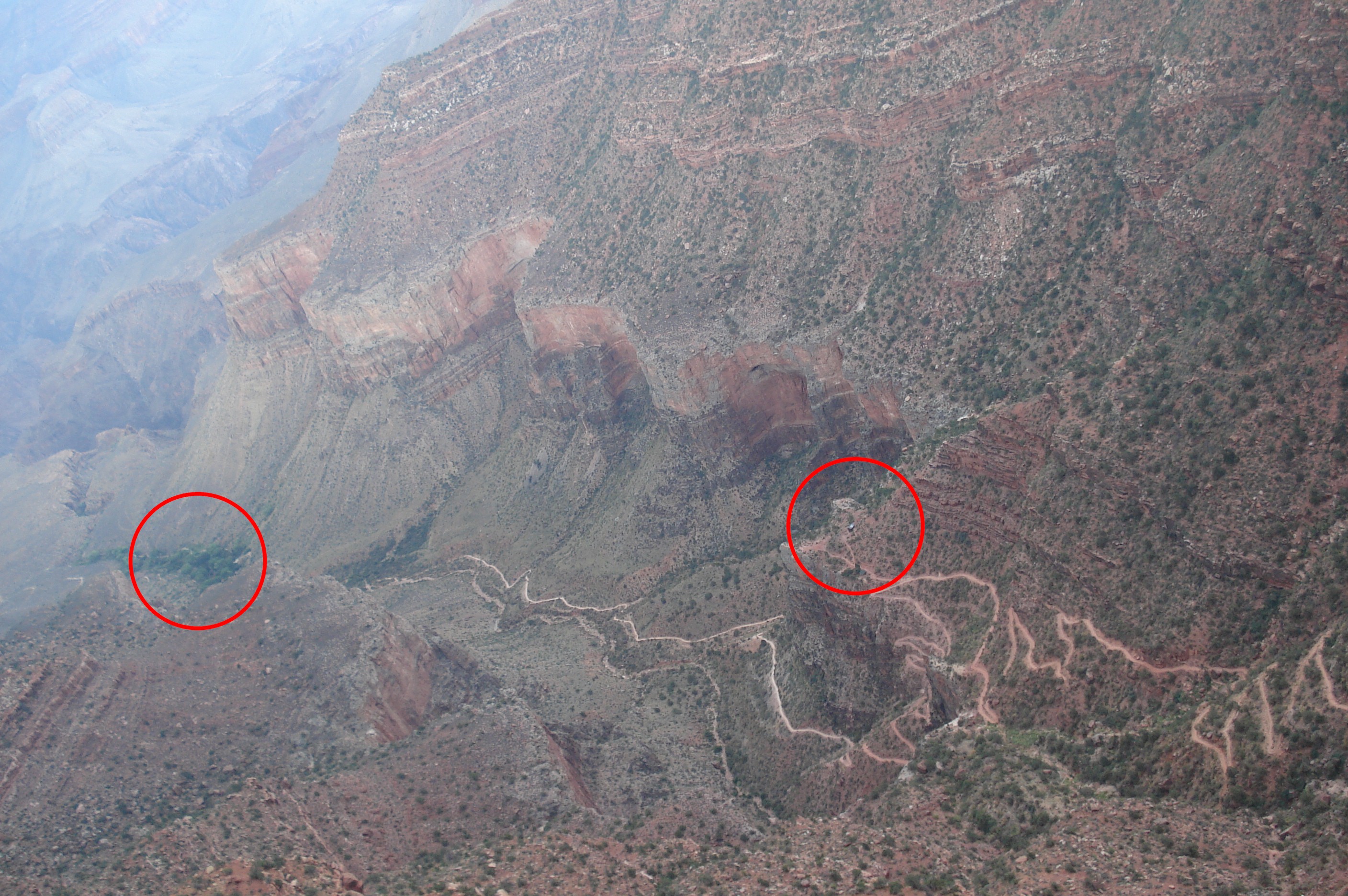
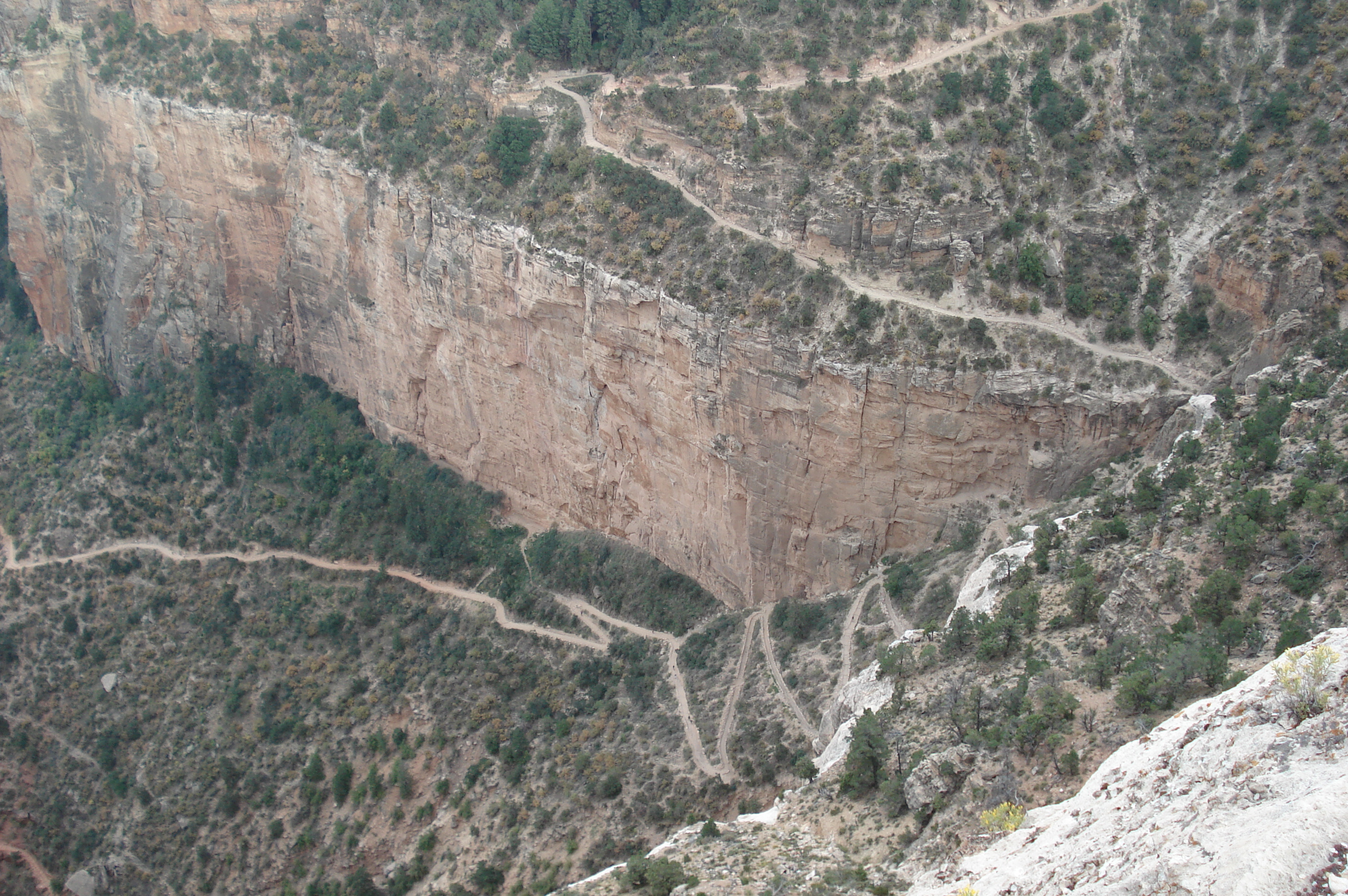
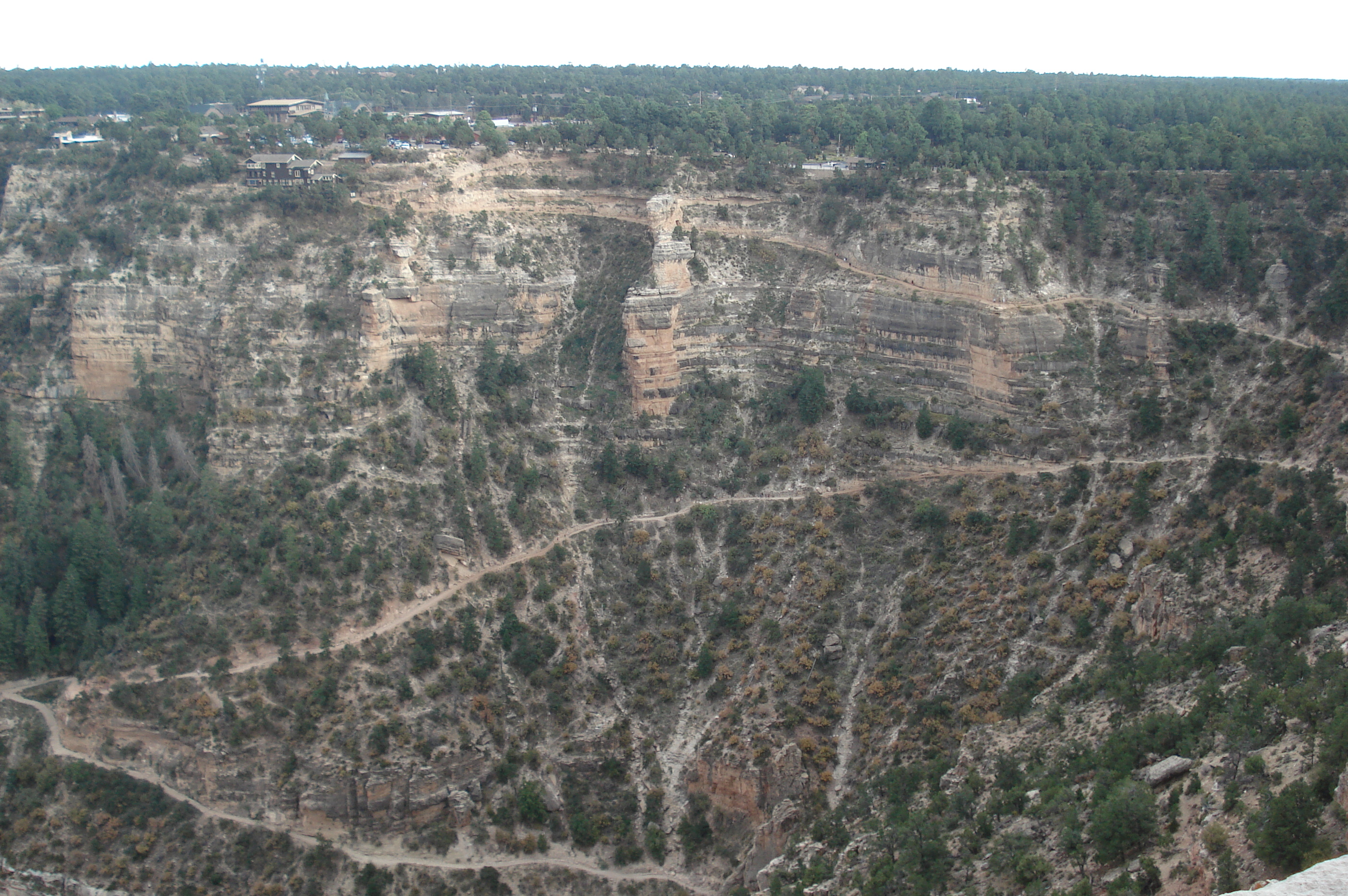
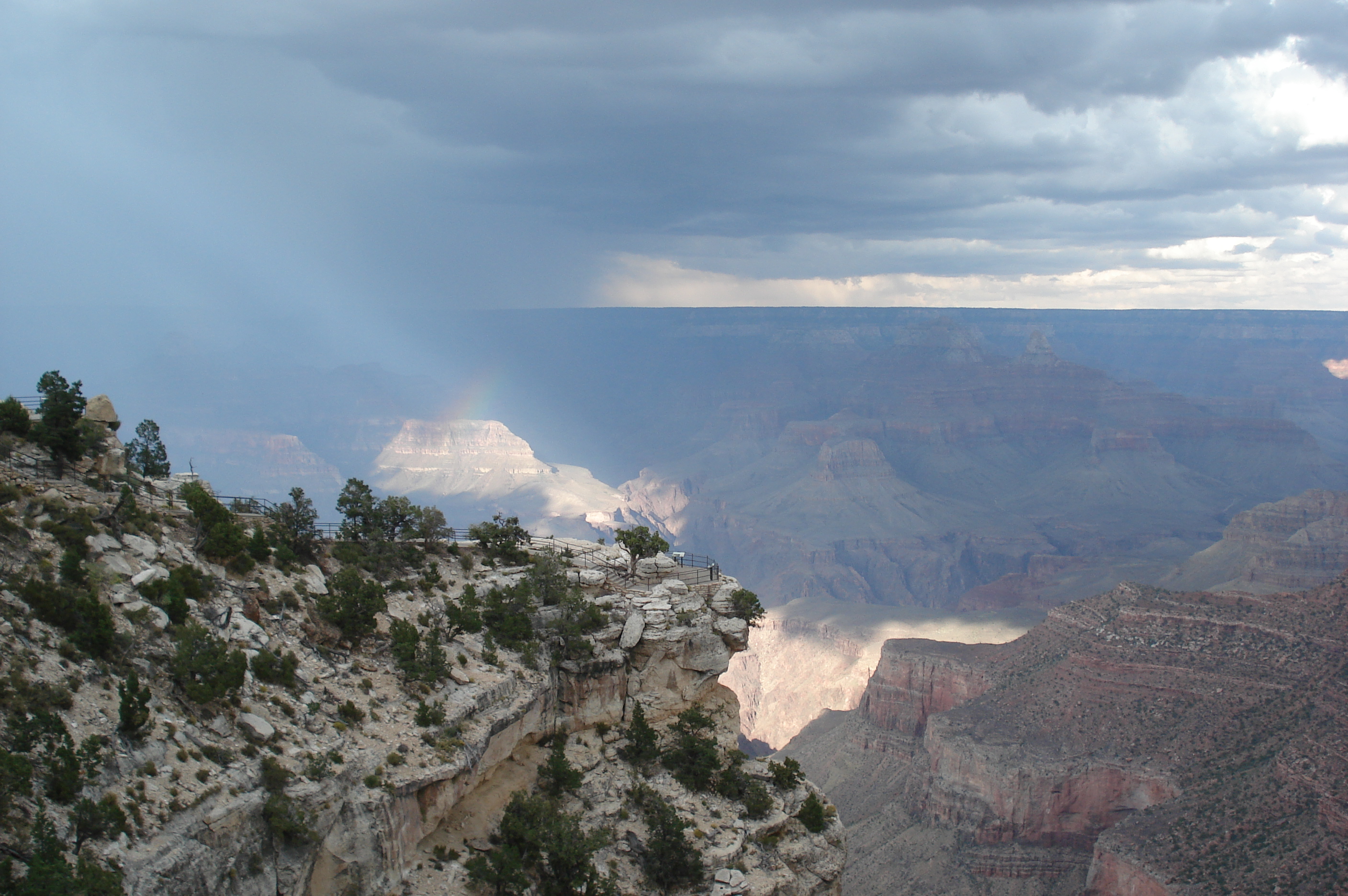
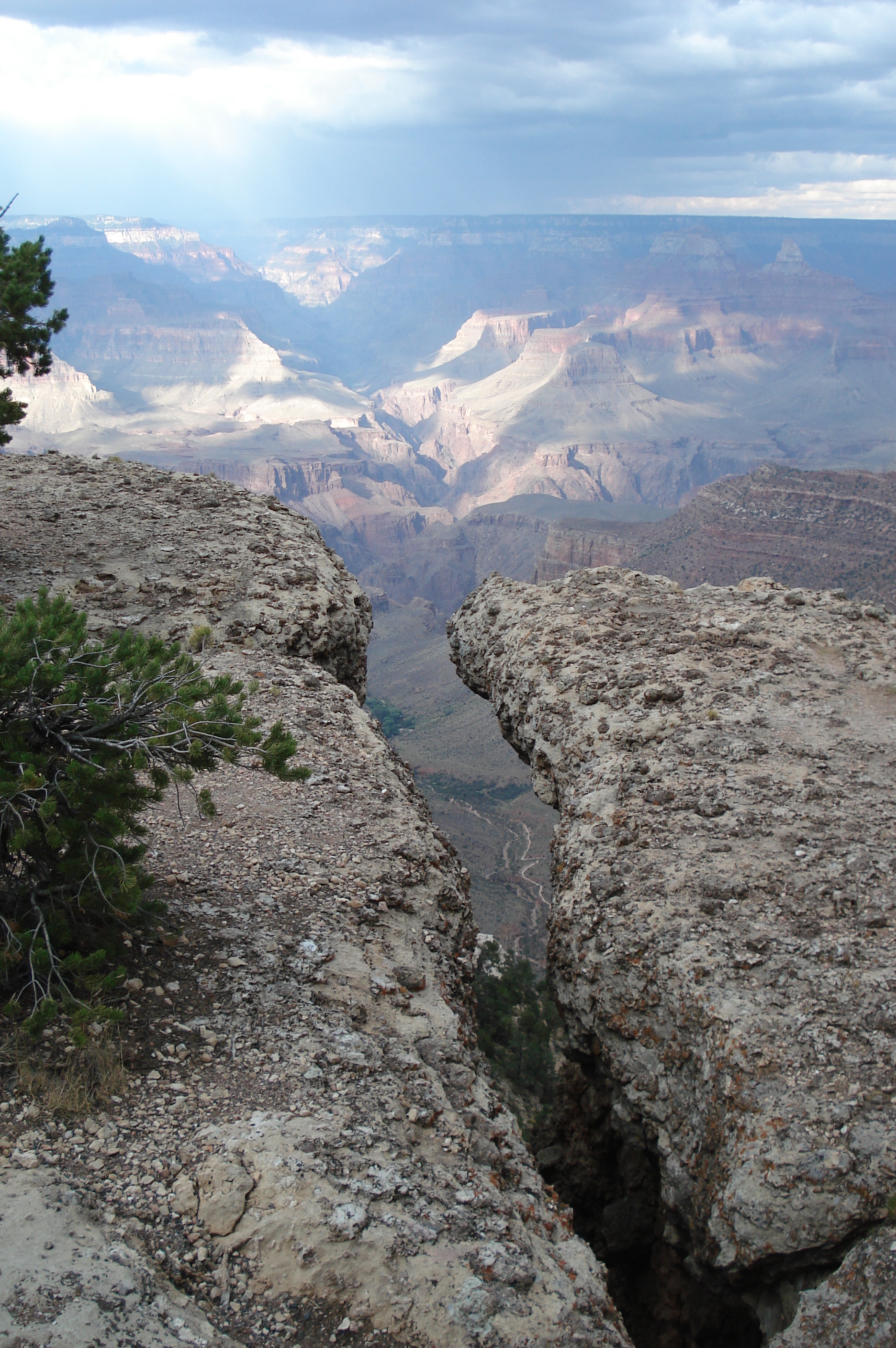
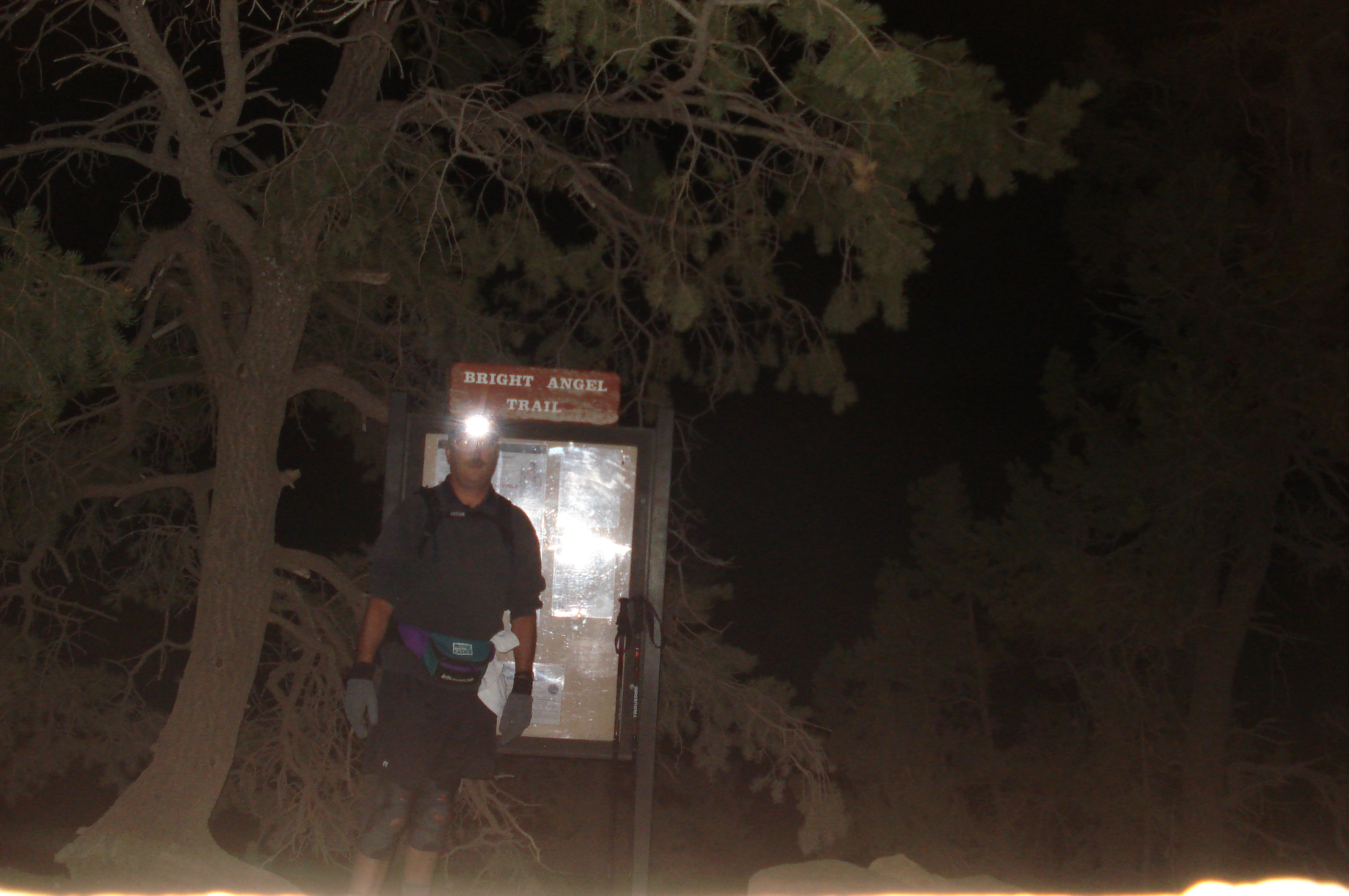
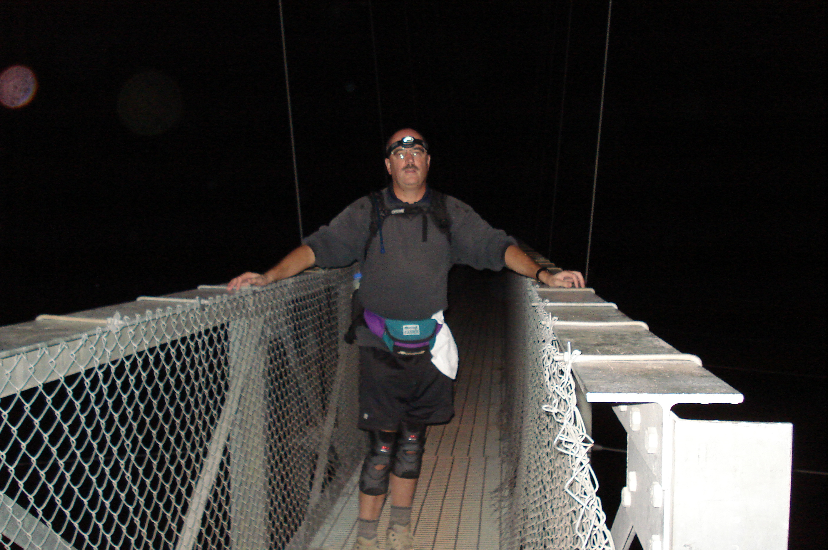
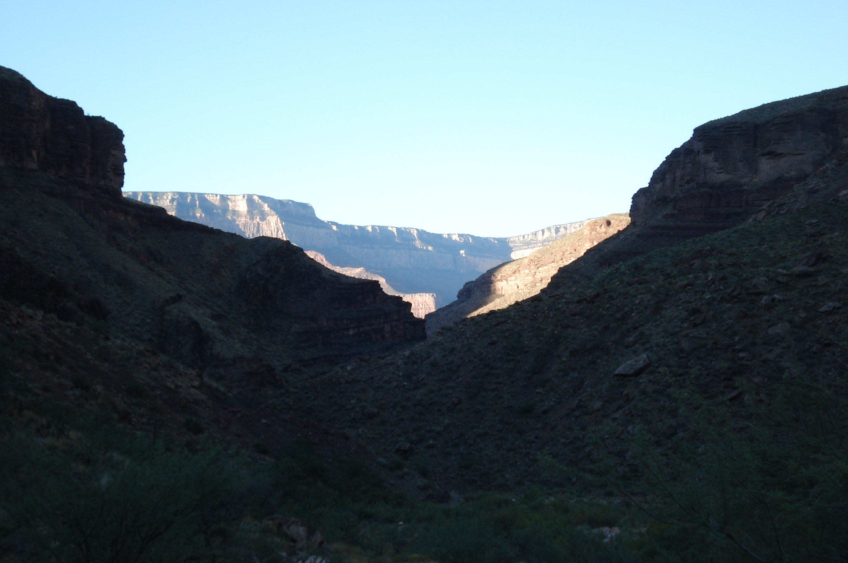
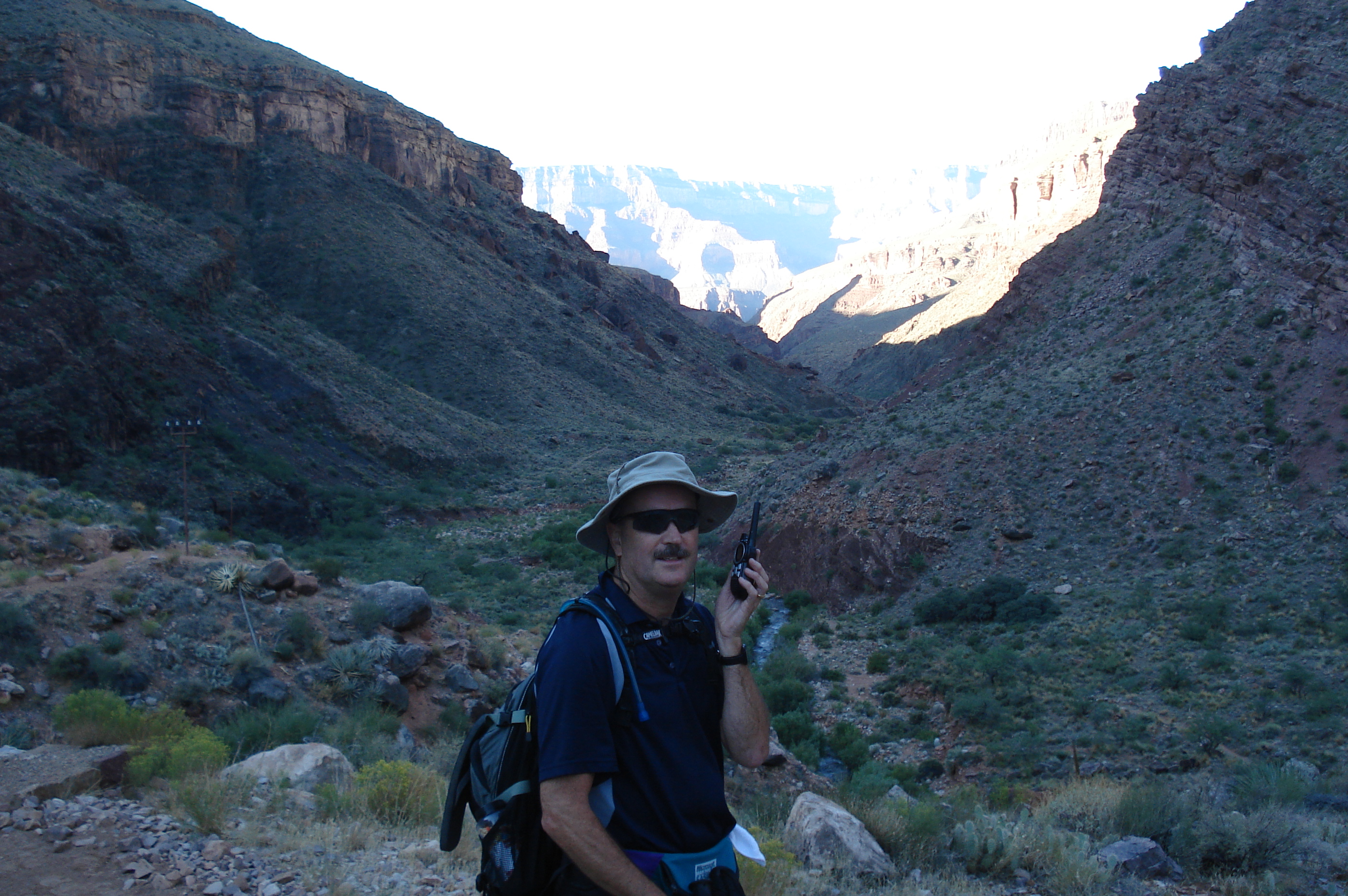
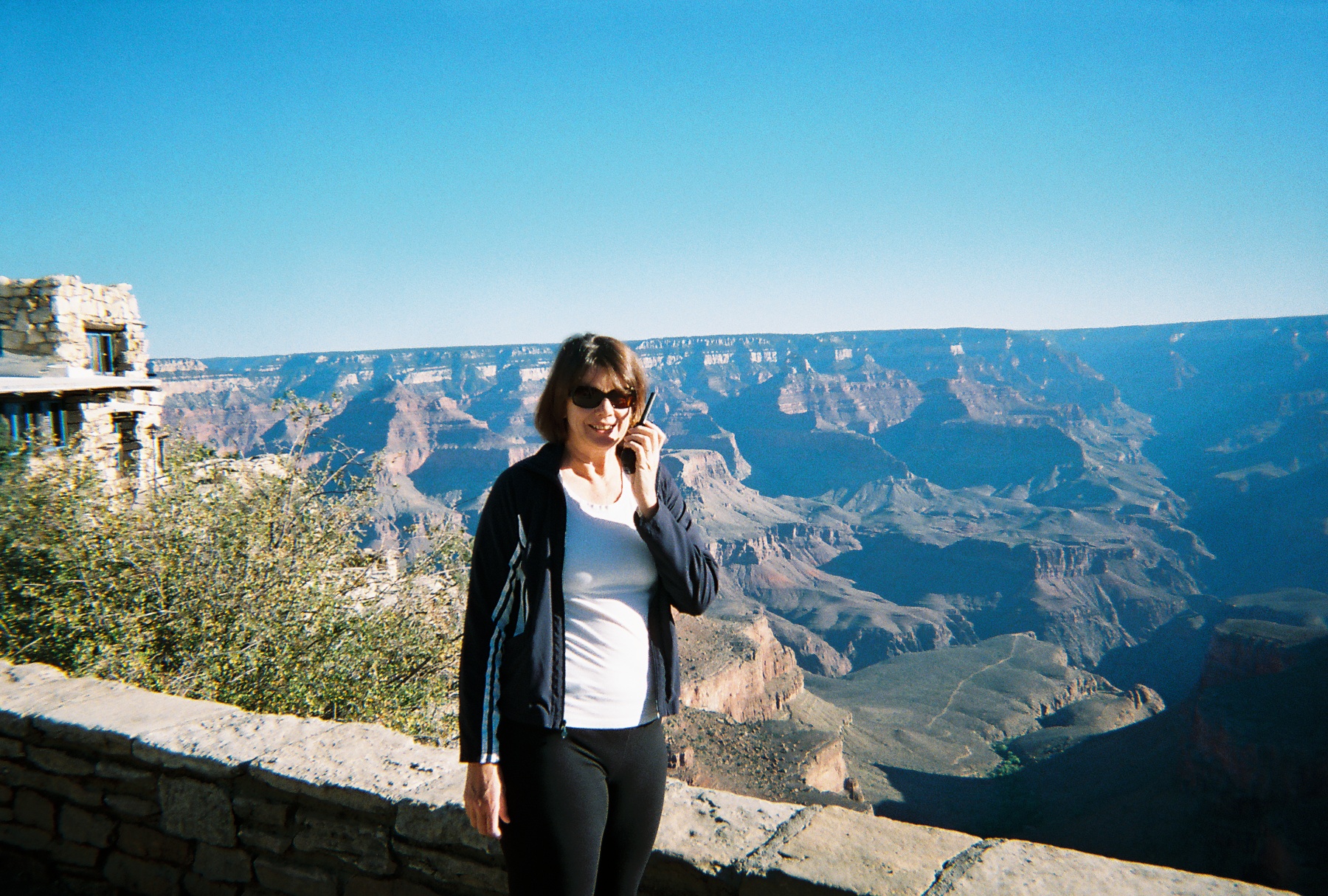
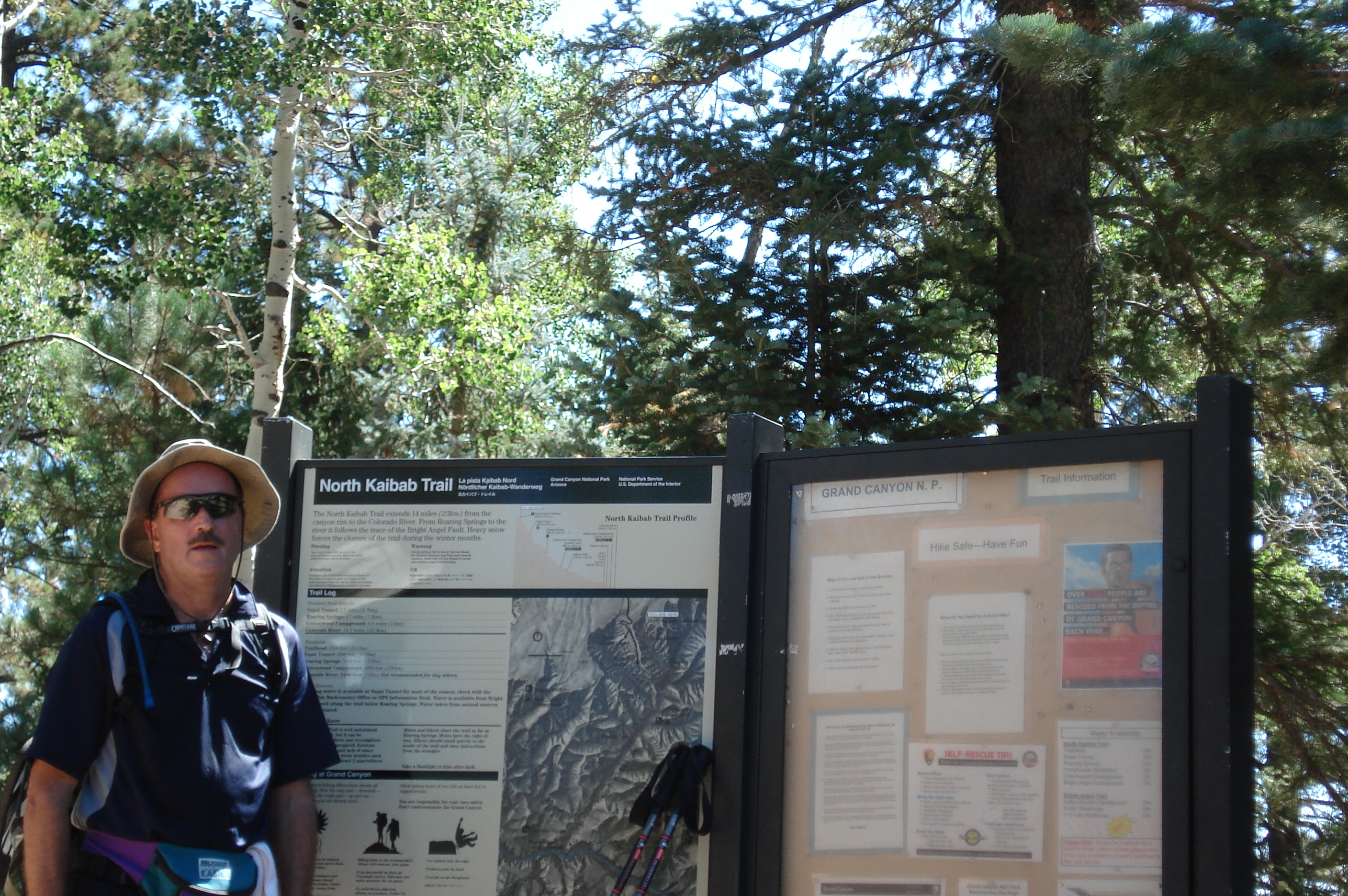
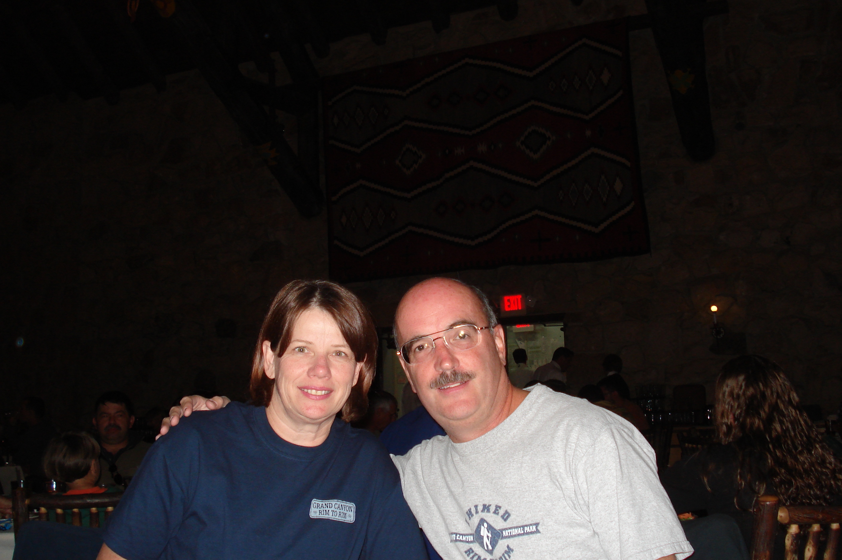
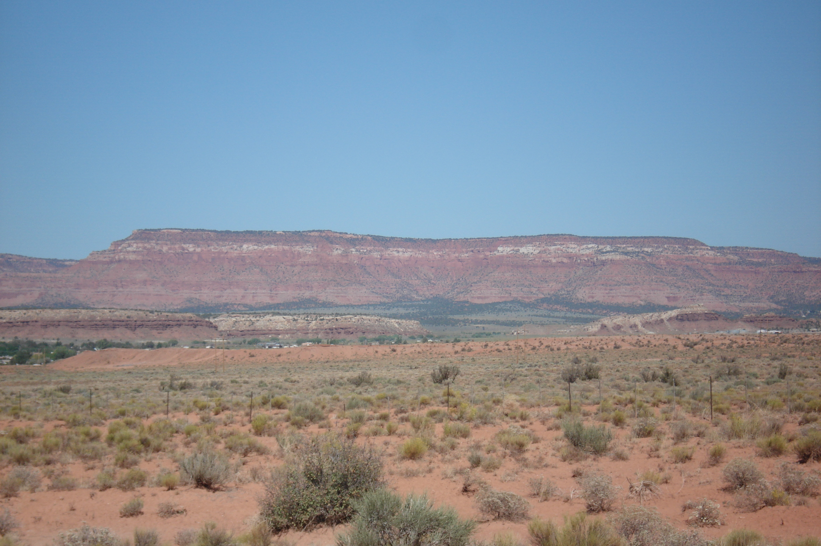
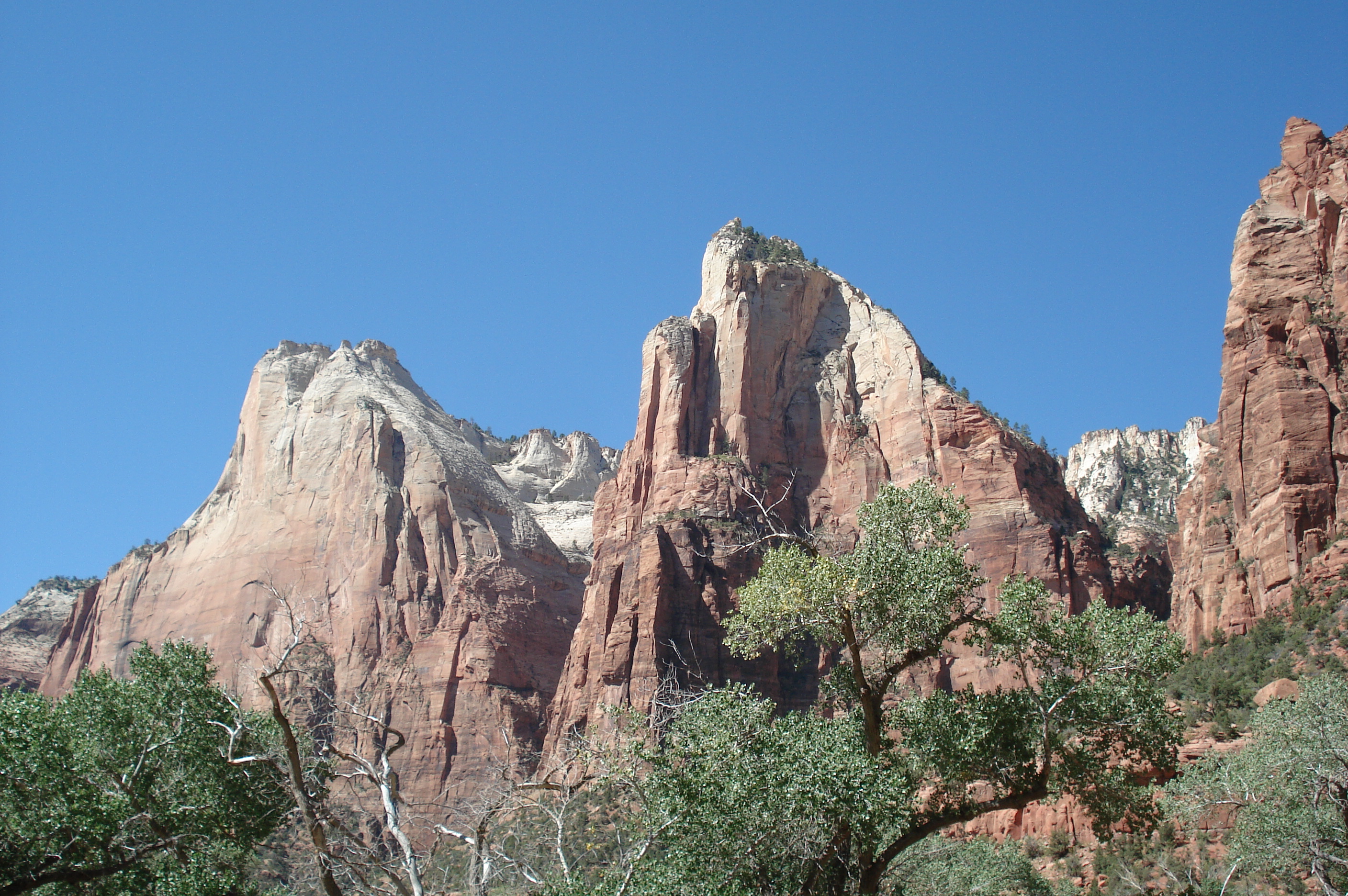
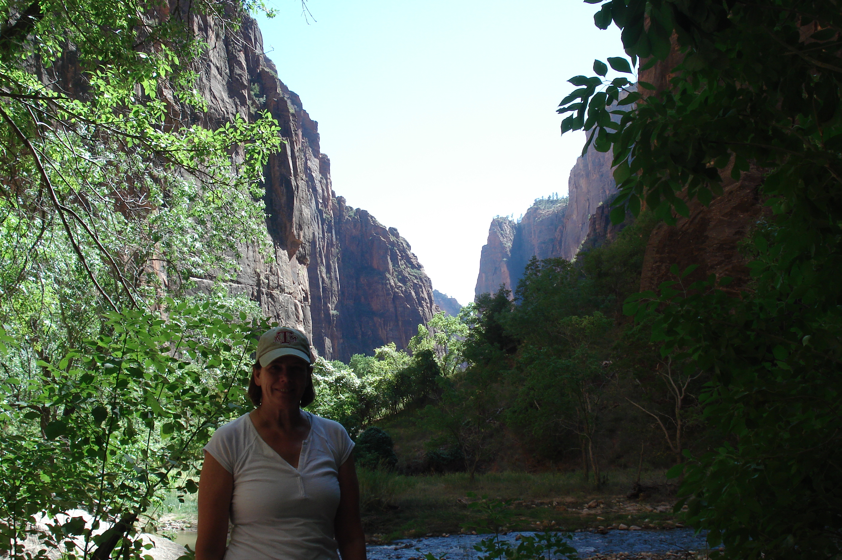
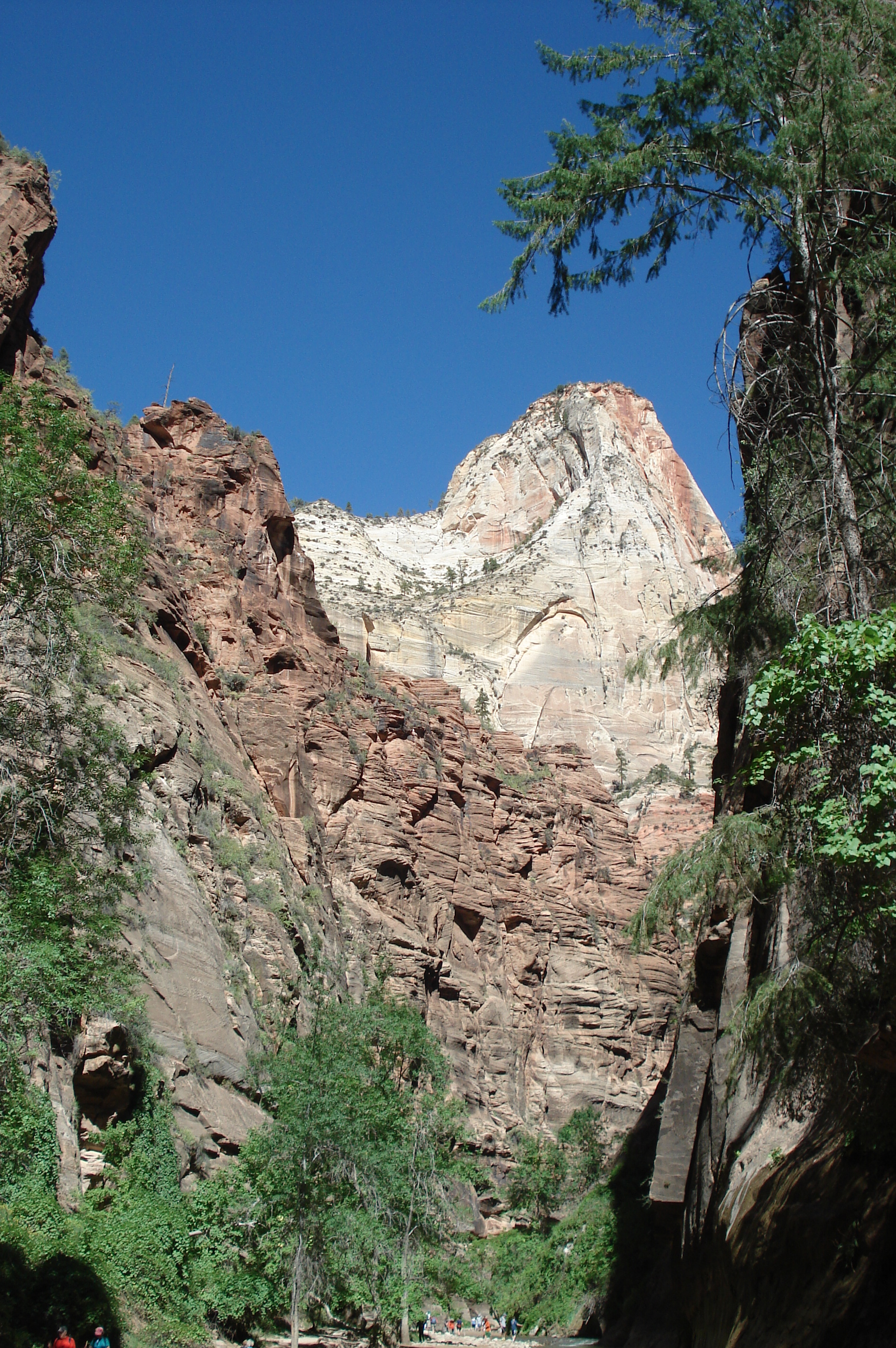
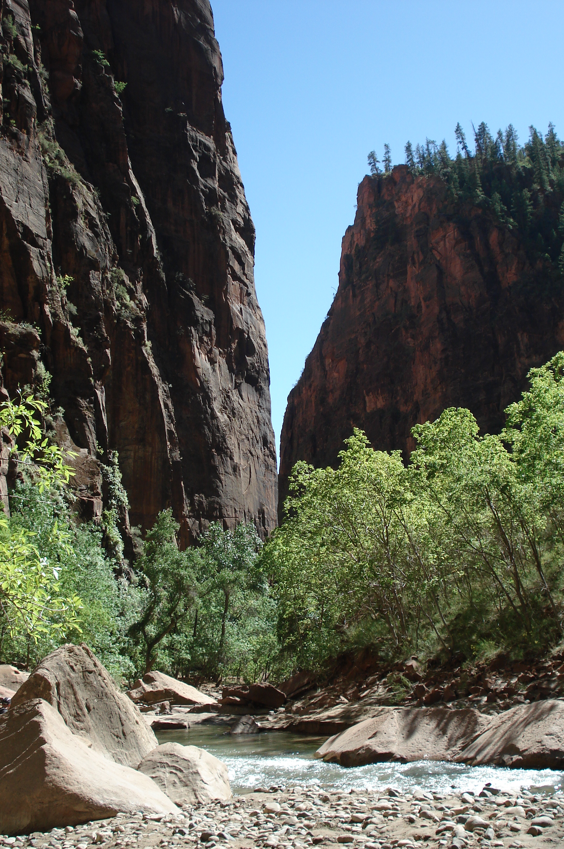
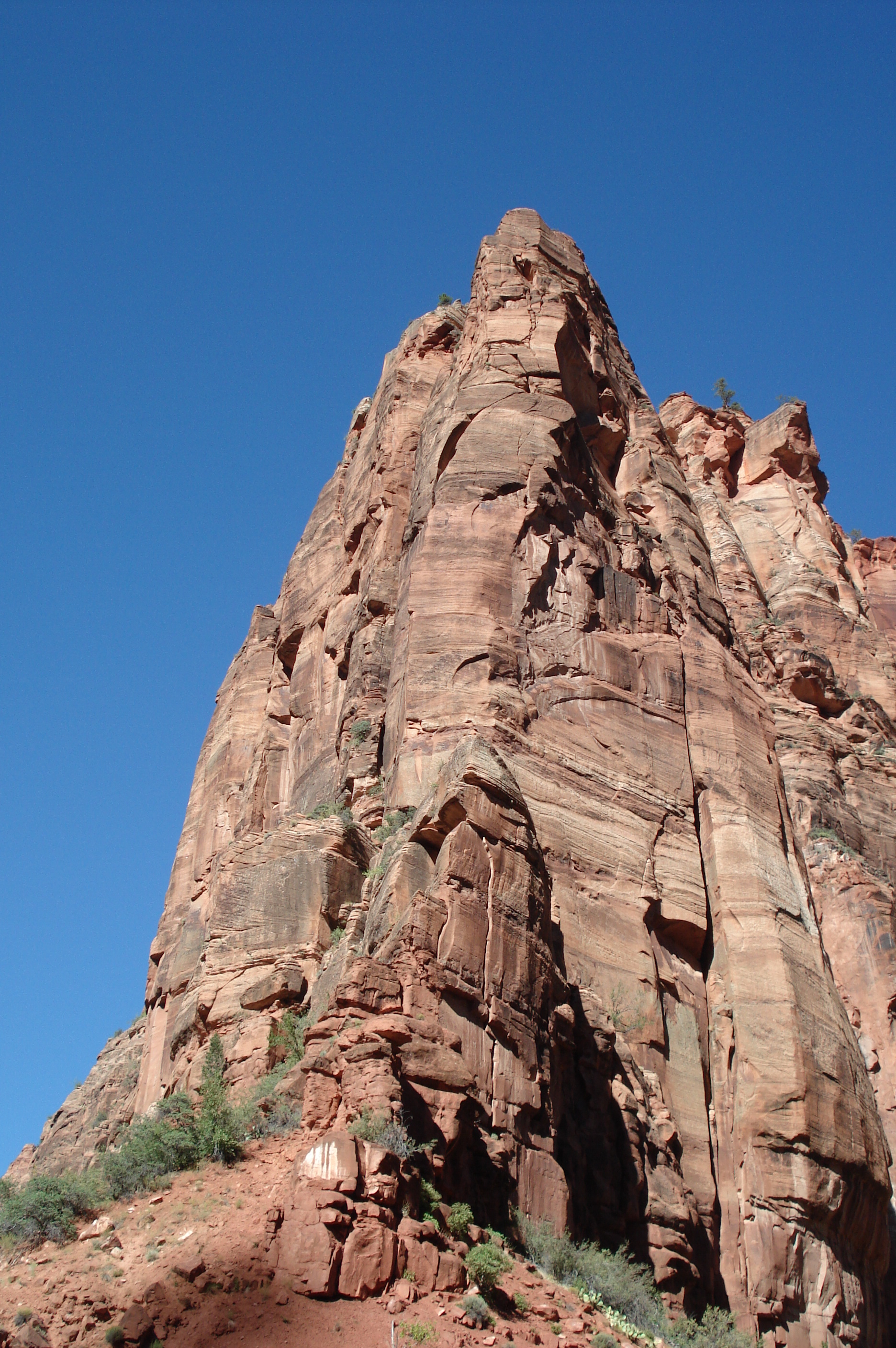
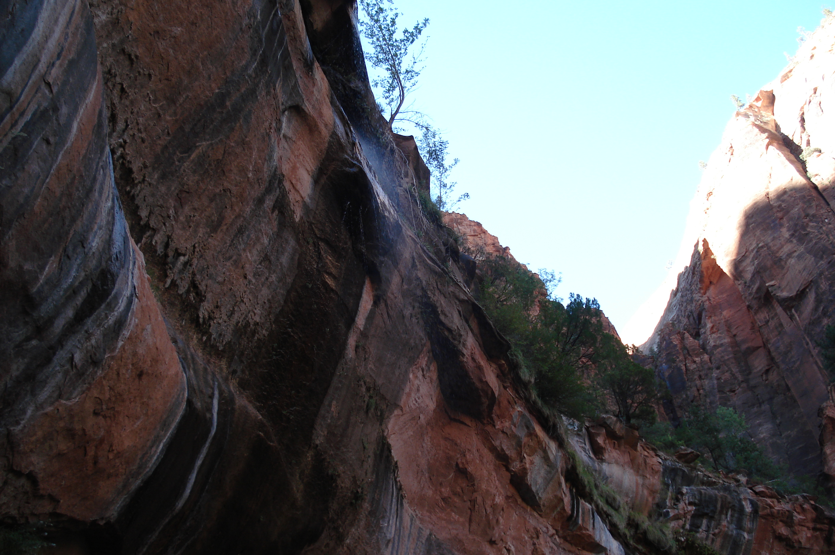
Here are a few photos from our trip to the Grand Canyon in September 2010, when we hiked both ways across the canyon.

We started our trip at Jacob Lake where we stayed in a cabin amongst the trees. The Grand Canyon from Cape Royal at the North Rim. Janice at Cape Royal. One day this arch will widen and the whole overlook will become part of the canyon.
We walked out to Cape Final to stretch our legs before our big hike the next day. The canyon from Point Imperial, the highest elevation on the North Rim. Sunset from the North Rim, looking down our route for the next day. We were at the trailhead at first light, ready to start our big hike.
The Supai Tunnel is the first main landmark on the North Kaibab trail. Looking down from below the Supai Tunnel, you can see how the trail switchbacks down Roaring Springs Canyon. The spectacular first bridge over the creek. The trail is pretty exposed as it winds down Roaring Springs Canyon.
All the water used at the South Rim comes from Roaring Springs in a pipeline that pretty much follows the trail. A waterfall near the Cottonwood campground. Looking back up the trail from around Cottonwood..... ..... and looking ahead it's a long way to the South Rim.
We stopped for lunch below Cottonwood, where the trail turns into Bright Angel Canyon. Bright Angel Canyon starts out wide...... ...... but soon becomes narrower with towering walls. The trail mostly follows Bright Angel Creek.
We were so pleased to reach Phantom Ranch after hiking for 14 miles. The story of Phantom Ranch. Phantom Ranch consists of a few buildings amongst the trees. Janice outside our cabin.
The accommodations were a little different from what we're used to, but we were just glad to have a cabin to ourselves. The Black Bridge crosses the Colorado and leads to the South Kaibab trail. The Black Bridge. Next morning we crossed the Silver Bridge to reach the Bright Angel trail.
Charlie on the Silver Bridge. From the Bright Angel trail you can see both bridges. Sunrise on the Bright Angel trail. Looking East along the Colorado River at sunrise, the sun reflecting off a cloud of dust from a mule train.
The last view of the Colorado River before heading up the Bright Angel trail. We crossed Bright Angel Creek several times on the way up to the Indian Gardens campground. Viewed from Indian Gardens, the South Rim looks a long way away. Sometimes you just can't imagine how the trail will get you to the rim.
A great view looking back to the North Rim The second tunnel is about a mile from the South Rim trailhead. We were hot, tired and dusty long before we made it to the rim. Finally we could see the buildings near the trailhead and we knew we were almost there.
The first tunnel is just minutes from the rim. We made it! 24 miles from the North Rim to the South Rim. Our dinner tasted really good that night. A great view from the South Rim, showing where we'd hiked (and Charlie's return route).
From Trailview Overlook, you can see the whole Bright Angel trail. This view shows the trail from Indian Gardens to the 3-mile rest house. From the 3-mile rest house to the 1.5-mile rest house. The trail above the 1.5-mile rest house. The last long switchbacks before the trailhead.
After a storm cleared, we saw a great rainbow. A view of "our" trail from close to Trailview Overlook. In the Visitor Center we found an interesting 3D display of "our" trail. Charlie started out his return hike long before sunrise......
......and it was still dark when he crossed the river on the Silver Bridge. Looking back to the South Rim at sunrise, from the North Kaibab trail above Phantom Ranch. The "Transcanyon Telephone Line" needs some maintenance. We brought walkie-talkies so Charlie was able to tell Janice where he was on the trail.....
...... and Janice was able to tell Charlie what she'd had for breakfast. This squirrel was very impressed with Janice's story. Finally Charlie made it all the way to the North Rim trailhead: all 24 miles in one day. After Janice took the bus back from the South Rim to the North, we could have a relaxing drink or two.
We sat by a roaring fire at the North Rim lodge and told our story to the tourists. The Vermillion Cliffs above Fredonia, Arizona. We went to Zion National Park on our way home. "The Narrows" at the end of the main Zion Canyon.
Janice at the Narrows. We saw a lot of rock climbers on the canyon walls. The Virgin River. The Sentinel.
The "Big Bend" area of the park. The water flowing out of this cliff is between 800 and 1,200 years old. A small waterfall above Lower Emerald Pool. Lower Emerald Pool.

Charlie and Janice's home page

Last updated: 12/16/12 07:45 PM by Charlie Ashton