Charlie and Janice's home page

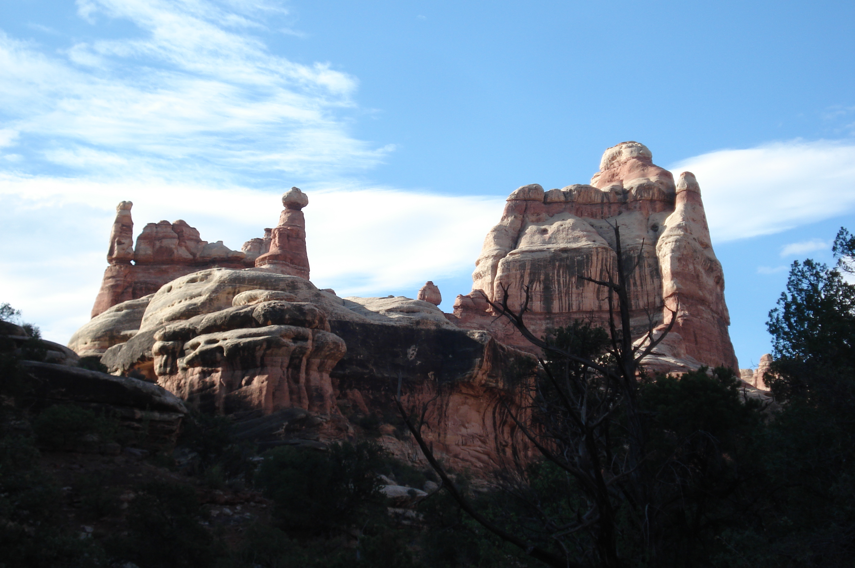
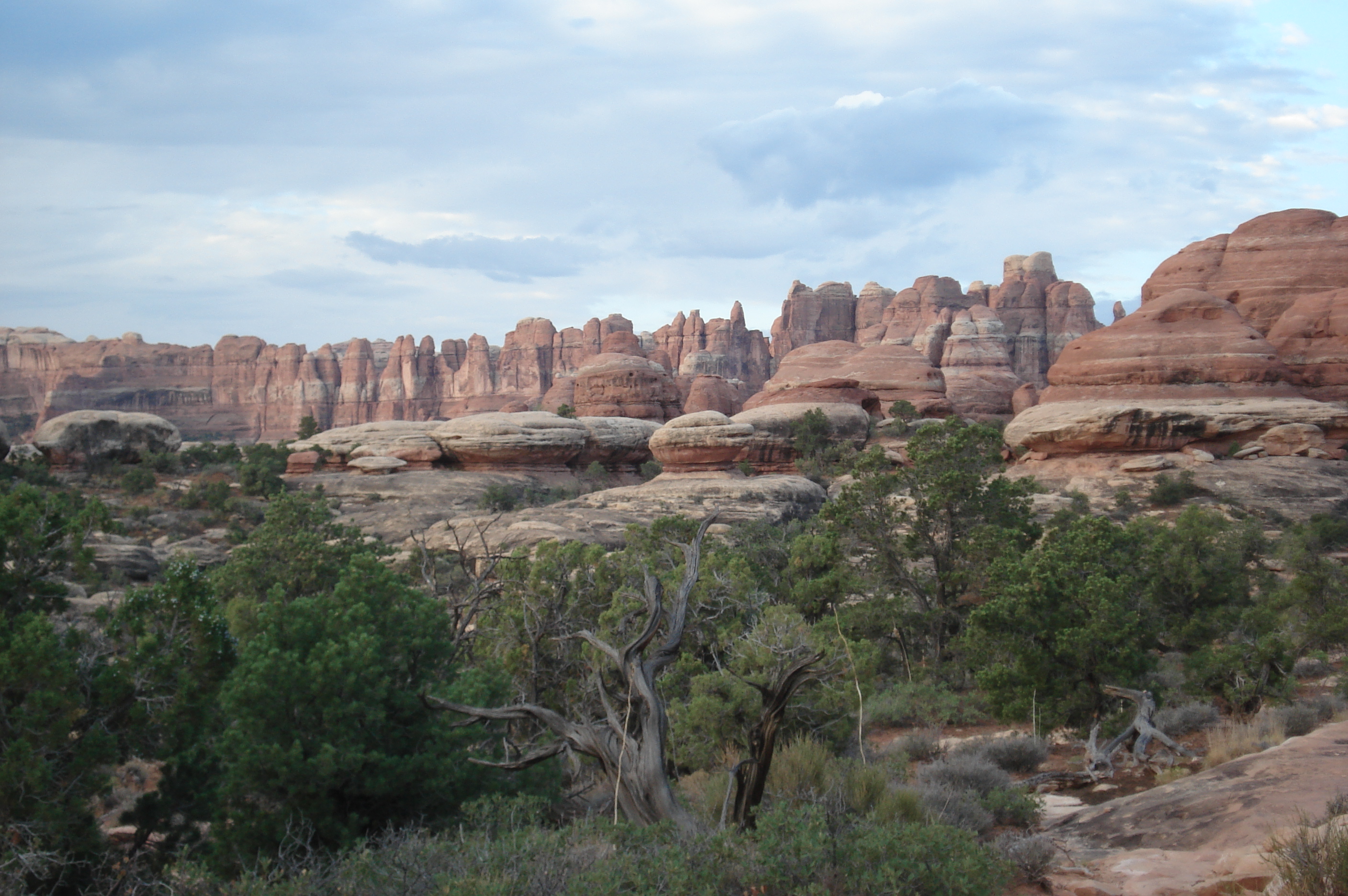
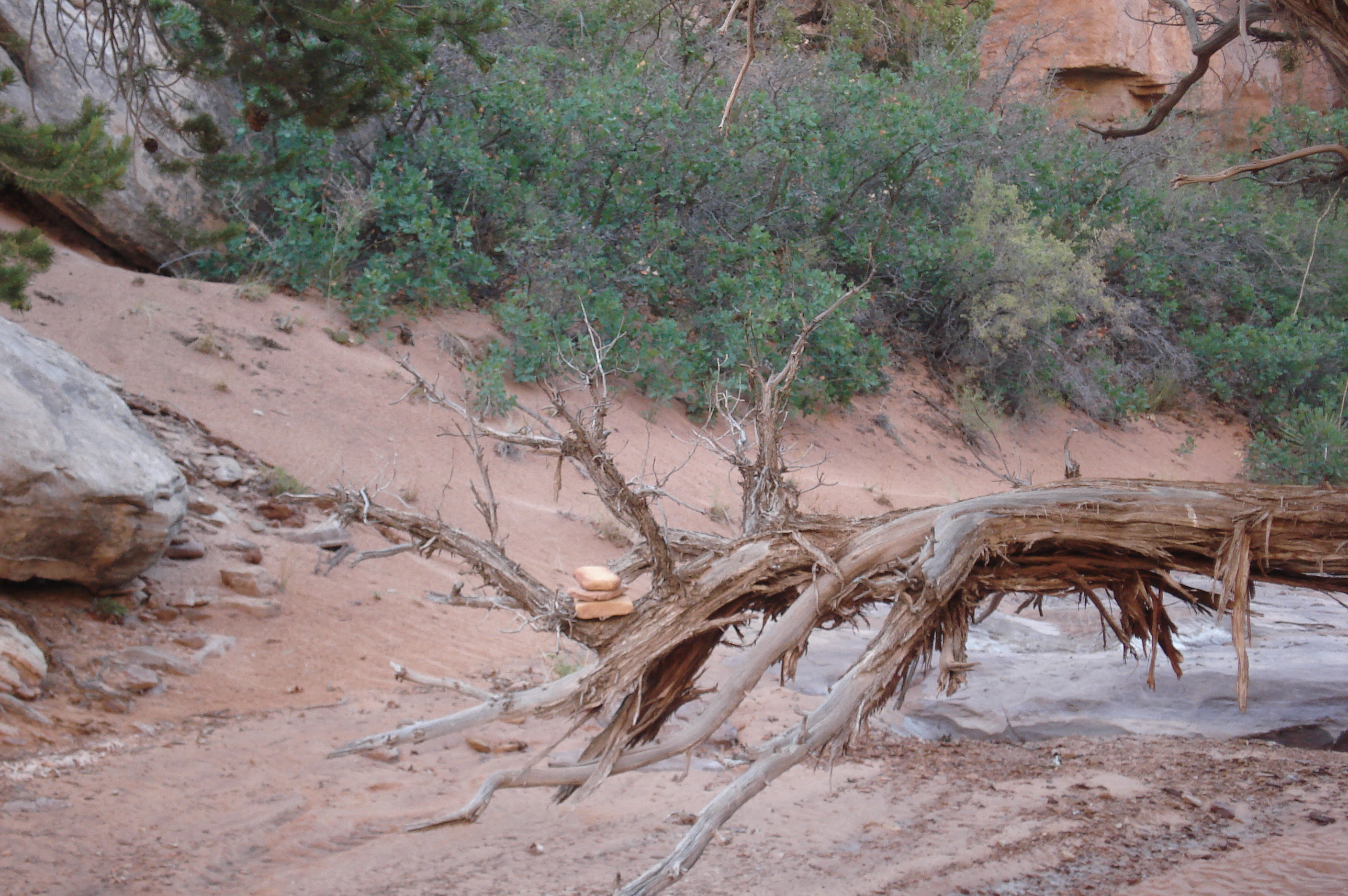
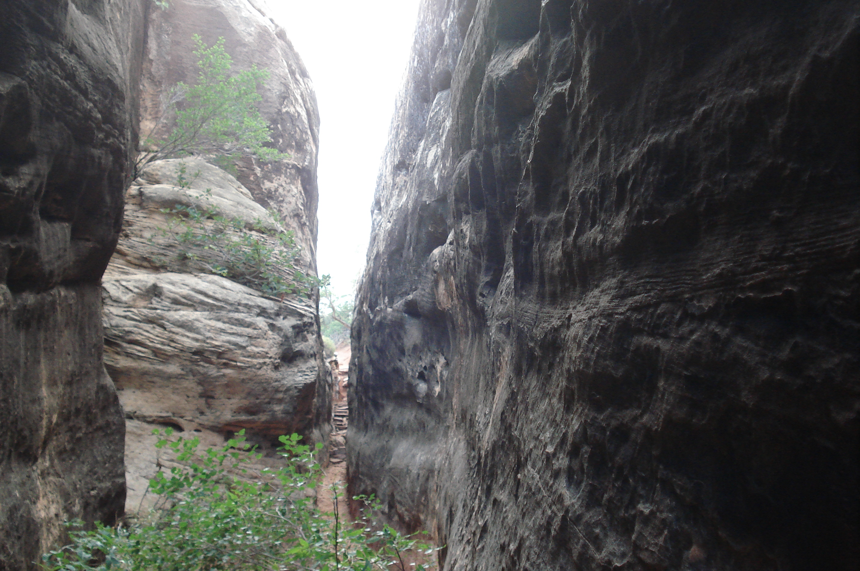
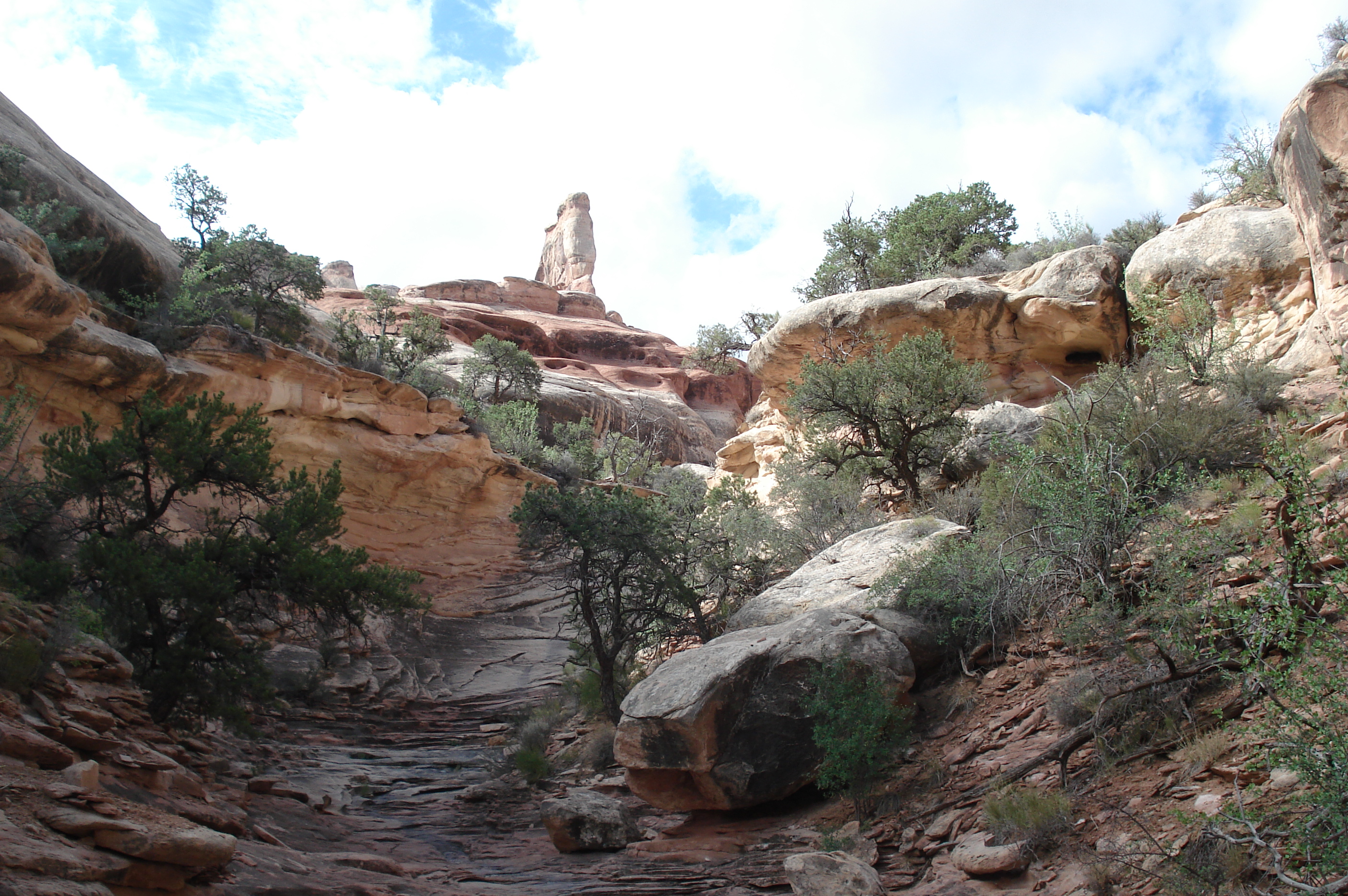
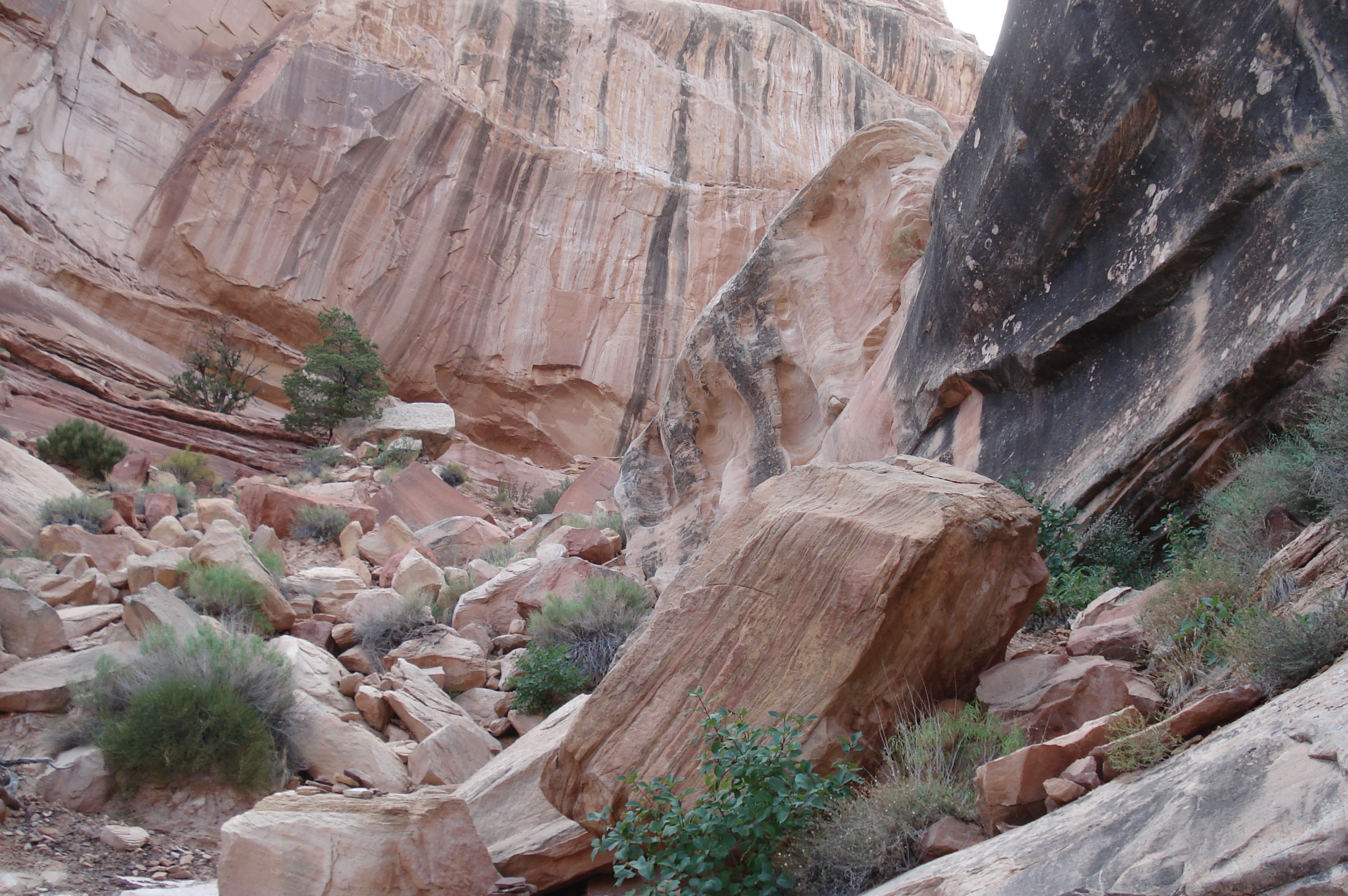
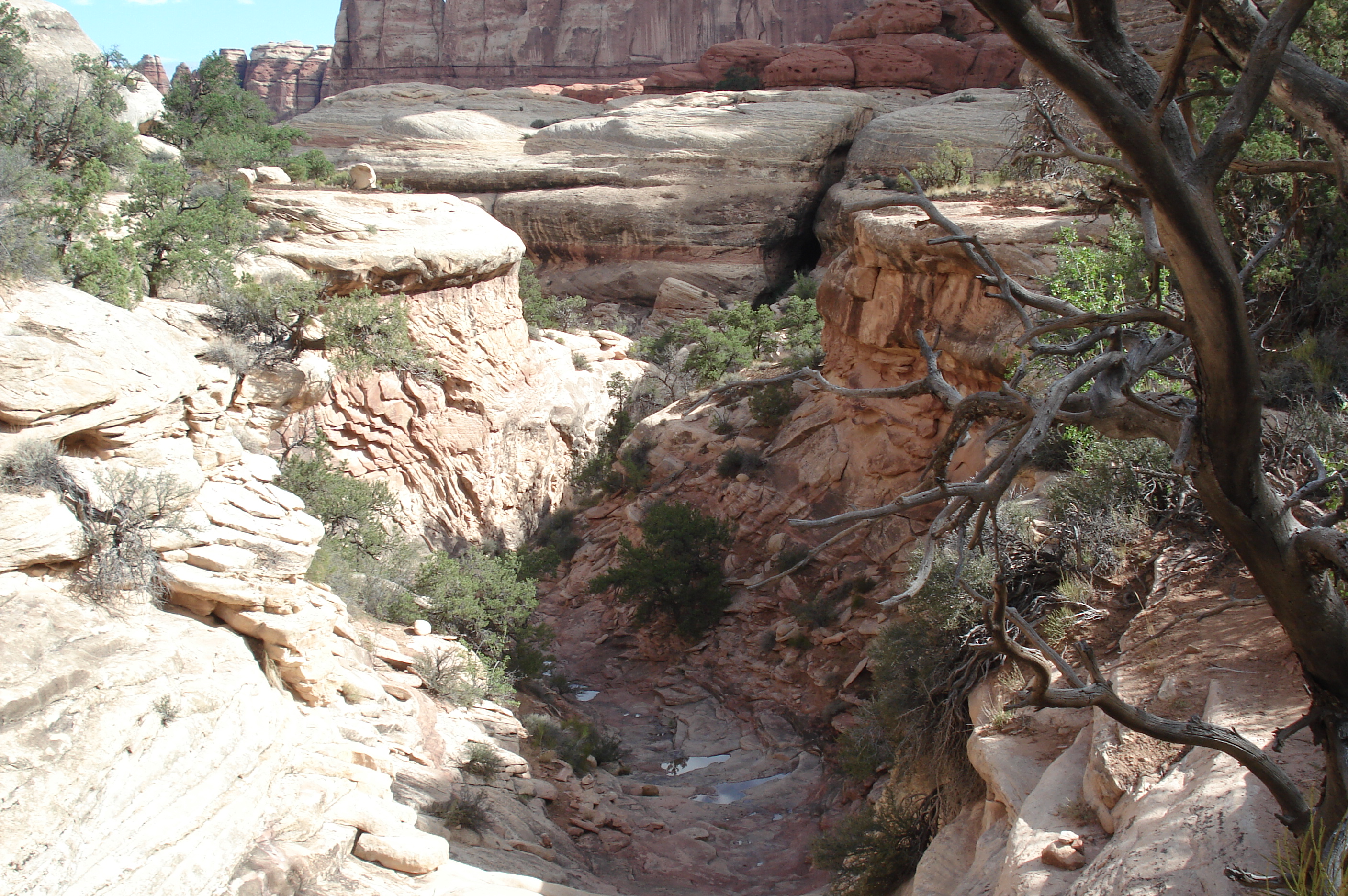
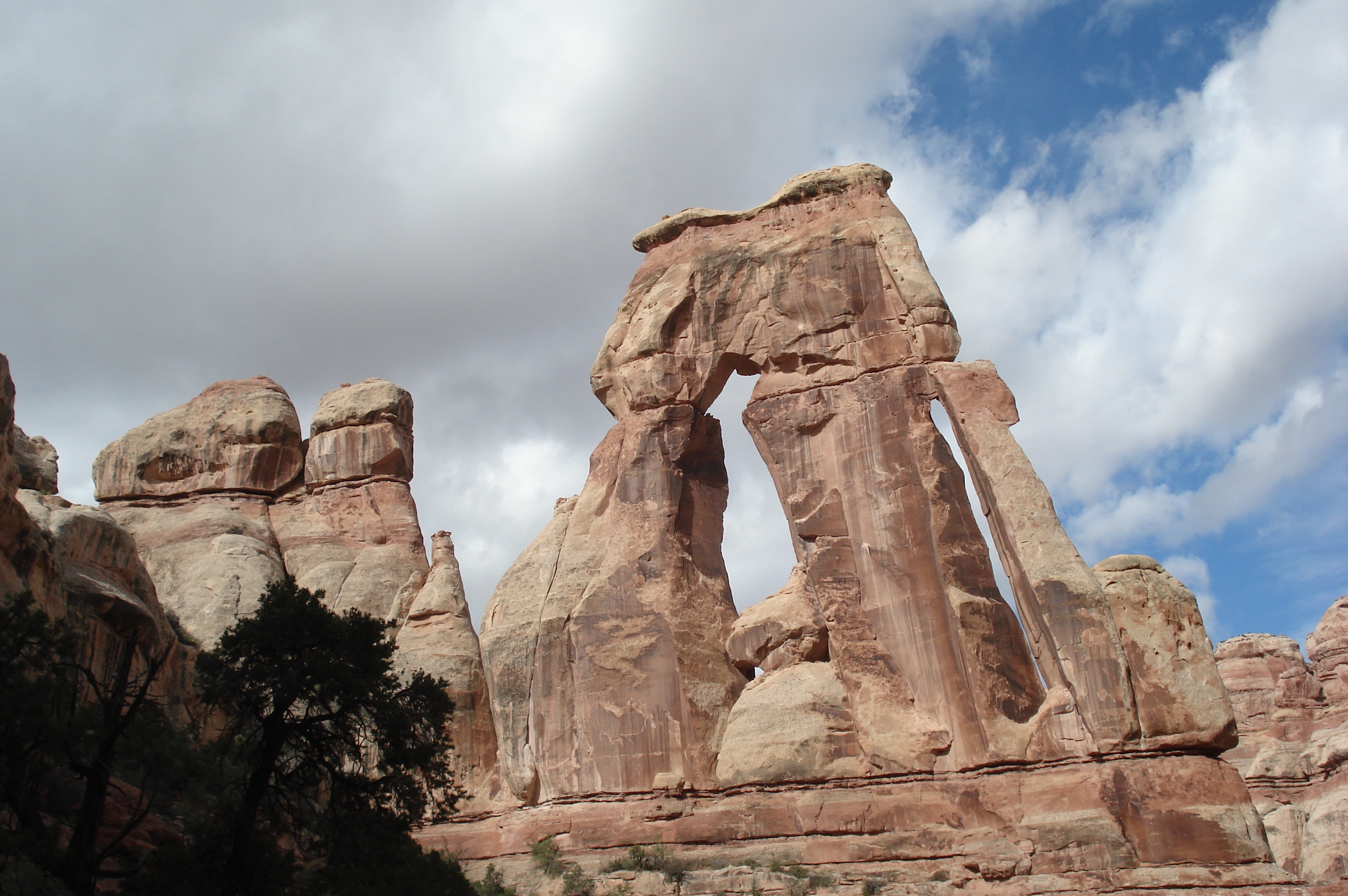
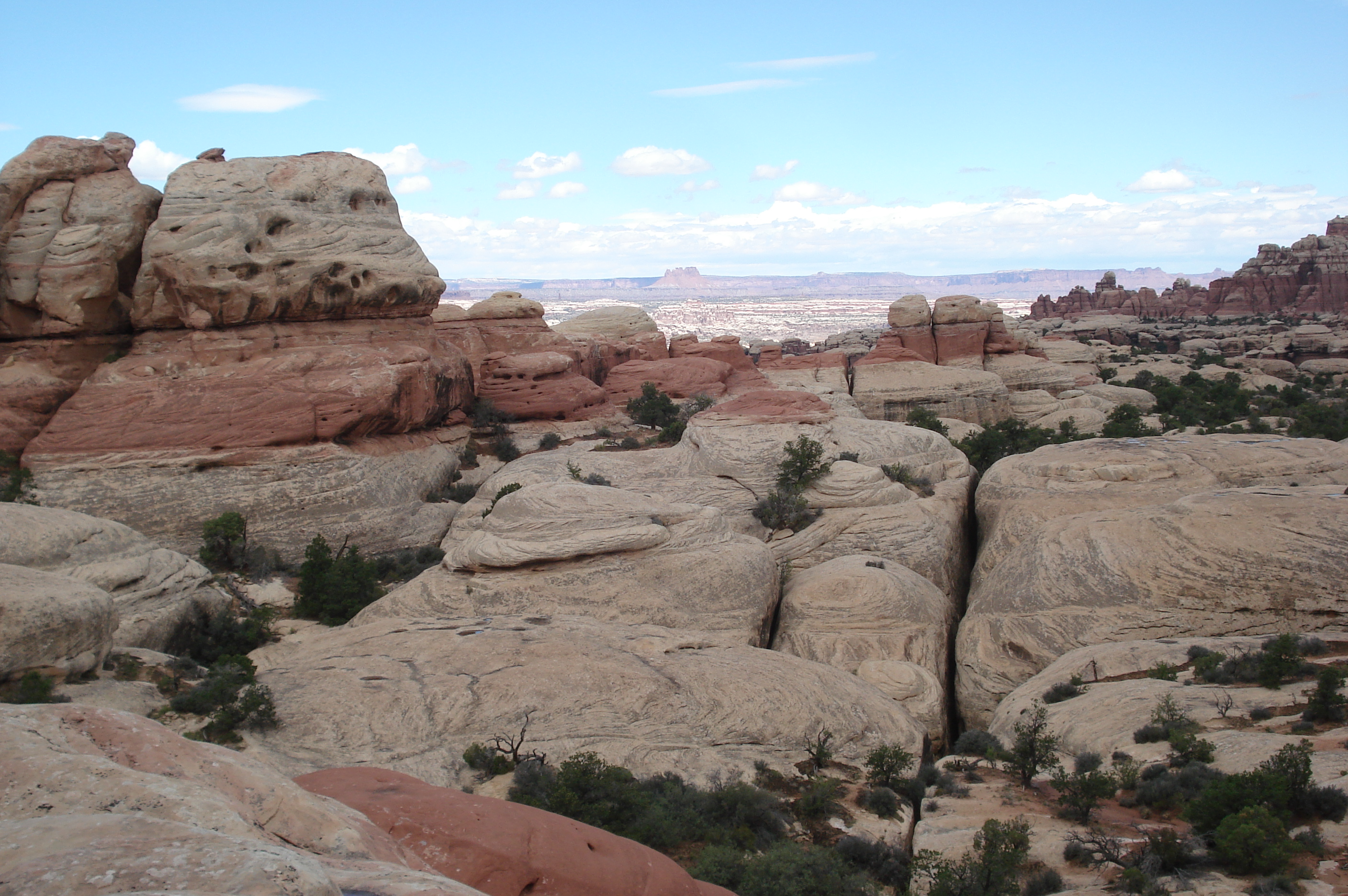
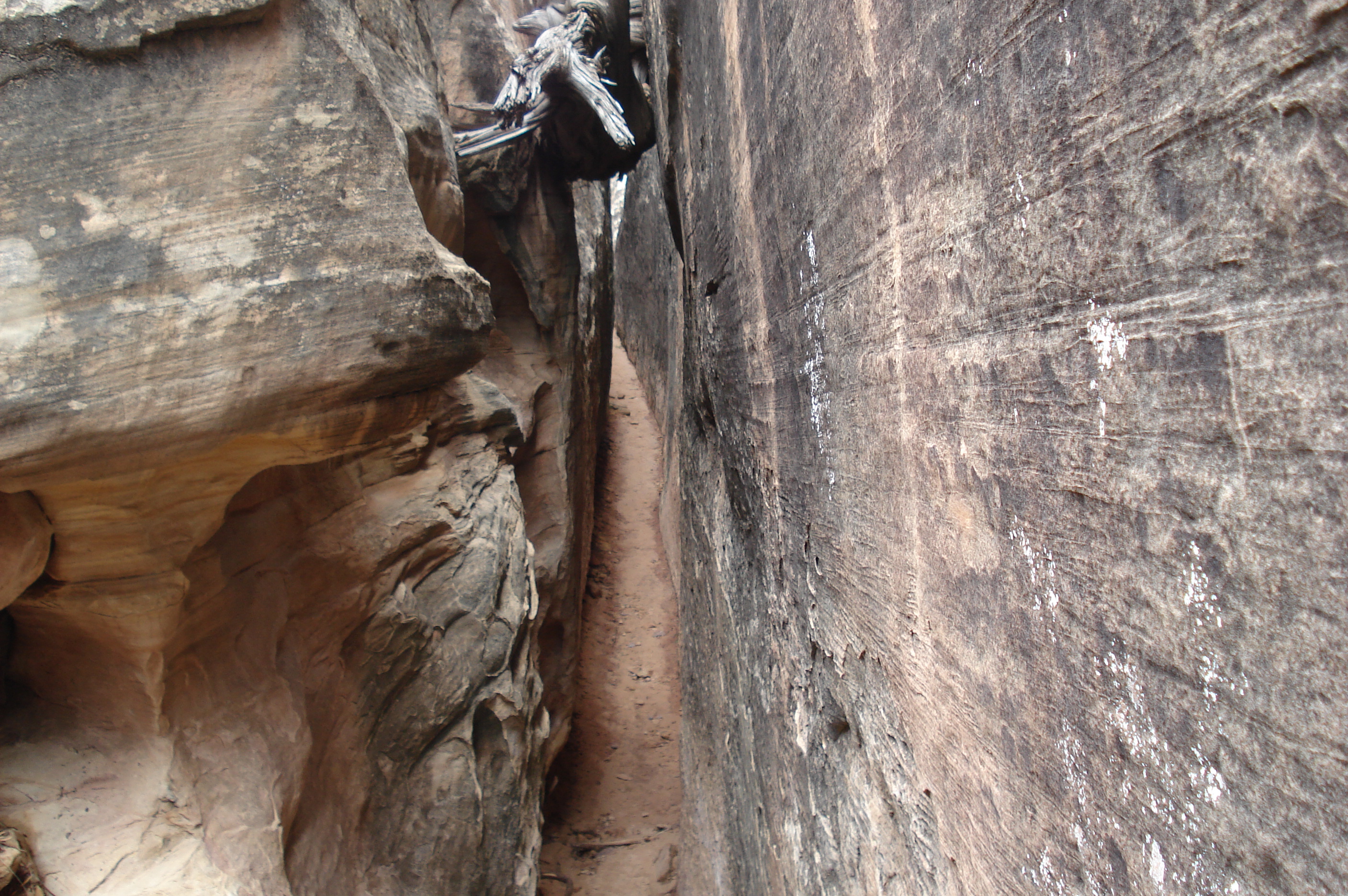
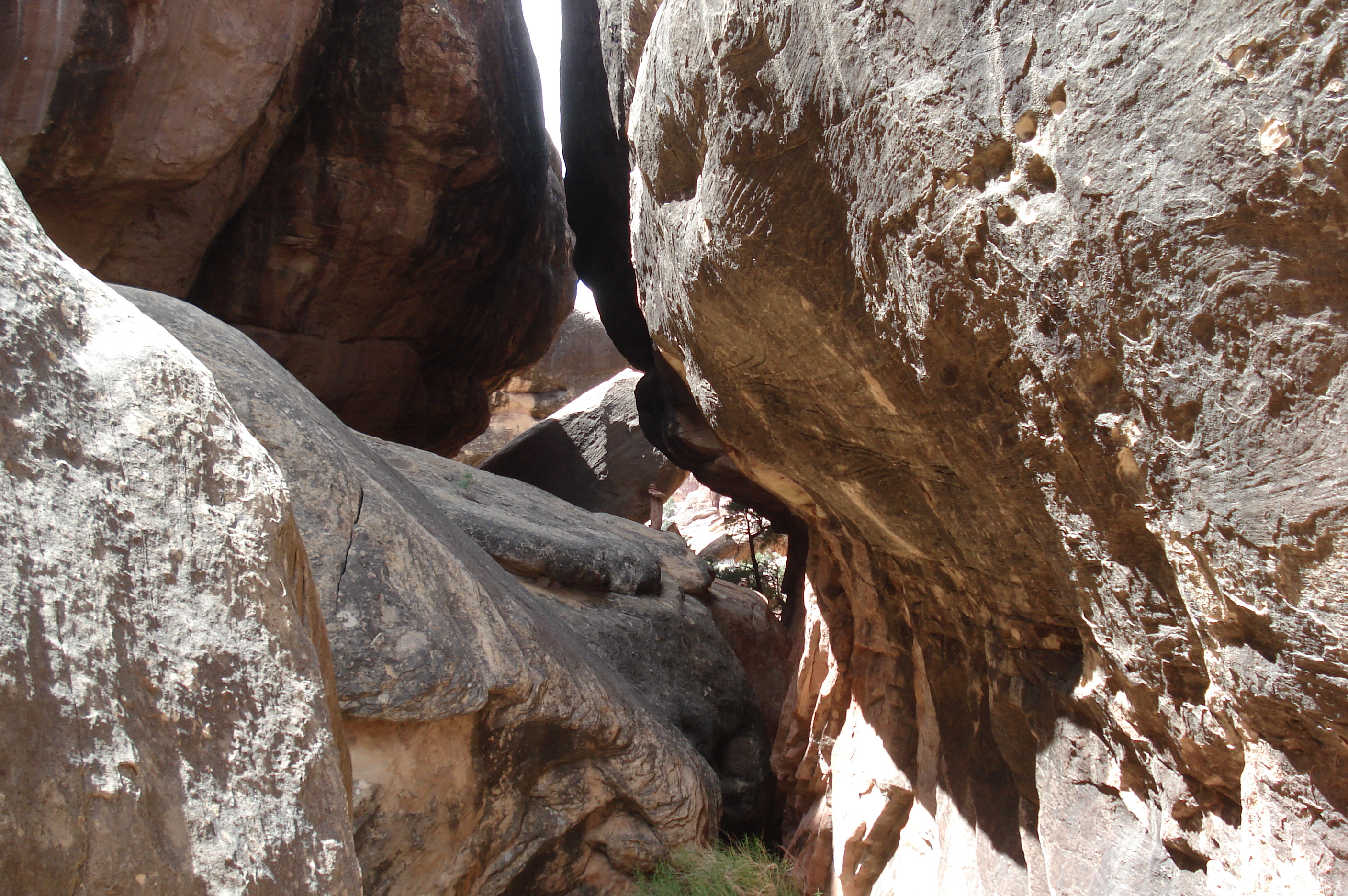
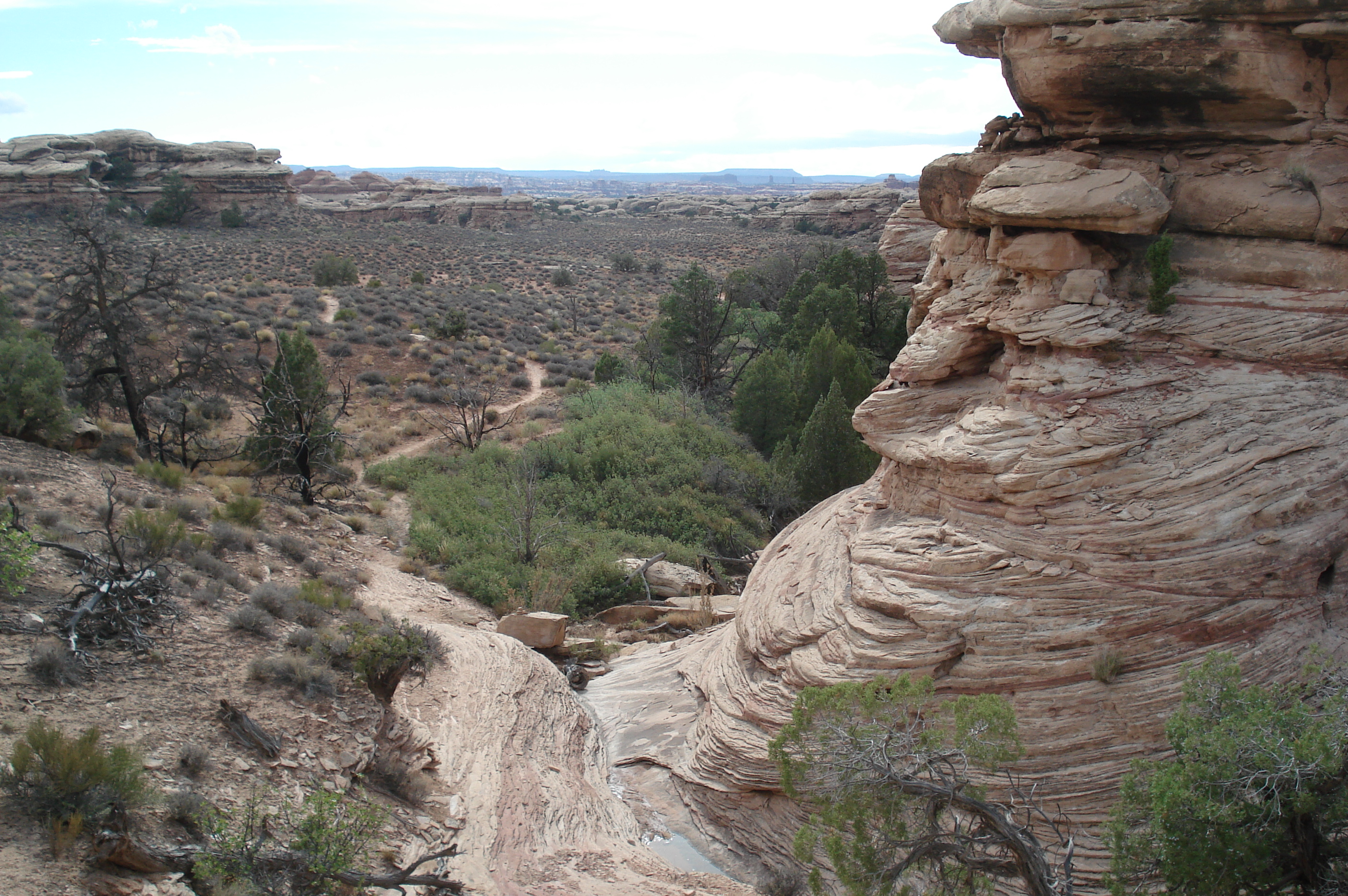
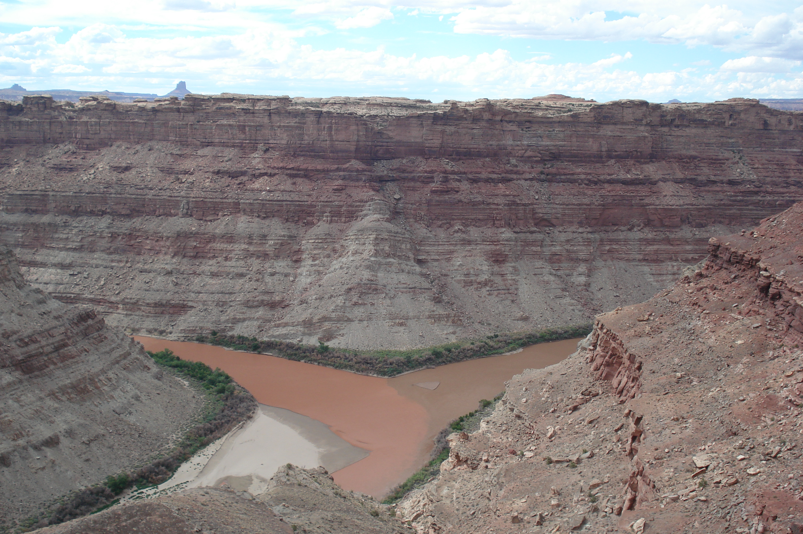
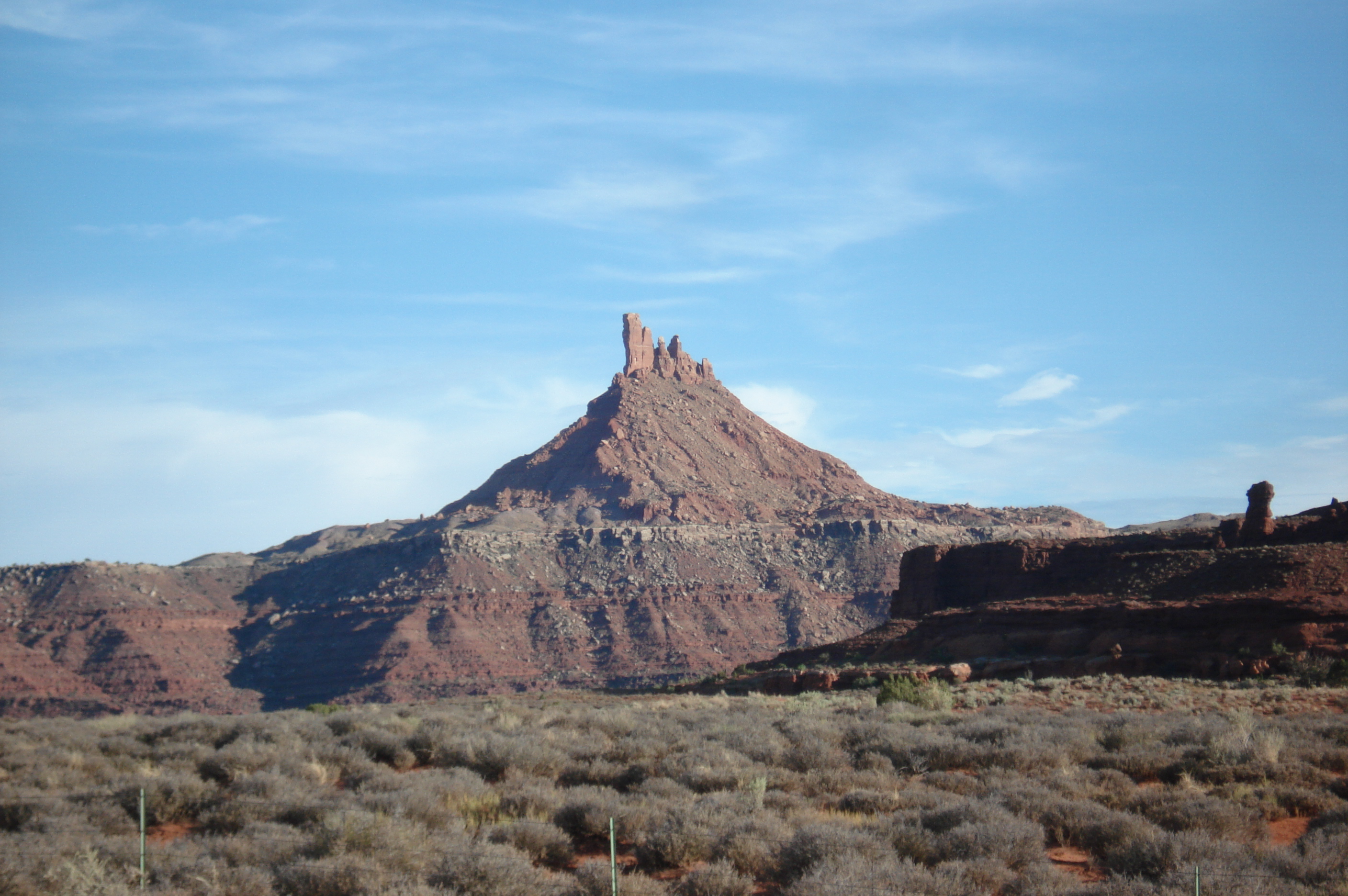
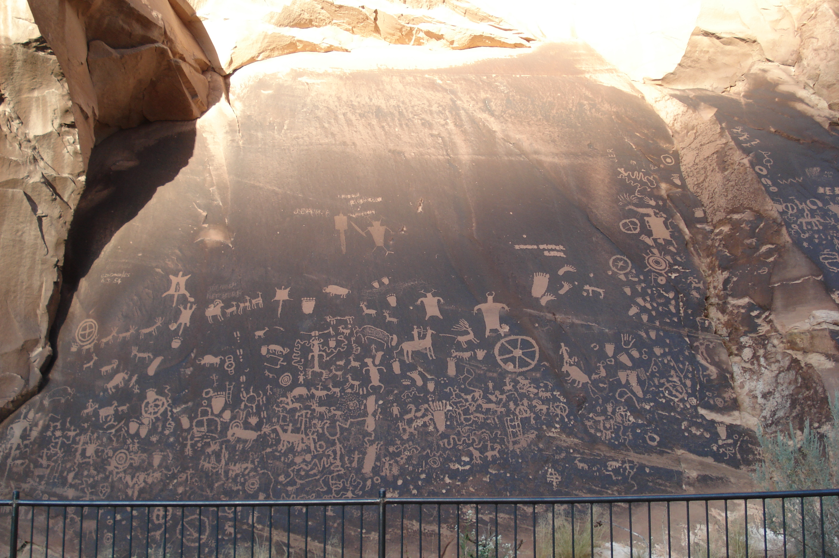
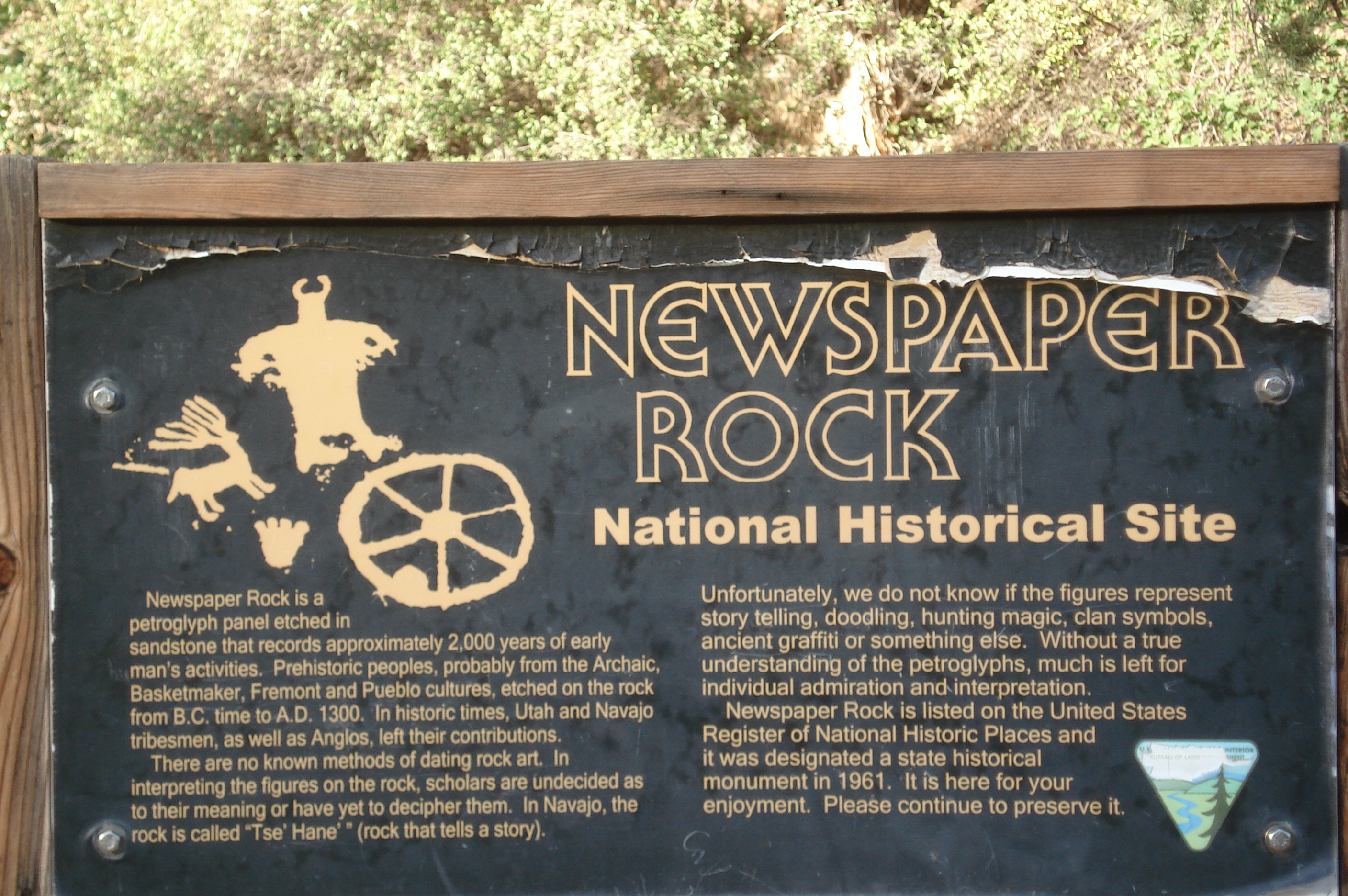
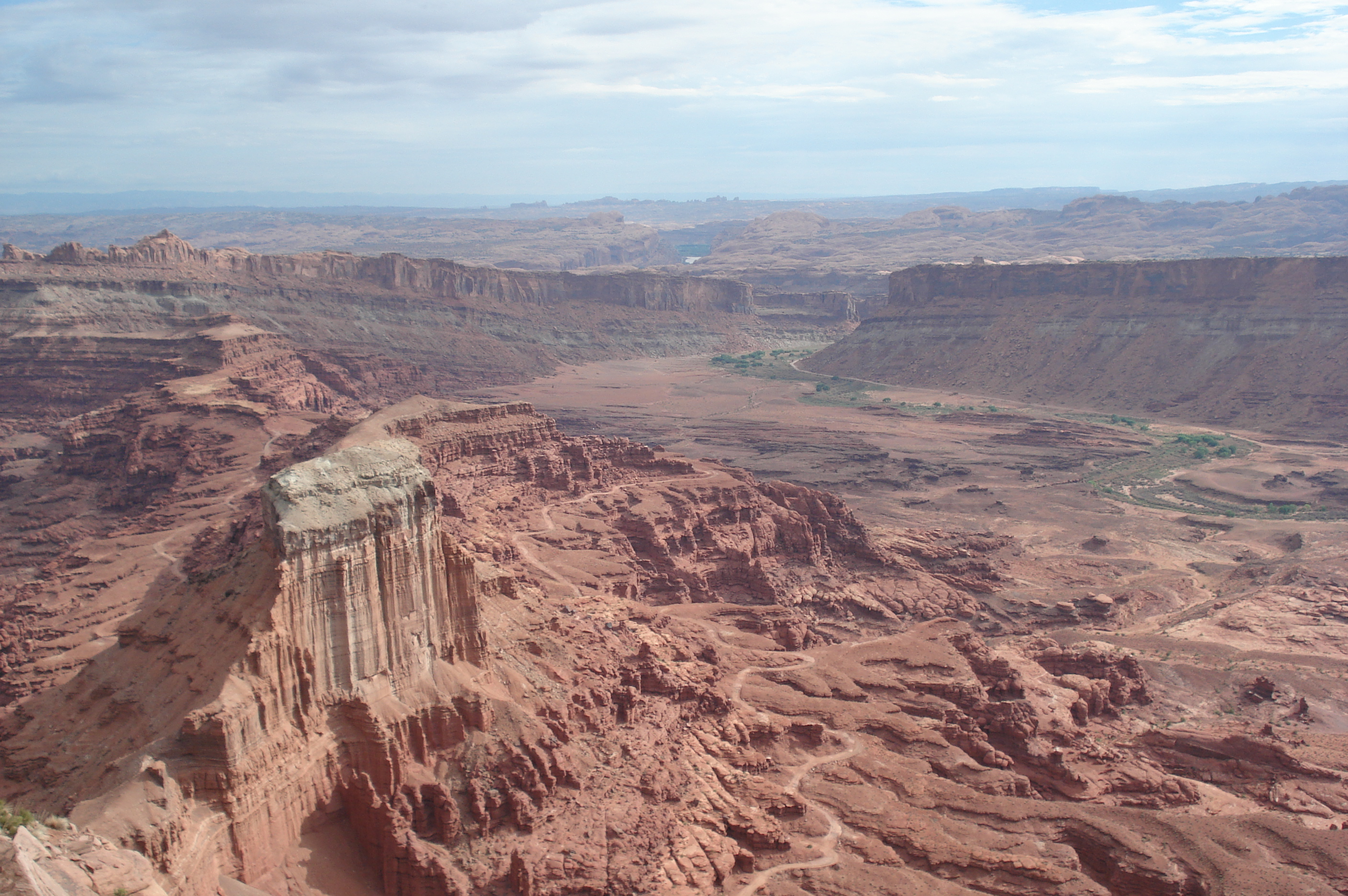
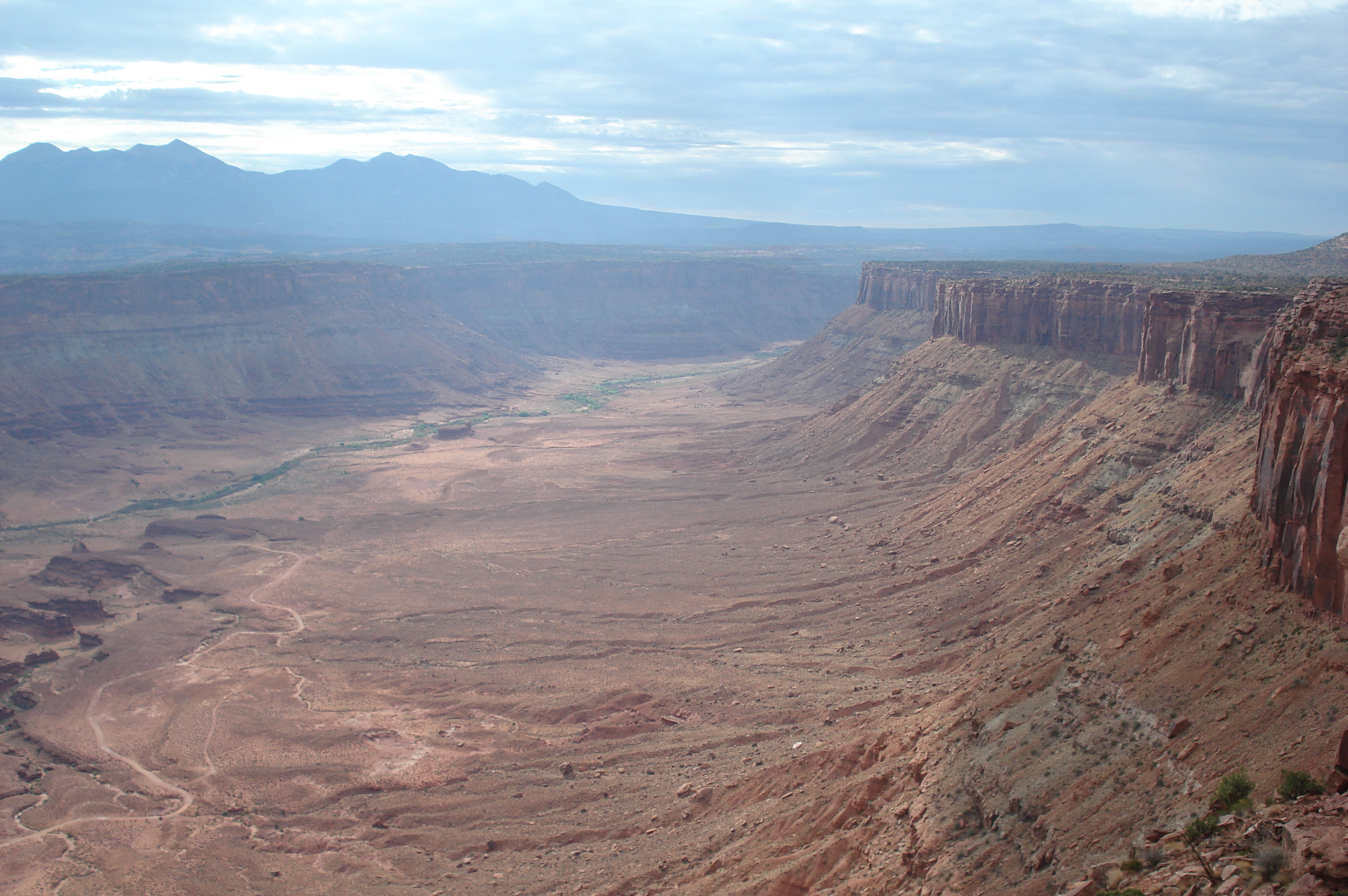
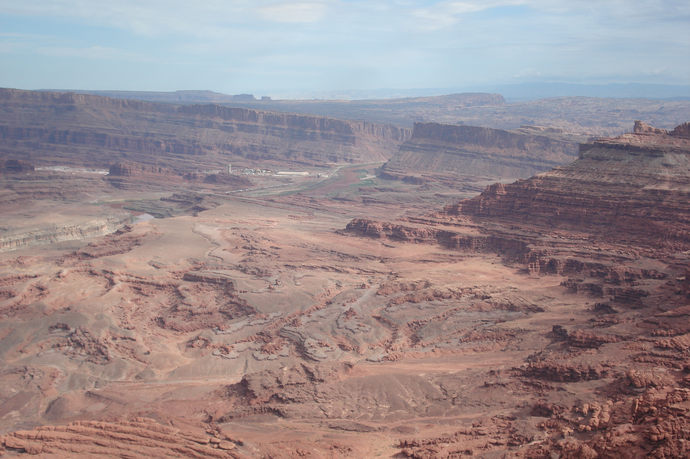
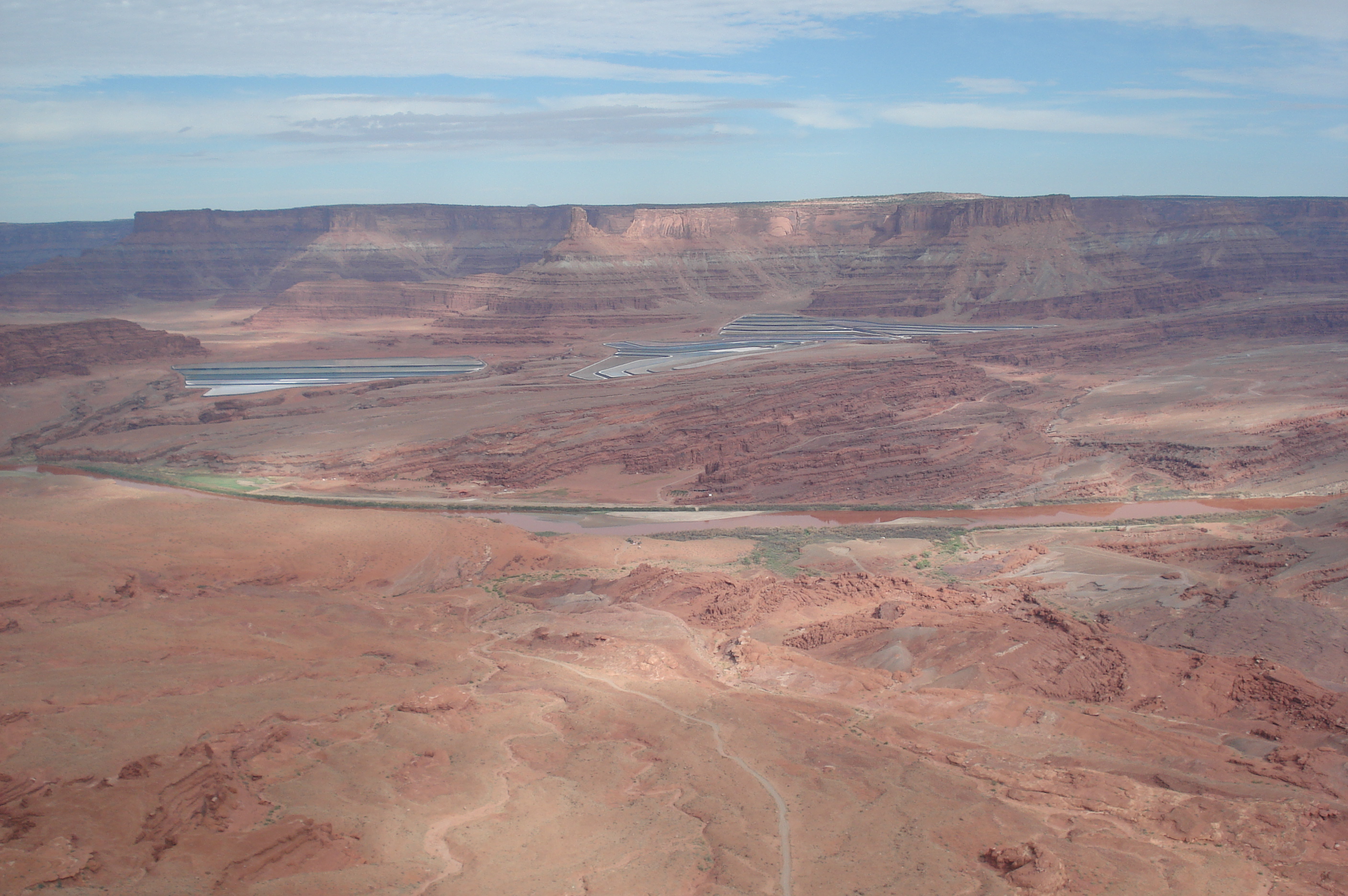
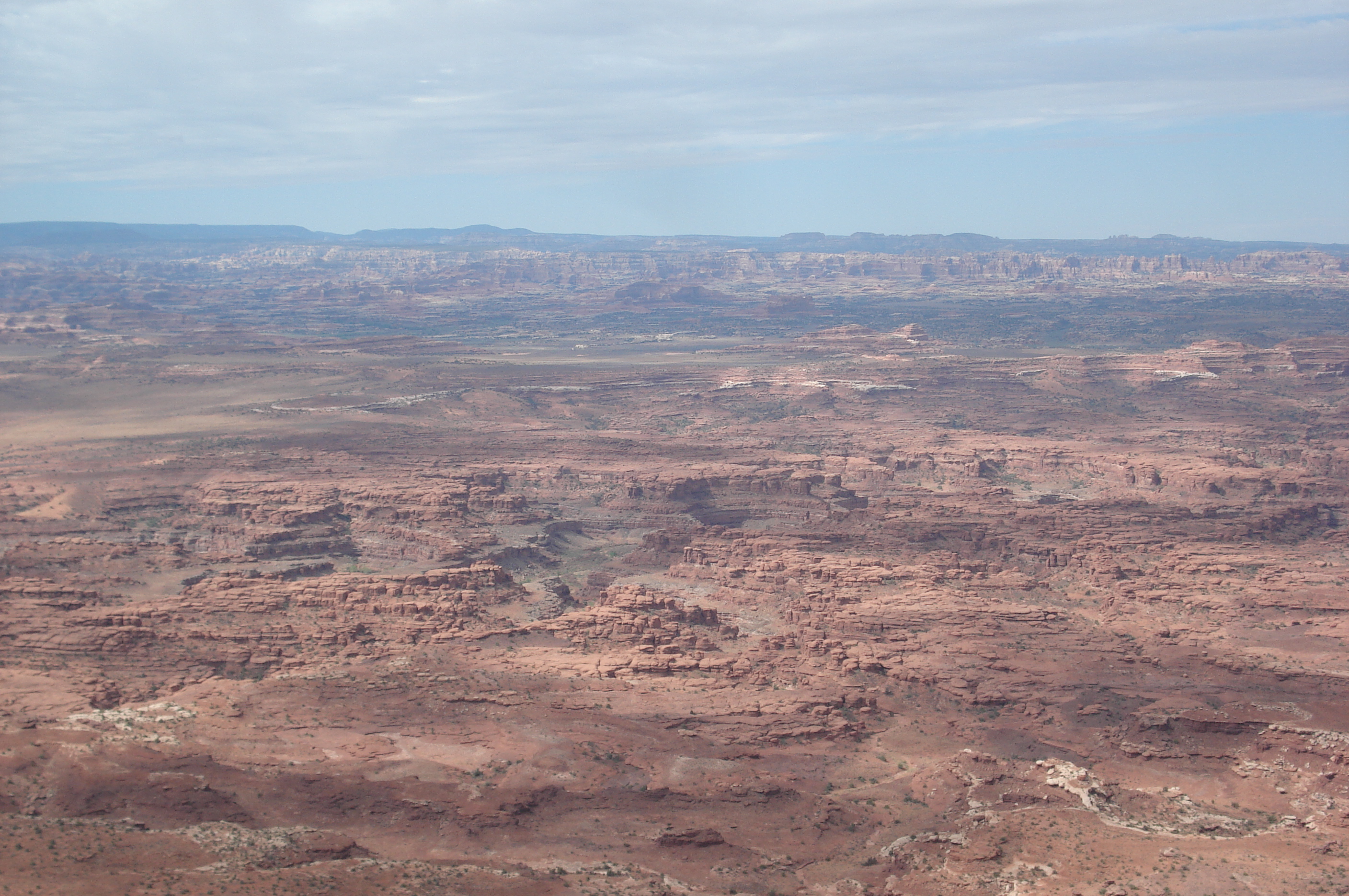
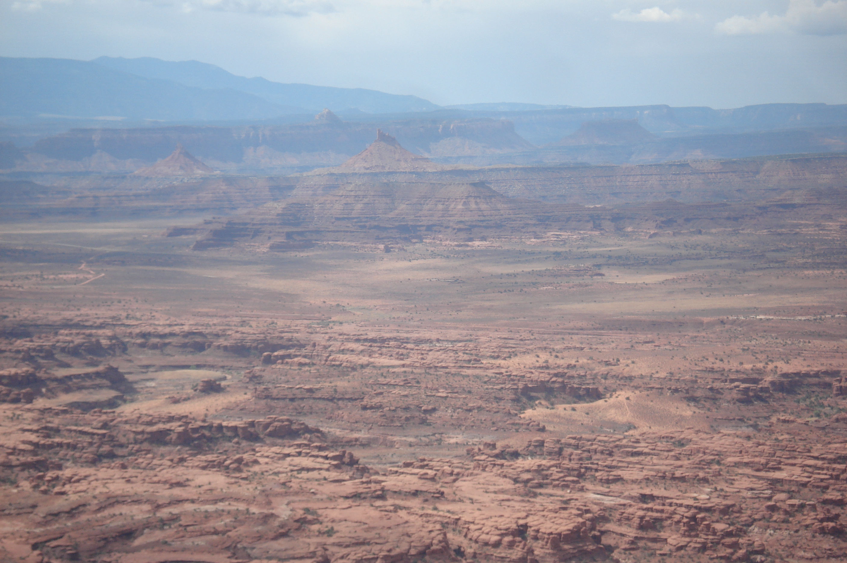
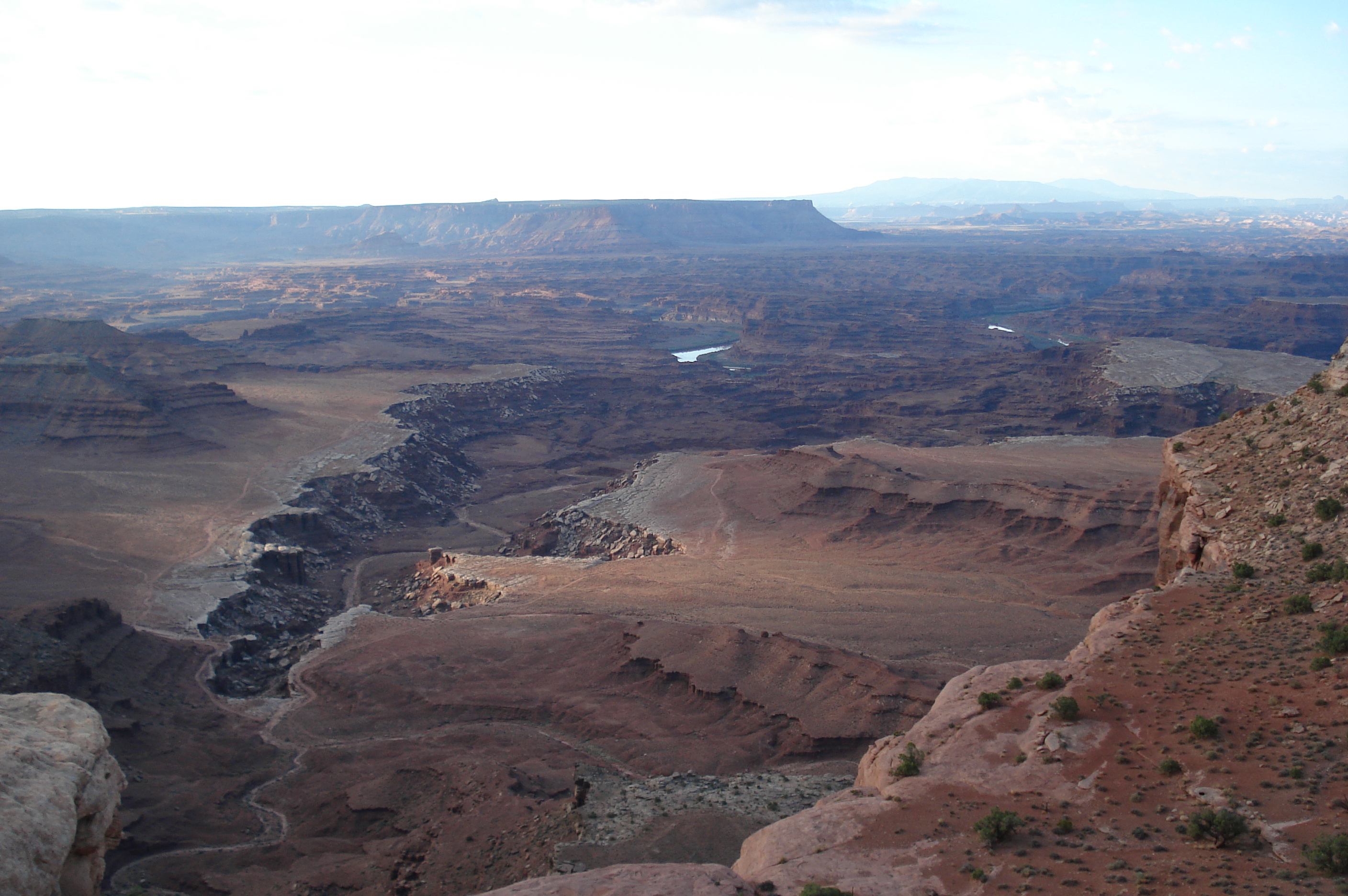
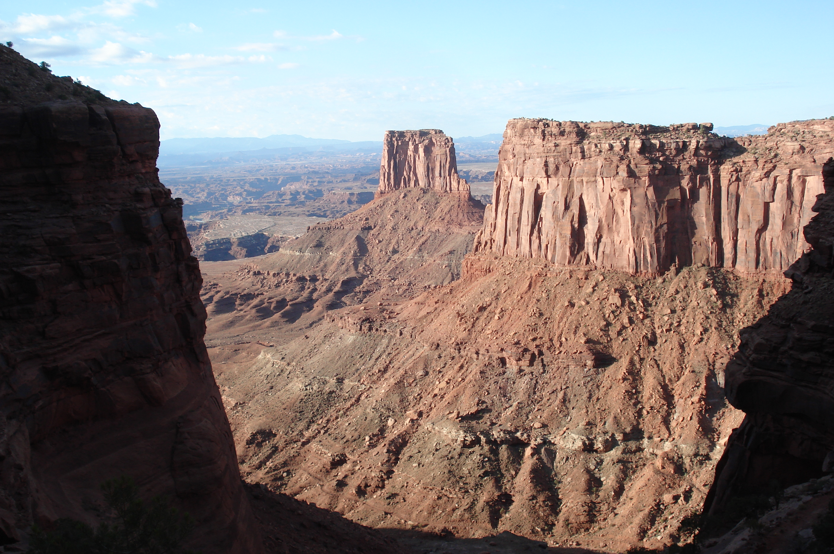
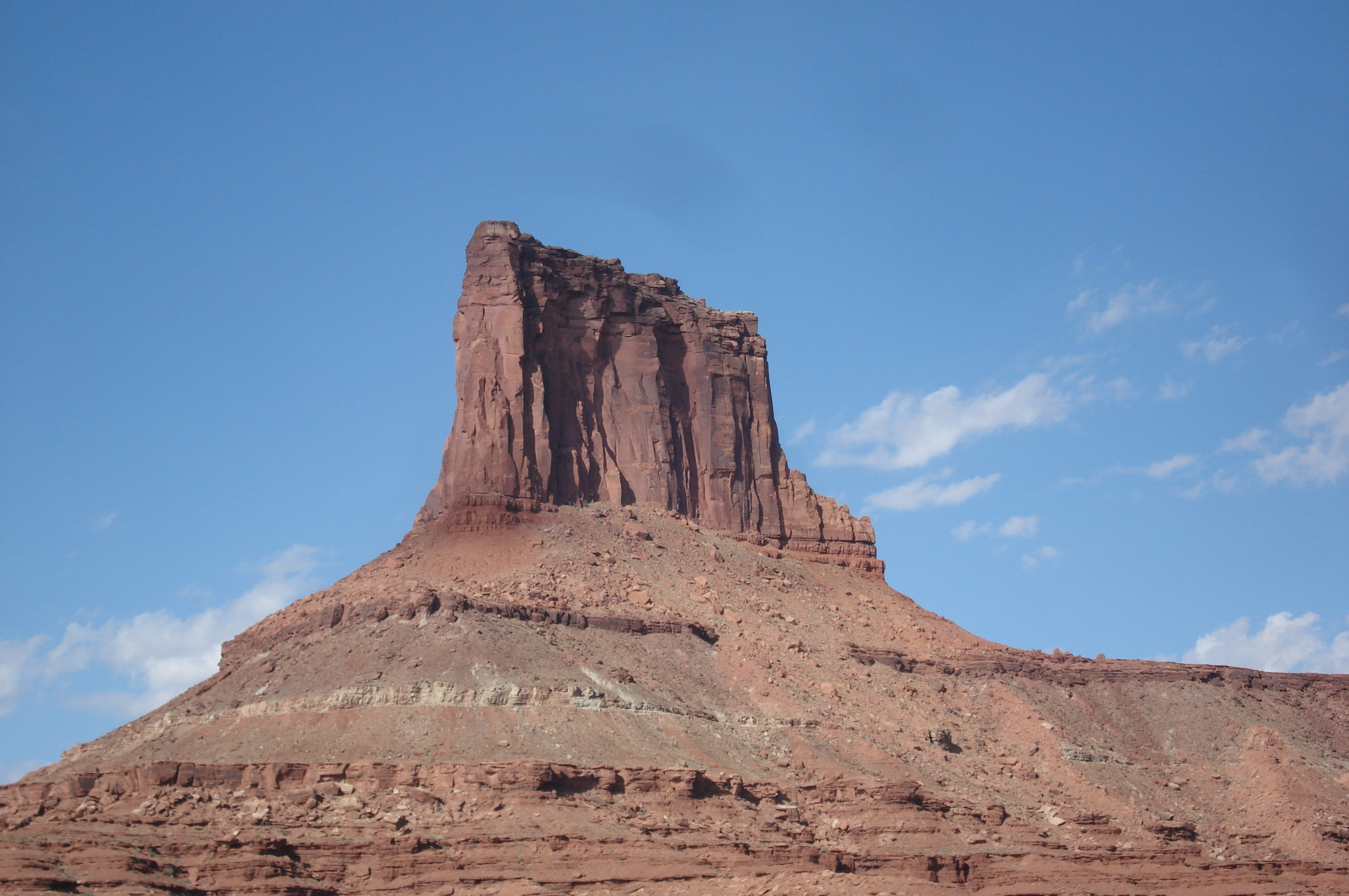
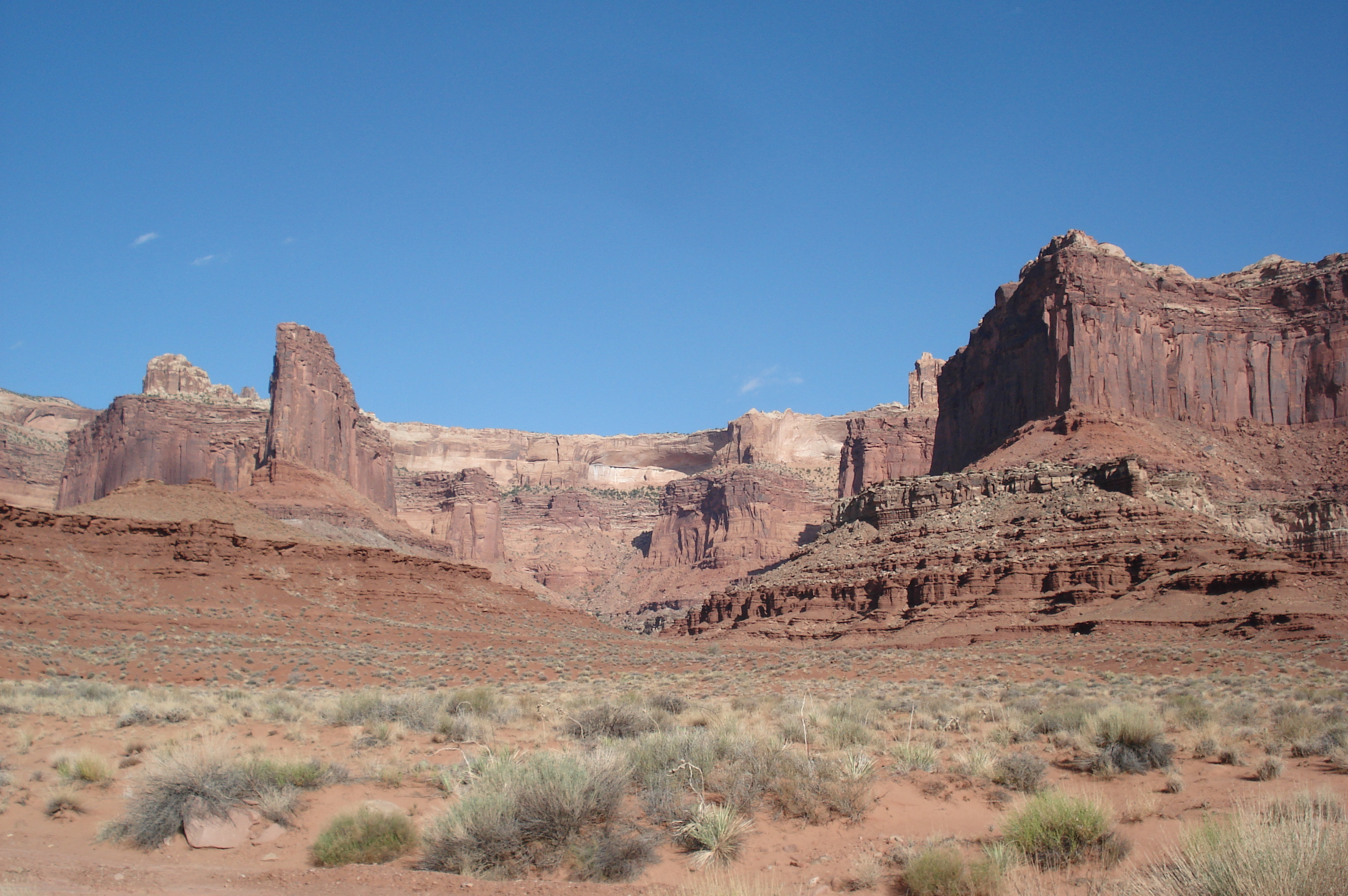
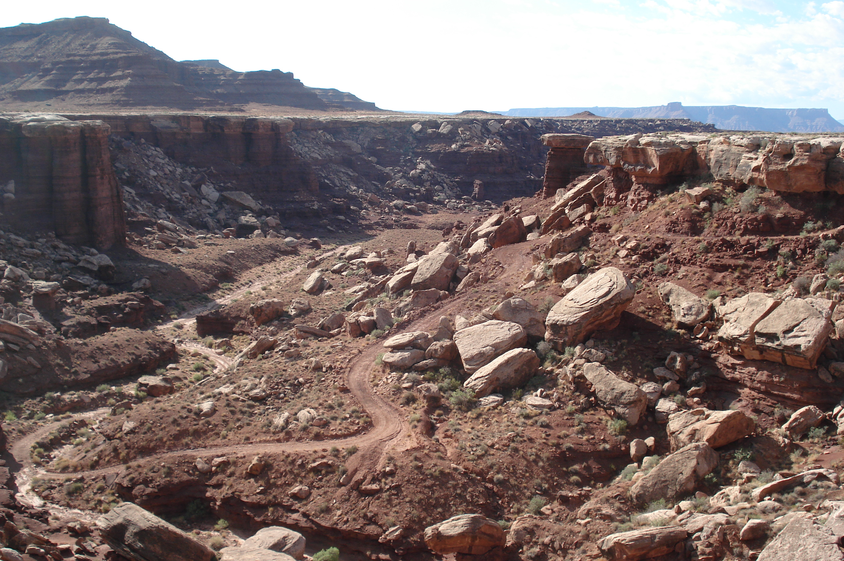
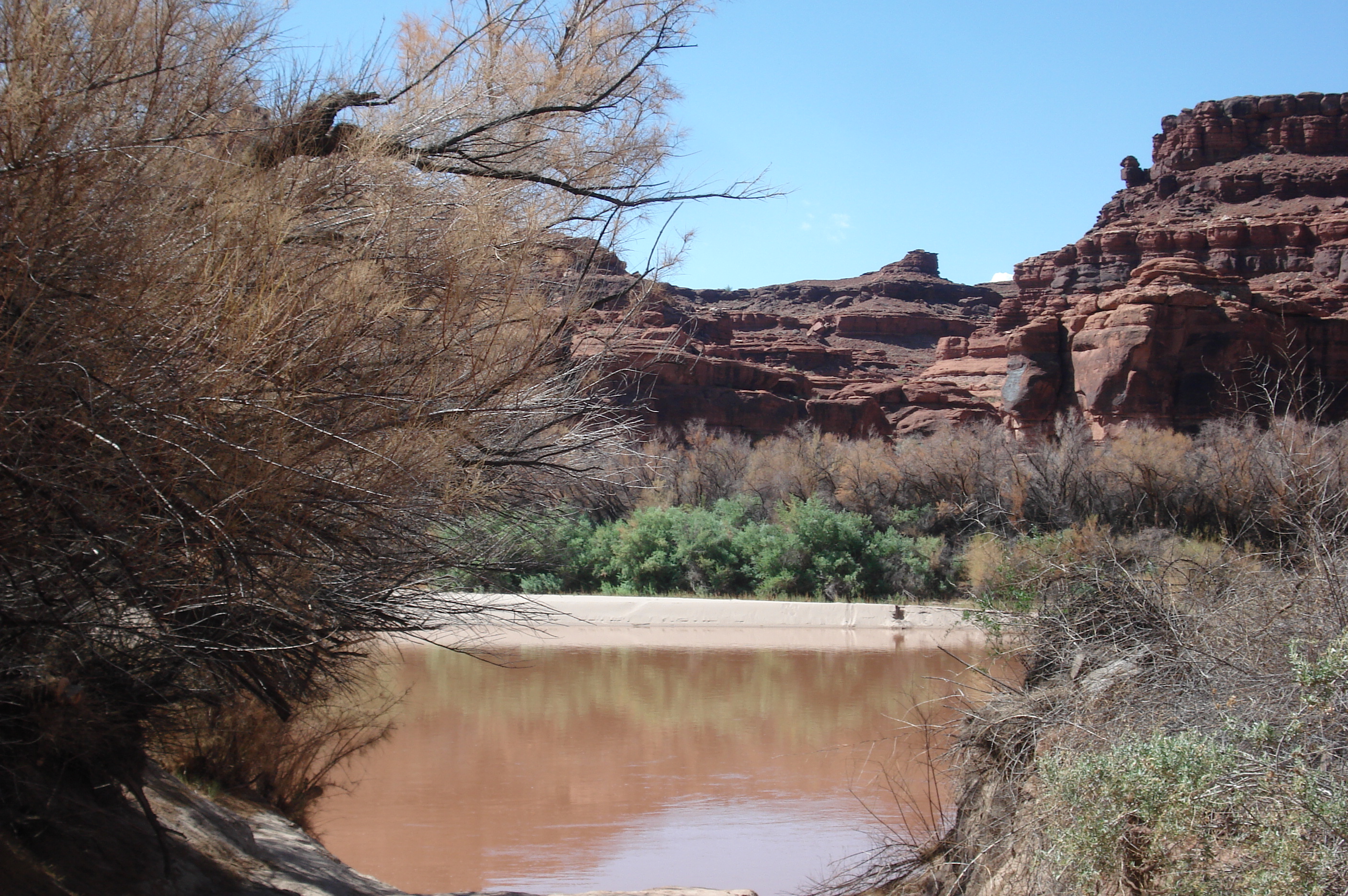
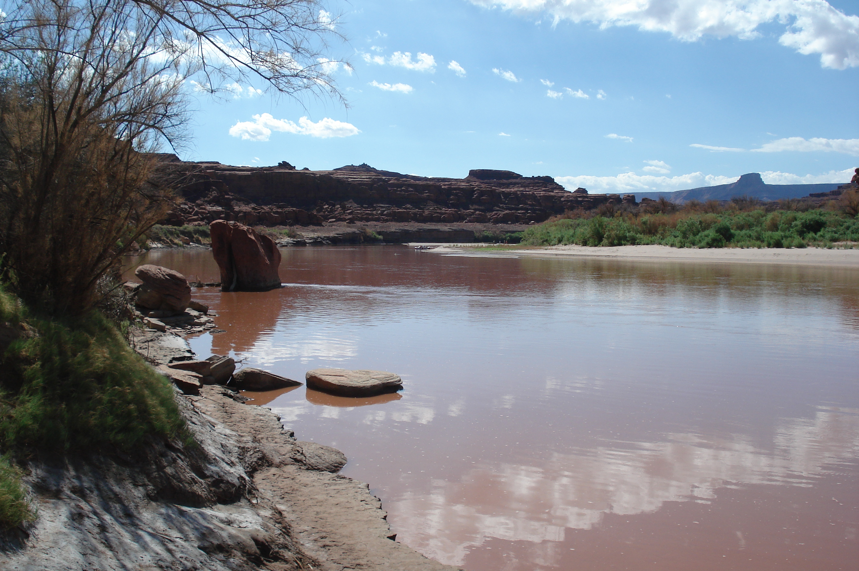
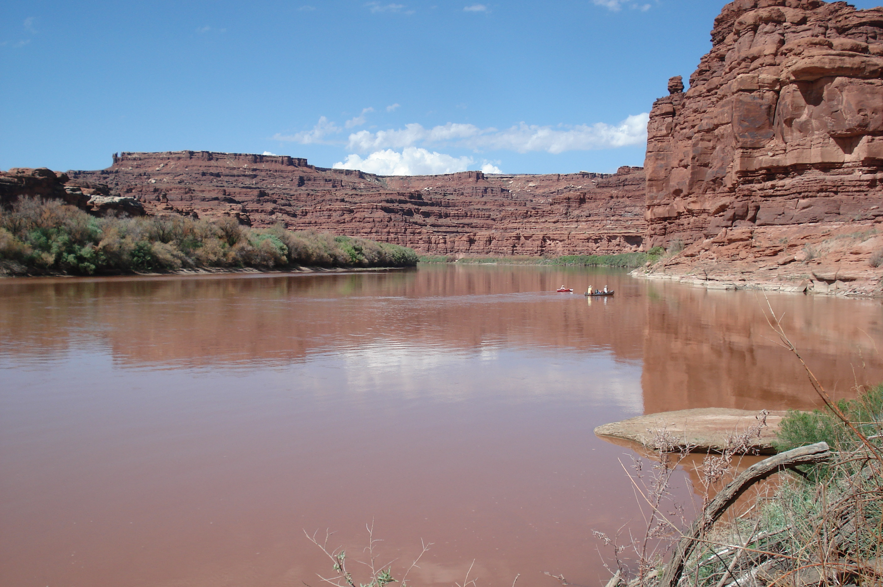
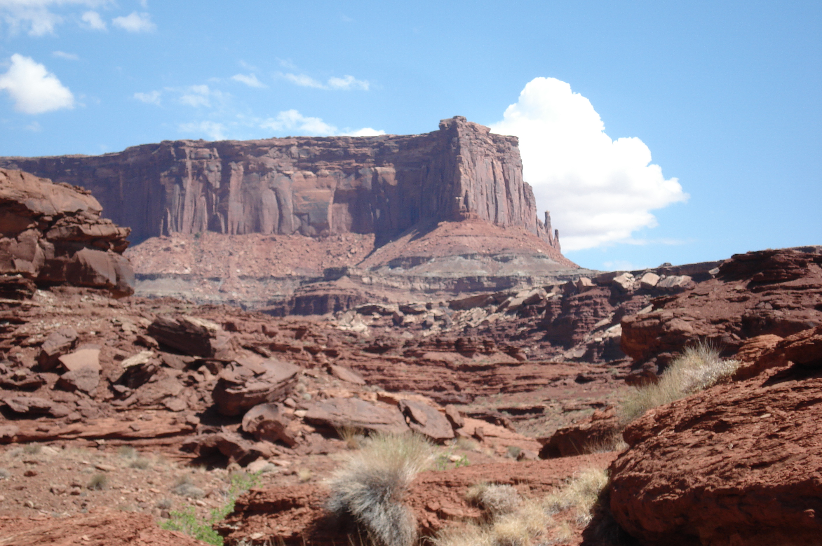
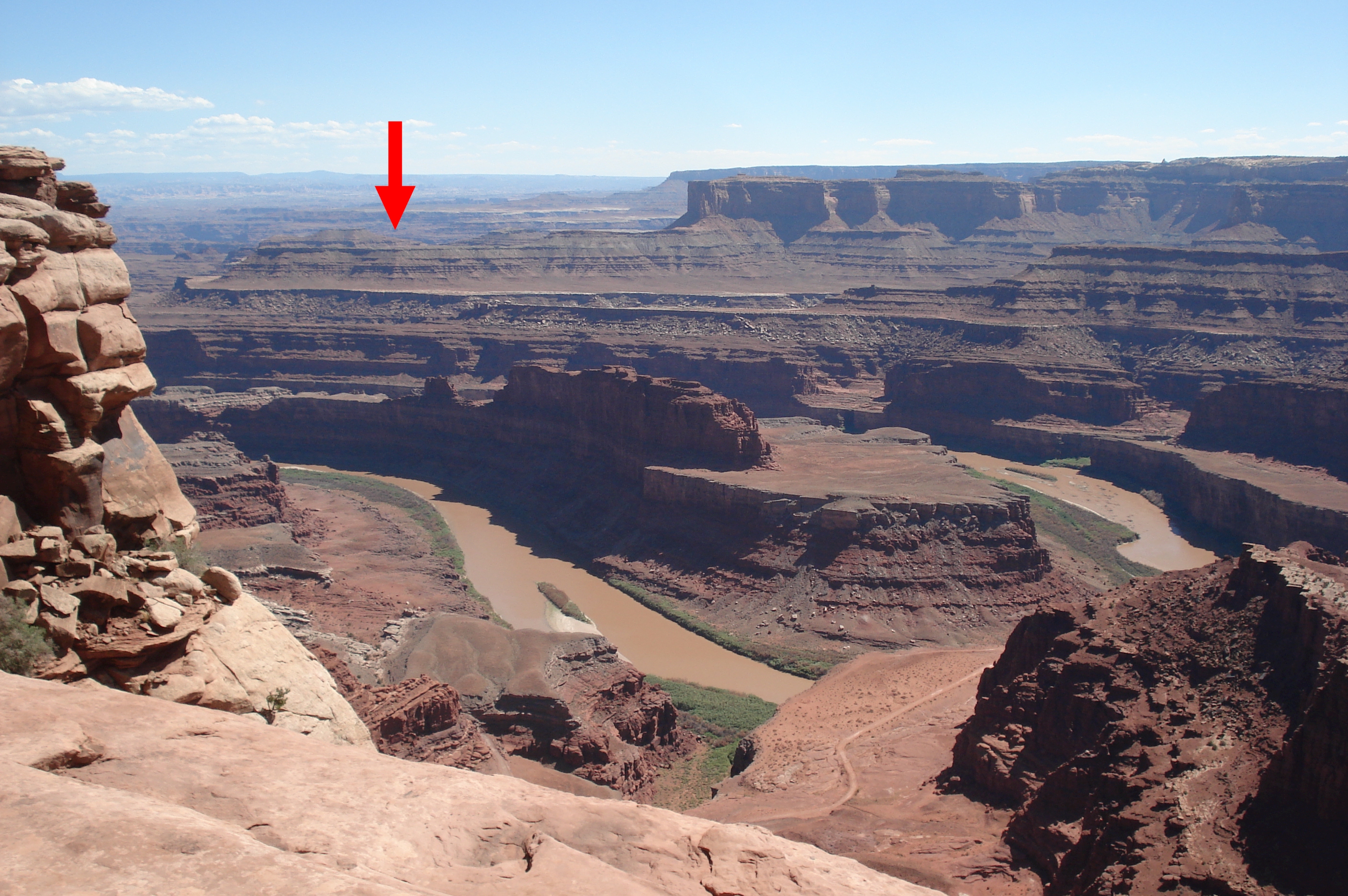
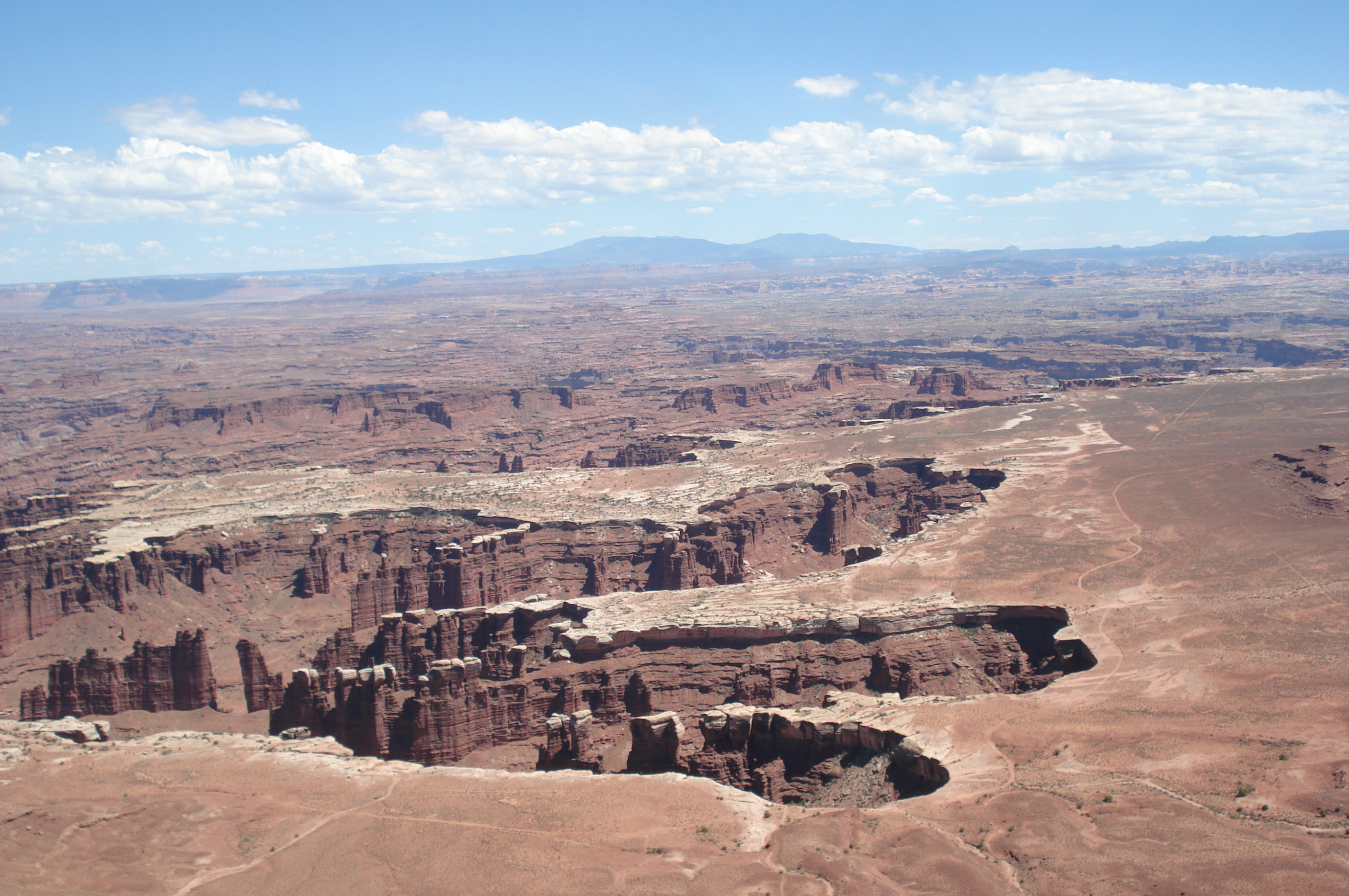
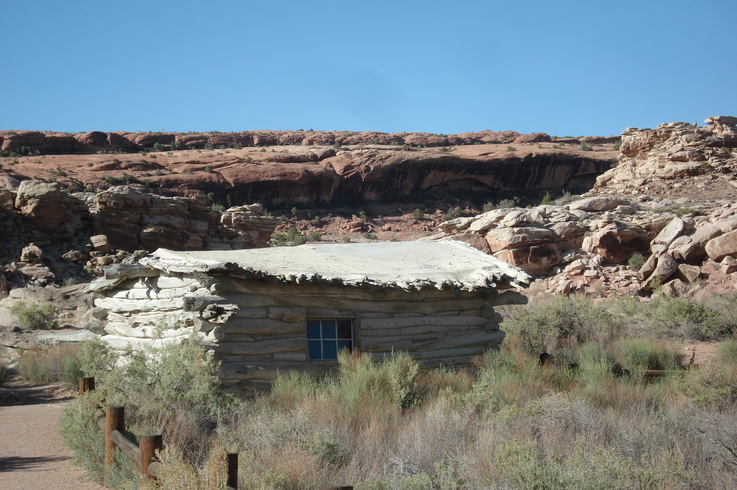
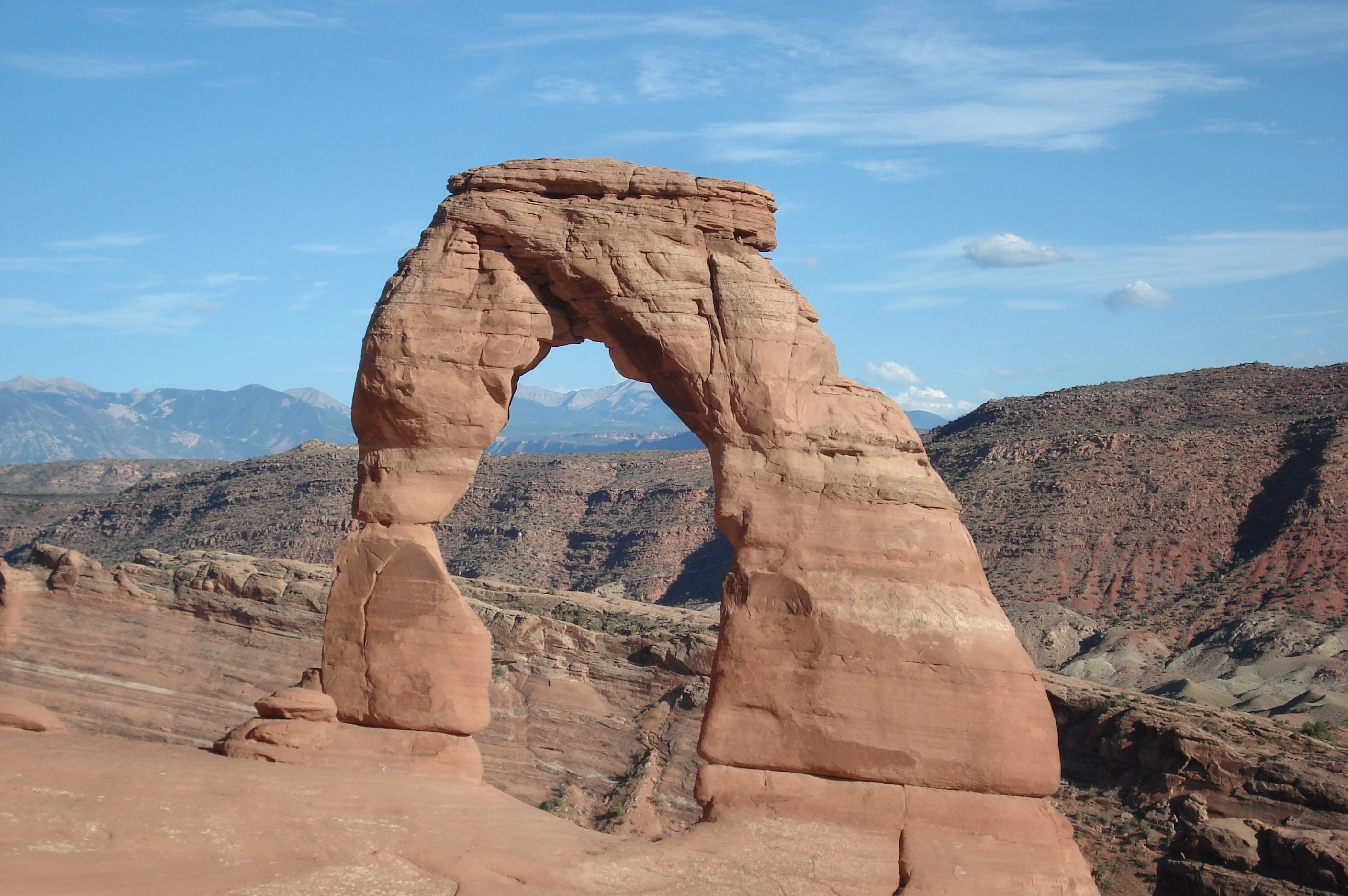
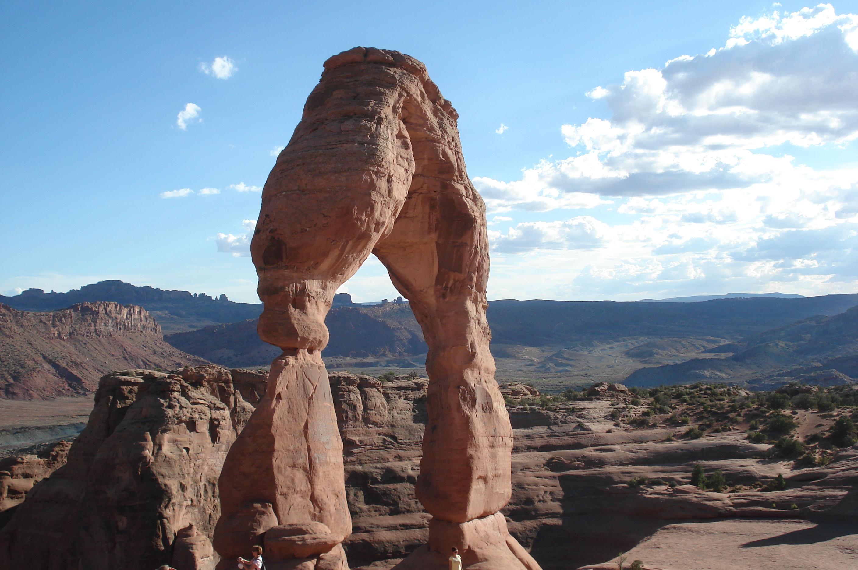
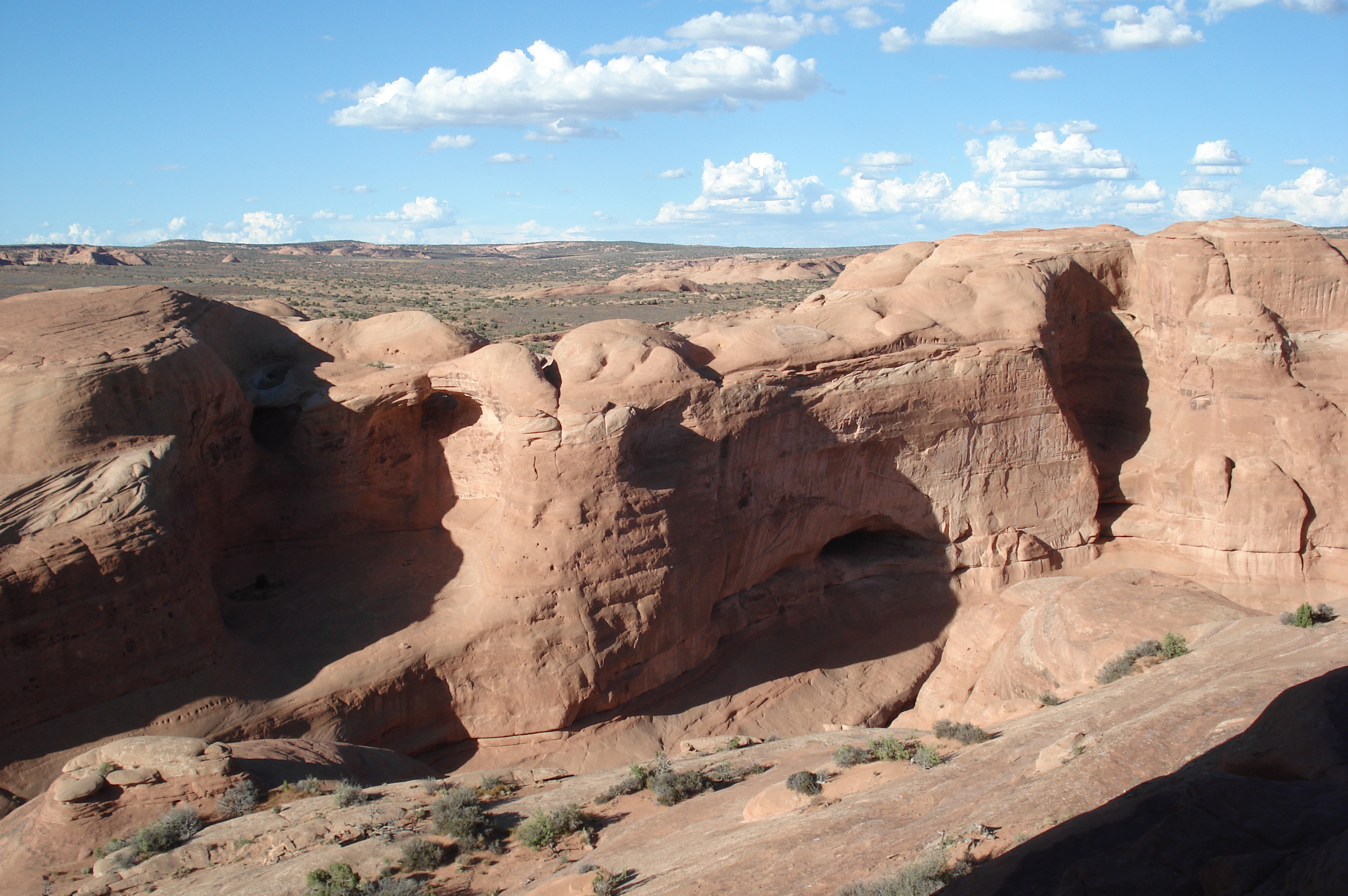
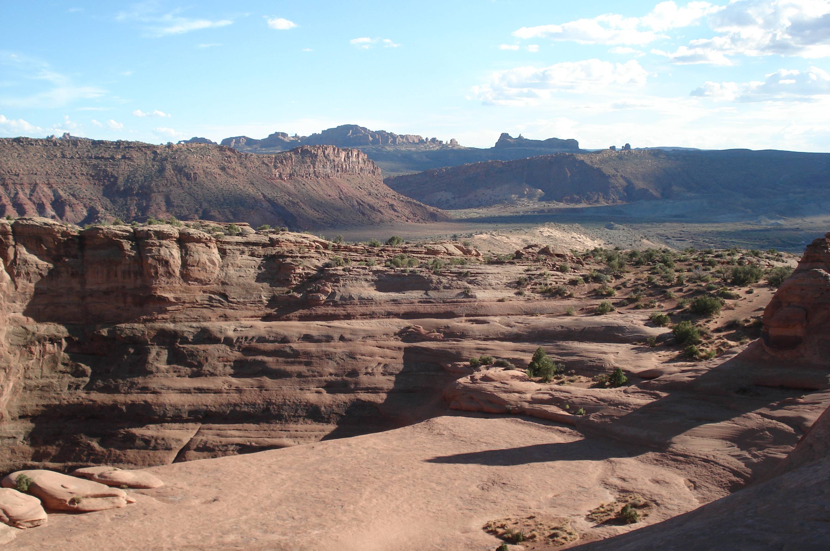
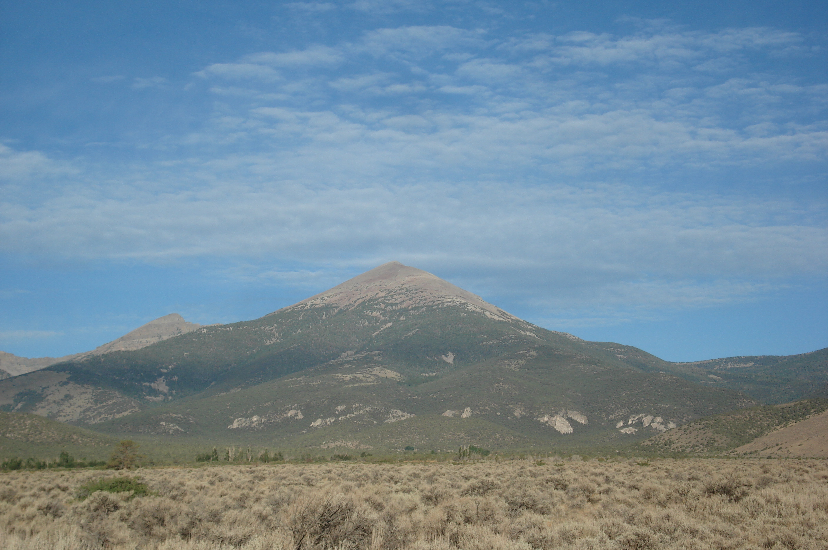
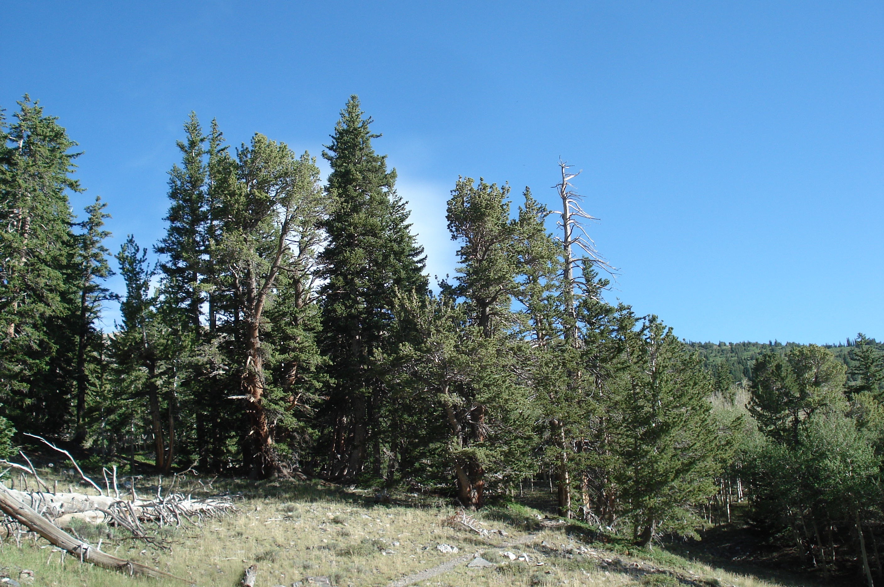
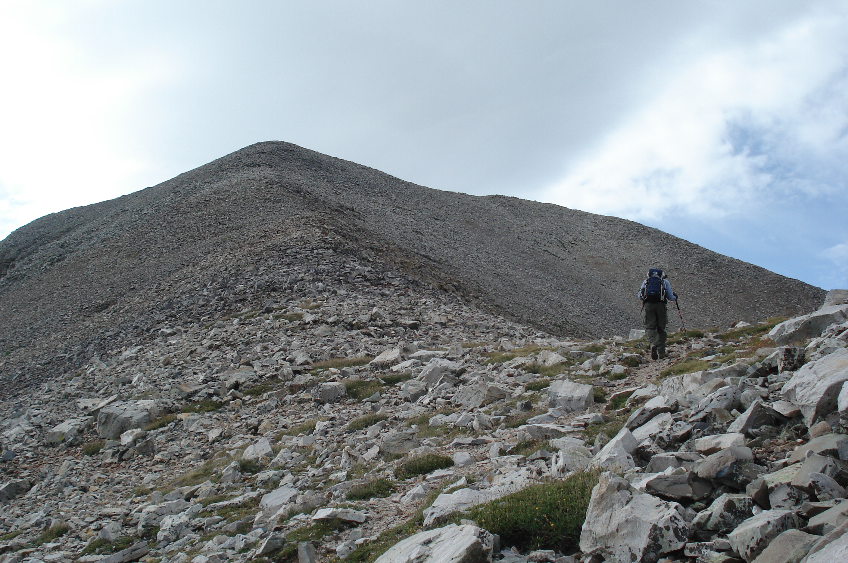
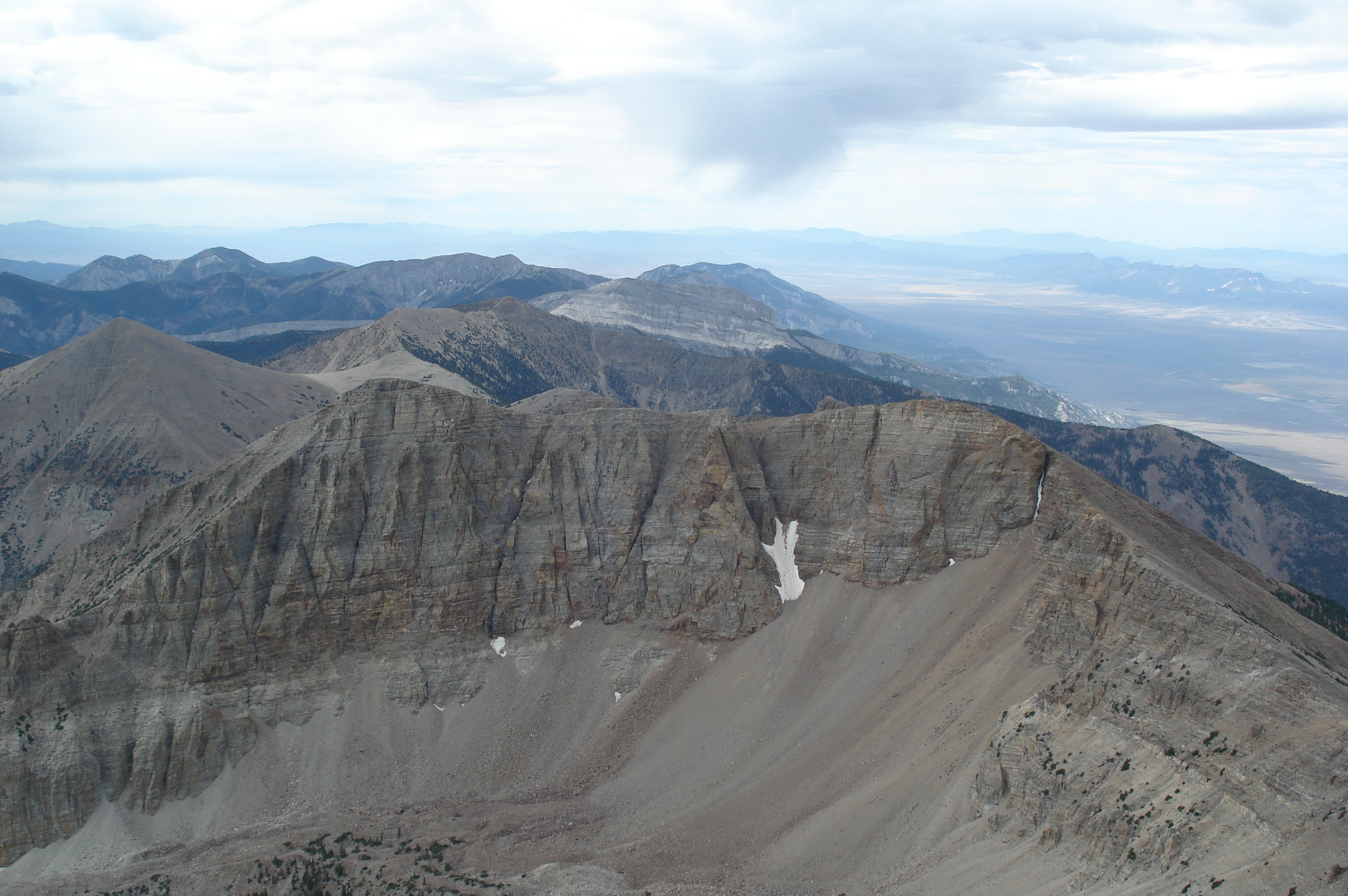
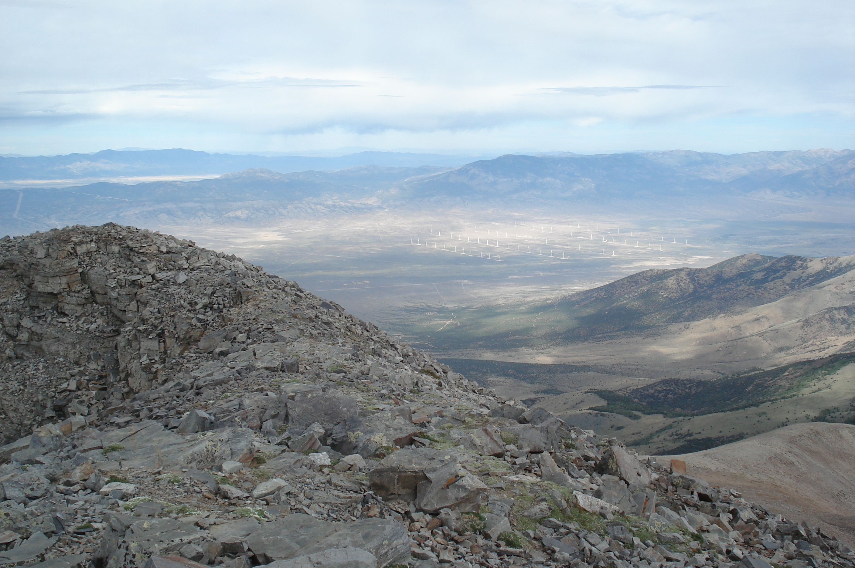
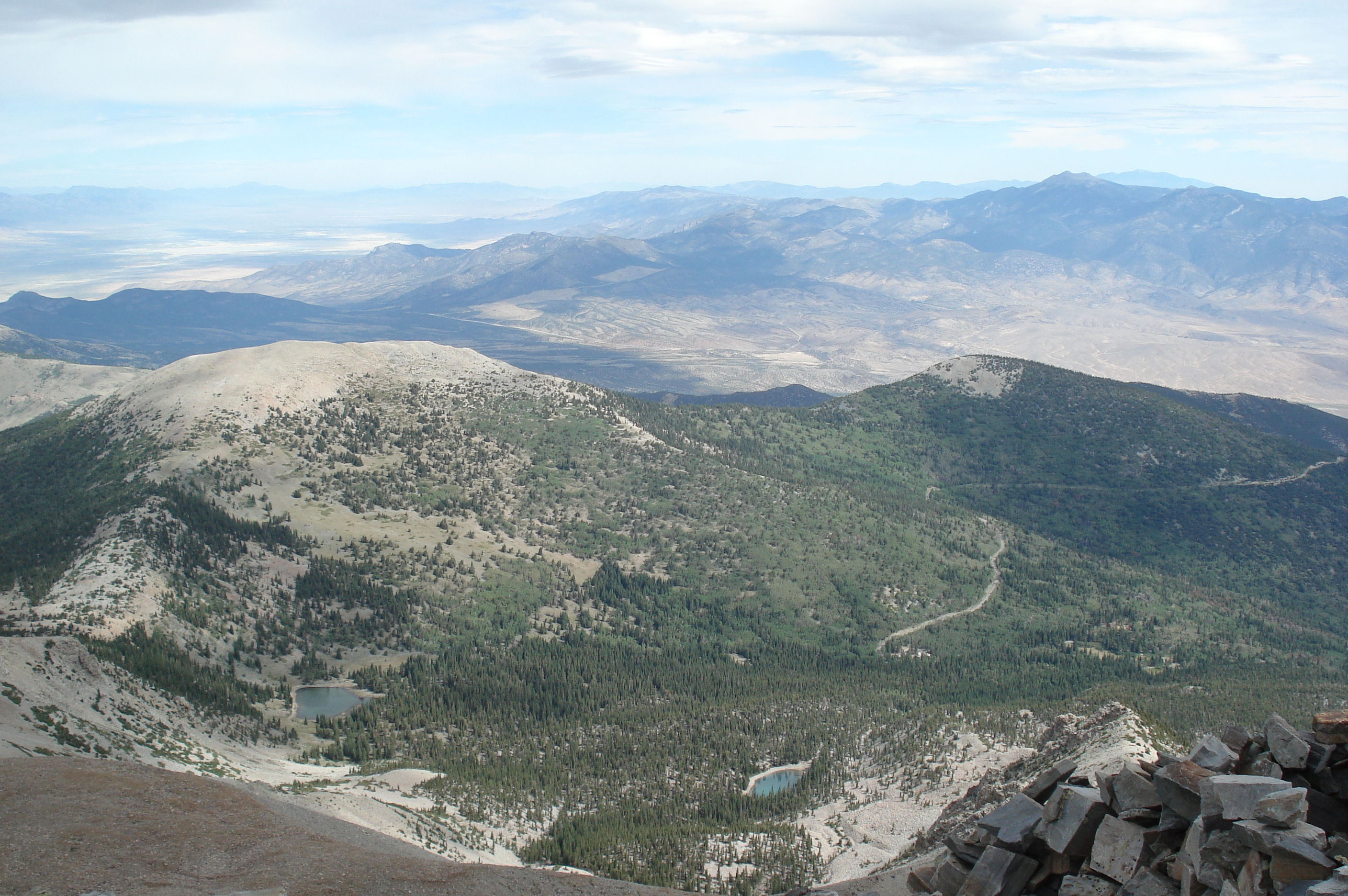
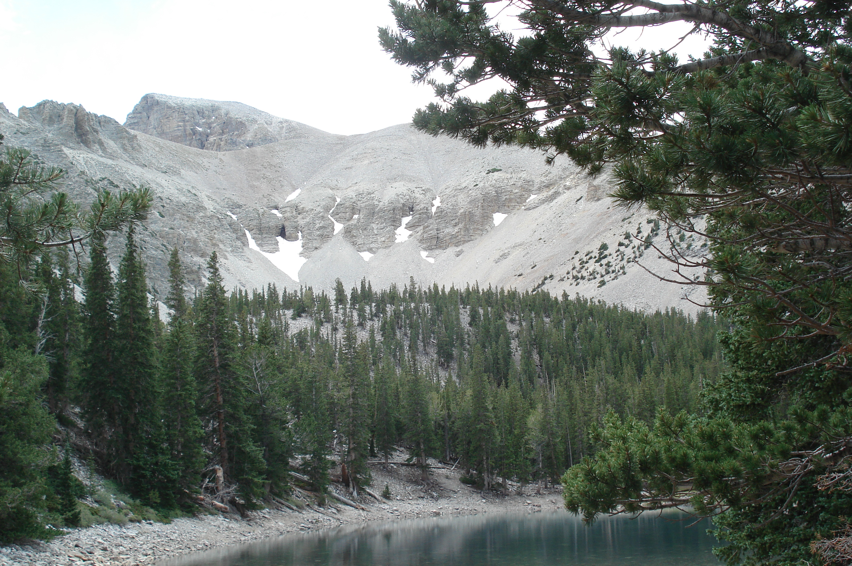
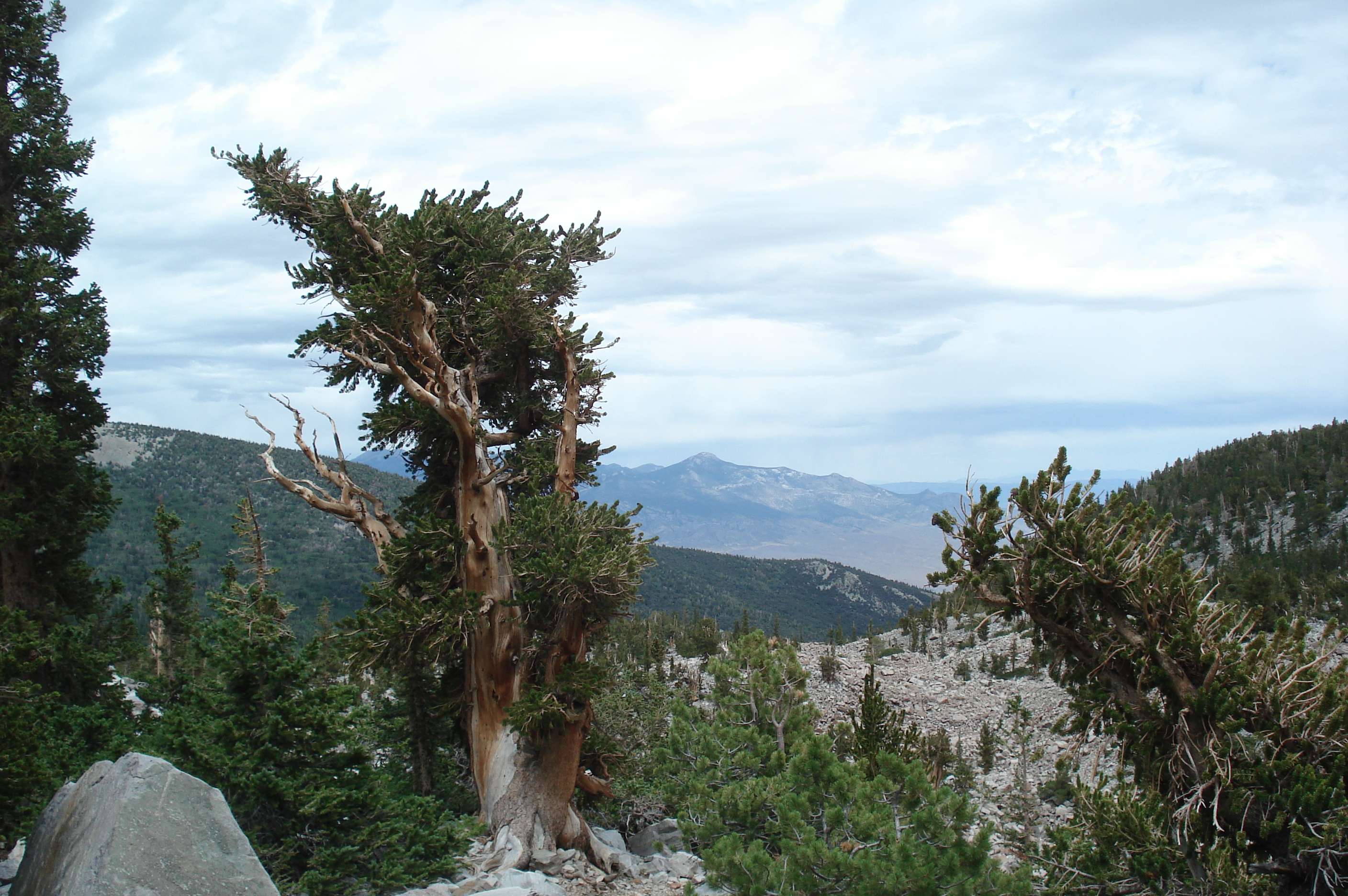
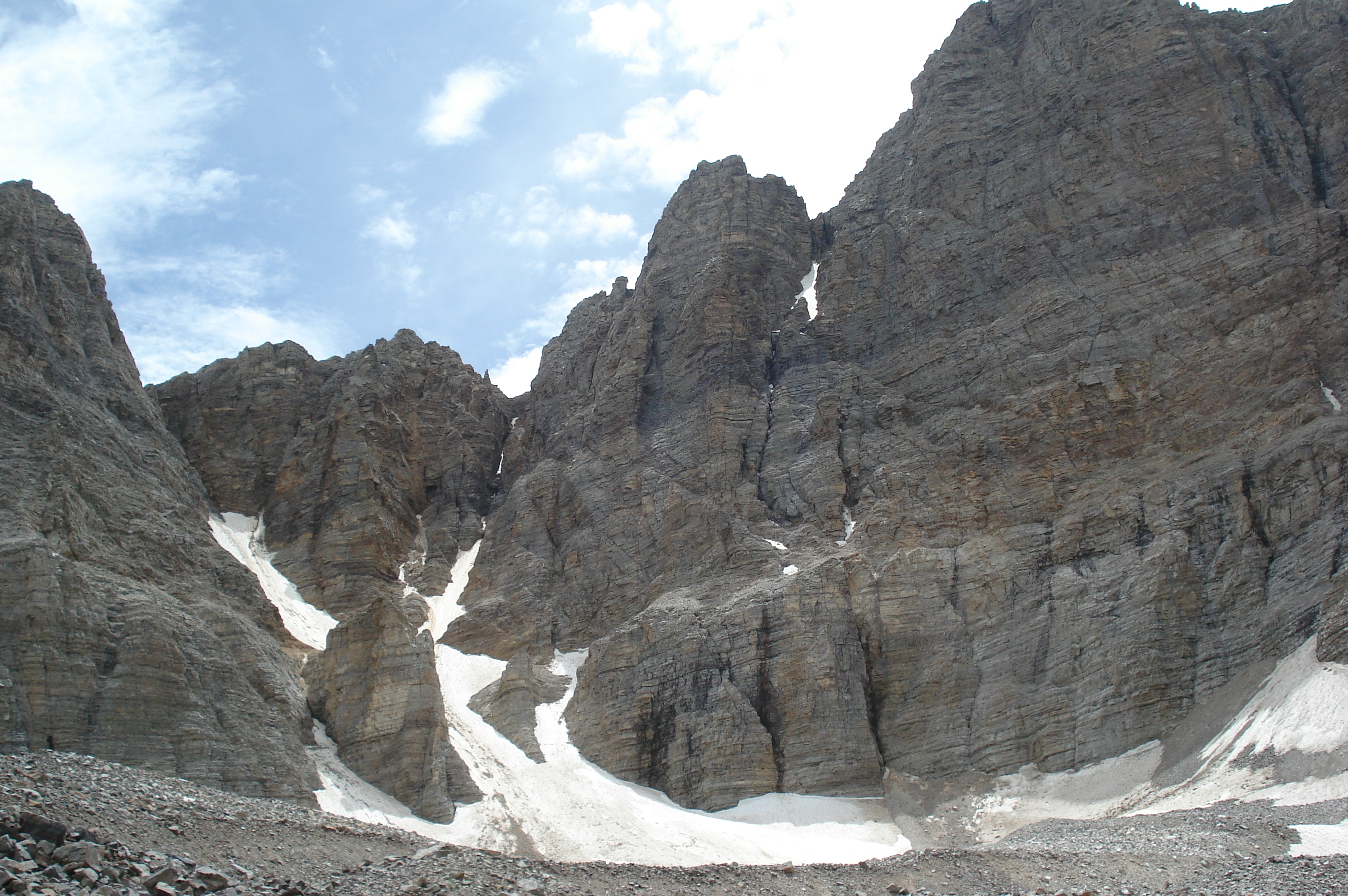
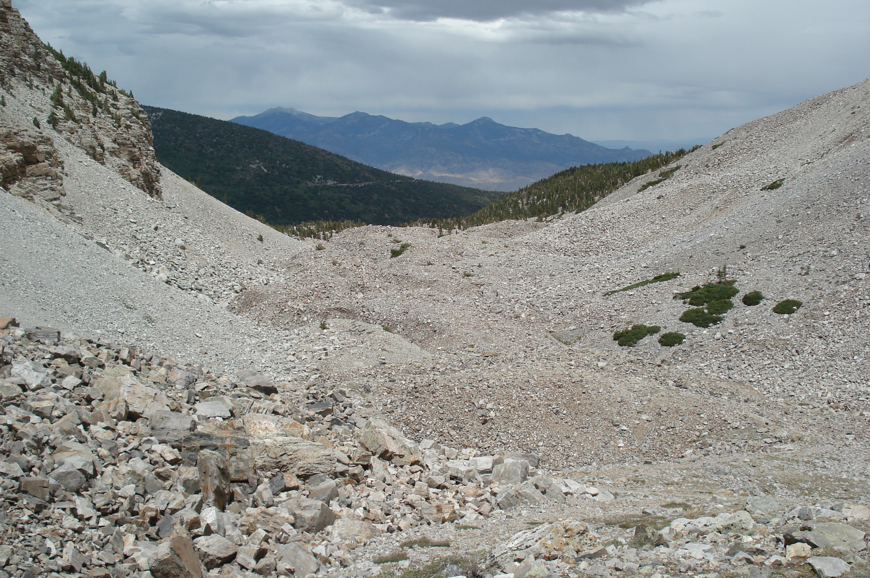
Here are a few photos from Charlie's trip to Canyonlands, Arches and Great Basin National Parks in July '12. Click on one of the small images below to see it full size.

Sunrise on the trail to Druid Arch in Canyonlands National Park The trail to Druid Arch passes through Elephant Canyon The trail is marked by cairns, this one happened to be in a tree The trail is very narrow in some places
It's a very steep climb out of Elephant Canyon, up to Druid Arch Some rock climbing just below Druid Arch Looking back down into Elephant Canyon Druid Arch
The trail to Chesler Park has some tight spots too Chesler Park is a meadow surrounded by rock pinnacles Chesler Park The Joint Trail follows a narrow fissure in the rocks
The Joint Trail is a very tight squeeze Some rock climbing within the Joint Trail Lots of cairns inside the exit from the Joint Trail Chesler Park from the ridge leading back to Elephant Canyon
The Confluence Trail passes through a narrow arch The Confluence Trail The confluence of the Green River (left) and Colorado River (right) Sixshooter Peak
Newspaper Rock The story of Newspaper Rock From Anticline Overlook, looking South-West along the Colorado River and Meander Canyon From Anticline Overlook, looking South-East
From Anticline Overlook, looking North to the Potash mine outside Moab From Anticline Overlook, looking West towards the potash evaporation ponds The Needles from Needles Overlook Sixshooter Peak from Needles Overlook
The Lathrop Canyon trail passes through grasslands for two miles before reaching the canyon rim First view of Lathrop Canyon and Airport Tower Looking down into Lathrop Canyon from the canyon rim Airport Tower and the South side of Lathrop Canyon
Airport Tower from the bottom of Lathrop Canyon The Lathrop Canyon trail climbs down that headwall The trail follows a jeep road to the Colorado River Lathrop Canyon is the only place in Canyonlands that you can hike to the Colorado River
Looking upstream Looking downstream From one place in Lathrop Canyon, you can see Dead Horse Point.... .... and many hours later, from Dead Horse Point you can just pick out Lathrop Canyon
Looking South from Grand View Point Finally, found some property near Moab that might be in our price range At sunset, lots of people hike the trail to Delicate Arch in Arches National Park Delicate Arch
Delicate Arch Looking North from Delicate Arch Looking South from Delicate Arch Siever Lake in Western Utah, on the way to Great Basin National Park
Wheeler Peak in  Great Basin National Park dominates the skyline from miles away The trail up Wheeler Peak Treeline is at around 11,000' Charlie met a hiker called Keith, also a big fan of Big Bend, and they climbed the summit ridge together
Charlie on the summit of Wheeler Peak, 13,063' Looking North-East from the summit, a couple of glaciers visible Looking West from the summit, with a wind farm in the distance Stella Lake and Teresa Lake, from the summit of Wheeler Peak
These rock walls near the summit were built by surveyors in the 1880s Stella Lake on the slopes of Wheeler Peak Teresa Lake Some bristlecone pines are 4,000 years old
Bristlecone pine A lake in the glacial moraine The glaciers on Wheeler Peak The trail up the glacial moraine is really hard work
Charlie needs either new boots or new feet Bonneville Salt Flats in Western Utah Bonneville Salt Flats Does anyone know what this monument on I-80 in Utah is all about?

Charlie and Janice's home page

Last updated: 12/16/12 08:02 PM by Charlie Ashton